|
PC Aviator Inc
::
Boxed Software
::
Flight Sim 2004 Addons
::
Scenery
::
PhotoScenery
::
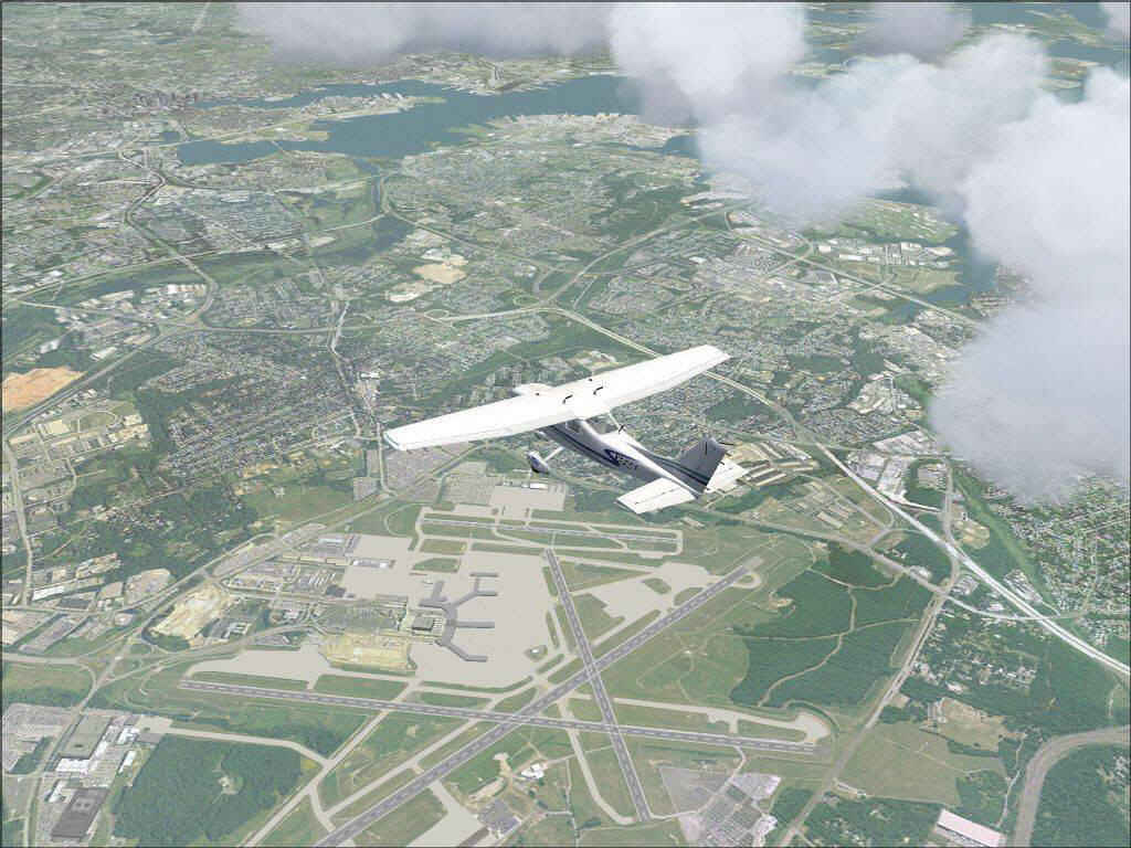
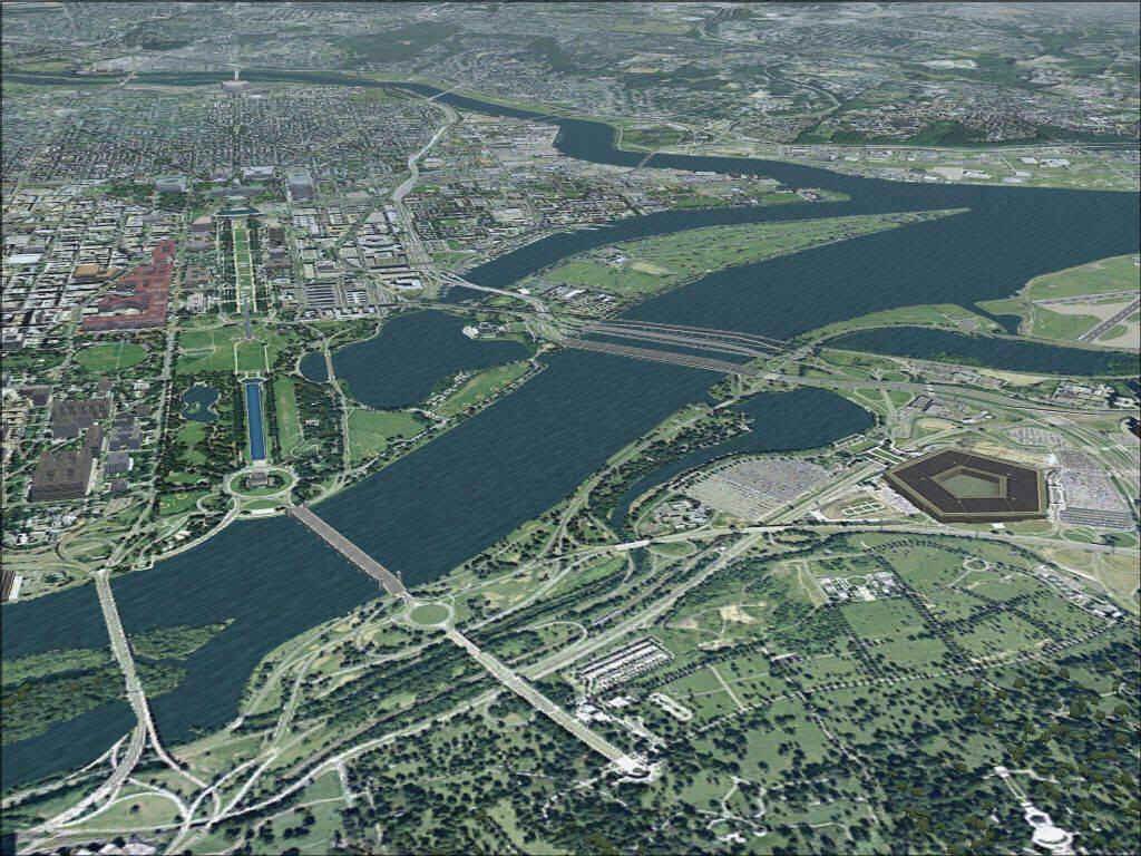
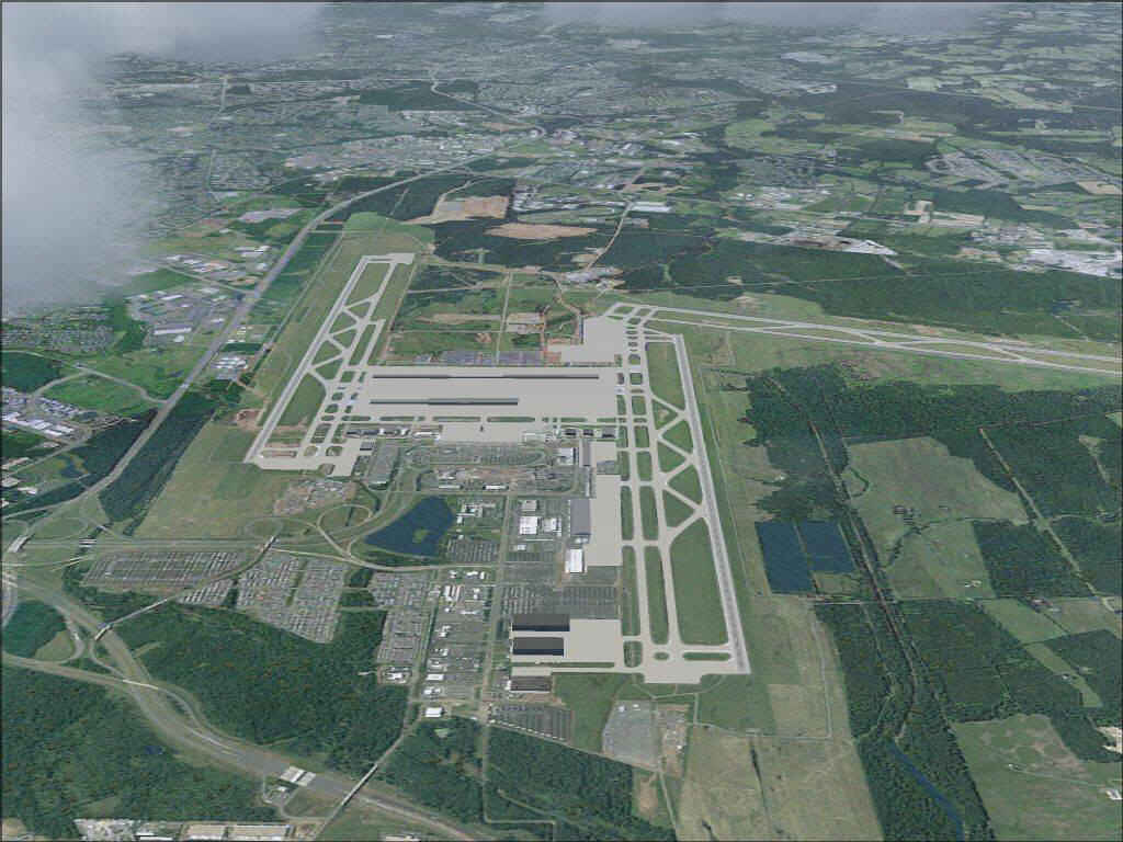
MegaScenery USA: Washington DC, Baltimore, Mid Atlantic Region - FULL (FS2004)
|
MegaScenery USA: Washington DC, Baltimore, Mid Atlantic Region - FULL (FS2004)

Search
Categories
- DEALS & DISCOUNTS!
- MS Flight Simulator 2020
- => NEW ADDITIONS
- => CLEARANCE ITEMS
- Flight Sim X Addons
- Prepar3D Addons
- FSX:Steam Addons
- X-Plane Addons
- Flight Sim 2004 Addons
- Other Flight Sim Addons
- MegaSceneryEarth
- Flight Simulators
- Air Traffic Control
- System Utility
- Flight Training Software
- PC Aviator Brand Titles
-
Boxed Software
- Flight Sim X Addons
- Flight Sim 2004 Addons
- Flight Simulators
- X-Plane Addons
- Prepar3D Addons
- Flight Training Software
- System Utility
- Flight Controls & Home Cockpit
- Books & Magazines
- Aviation Videos
OTHER
-->
Users online:
859
shopping
,
1
checking out
Powered by X-Cart php shopping cart
Copyright © 1999-2024 PC Aviator Inc