Introduced years ago as one the first GPS instruments available for the Flight Simulator user, EZ-GPS has earned a reputation as the easiest way to navigate.
Simply put, EZ-GPS gets to your destination without the hassle of setting up complicated instruments. It makes your flight simming life a lot EZer.
Drop this sophisticated technology into any of your aircraft and it's guaranteed to make your navigation chores much simpler. Since EZ-GPS installs instantly, you can be on your way to any destination in the world in just seconds
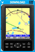
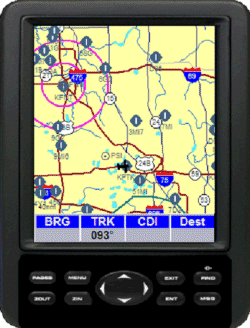
Map Page
The map page provides a crystal-clear moving map so you'll always know your position. The map depicts geopolitical boundaries and shows the major roadways (with identifiers), lakes, and rivers.
The map shows the airports and identifiers, VORs. intersections and airways.
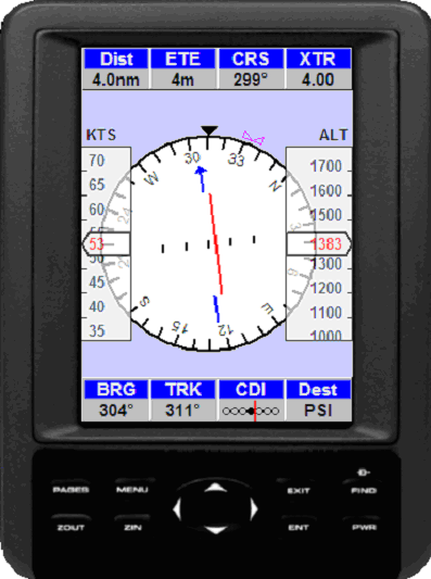
Aviation Page
The aviation page is used to aid in naviation.
The page consists of a status display, aircraft speed tape, aircraft altitude tape, a compass display, and a course deviation indicator (CDI).
When following a route or using the OBS feature the CDI indicates how far from the course line the aircraft is.
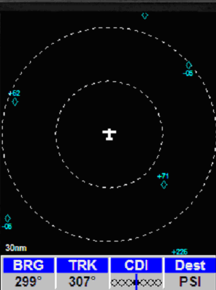
Traffic Page
This traffic page displays the relative horizontal positions of nearby aircraft traffic. The display is always oriented with the heading of your aircraft at the top.
Two range rings help in judging how far the traffic is from your aircraft. The radius of the outer range ring is shown in the lower left corner of this display. The range can be increased or decreased with the ZOUT and ZIN keys respectively.
Information Pages
Select any of the navaids on the map and you'll display detailed information about that item.
EZ-GPS Features
-
Map page provides crystal-clear moving map depicting geopolitical boundaries, airports, VORs. intersections and airways. Optionally displays roads (with route numbers), rivers and more
-
Aviation page displays "glass-cockpit style" navigation in any aircraft
-
Traffic page displays airborne targets - TCAS
-
Cursor mode lets you easily build, save and fly a flight plan
-
Compatible with any Flight Simulator flight plan
-
Couples to autopilot to provide near auto landing (runway and vertical approaches.
-
Tucks into small corner of your cockpit; requires only a small portion of your computer monitor
-
Install EZ-GPS into any FS aircraft with just a few mouse-clicks.
Requires:
- Microsoft Flight Simulator X/FS2004
- Windows XP/Vista/7
|