Fly the entire state - BORDER to BORDER of Rhode Island in photoreal detail.
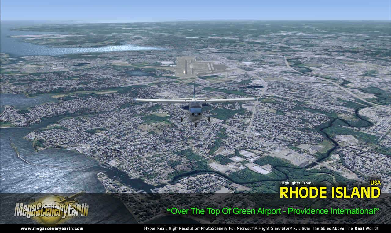
Rhode Island is 1,545 square miles in size and has 11 airports. You'll see everything that you see in Rhode Island in real life in the scenery.
Rhode Island is a small state so we are offering it at a very fair low price.
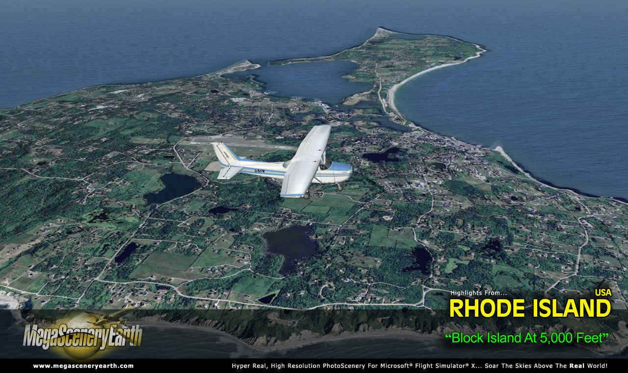
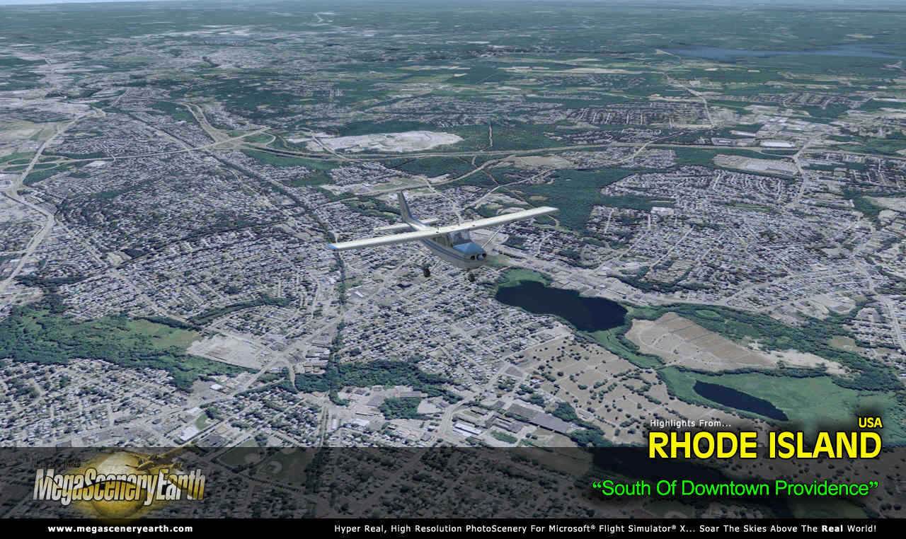
Imagery is clear and crisp 50 cm source throughout for a stunningly realistic scenery.
As an added bonus, we now provide all the VFR and IFR charts in digital PDF format to enable you to get the most out of your scenery. This includes TACs and Sectionals, IFR enroute charts and 67 page book of Instrument Approach plates, Airport Diagrams, SIDs and STARs. The charts are downloadable along with your scenery files.
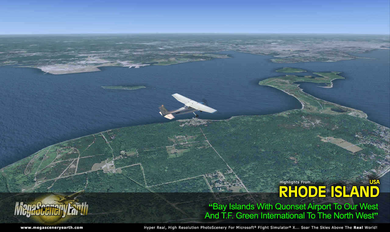
Some of the cities and landmarks you'll get to enjoy as you explore Rhode Island include:
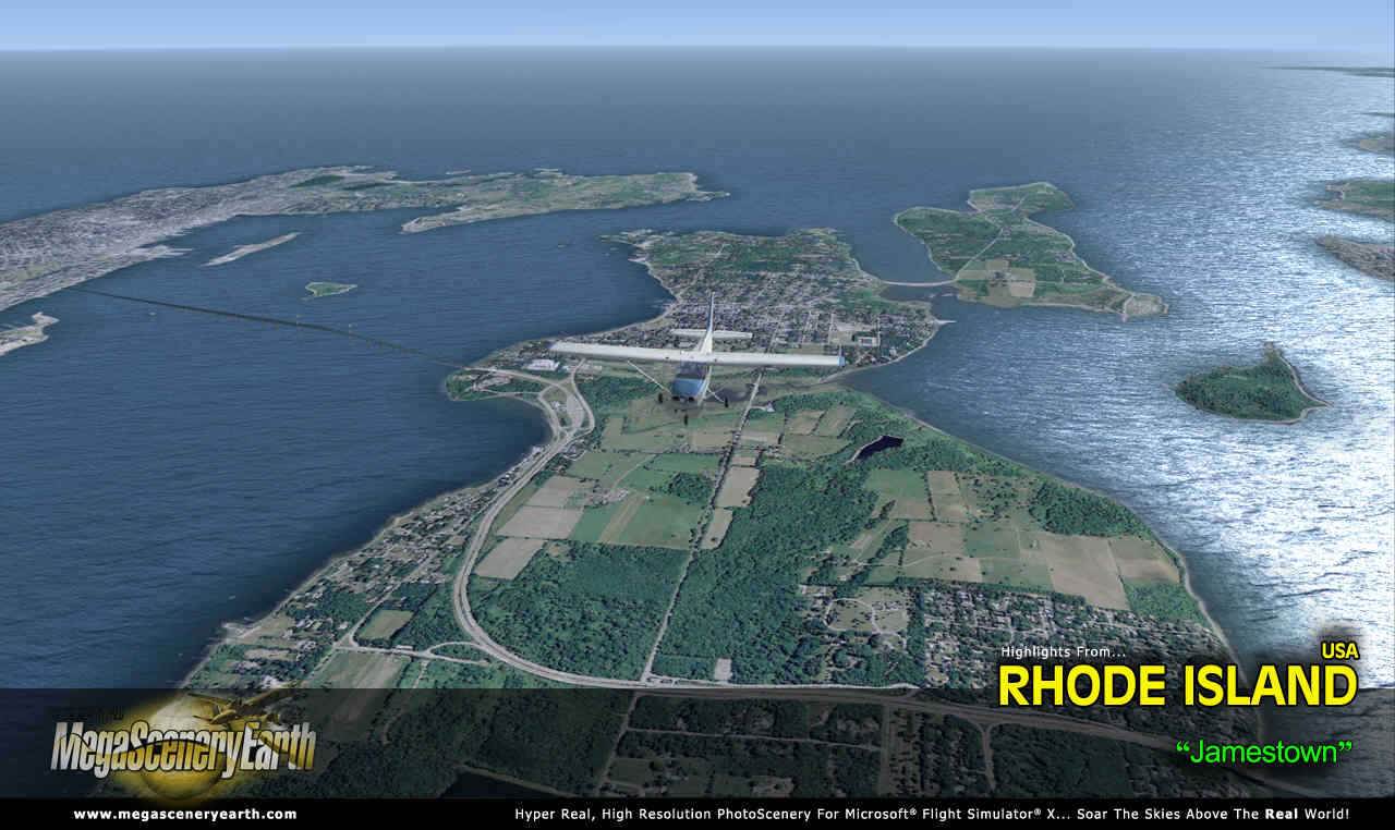
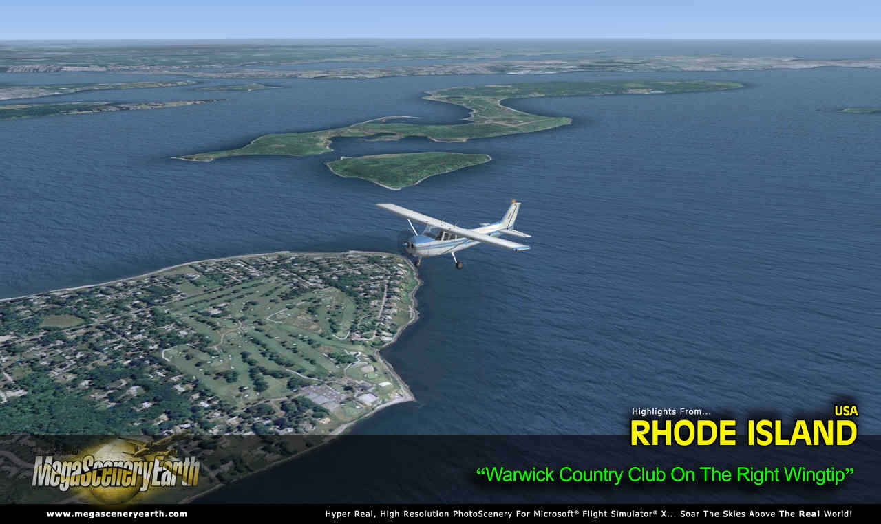
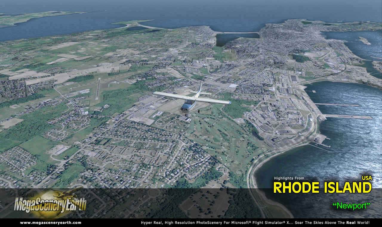
Cities: Providence, Warwick, Cranston, Pawtucket, Woonsocket, Newport
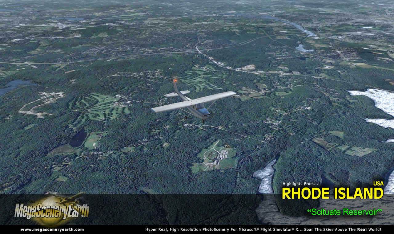
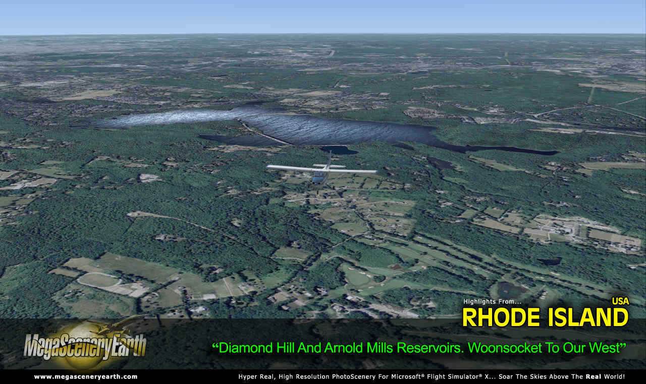
Lakes: Scituate Reservoir, Worden Pond, Diamond Hill, Woonsocket Reservoir, Pascoag
Mountains & Hills: Jerimoth Hill (840 ft), Durfee Hill, Whiles Hills, Pine Hill
State Parks & National Forests: Burlingame, Goddard Memorial, Lincoln Woods, Snake Den
Major Rivers: Ten Mile, Providence, Pawtuxet, Blackstone, Pawcatuck
Discover the rest of it all for yourself! There's a LOT to see!
This is a download edition with the option to order a DVD. (1 discs).
When you order the DVD disk set you will still receive download links. If you do not wish to download, simply wait for your DVD to arrive in the mail.
THIS TITLE COMES WITH A FULL SET OF FAA AERONAUTICAL CHARTS FOR RHODE ISLAND IN PDF FORMAT.
Here's what you get (download links for charts will be given to you with your product download):
SECTIONAL CHARTS: New York
TERMINAL AREA CHARTS: Boston
LOW ALTITUDE IFR CHARTS: ELUS-33/ELUS-34
HIGH ALTITUDE IFR CHARTS: EHUS-11/EHUS-12
AIRPORT FACILITY DIRECTORY: A 6 PAGE PDF BOOKLET
APPROACH CHARTS & AIRPORT DIAGRAMS: A 67 PAGE PDF BOOKLET
An important thing to note with MegaScenery is that with MegaScenery, framerates are faster than the default artificial scenery. So not only do you get the ultimate in realism but you also get a smoother flying experience.
If you don't like to download, choose the DVD MASTER Option and we'll master a DVD with the software and mail it to you anywhere in the world for just $4.00 - all inclusive. Please note that this is a large download at 871 Mb. If you are unsure of the stability of your connection we highly recommend you order the DVD Master Option and you'll receive this area on DVD.
NOTE: You will download a small zip file that has a html file with links to the files that you will download.
You can find out more about MegaSceneryEarth Here
SYSTEM REQUIREMENTS
-
Microsoft Flight Simulator X, FSX: STEAM EDITION, Prepar3D Version 1, Prepar3D Version 2 or Prepar3D Version 3
-
Any system capable of running FSX
-
3.2 Gb Hard Drive Space
DOWNLOAD SIZE
-
871 Mb
Download Time
50 MBps About 2 Mins
20 MBps About 6 Mins
10 MBps About 12 Mins
5 MBps About 24 Mins
Download Time About 10 to 30 minutes With Broadband.
-
NOTE: You will download a small zip file that has a html file with links to the files that you will download.
-
If you're not confident with the large download you can order the DVD Master for just $4.00. (1 DVDs).
|