Fly the entire state - BORDER to BORDER - of Maryland in photoreal detail.
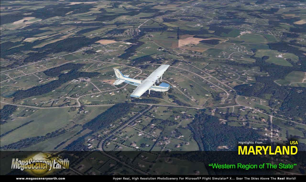
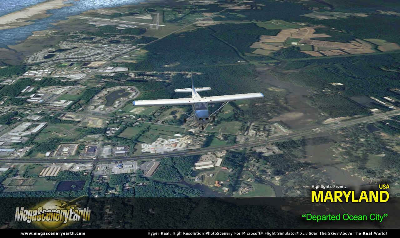
Maryland is 12,407 square miles in size and has 185 airports. You'll see everything that you see in Maryland in real life in the scenery.
This scenery also includes portions of Washington DC north of the Potomac.
As an added bonus, we now provide all the VFR and IFR charts in digital PDF format to enable you to get the most out of your scenery. This includes TACs and Sectionals, IFR enroute charts and 193 page book of Instrument Approach plates, Airport Diagrams, SIDs and STARs. The charts are downloadable along with your scenery files.
Some of the cities and landmarks you'll get to enjoy as you explore Maryland include:
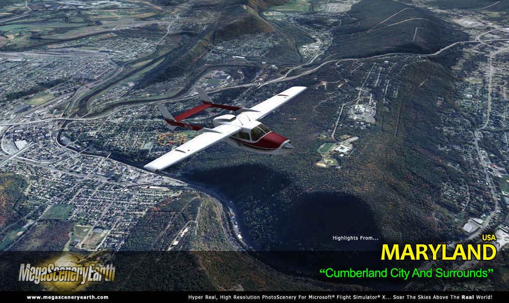
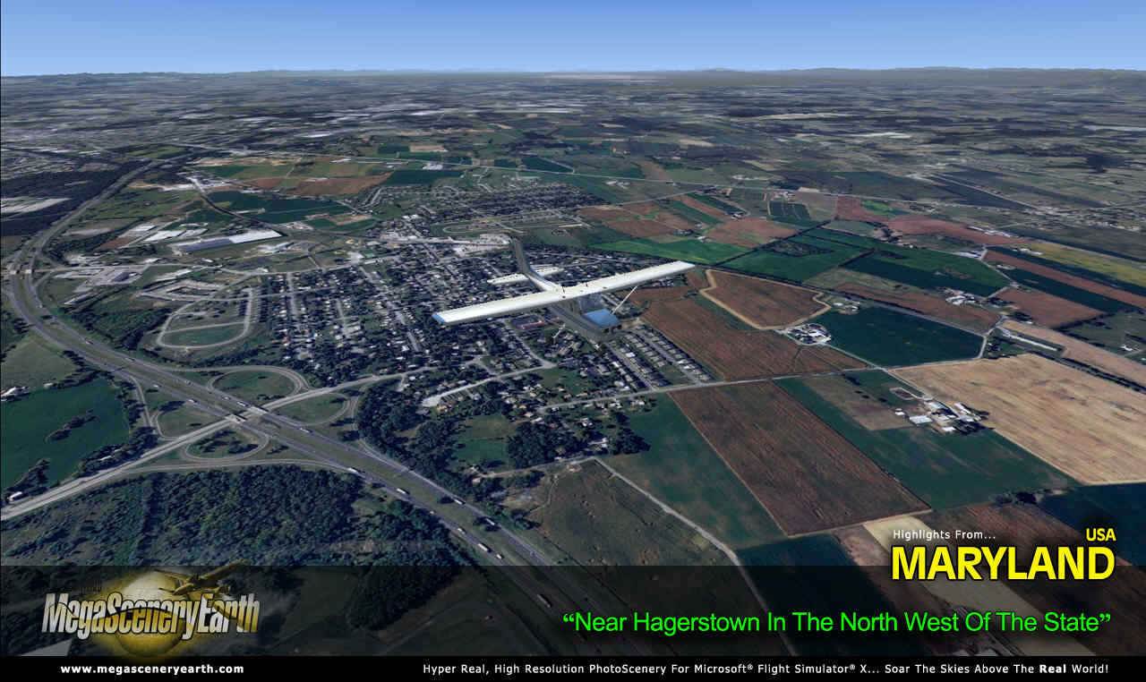
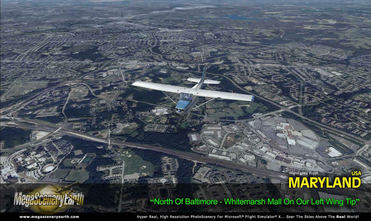
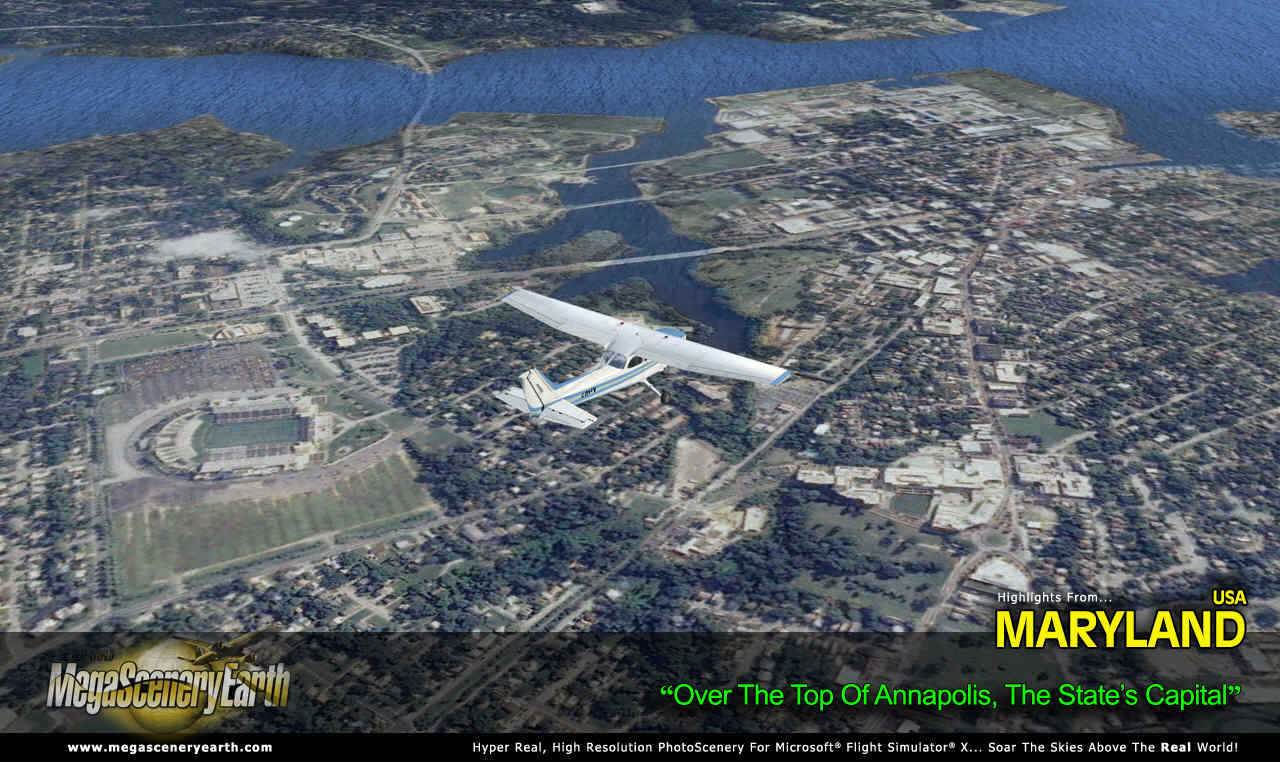
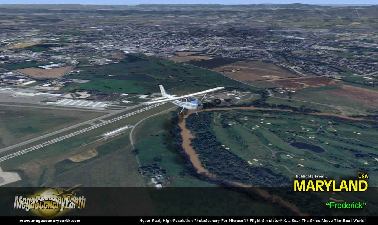
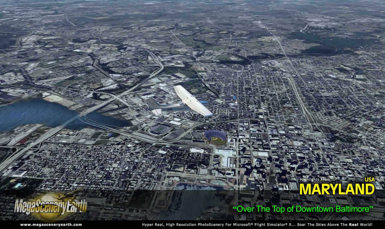
Cities: Baltimore, Washington DC, Annapolis, Frederick, Hagerstown, Cumberland
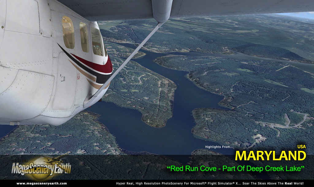
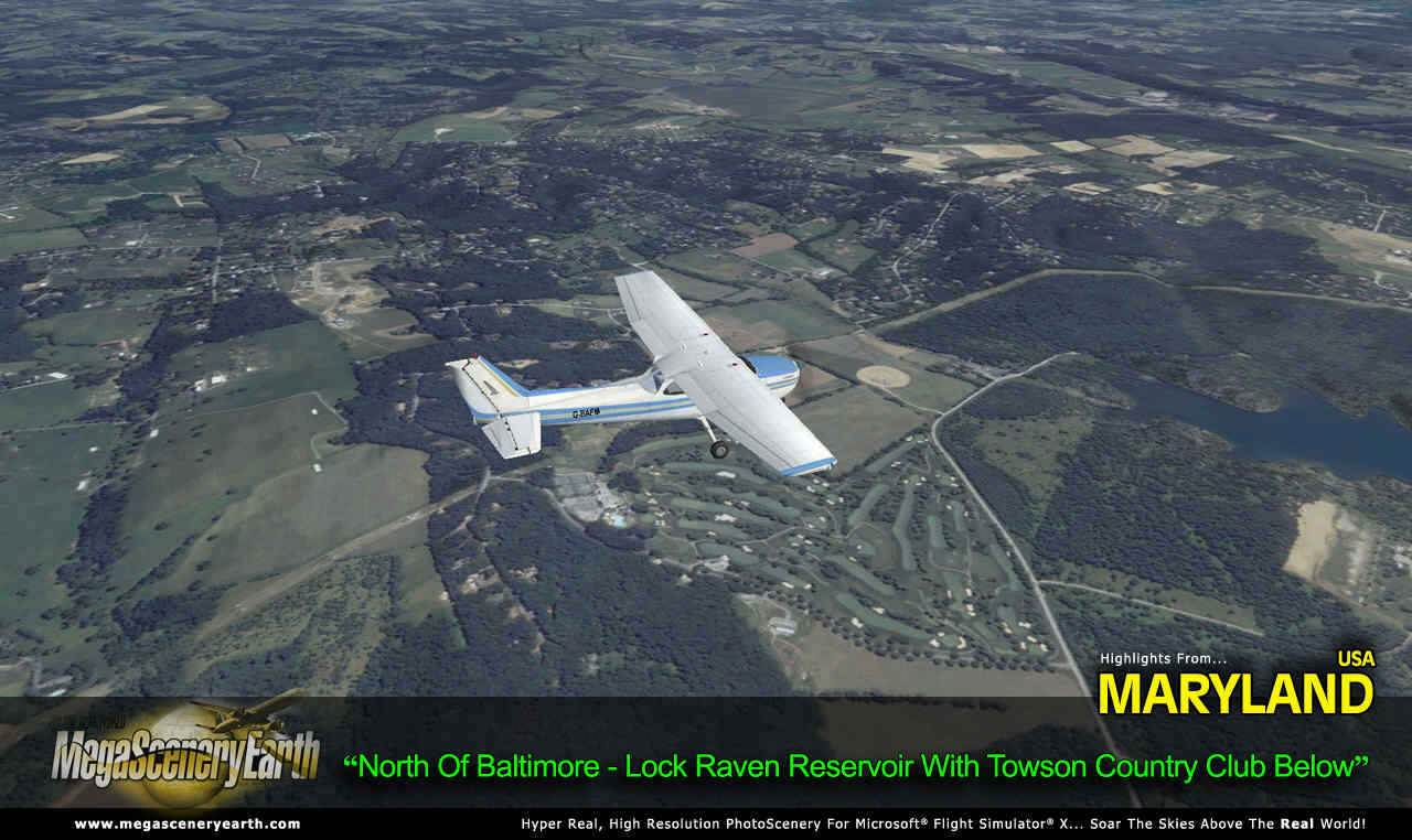
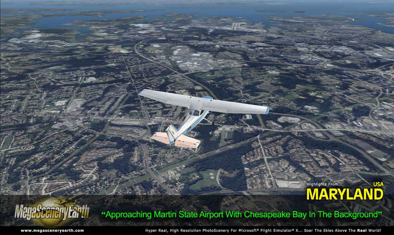
Lakes & Waterbodies: Chesapeake Bay, Deep Creek Lake, Liberty Reservoir, Loch Raven, Prettyboy, Jennings Randolph
Mountains: Appalachians, Hove Crest (3,369 ft), Roth Rock, Allegheny heights, Eagle Rock, Marsh Hill and a total of 50 peaks above 2,500 feet.
State Parks & National Forests: Frederick Municipal Forest, Cunningham Falls, South Mountain, Blackwater.
Major Rivers: Potomac, Patapsco, Patuxent
This is a download edition with the option to order a DVD disk set (2 discs).
When you order the DVD disk set you will still receive download links. If you do not wish to download, simply wait for your DVD's to arrive in the mail.
THIS TITLE COMES WITH A FULL SET OF FAA AERONAUTICAL CHARTS FOR Maryland IN PDF FORMAT.
Here's what you get (download links for charts will be given to you with your product download):
SECTIONAL CHARTS: Washington
TERMINAL AREA CHART: Baltimore-Washington
LOW ALTITUDE IFR CHARTS: ELUS-29/ELUS-30, ELUS-33/ELUS-34
HIGH ALTITUDE IFR CHARTS: EHUS-9/EHUS-10
APPROACH CHARTS & AIRPORT DIAGRAMS: A 193 PAGE PDF BOOKLET
An important thing to note with MegaScenery is that with MegaScenery, framerates are faster than the default artificial scenery. So not only do you get the ultimate in realism but you also get a smoother flying experience.
If you don't like to download, choose the DVD MASTER Option and we'll master a 2 disc DVD set with the software and mail it to you anywhere in the world for just $5.00 - all inclusive. Please note that this is a large download at 6.3 Gb. If you are unsure of the stability of your connection we highly recommend you order the DVD Master Option and you'll receive this area on 2 DVDs.
NOTE: You will download a small zip file that has a html file with links to the 7 files that you will download.
You can find out more about MegaSceneryEarth Here
SYSTEM REQUIREMENTS
-
Microsoft Flight Simulator X, FSX: STEAM EDITION, Prepar3D Version 1, Prepar3D Version 2 or Prepar3D Version 3
-
Any system capable of running FSX
-
6.3 Gb Hard Drive Space
DOWNLOAD SIZE
-
6.3 Gb
Download Time
50 MBps About 20 Mins
20 MBps About 45 Mins
10 MBps About 90 Mins
5 MBps About 3 Hours
NOTE: You will download a small zip file that has a html file with links to the 7 files that you will download.
-
You can install and fly the first while others are downloading. Each file takes around 30 minutes to download with a broadband connection.
-
If you're not confident with the large download you can order the DVD Master for just $5.00. (2 DVDs).
|