|
PC Aviator Inc
::
Flight Sim X Addons
::
Scenery
::
MegaScenery
::
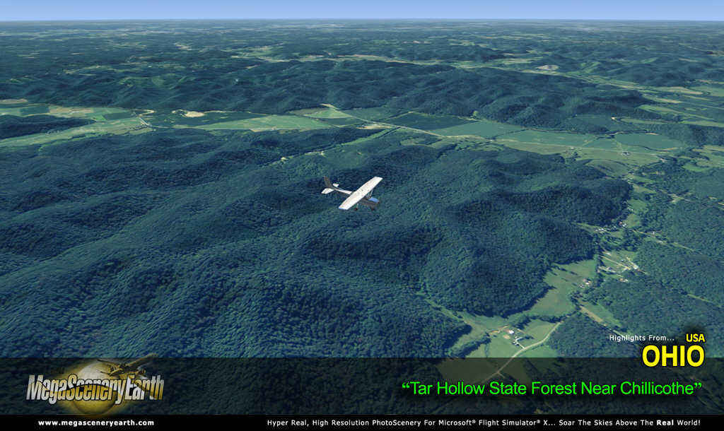
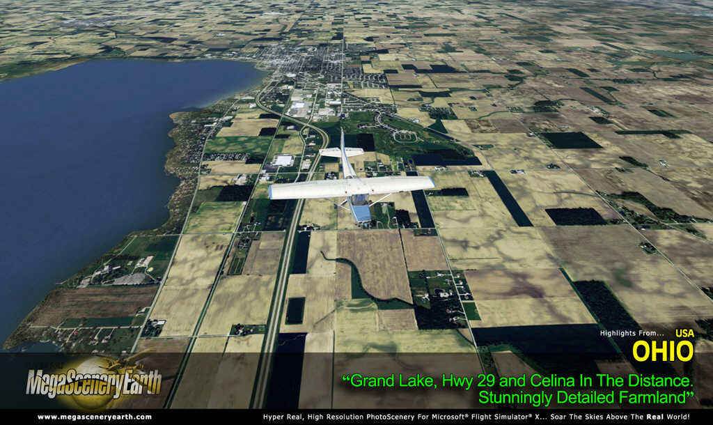
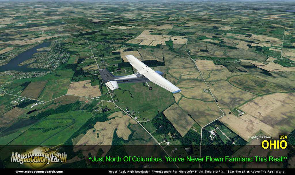
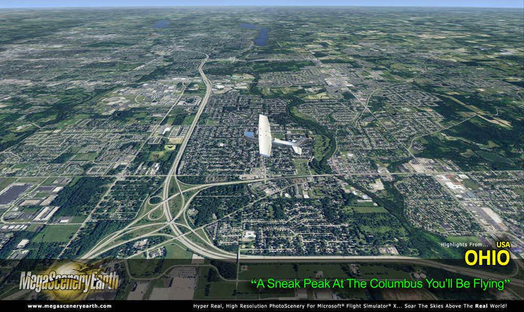
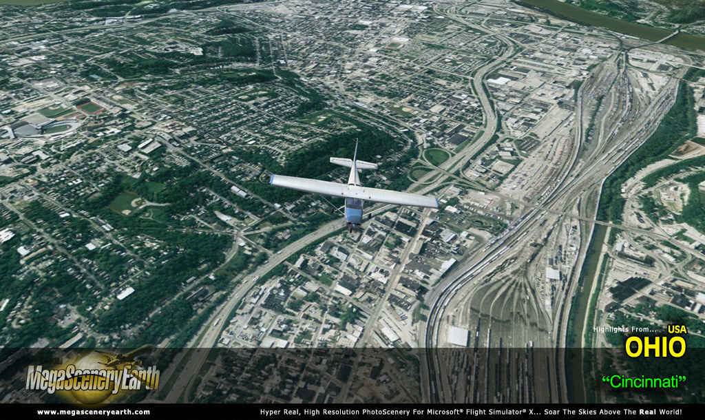
MegaSceneryEarth 2.0 - Ohio Complete State
|
MegaSceneryEarth 2.0 - Ohio Complete State
Search
Categories
- DEALS & DISCOUNTS!
- MS Flight Simulator 2020
- => NEW ADDITIONS
- => CLEARANCE ITEMS
- Flight Sim X Addons
- Prepar3D Addons
- FSX:Steam Addons
- X-Plane Addons
- Flight Sim 2004 Addons
- Other Flight Sim Addons
- MegaSceneryEarth
- Flight Simulators
- Air Traffic Control
- System Utility
- Flight Training Software
- PC Aviator Brand Titles
-
Boxed Software
- Flight Sim X Addons
- Flight Sim 2004 Addons
- Flight Simulators
- X-Plane Addons
- Prepar3D Addons
- Flight Training Software
- System Utility
- Flight Controls & Home Cockpit
- Books & Magazines
- Aviation Videos
OTHER
Your cart
Your account
Bestsellers
- MegaSceneryEarth 3 - California V3 (Southern)
- MegaSceneryEarth 3 - California V3 (Northern)
- MegaSceneryEarth 3 - Colorado (2017)
- MegaSceneryEarth 3 - Nevada (2017)
- MegaSceneryEarth 3 - Wyoming (2017)
- MegaSceneryEarth 3 - 60 cm Ultra Res Grand Canyon
- MegaSceneryEarth 3 - Georgia (2017)
- MegaSceneryEarth 3 - Maryland (2017)
- MegaSceneryEarth 3 - UltraRes Cities: San Francisco
- MegaSceneryEarth 3 - Louisiana
-->
Users online:
329
shopping
,
1
checking out
Powered by X-Cart php shopping cart
Copyright © 1999-2024 PC Aviator Inc