Fly the entire state - BORDER to BORDER - of Illinois in photoreal detail.
Illinois is 57,914 square miles in size and has 863 airports. You'll see everything that you see in Illinois in real life in the scenery.
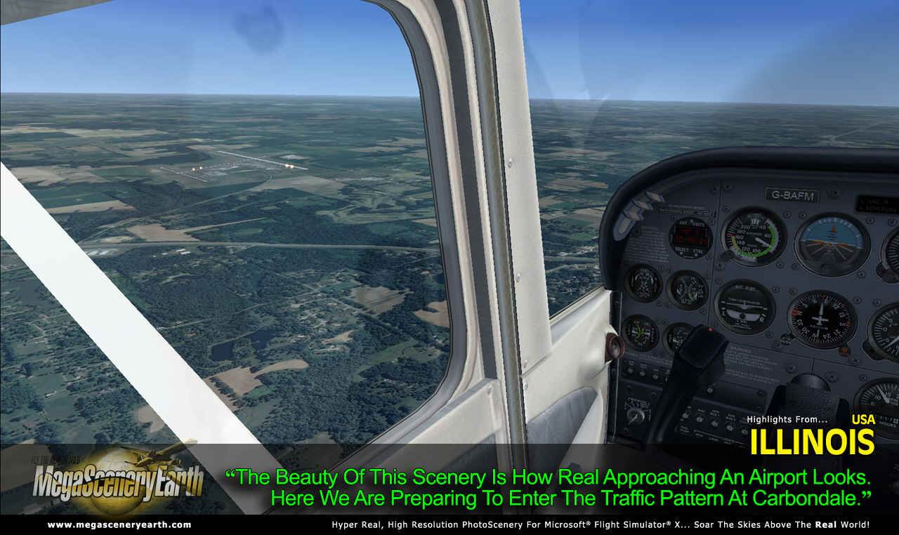
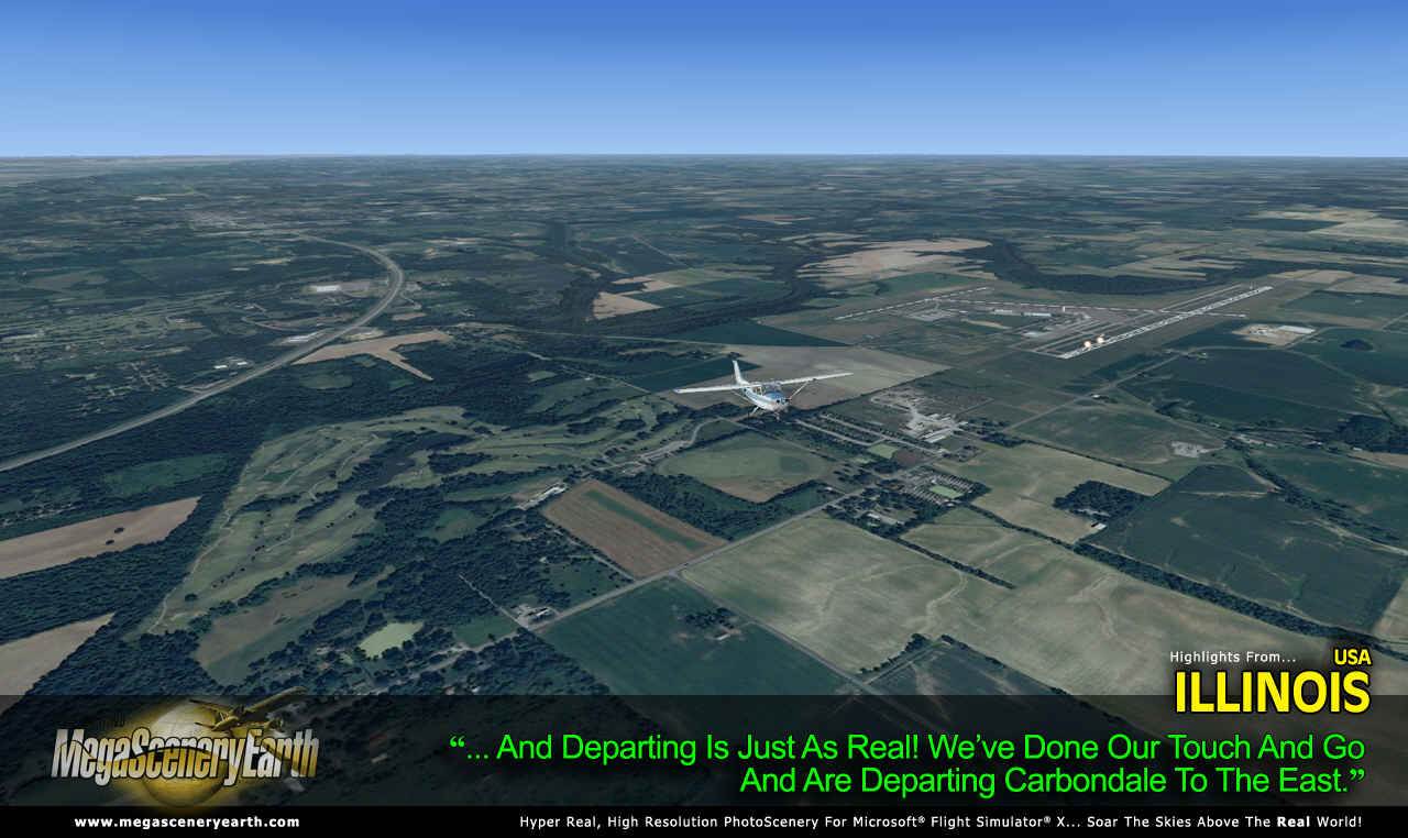
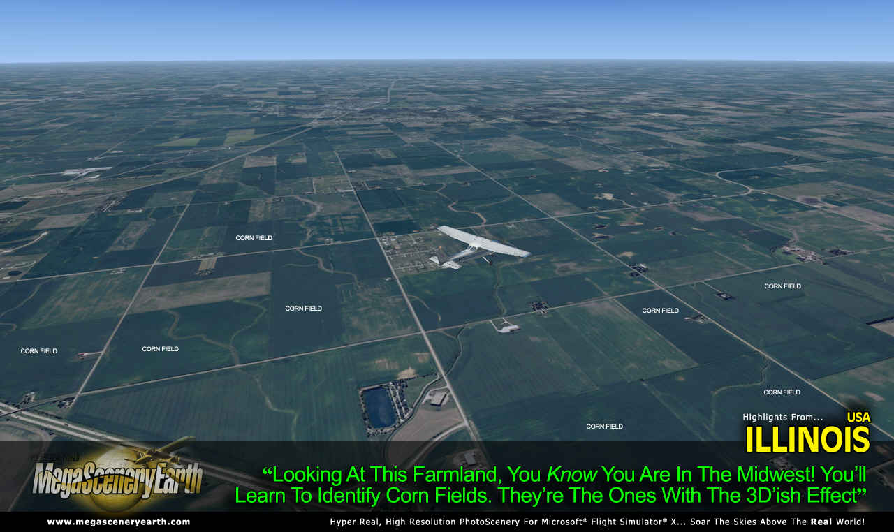
Imagery is clear and crisp 50 cm source throughout for a stunningly realistic scenery.
As an added bonus, we now provide all the VFR and IFR charts in digital PDF format to enable you to get the most out of your scenery. This includes TACs and Sectionals, IFR enroute charts and 549 page book of Instrument Approach plates, Airport Diagrams, SIDs and STARs. The charts are downloadable along with your scenery files.
Some of the cities and landmarks you'll get to enjoy as you explore Illinois include:
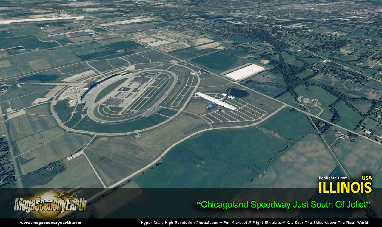
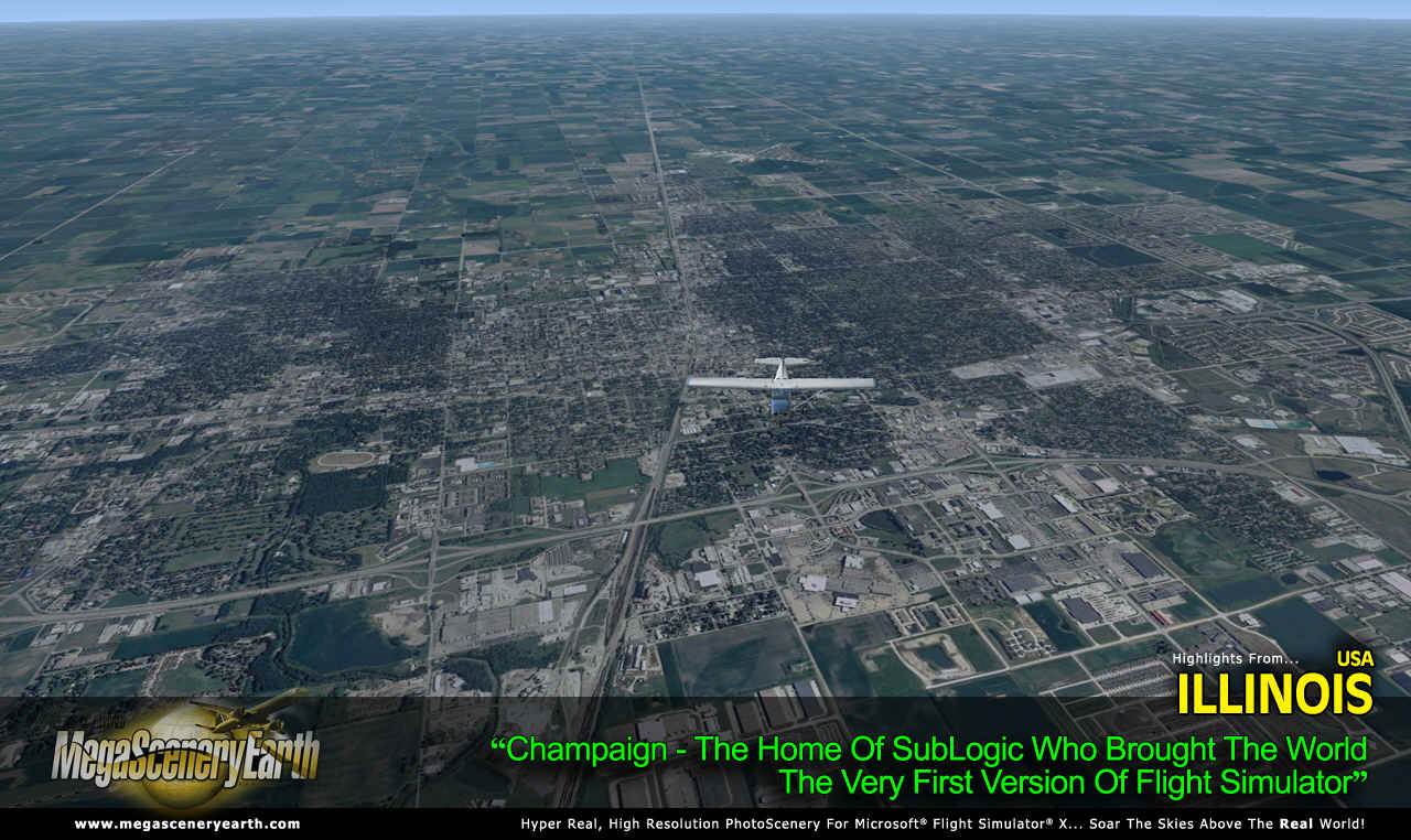
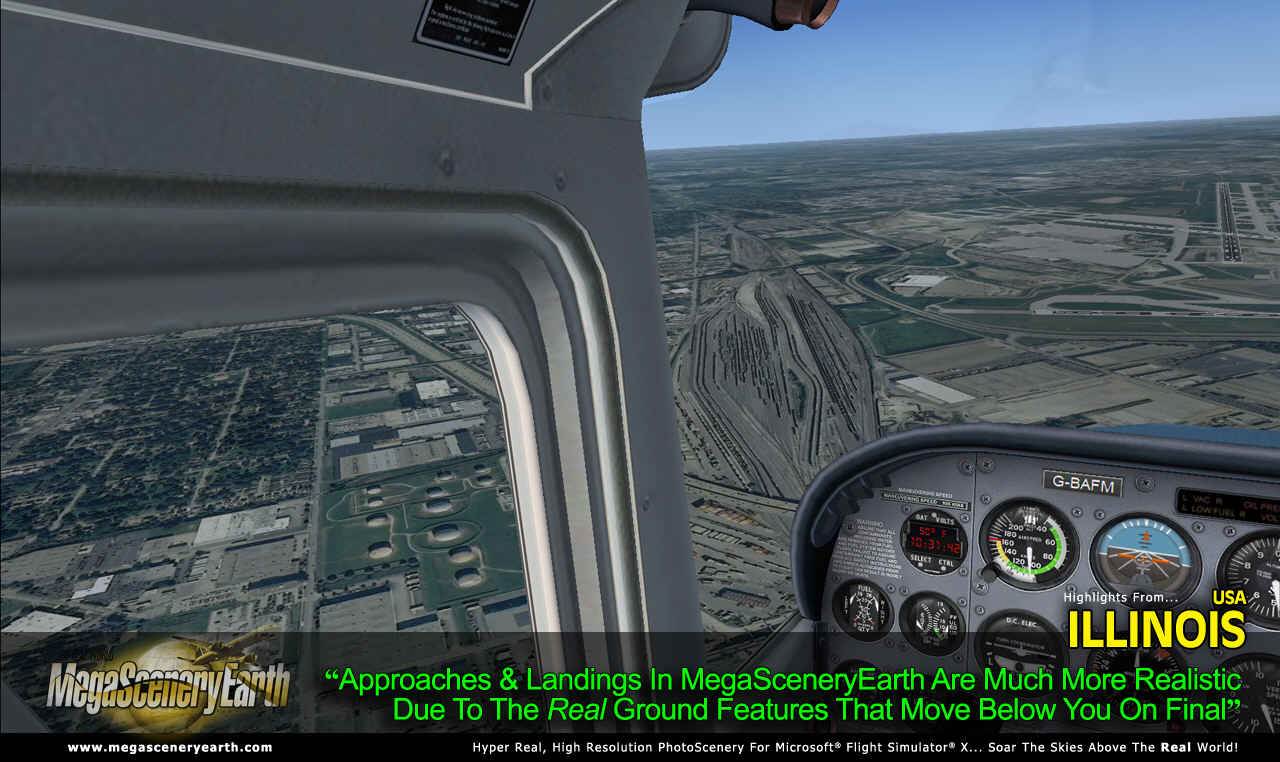
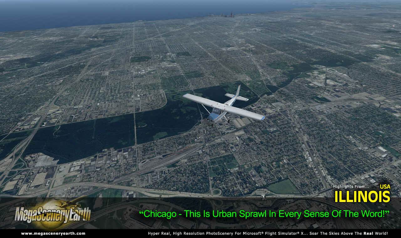
Cities: Chicago (largest), Aurora, Rockford, Joliet, Naperville, Springfield (capital), Peoria, Elgin, Waukegan, Cicero
Lakes: Michigan, Carlyle Reservoir, Rend, Shelbyville, Peoria
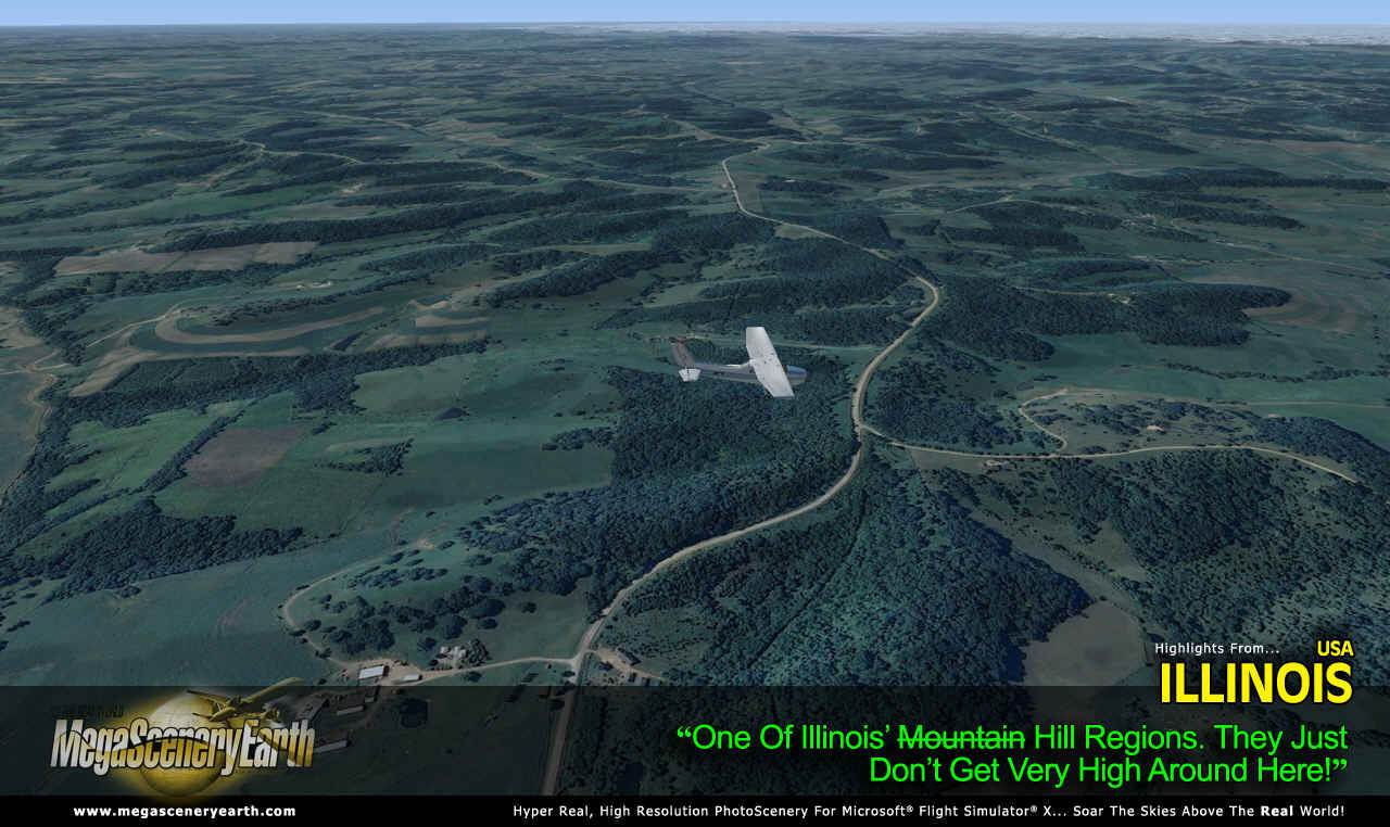
Mountains & Hills: Charles Mound (1,227 ft), Benton Mound, Scales Mound, Squirrel Grove, Hudson Mound, Williams Hill, Horseshoe Mound and a total of 50 peaks above 750 feet.
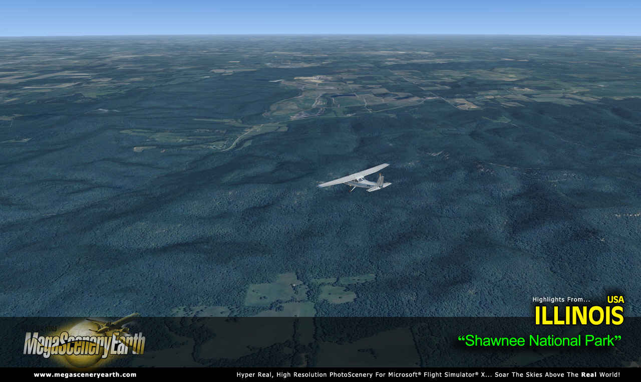
State Parks & National Forests: Shawnee National Forest, Hennepin, Rend Lake, Carlyle Lake, South Shore - 140 in total
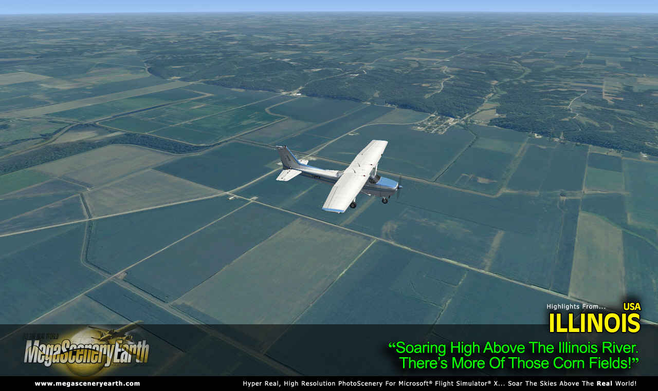
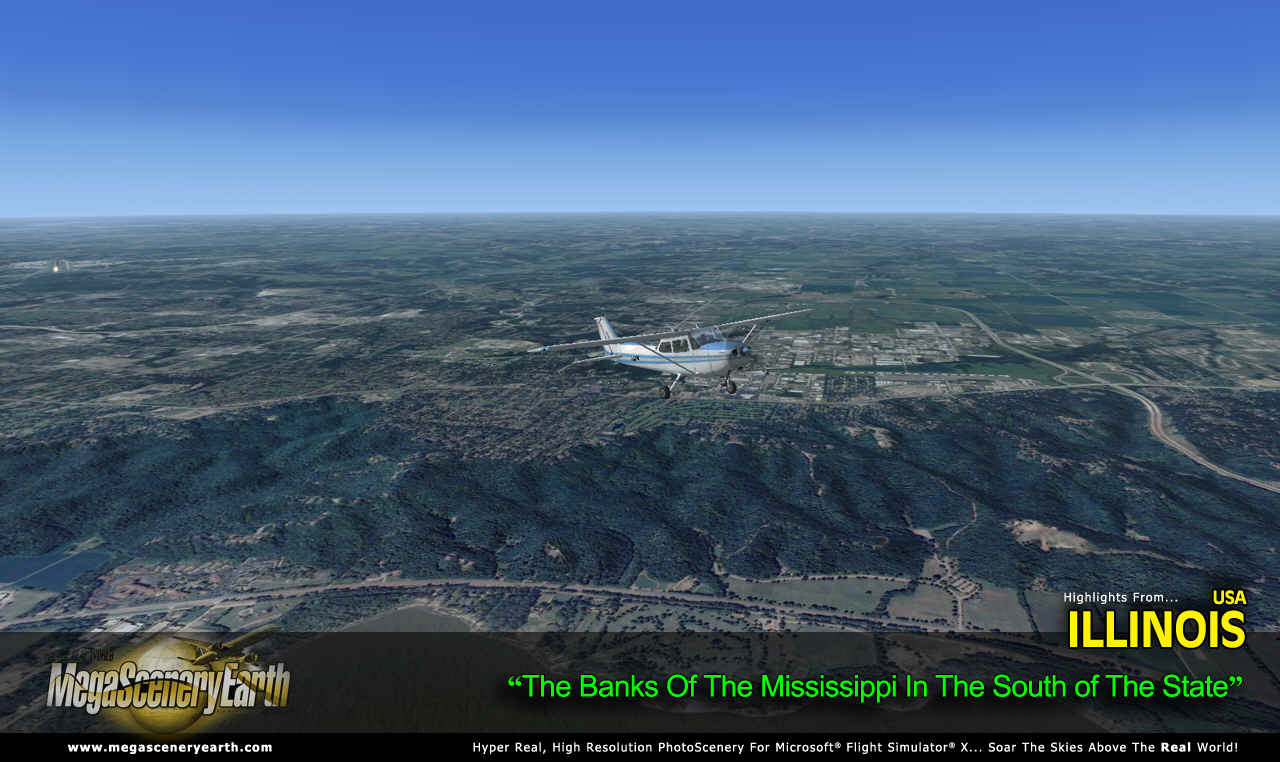
Major Rivers: Mississippi, Illinois, Wabash, Ohio, Kaskaskia, Big Muddy
Discover the rest of it all for yourself! There's a LOT to see!
This is a download edition with the option to order a DVD disk set (4 discs).
When you order the DVD disk set you will still receive download links. If you do not wish to download, simply wait for your DVD to arrive in the mail.
THIS TITLE COMES WITH A FULL SET OF FAA AERONAUTICAL CHARTS FOR ILLINOIS IN PDF FORMAT.
Here's what you get (download links for charts will be given to you with your product download):
SECTIONAL CHARTS: Chicago and St Louis
TERMINAL AREA CHARTS: Chicago
LOW ALTITUDE IFR CHARTS: ELUS-15/ELUS-16 and ELUS-27/ELUSL-28
HIGH ALTITUDE IFR CHARTS: EHUS-5/EHUS-6
AIRPORT FACILITY DIRECTORY: A FULLY INDEXED 59 PAGE PDF BOOKLET
APPROACH CHARTS & AIRPORT DIAGRAMS: A FULLY INDEXED 549 PAGE PDF BOOKLET
An important thing to note with MegaScenery is that with MegaScenery, framerates are faster than the default artificial scenery. So not only do you get the ultimate in realism but you also get a smoother flying experience.
If you don't like to download, choose the DVD MASTER Option and we'll master a 5 disc DVD set with the software and mail it to you anywhere in the world for just $10.00 - all inclusive. Please note that this is a large download at 15.7 Gb. If you are unsure of the stability of your connection we highly recommend you order the DVD Master Option and you'll receive this area on 5 DVDs.
NOTE: You will download a small zip file that has a html file with links to the 16 files that you will download.
You can find out more about MegaSceneryEarth Here
SYSTEM REQUIREMENTS
-
Microsoft Flight Simulator X, FSX: STEAM EDITION, Prepar3D Version 1, Prepar3D Version 2 or Prepar3D Version 3
-
Any system capable of running FSX
-
15.7 Gb Hard Drive Space
DOWNLOAD SIZE
-
15.7 Gb -
Download Time
50 MBps About 45 Mins
20 MBps About 2 Hours
10 MBps About 3.5 Hours
5 MBps About 7 Hours
-
NOTE: You will download a small zip file that has a html file with links to the 16 files that you will download.
-
You can install and fly the first while others are downloading. Each file takes around 10 to 30 minutes to download with a broadband connection.
-
If you're not confident with the large download you can order the DVD Master for just $10. (5 DVDs).
|