Fly the entire state - BORDER to BORDER - of Montana in photoreal detail.
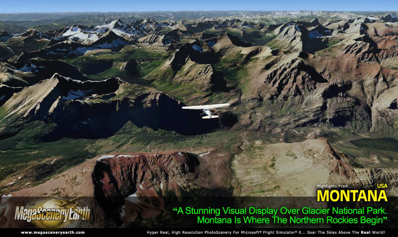
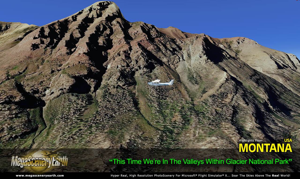
Montana offers you a truly visually spectacular flying experience with the Rocky Mountains now turning Northern in the west of the state. These are recreated with very high quality crisp clear imagery. If you love mountain flying combined with high plains flying which you'll find in the east of the state, Montana is a state you must add to your scenery collection.
Montana is the third largest state in the continental USA at over 147,042 square miles in size and has 247 airports. You'll see everything that you see in Montana in real life in the scenery.
This is a massive title at over 62.7 Gb. It is priced slightly higher than most other titles due to higher bandwidth costs and area offered.
Imagery is clear and crisp 50 cm source throughout for a stunningly realistic scenery.
As an added bonus, we now provide all the VFR and IFR charts in digital PDF format to enable you to get the most out of your scenery. This includes two Sectionals, two IFR enroute charts, and a 211 page book of Instrument Approach plates, Airport Diagrams, SIDs and STARs, and an Airport Facility Directory. The charts are downloadable along with your scenery files.
Some of the cities and landmarks you'll get to enjoy as you explore Montana include:
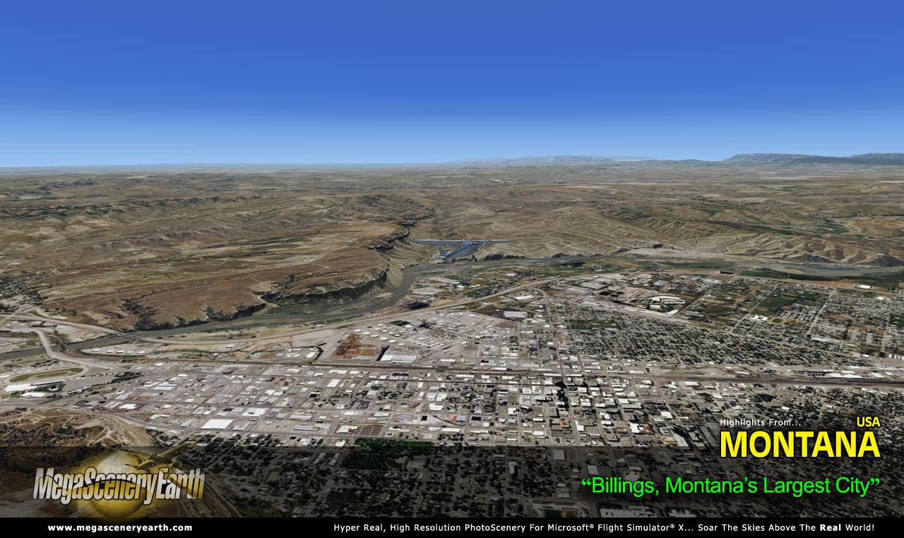
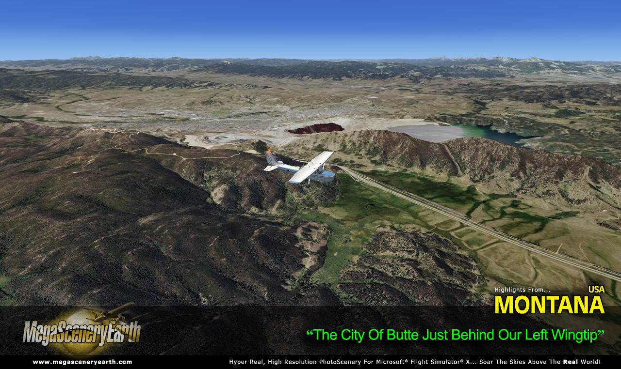
Cities: Billings, Missoula, Great Falls, Butte, Bozeman, Kalispell, Havre
Lakes & Water Bodies: Flathead Lake, Fort Peck Lake,
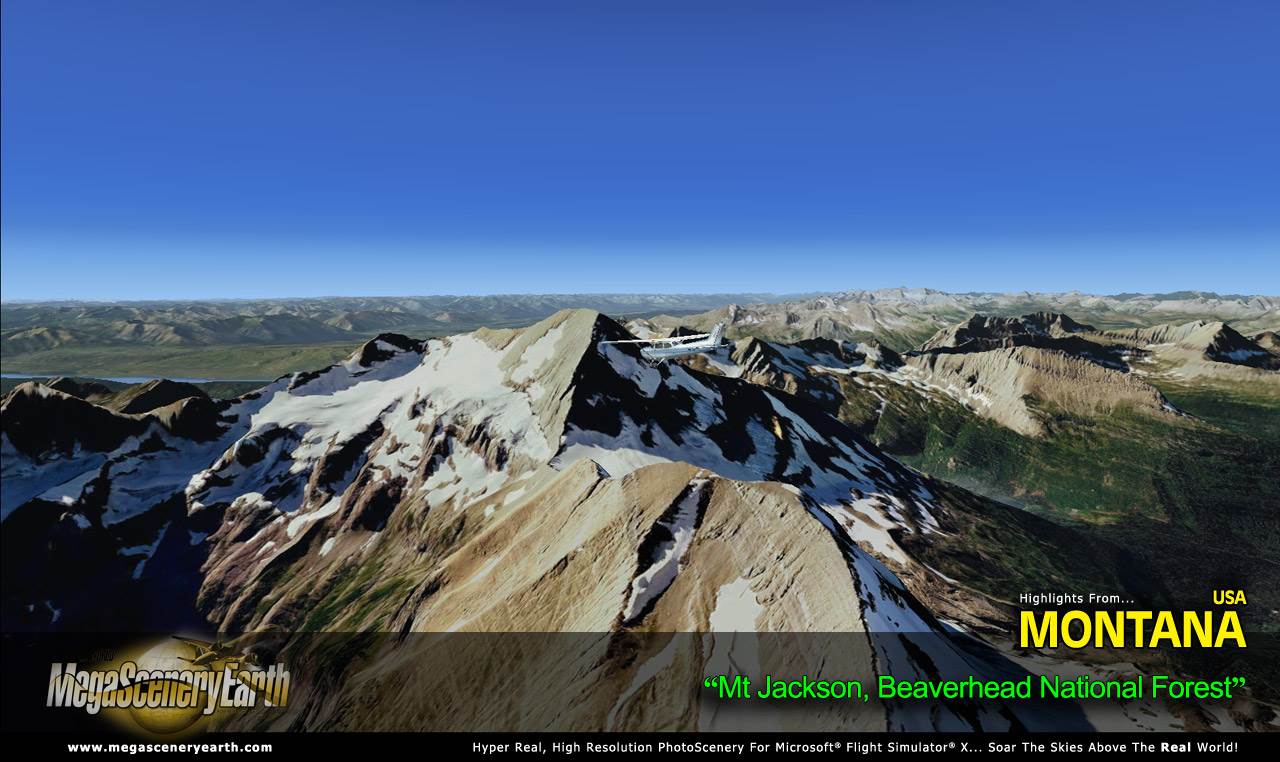
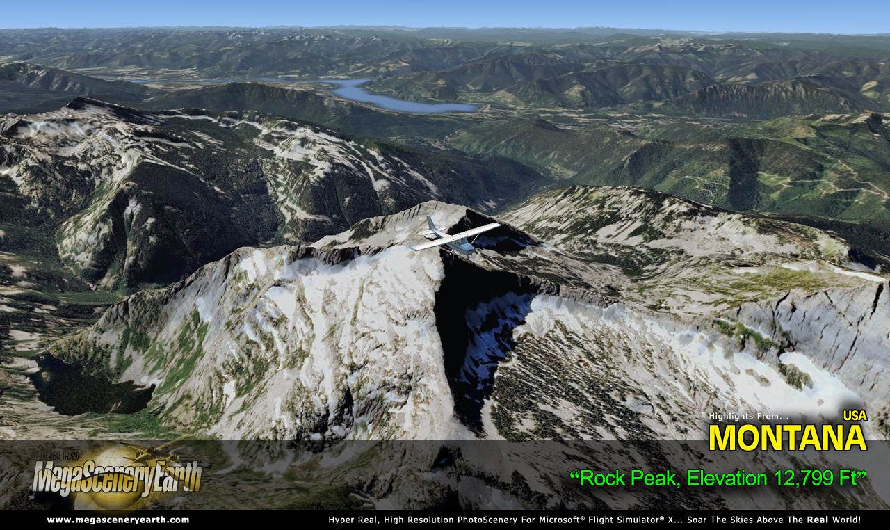
Mountains & Hills: Beartooth Mountains, (12,694 ft), Granite Peak, Mount Wood, Castle Mountain, Whitetail Peak, Silver Run Peak and a total of 50 peaks above 11,000 ft.
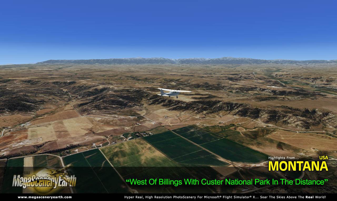
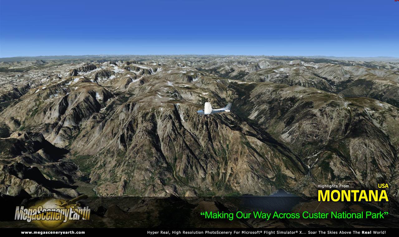
State Parks & National Forests: Beaverhead National Forest, Bitterroot National Forest, Custer National Forest, Deerlodge National Forest, Flathead National Forest, Gallatin National Forest, Helena National Forest, Kootenai National Forest, Lewis and Clark National Forest, Lolo National Forest
Major Rivers: Clark Fort River, Missouri River, Yellowstone River
We can't take enough screenshots to showcase the vastness and variety of terrain this state offers. We've just taken a few. Discover the rest of it all for yourself! You'll be stunned by Montana!
This is a download edition with the option to order a DVD disk set (15 discs).
When you order the DVD disk set you will still receive download links. If you do not wish to download, simply wait for your DVDs to arrive in the mail.
THIS TITLE COMES WITH A FULL SET OF FAA AERONAUTICAL CHARTS FOR Montana IN PDF FORMAT.
Here's what you get (download links for charts will be given to you with your product download):
SECTIONAL CHARTS: Billings, Great Falls
LOW ALTITUDE IFR CHARTS: ELUS-13/ELUS-14
HIGH ALTITUDE IFR CHARTS: EHUS-01/EHUS-02
AIRPORT FACILITY DIRECTORY: A FULLY INDEXED 47 PAGE PDF BOOKLET
APPROACH CHARTS & AIRPORT DIAGRAMS: A FULLY INDEXED 211 PAGE PDF BOOKLET
NOTE: The screenshots don't even scratch the surface of the scope and expanse of this scenery. Discover it all yourself when you purchase this scenery.
An important thing to note with MegaScenery is that with MegaScenery, framerates are faster than the default artificial scenery. So not only do you get the ultimate in realism but you also get a smoother flying experience.
If you don't like to download, choose the DVD MASTER Option and we'll master a 15 disc DVD set with the software and mail it to you anywhere in the world for just $30.00 - all inclusive. Please note that this is a large download at 62.7 Gb. If you are unsure of the stability of your connection we highly recommend you order the DVD Master Option and you'll receive this area on 15 DVDs.
NOTE: You will download a small zip file that has a html file with links to the 61 files that you will download.
You can find out more about MegaSceneryEarth Here
SYSTEM REQUIREMENTS
-
Microsoft Flight Simulator X, FSX: STEAM EDITION, Prepar3D Version 1, Prepar3D Version 2 or Prepar3D Version 3
-
Any system capable of running FSX
-
62.7 Gb Hard Drive Space
DOWNLOAD SIZE
-
62.7 Gb -
Download Time
50 MBps About 3 Hrs
20 MBps About 7 Hours
10 MBps About 14 Hours
5 MBps About 28 Hours
-
NOTE: You will download a small zip file that has a html file with links to the 61 files that you will download.
-
You can install and fly the first while others are downloading. Each file takes around 10 to 30 minutes to download with a broadband connection.
-
If you're not confident with the large download you can order the DVD Master for just $30. (15 DVDs).
|