2 Popular And Adjacent Ultra Res Cities In The One Title!
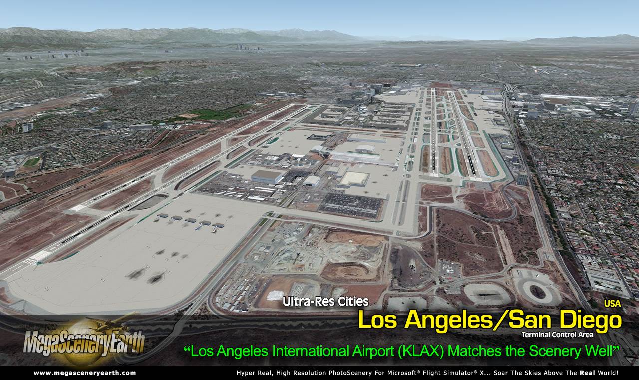
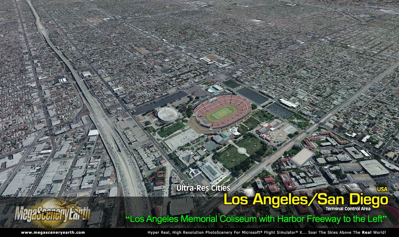
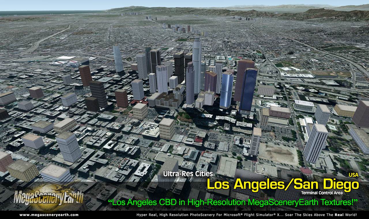
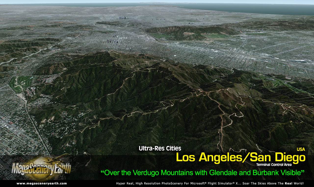
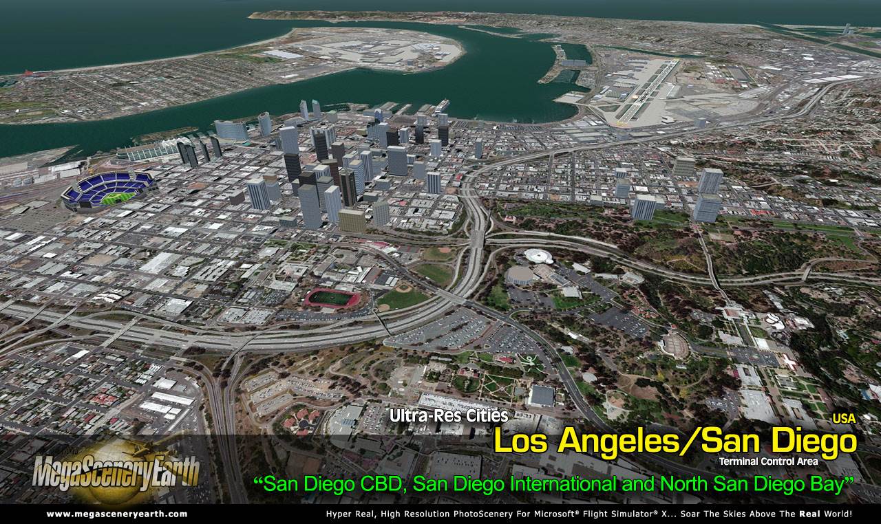
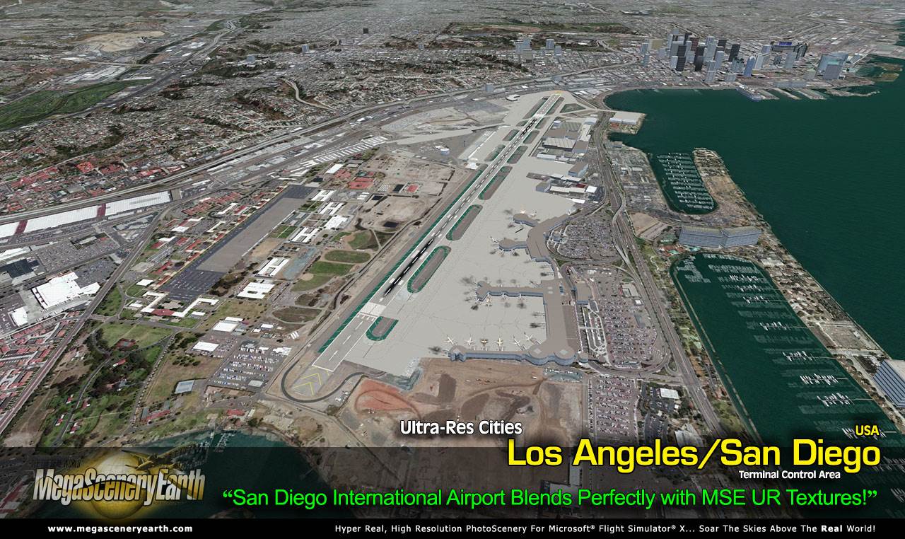
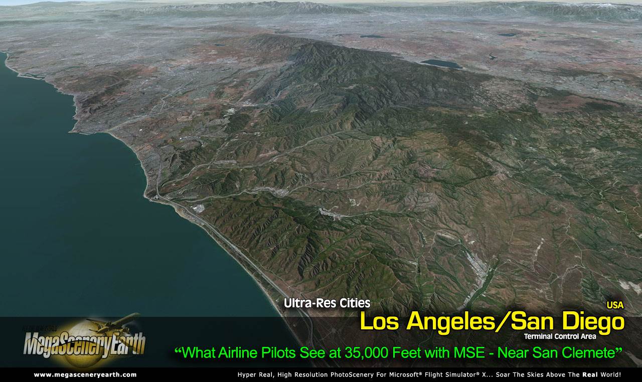
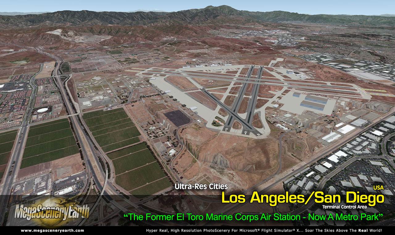
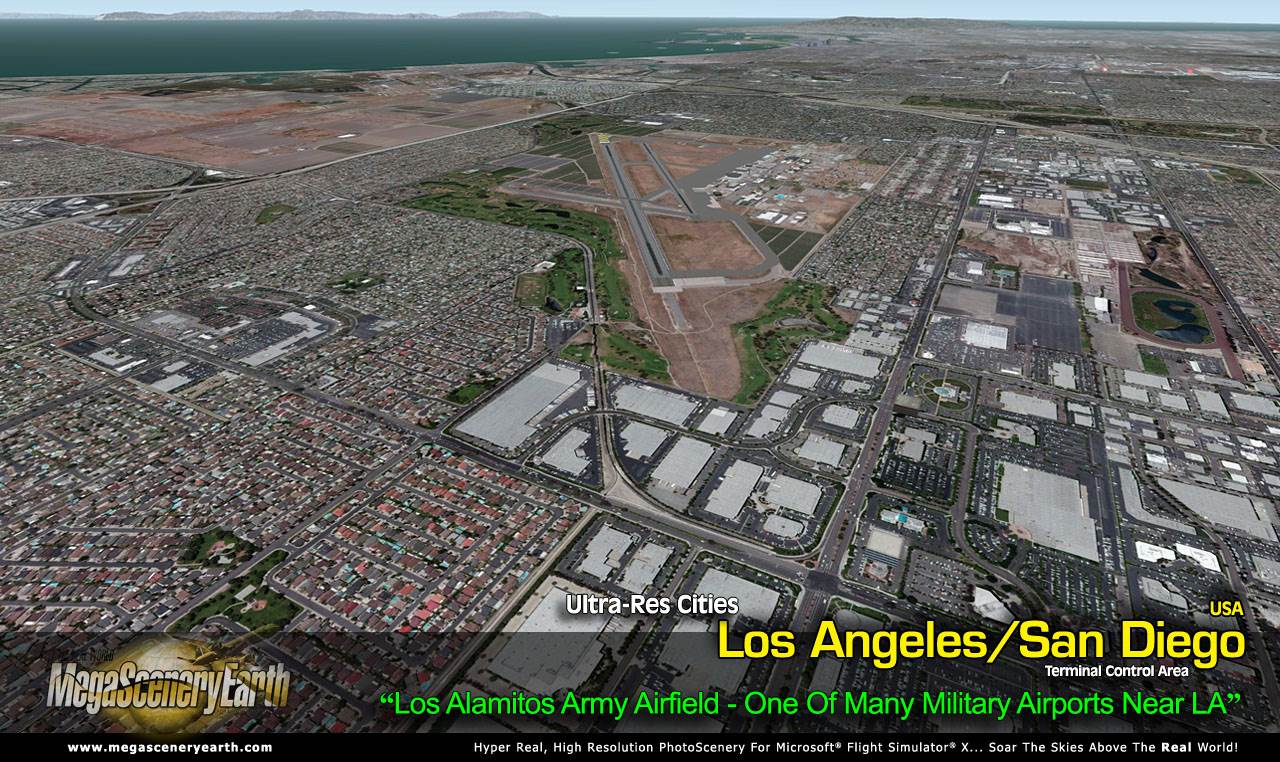
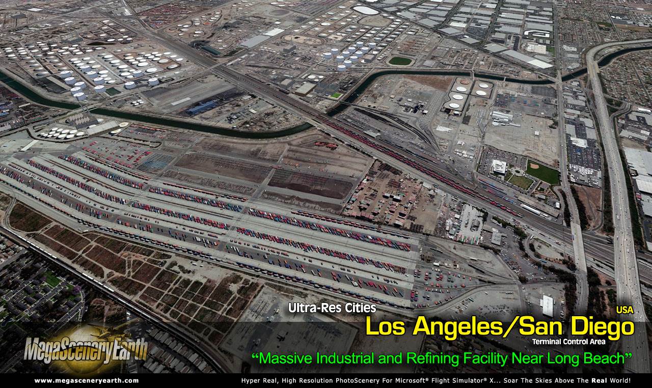
Ultra-Res Cities take MegaSceneryEarth realism to a whole new level with unprecedented native 50 cm resolution scenery for larger cities and Terminal Control Areas.
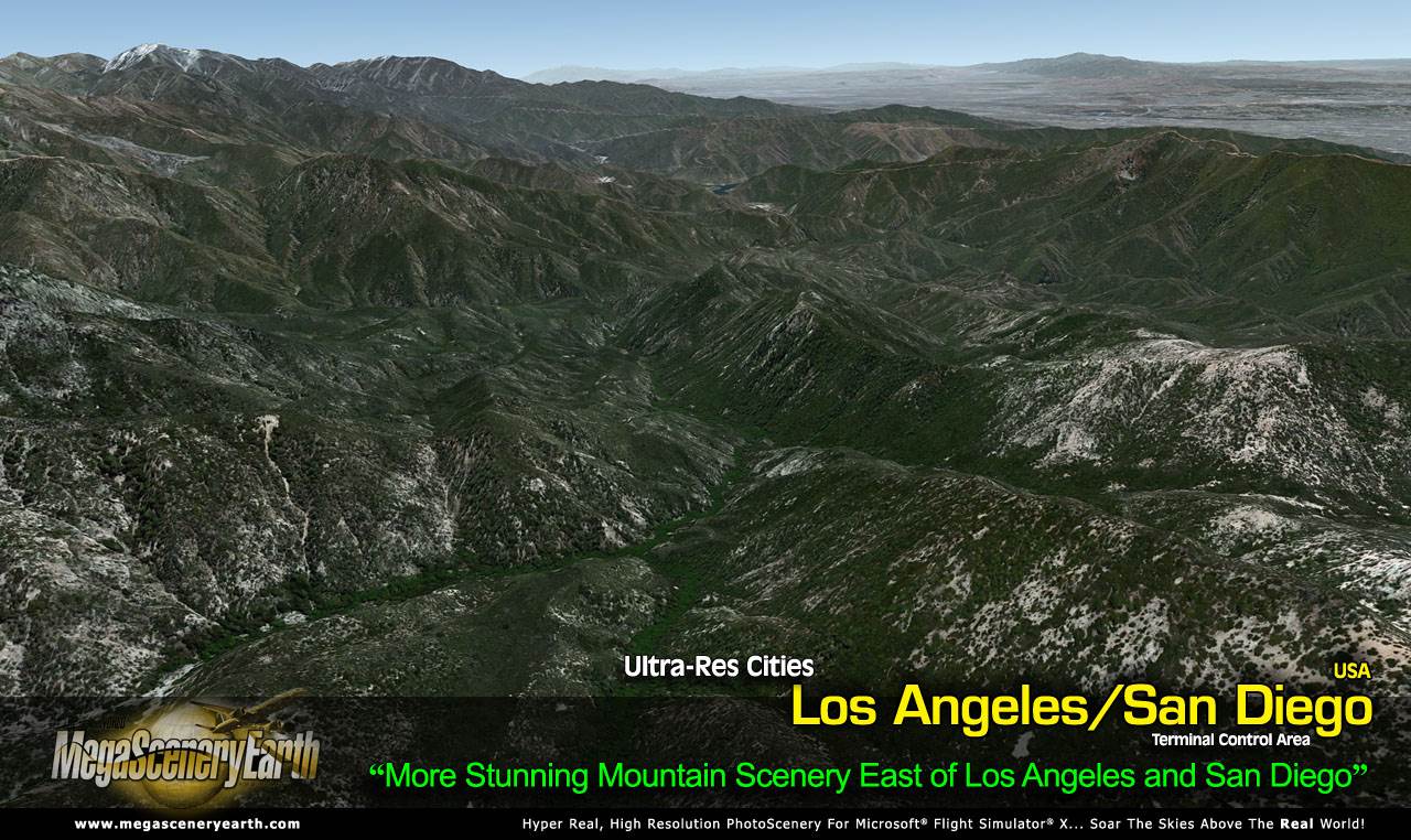
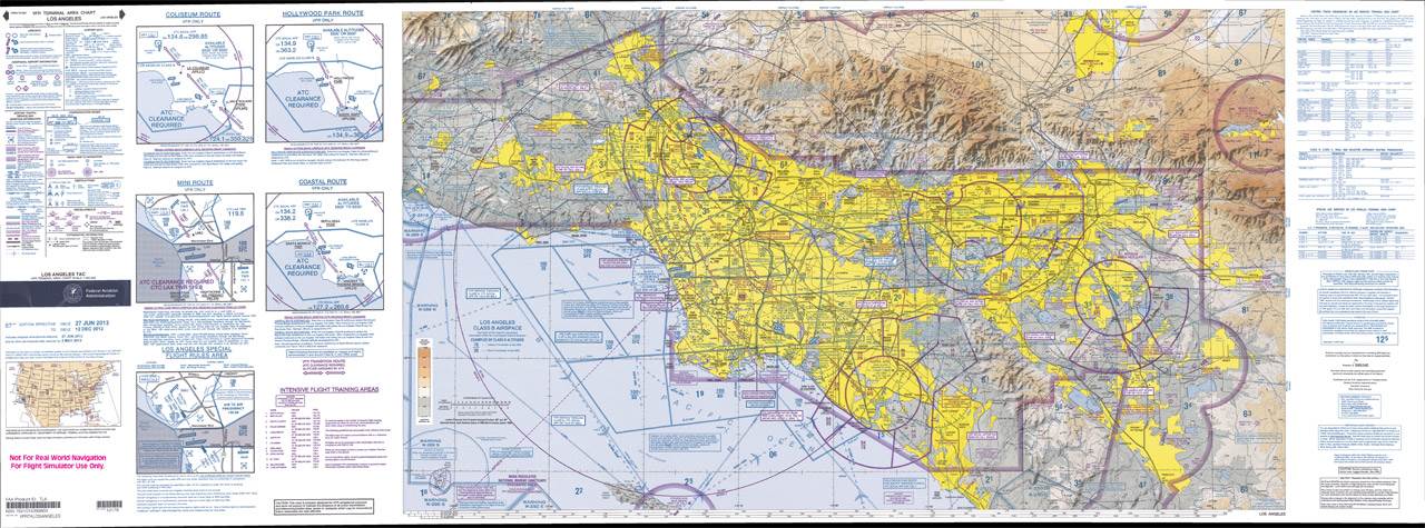
This titles gives you 2 Terminal Control Areas - Los Angeles and San Diego (shown by the chart link below) around 20,000 square miles of the all displayed at 50 cm per pixel.
At over 20,000 square miles and 24 Gigabytes of ultra high res scenery this is an extra large title! We have had to charge just a little more to help cover the additional costs that come with the extra large size.
The realism is simply stunning. You can fly this scenery and it remains clear right down to lower altitudes of around 500 feet. Perfect for helicopter flying around cities as well as cross city shorter flights in light aircraft or for ultra-realism while approaching and landing at a Terminal Control Area in a big jet.
This title can co-exist with the California complete state scenery. Place the Ultra-Res city above the state scenery in your scenery library.
So you can get full enjoyment from your Los Angeles/San Diego Ultra-Res cities we also provide a complete set of PDF charts for the state of California. The most important ones for VFR navigation in the area are the Los Angeles and San Diego Terminal Area Charts. Also great to really experience this scenery to its fullest are the helicopter route charts.
To get a preview you can download the charts from here. The chart shown is the exact area covered by the scenery.
Los Angeles Terminal Area Chart (PDF) (20.3 Mb)
San Diego Terminal Area Chart (PDF) (17.1 Mb)
Los Angeles Helicopter Routes Chart 1 (PDF) (19.1 Mb)
Los Angeles Helicopter Routes Chart 2 (PDF) (22.3 Mb)
This is a download edition with the option to order a DVD disk set (6 discs).
When you order the DVD disk set you will still receive download links. If you do not wish to download, simply wait for your DVDs to arrive in the mail.
An important thing to note with MegaScenery is that with MegaScenery, framerates are faster than the default artificial scenery. So not only do you get the ultimate in realism but you also get a smoother flying experience.
If you don't like to download, choose the DVD MASTER Option and we'll master a 6 disc DVD set with the software and mail it to you anywhere in the world for just $12.00 - all inclusive. Please note that this is a large download at 24.2 Gb. If you are unsure of the stability of your connection we highly recommend you order the DVD Master Option and you'll receive this area on 6 DVDs.
NOTE: You will download a small zip file that has a html file with links to the 23 files that you will download.
You can find out more about MegaSceneryEarth Here
SYSTEM REQUIREMENTS
-
Microsoft Flight Simulator X or FSX: STEAM EDITION or Prepar3D Version 1 or Prepar3D Version 2
-
Any system capable of running FSX
-
24.2 Gb Hard Drive Space
DOWNLOAD SIZE
-
24.2 Gb
Download Time
50 MBps About 60 Mins
20 MBps About 2.5 Hrs
10 MBps About 5 Hrs
5 MBps About 10 Hrs
NOTE: You will download a small zip file that has a html file with links to the 23 files that you will download.
-
You can install and fly the first while others are downloading. Each file takes around 30 minutes to download with a broadband connection.
-
If you're not confident with the large download you can order the DVD Master for just $12.00. (6 DVDs).
|