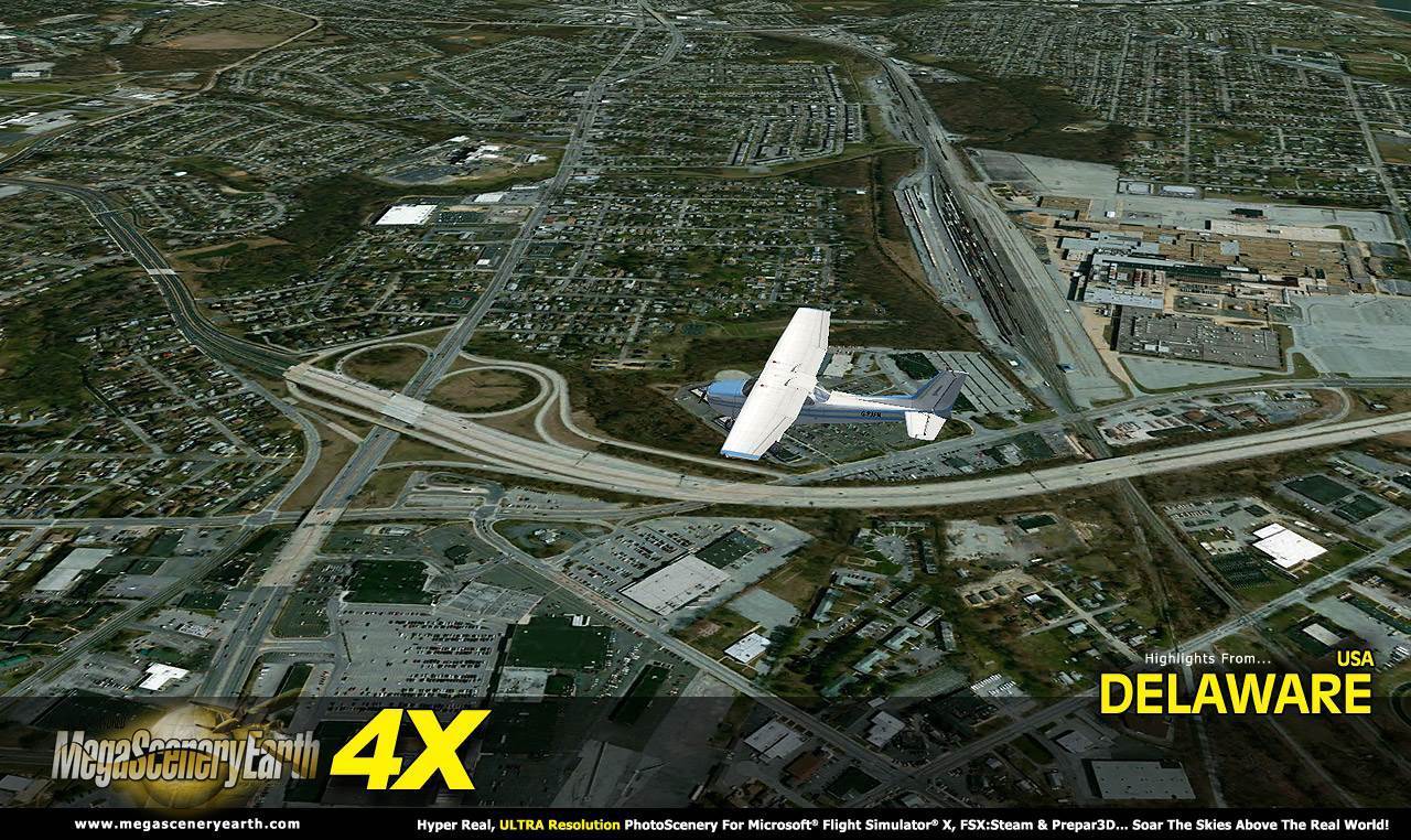
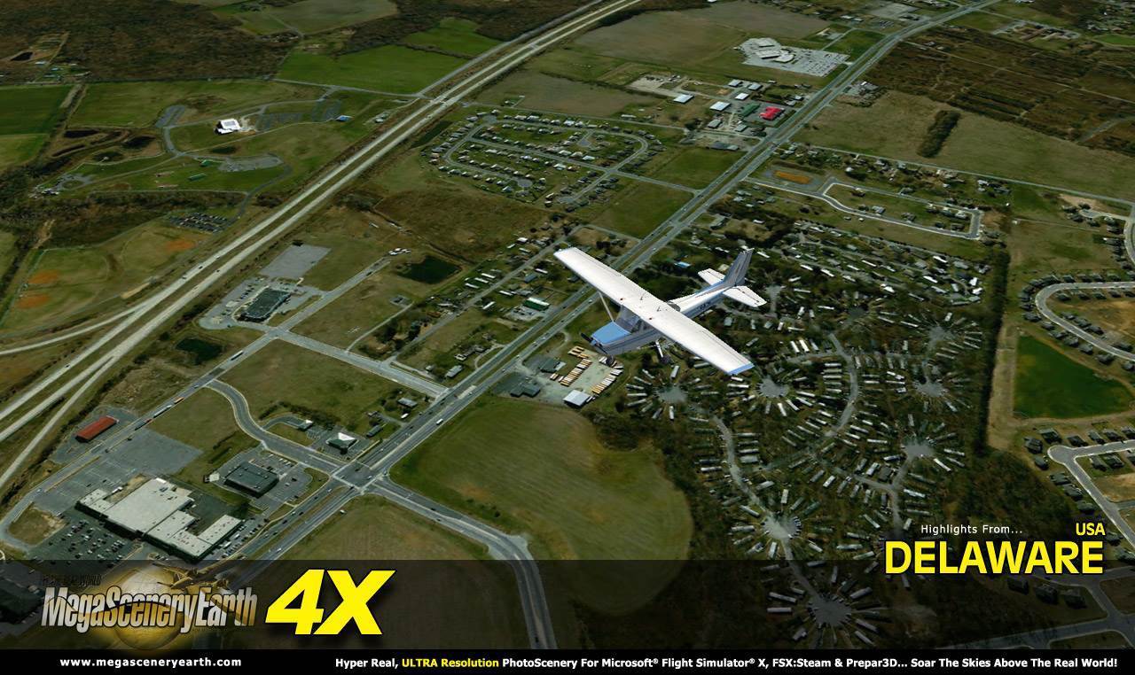
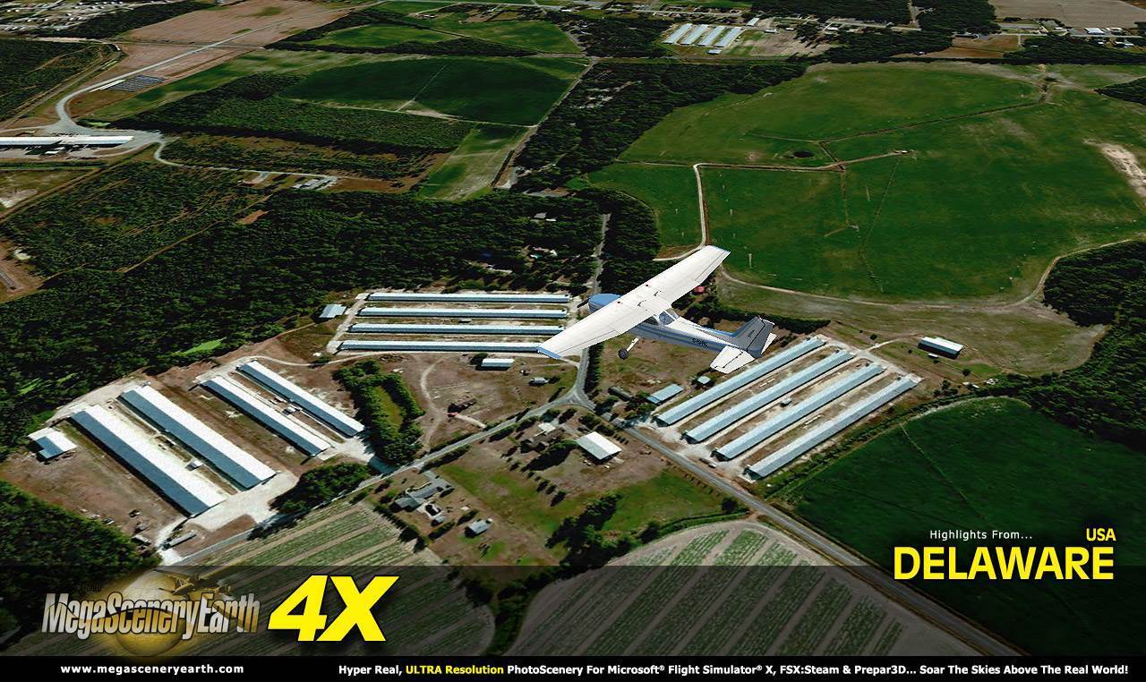
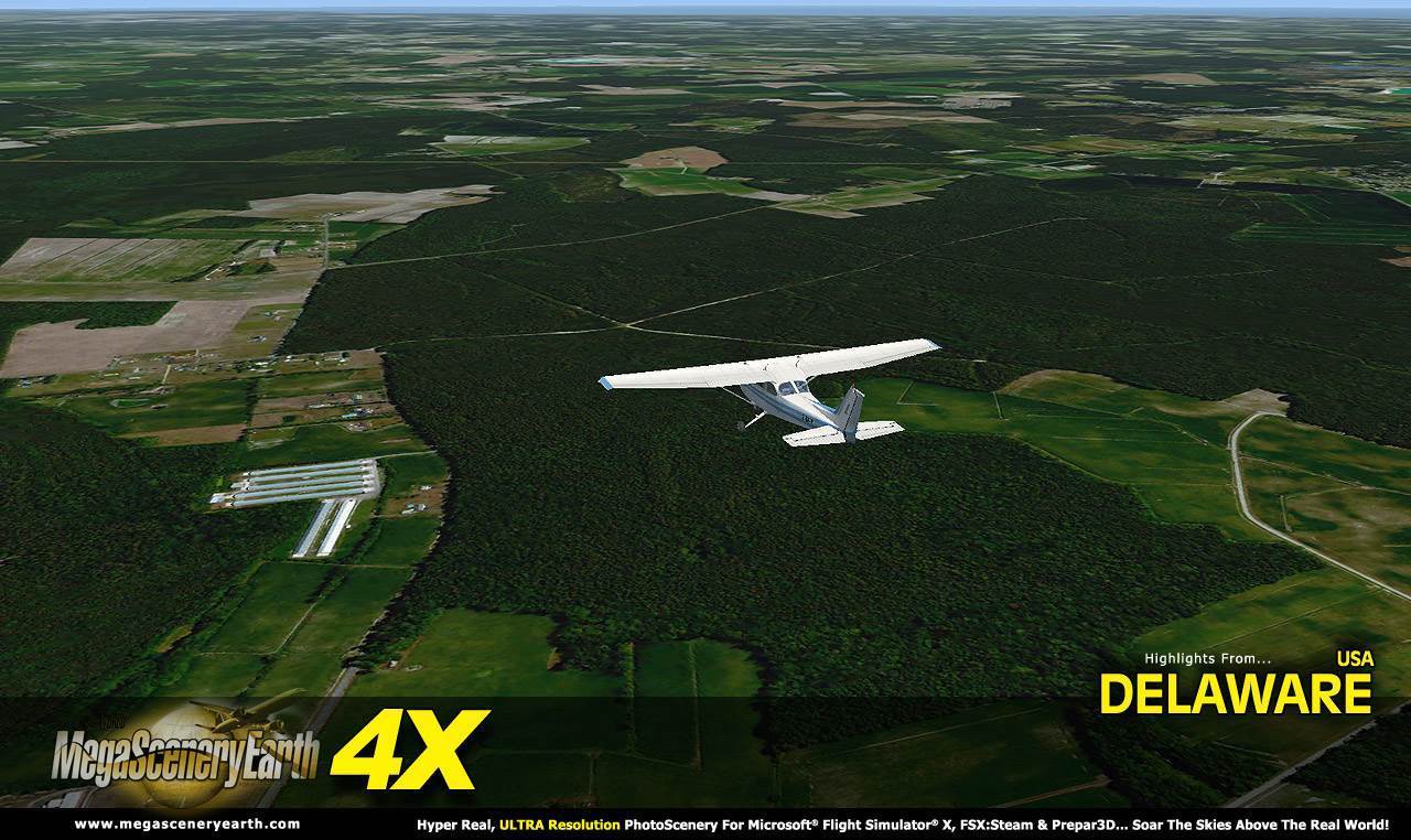
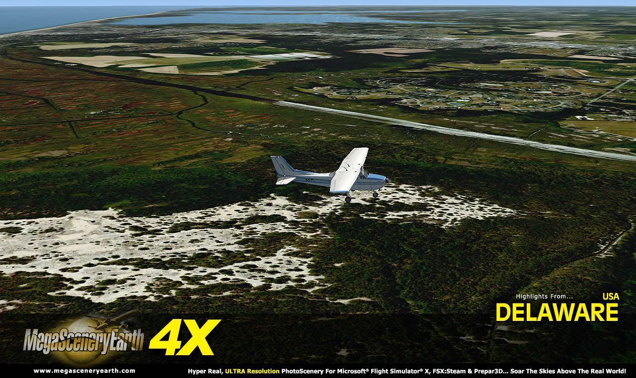
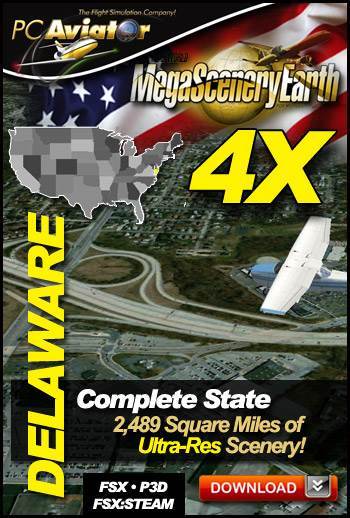
Now you get to fly the entire state of Delaware in ultra-res photoreal detail with MegaSceneryEarth 4X - Delaware!
Delaware is 2,489 square miles in size and has 35 airports. You'll see everything that you see in Delaware in real life in the scenery.
New 4X technology displays at 50 cm per pixel - 4 times the resolution of the previous version 2.0.
Delaware is a small state so we are offering it at a very fair low price.
As an added bonus, we now provide all the VFR and IFR charts in digital PDF format to enable you to get the most out of your scenery. This includes TACs and Sectionals, IFR enroute charts and 63 page book of Instrument Approach plates, Airport Diagrams, SIDs and STARs. The charts are downloadable along with your scenery files.
Some of the cities and landmarks you'll get to enjoy as you explore Delaware include:
Cities: Wilmington, Dover, Newark, Pike Creek, Bear, Brookside
Lakes & Water Bodies: Lums Pond, Hoopes Reservoir, Silver Lake, Red Mill Pond, Delaware Bay, Altantic Coastline, Indian River Bay
Mountains & Hills: Iron Hill (331 ft),
State Parks & National Forests: Bombay Hook, Prime Hook, Redden State Forest, Blackbird State Forest, Trap Pond State Park
Major Rivers: Delaware River, Sassafras, Pocomoke, Appoquinimink, Choptanc
This is a download edition with the option to order a DVD disk set (1 discs).
When you order the DVD disk set you will still receive download links. If you do not wish to download, simply wait for your DVD to arrive in the mail.
THIS TITLE COMES WITH A FULL SET OF OFFICIAL FAA AERONAUTICAL CHARTS FOR DELAWARE IN PDF FORMAT.
Here's what you get (download links for charts will be given to you with your product download):
SECTIONAL CHART: Washington
LOW ALTITUDE IFR CHART: ELUS-33/ELUS-34
HIGH ALTITUDE IFR CHART: EHUS-9/EHUS-10
63 PAGE PDF BOOKLET WITH INSTRUMENT APPROACH CHARTS & AIRPORT DIAGRAMS
An important thing to note with MegaScenery is that with MegaScenery, framerates are faster than the default artificial scenery. So not only do you get the ultimate in realism but you also get a smoother flying experience.
If you don't like to download, choose the DVD MASTER Option and we'll master a 1 disc DVD set with the software and mail it to you anywhere in the world for just $4.00 - all inclusive. Please note that this is a large download at 1.95 Gb. If you are unsure of the stability of your connection we highly recommend you order the DVD Master Option and you'll receive this area on 1 DVDs.
NOTE: You will download a small zip file that has a html file with links to the 1 files that you will download.
You can find out more about MegaSceneryEarth Here
SYSTEM REQUIREMENTS
-
Microsoft Flight Simulator X or FSX: STEAM EDITION or Prepar3D Version 1 or Prepar3D Version 2 or Prepar3D Version 3
-
Any system capable of running FSX
-
1.95 Gb Hard Drive Space
DOWNLOAD SIZE
-
1.95 Gb -
Download Time
50 MBps About 10 mins
20 MBps About 25 mins
10 MBps About 50 mins
5 MBps About 100 mins
-
NOTE: You will download a small zip file that has a html file with links to the 1 files that you will download.
-
You can install and fly the first while others are downloading. Each file takes around 10 to 30 minutes to download with a broadband connection.
-
If you're not confident with the large download you can order the DVD Master for just $4. (1 DVDs).
|