The New MegaSceneryEarth Colorado 3 featuring unsurpassed image sharpness, scenery color and clarity, improved scenery features with accurate additional water bodies and topographical data and the latest aerial imagery available taken in 2015.
This might just be the most visually spectacular state of all. Fly the entire state - BORDER to BORDER - of Colorado in photoreal detail.
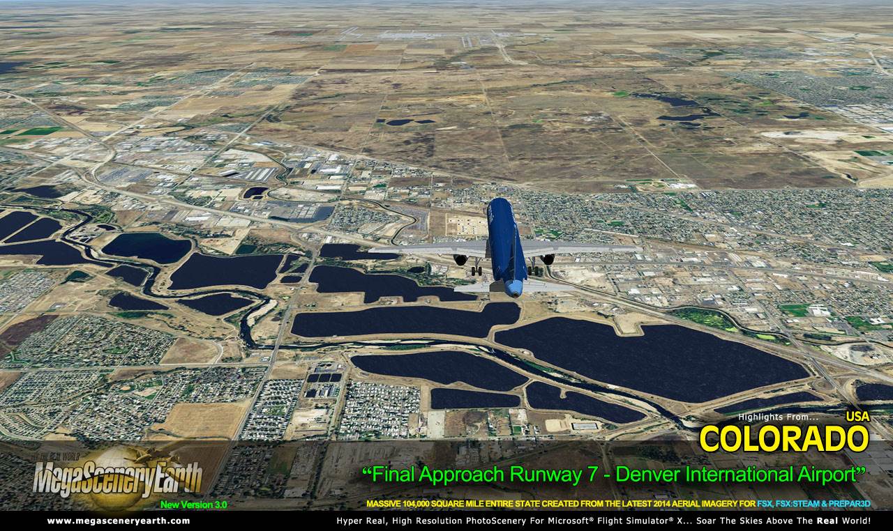
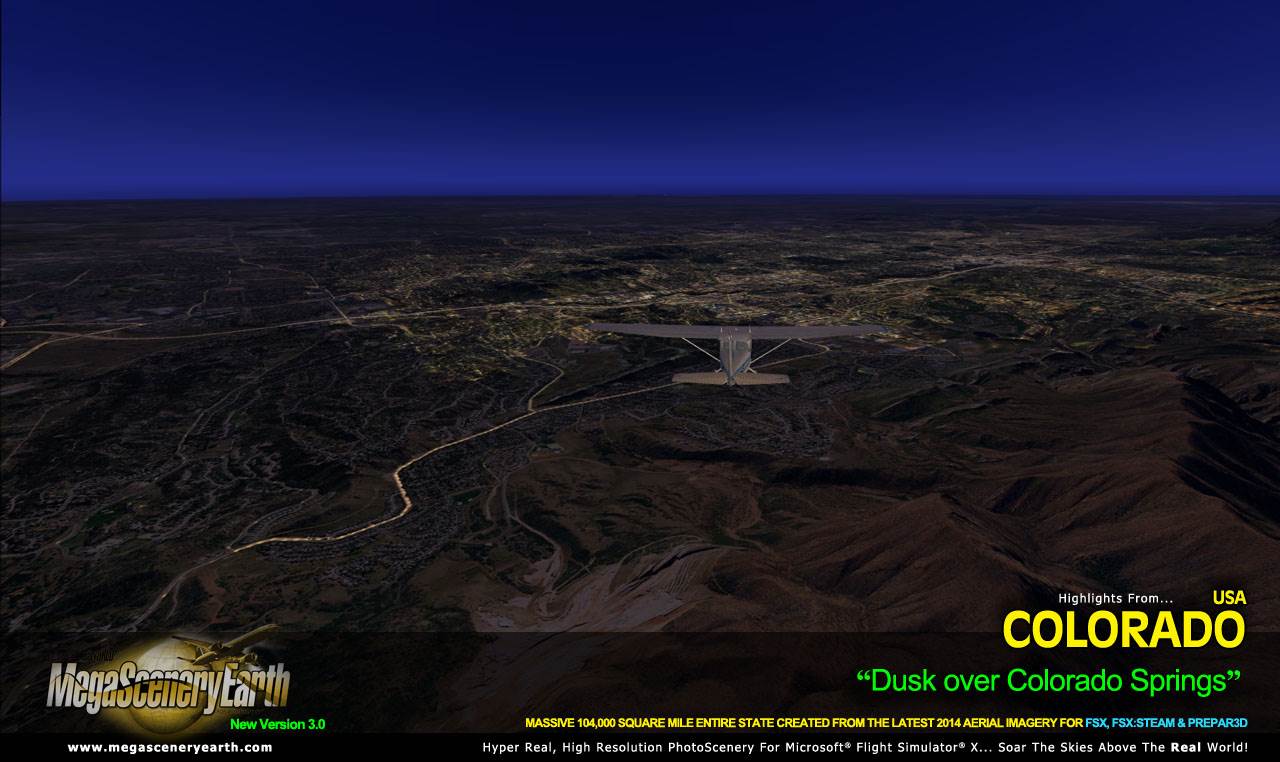
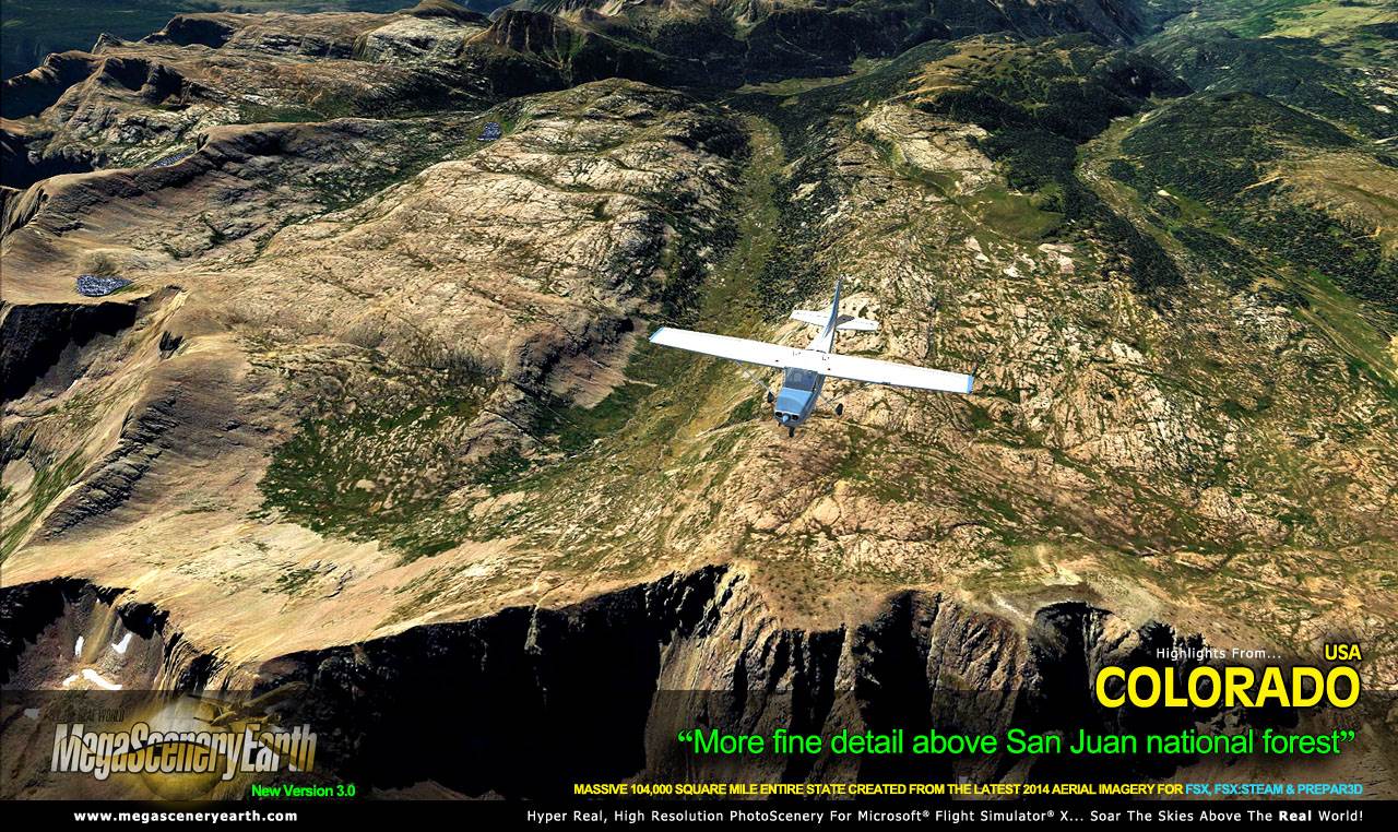
Colorado is over 104,093 square miles in size and has 272 airports. You'll see everything that you see in Colorado in real life in the scenery.
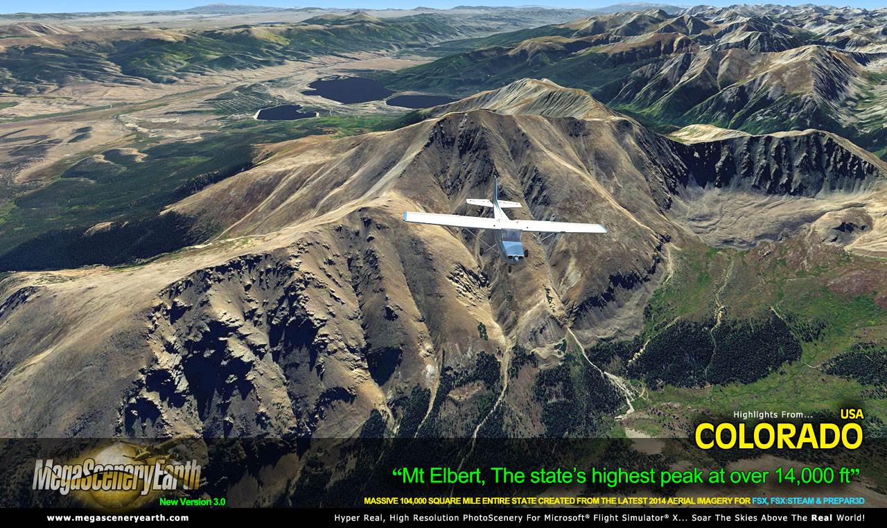
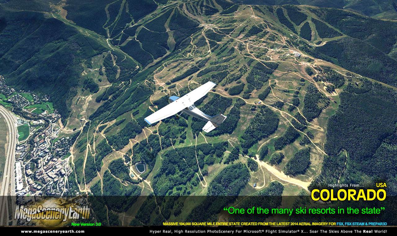
Colorado is a visually spectacular and fun place to fly with Rocky Mountain terrain with towering mountain peaks above 14,000 feet. Average elevation of Colorado is 6,800 feet, higher than any other state. This kind of terrain is where MegaSceneryEarth 2.0's high res graphics really shine. You'll be truly stunned by the scenery of Colorado.
As an added bonus, we now provide all the VFR and IFR charts in digital PDF format to enable you to get the most out of your scenery. This includes 3 Sectionals, 2 Terminal Area Charts, 5 IFR enroute charts, and a 477 page book of Instrument Approach plates, Airport Diagrams, SIDs and STARs, and an Airport Facility Directory. The charts are downloadable along with your scenery files.
Some of the cities and landmarks you'll get to enjoy as you explore Colorado include:
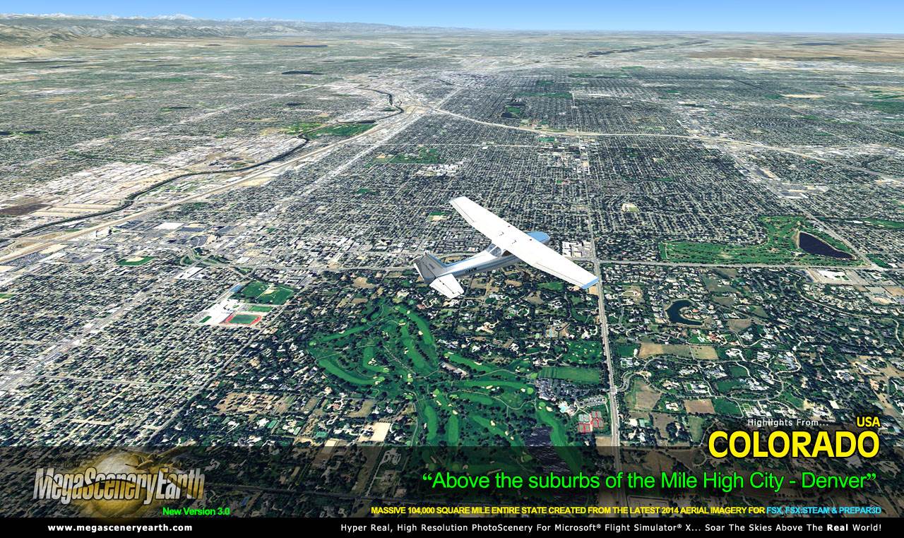
Cities: Denver, Colorado Springs, Aurora, Lakewood, Fort Collins, Arvada, Boulder
Lakes & Water Bodies: Grand Lake, Blue Mesa Reservoir, John Martin Reservoir
Mountains & Hills: Mount Elbert (14,426 ft), Mount Harvard, Mount Massive, La Plata Peak, Blanca Peak and a total of 50 other peaks and mountains above 14,000 feet. Mean state elevation 6,800 ft.
State Parks & National Forests: Arapaho National Forest, Comanche National Grassland, Grand Mesa National Forest, Gunnison National Forest, Pawnee National Grassland, Pike National Forest, Rio Grande National Forest, Roosevelt National Forest, Routt National Forest, San Isabel National Forest, San Juan National Forest, Uncompahgre National Forest, White River National Forest
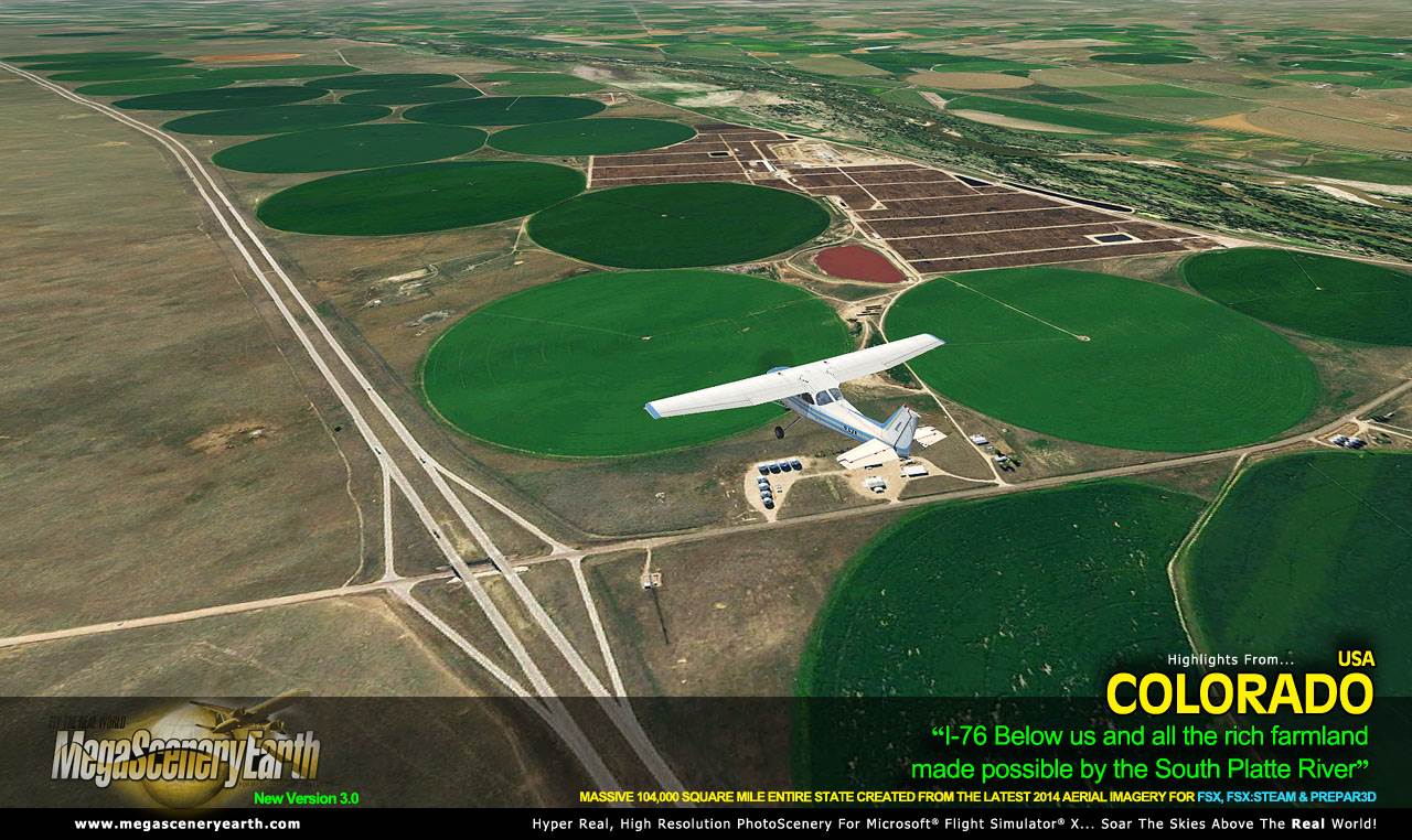
Major Rivers: Colorado River, Rio Grande, Arkansas River, South Platte River
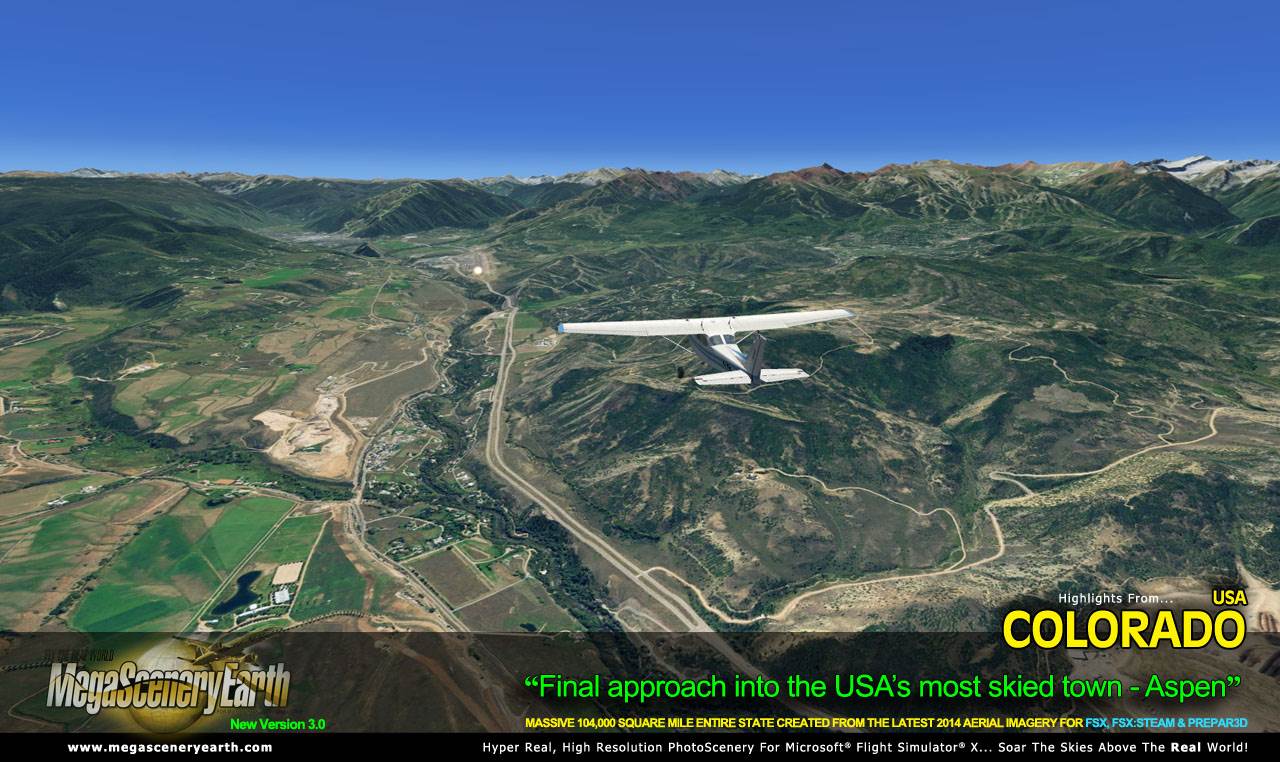
Other Highlights: Aspen
Discover the rest of it all for yourself! There's a LOT to see!
This is a download edition with the option to order a DVD disk set (10 discs).
When you order the DVD disk set you will still receive download links. If you do not wish to download, simply wait for your DVDs to arrive in the mail.
THIS TITLE COMES WITH A FULL SET OF FAA AERONAUTICAL CHARTS FOR Colorado IN PDF FORMAT.
Here's what you get (download links for charts will be given to you with your product download):
SECTIONAL CHARTS: Cheyenne, Denver, Wichita
TERMINAL AREA CHART: Denver, Colorado Springs
LOW ALTITUDE IFR CHARTS: ELUS-07/ELUS-08, ELUS-09/ELUS-10, ELUS-15/ELUS-16
HIGH ALTITUDE IFR CHARTS: EHUS-03/EHUS-04, EHUS-05/EHUS-06
AIRPORT FACILITY DIRECTORY: A FULLY INDEXED 46 PAGE PDF BOOKLET
APPROACH CHARTS & AIRPORT DIAGRAMS: A FULLY INDEXED 477 PAGE PDF BOOKLET
DVD SET is 10 DVDs
|