The New MegaSceneryEarth Arkansas 3 featuring unsurpassed image sharpness, scenery color and clarity, improved scenery features with accurate additional water bodies and topographical data and the latest aerial imagery available taken in 2015.
Fly the entire state - BORDER to BORDER - of Arkansas in photoreal detail.
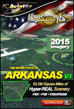
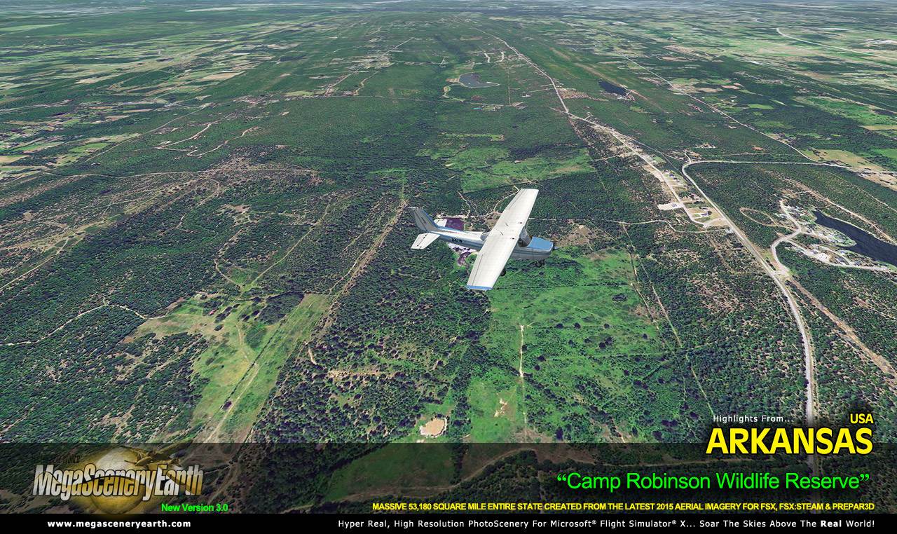
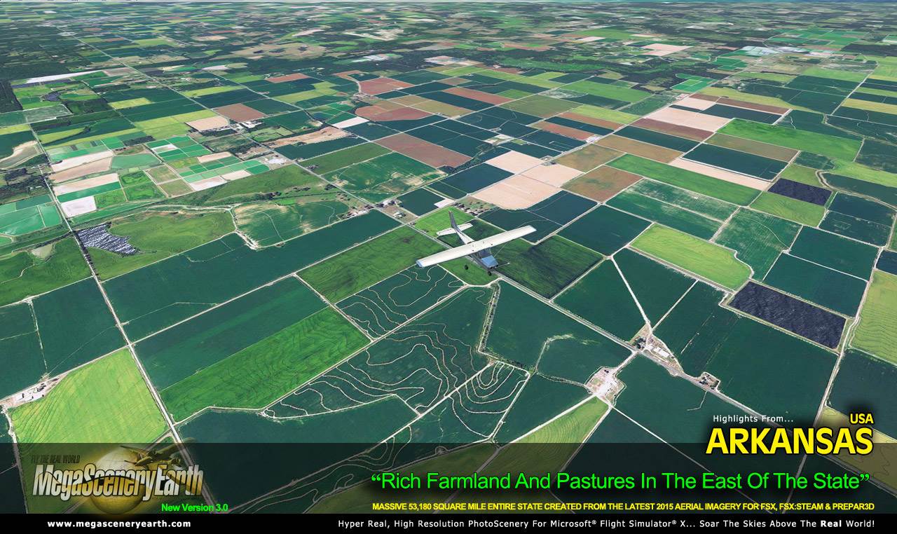
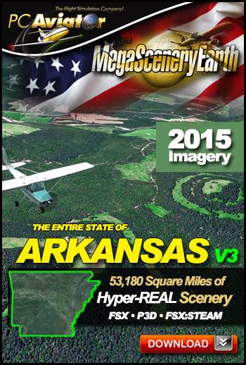
Arkansas is 53,179 square miles in size and has 254 airports. You'll see everything that you see in Arkansas in real life in the scenery.
As an added bonus, we now provide all the VFR and IFR charts in digital PDF format to enable you to get the most out of your scenery. This includes Sectionals, IFR enroute charts and 258 page book of Instrument Approach plates, Airport Diagrams, SIDs and STARs, and an Airport Facility Directory. The charts are downloadable along with your scenery files.
Some of the cities and landmarks you'll get to enjoy as you explore Arkansas include:
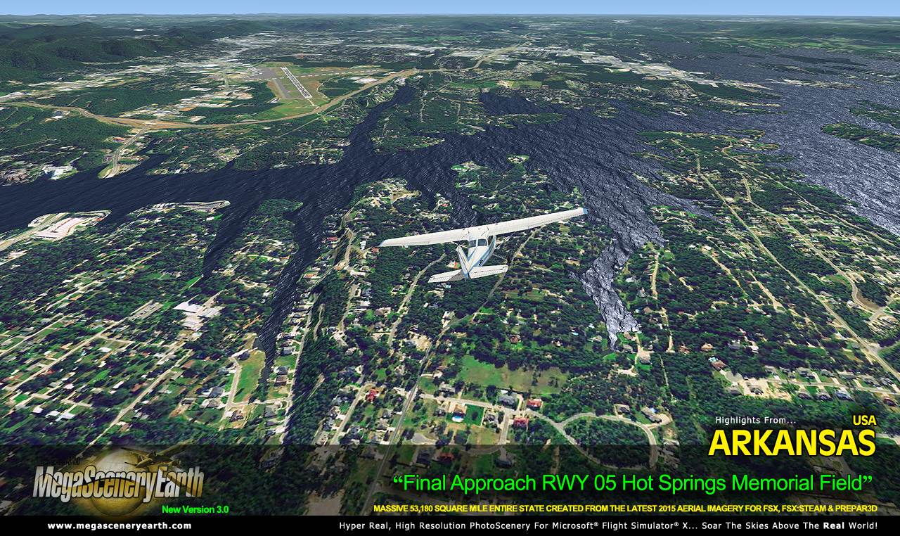
Cities: Little Rock, Fort Smith, Fayetteville, Jonesboro, Pine Bluff, Springdale, Hot Springs
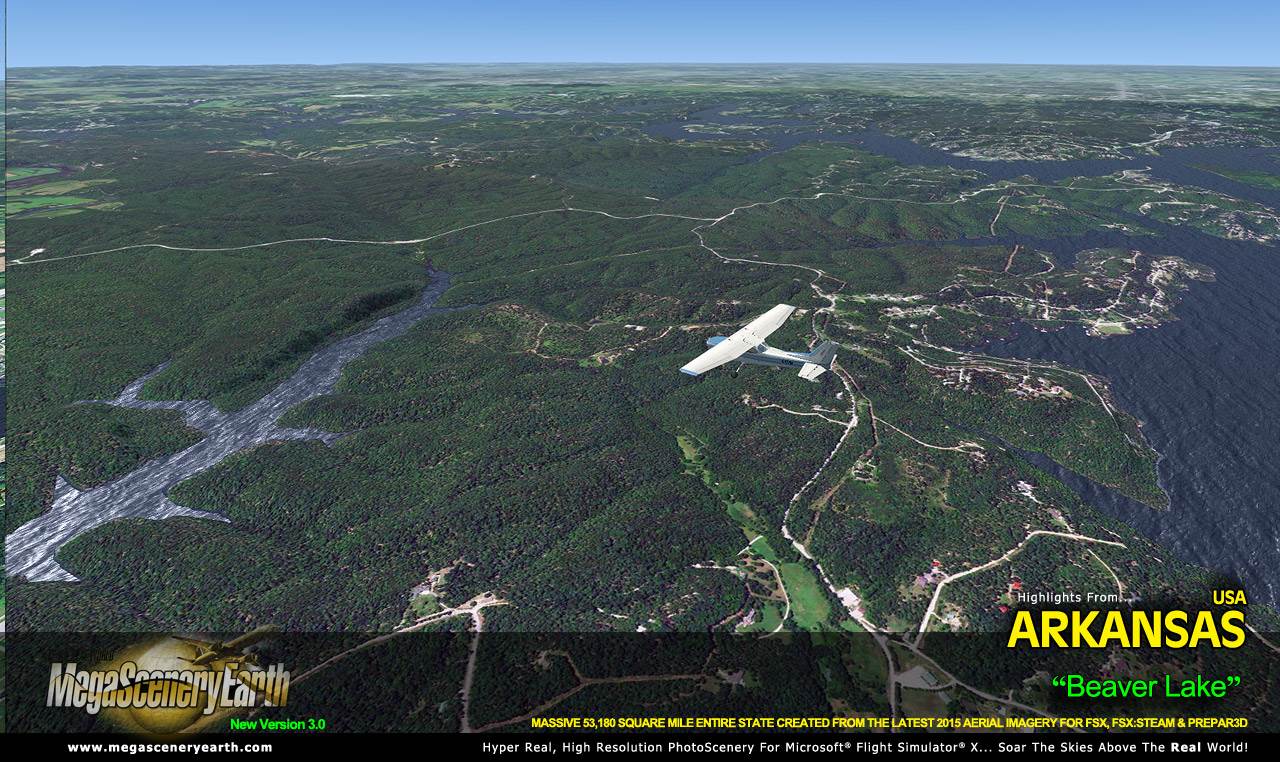
Lakes & Water Bodies: Lake Ouachita, Bull Shoals Lake, Greers Ferry Lake, Norfolk Lake, Beaver Lake. Lake Dardanelle, Millwood Lake
Mountains & Hills: Magazine Mountain (2,749), Signal Hill. Black Fork Mountain, Blue Mountain, Cameron Bluff and a total of 50 peaks above 2,200 ft. Includes the Ozark Mountains.
State Parks & National Forests: Ouachita National Forest, Ozark-St. Francis National Forest.
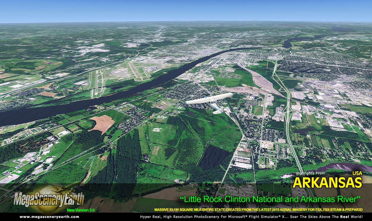
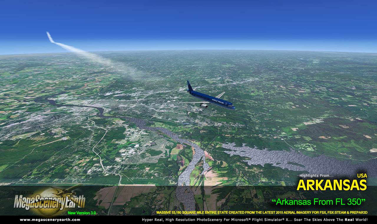
Major Rivers: Mississippi River (entire eastern border), Arkansas River
Discover the rest of it all for yourself! There's a LOT to see!
This is a download edition with the option to order a DVD disk set (9 discs).
When you order the DVD disk set you will still receive download links. If you do not wish to download, simply wait for your DVDs to arrive in the mail.
THIS TITLE COMES WITH A FULL SET OF FAA AERONAUTICAL CHARTS FOR Arkansas IN PDF FORMAT.
Here's what you get (download links for charts will be given to you with your product download):
SECTIONAL CHARTS: Memphis, Kansas City, St Louis
LOW ALTITUDE IFR CHARTS: ELUS-15/ELUS-16, ELUS-17/ELUS-18
HIGH ALTITUDE IFR CHARTS: EHUS-05/EHUS-06
AIRPORT FACILITY DIRECTORY: A FULLY INDEXED 47 PAGE PDF BOOKLET
APPROACH CHARTS & AIRPORT DIAGRAMS: A FULLY INDEXED 258 PAGE PDF BOOKLET
|