| The New MegaSceneryEarth Iowa V3
featuring unsurpassed image sharpness, scenery color and clarity,
improved scenery features with accurate additional water bodies and
topographical data and the
latest aerial imagery available taken in 2014.
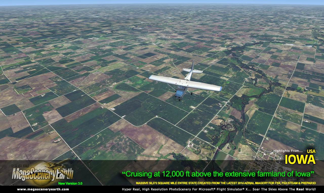
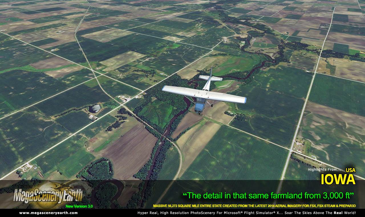
Fly the entire state - BORDER to BORDER - of Iowa in photoreal detail.
Iowa is 56,272 square miles in size and has 234 airports. You'll see everything that you see in
Iowa in real life in the scenery.
As an added bonus, we now provide all the VFR and IFR charts in digital PDF
format to enable you to get the most out of your scenery. This includes
two Sectionals, three IFR enroute charts and a 344 page book of Instrument
Approach plates, Airport Diagrams, SIDs and STARs, and an Airport Facility
Directory. The charts are downloadable
along with your scenery files.
Some of the cities and landmarks you'll get to enjoy as you explore
Iowa include:
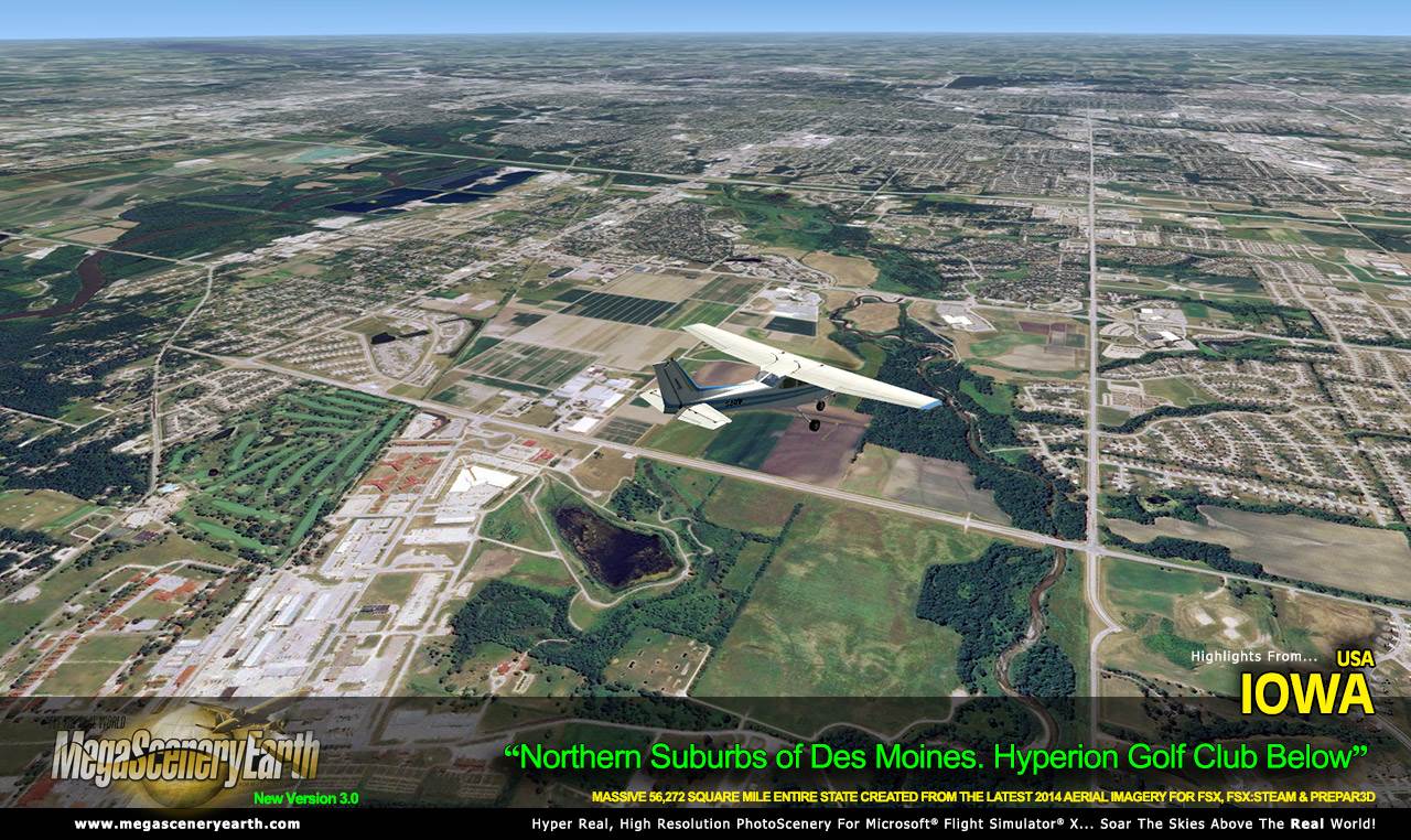
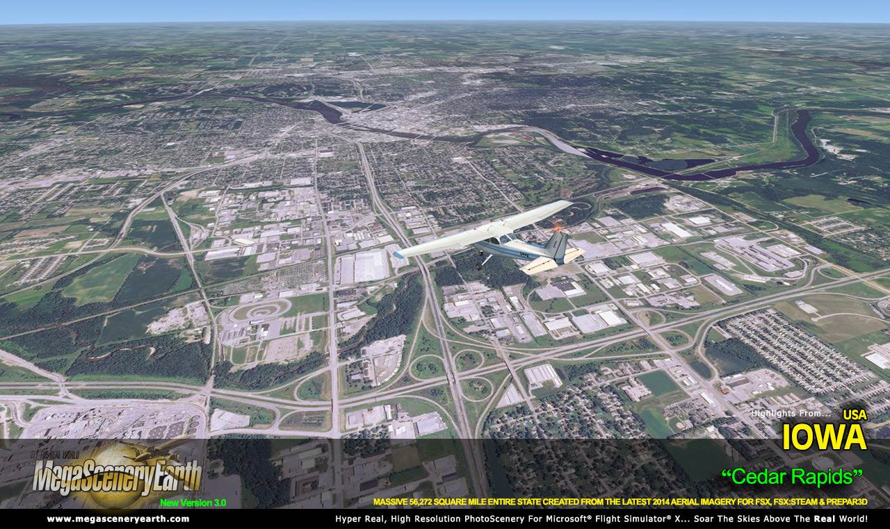
Cities: Des Moines, Cedar Rapids, Davenport, Sioux City, Waterloo,
Iowa City, Council Bluffs, Dubuque, Ames
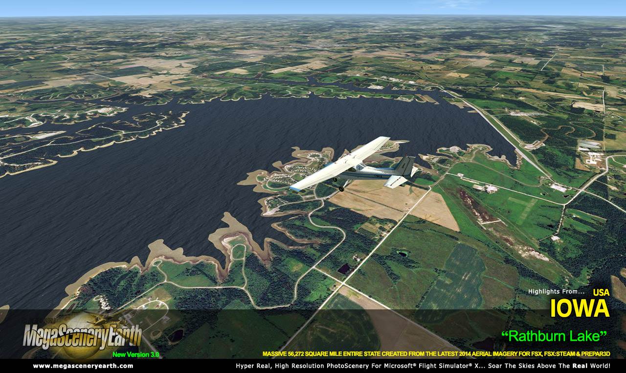
Lakes & Water Bodies: Lake Red Rock, Saylorville Lake, Rathburn
Lake, Coralville Lake, Storm Lake
Mountains & Hills: Hawkeye Point (1,670 ft), Pilot Knob, Granger Hill,
Mount Moses and a total of 50 peaks above
500 ft.
State Parks & National Forests: Gulfport, Mill Creek, Honey Creek,
Lake Wapello, Geode
Major Rivers: Mississippi, Des Moines, Iowa, Cedar, Missouri
Discover the rest of it all for yourself! There's a LOT to see!
This is a download edition with the option to order a DVD disk set (5 discs).
When you order the DVD disk set you will still receive download links. If you do
not wish to download, simply wait for your DVDs to arrive in the mail.
THIS TITLE COMES WITH A FULL SET OF FAA AERONAUTICAL CHARTS FOR Iowa IN PDF FORMAT.
Here's what you get (download links for charts will be given to you with
your product download):
SECTIONAL CHARTS: Chicago, Omaha
LOW ALTITUDE IFR CHARTS: ELUS-11/ELUS-12, ELUS-27/ELUS-28
HIGH ALTITUDE IFR CHARTS: EHUS-05/EHUS-06
AIRPORT FACILITY DIRECTORY: A FULLY INDEXED 47 PAGE PDF BOOKLET
APPROACH CHARTS & AIRPORT DIAGRAMS: A FULLY INDEXED 344 PAGE PDF BOOKLET |