The New MegaSceneryEarth Nevada V3 featuring unsurpassed image sharpness, scenery color and clarity, improved scenery features with accurate additional water bodies and topographical data and the latest aerial imagery available taken in 2015.
Nevada is over 110,560 square miles in size and has 114 airports. You'll see everything that you see in Nevada in real life in the scenery.
This scenery covers 98,500 square miles since there is no aerial photography available for the classified Area 51 in the south of the state.*
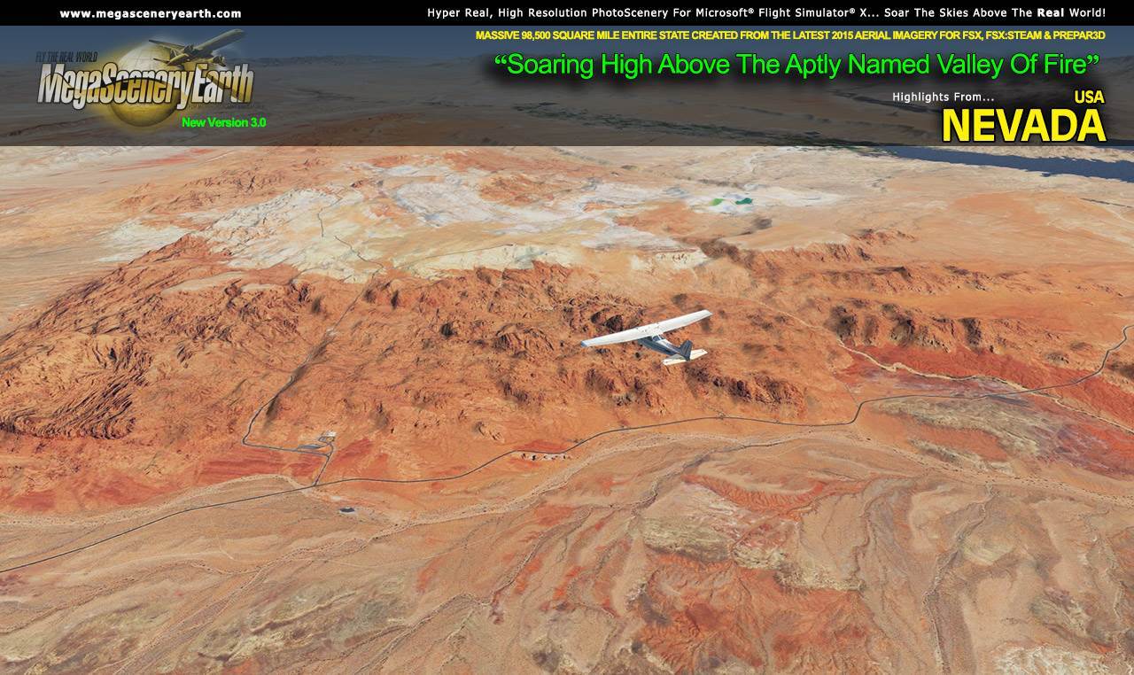
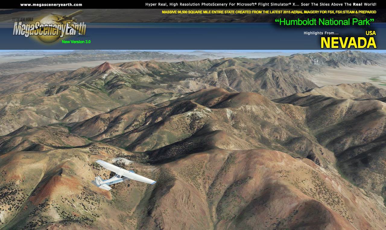
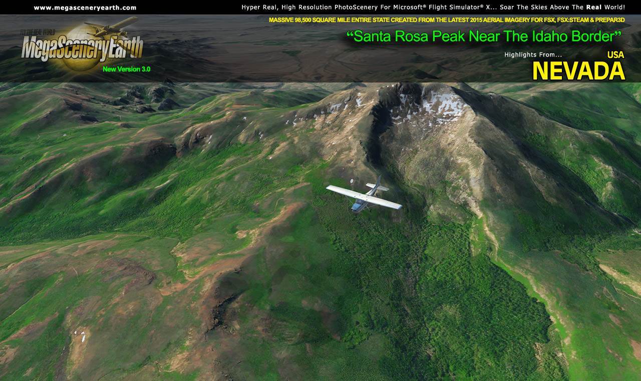
Nevada is yet another of the visually spectacular mountain states that gives you eye candy beyond imagination for your flight simulator flying - towering mountain peaks above 13,000 feet, high plains, canyons, basins, mesas and deserts.
As an added bonus, we now provide all the VFR and IFR charts in digital PDF format to enable you to get the most out of your scenery. This includes 3 Sectionals, 1 Terminal Area Charts, 4 IFR enroute charts, and a 176 page book of Instrument Approach plates, Airport Diagrams, SIDs and STARs, and an Airport Facility Directory. The charts are downloadable along with your scenery files.
Some of the cities and landmarks you'll get to enjoy as you explore Nevada include:
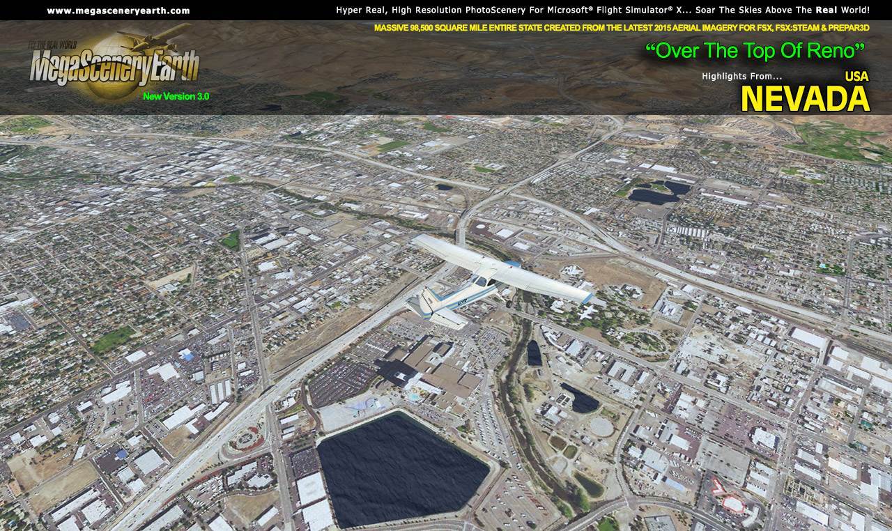
Cities: Las Vegas, Reno, Paradise, Henderson, Spring Valley, Carson City
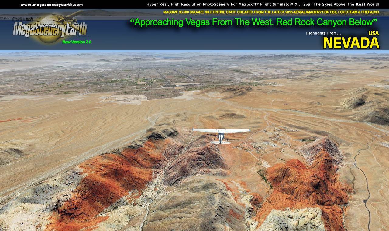
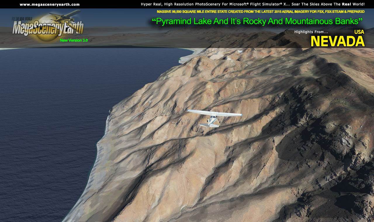
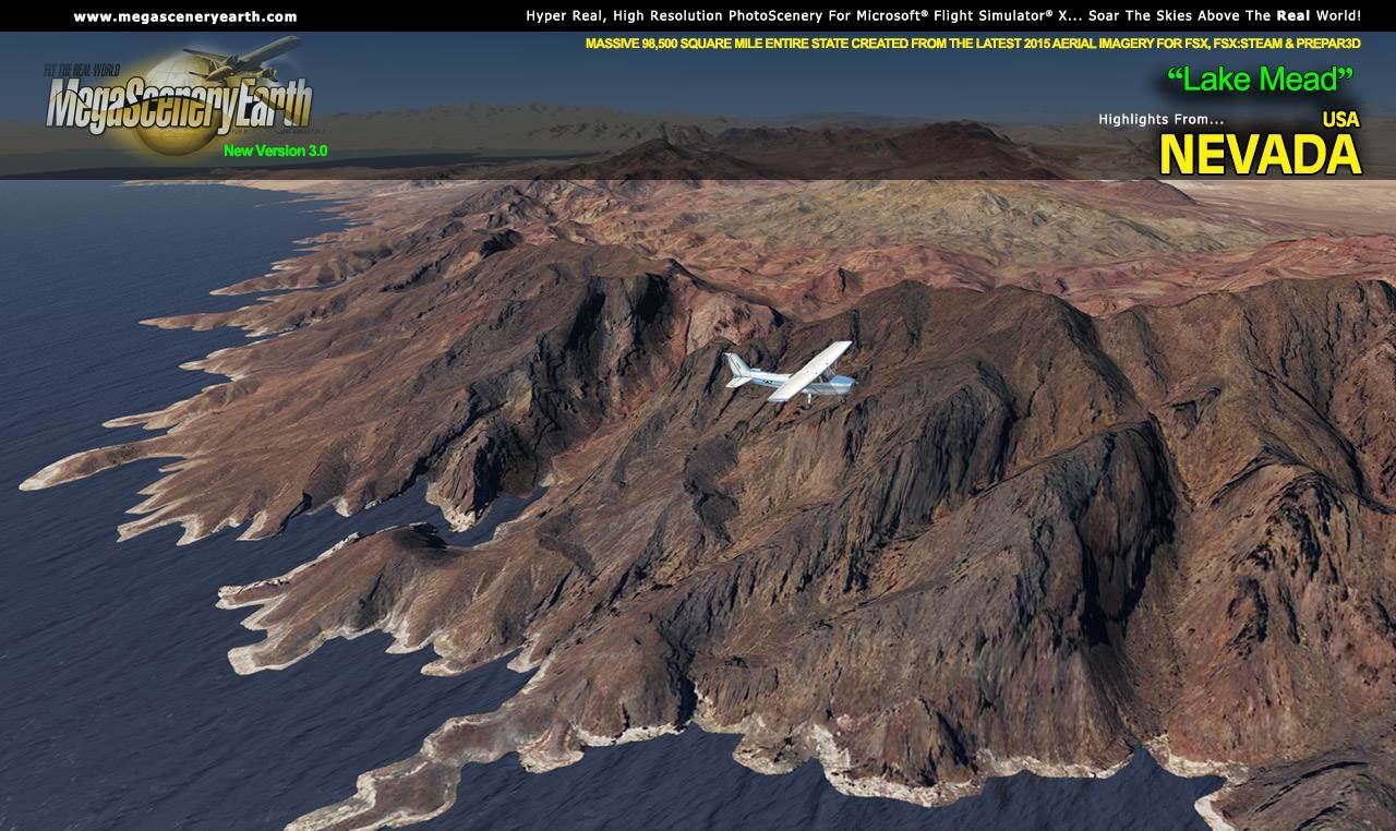
Lakes & Water Bodies: Pyramid Lake, Lake Mead, Lake Mojave, Lake Tahoe, Walker Lake, Hoover Dam
Mountains & Hills: Boundary Peak (13,130 ft), Wheeler Peak, Jeff Davis Peak, South Summit, Baker Peak, Pyramid Peak and a total of 50 other peaks and mountains above 10,500 feet.
State Parks & National Forests: Humboldt-Toiyabe National Forest, Great Basin, Cave Lake State Park, Wild Horse Reservoir State Park
Major Rivers: Colorado River, Columbia River, Humboldt River, Truckee River
Discover the rest of it all for yourself! There's a LOT to see!
This is a download edition with the option to order a DVD disk set (14 discs).
When you order the DVD disk set you will still receive download links. If you do not wish to download, simply wait for your DVDs to arrive in the mail.
THIS TITLE COMES WITH A FULL SET OF FAA AERONAUTICAL CHARTS FOR Nevada IN PDF FORMAT.
Here's what you get (download links for charts will be given to you with your product download):
SECTIONAL CHARTS: Klamath Falls, Las Vegas, Salt Lake City, San Francisco
TERMINAL AREA CHART: Las Vegas
LOW ALTITUDE IFR CHARTS: ELUS-07/ELUS-08, ELUS-09/ELUS-10, ELUS-11/ELUS-12
HIGH ALTITUDE IFR CHARTS: EHUS-03/EHUS-04
AIRPORT FACILITY DIRECTORY: A FULLY INDEXED 25 PAGE PDF BOOKLET
APPROACH CHARTS & AIRPORT DIAGRAMS: A FULLY INDEXED 176 PAGE PDF BOOKLET
* There is a 12,000 square mile area to the south of the state also known as Area 51 that is not covered by photoscenery due to what we assume is the classified nature of the area and terrain.
|