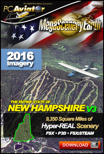
The New MegaSceneryEarth New Hampshire V3 featuring unsurpassed image sharpness, scenery color and clarity, improved scenery features with accurate additional water bodies and topographical data and the
latest aerial imagery available taken in 2016.
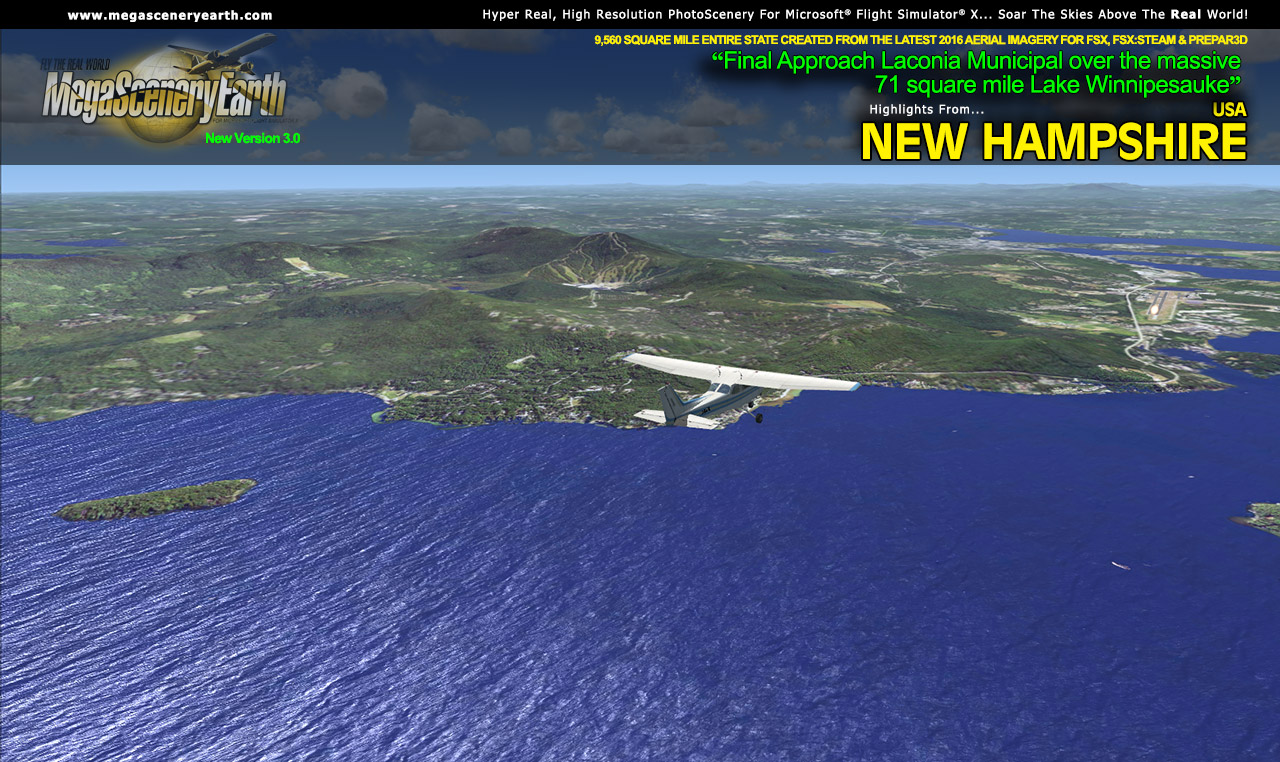
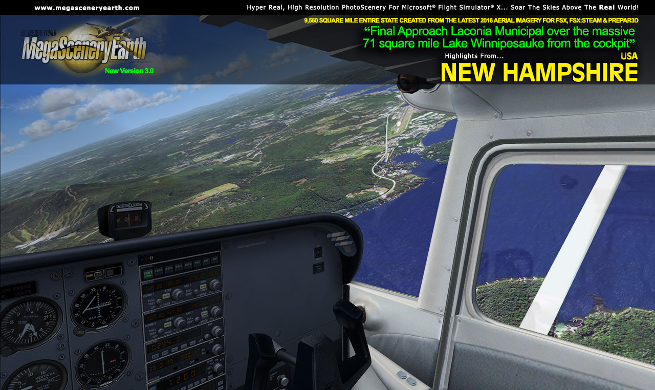
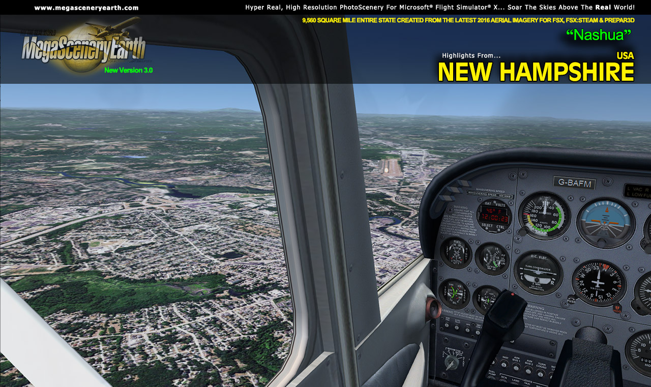
Fly the entire state - BORDER to BORDER - of New Hampshire in photoreal detail.
New Hampshire is 9,350 square miles in size and has 64 airports. You'll see everything that you see in
New Hampshire in real life in the scenery.
Some of the cities and landmarks you'll get to enjoy as you explore
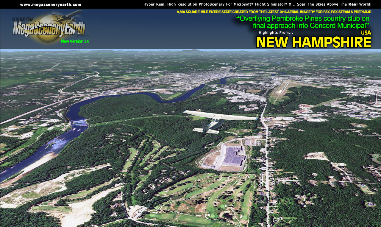
New Hampshire include:Cities: Manchester, Nashua, Concord,
Dover, Rochester, Keene, Portsmouth
Lakes & Waterbodies: Lake Winnipesaukee, Newfound Lake, Lake
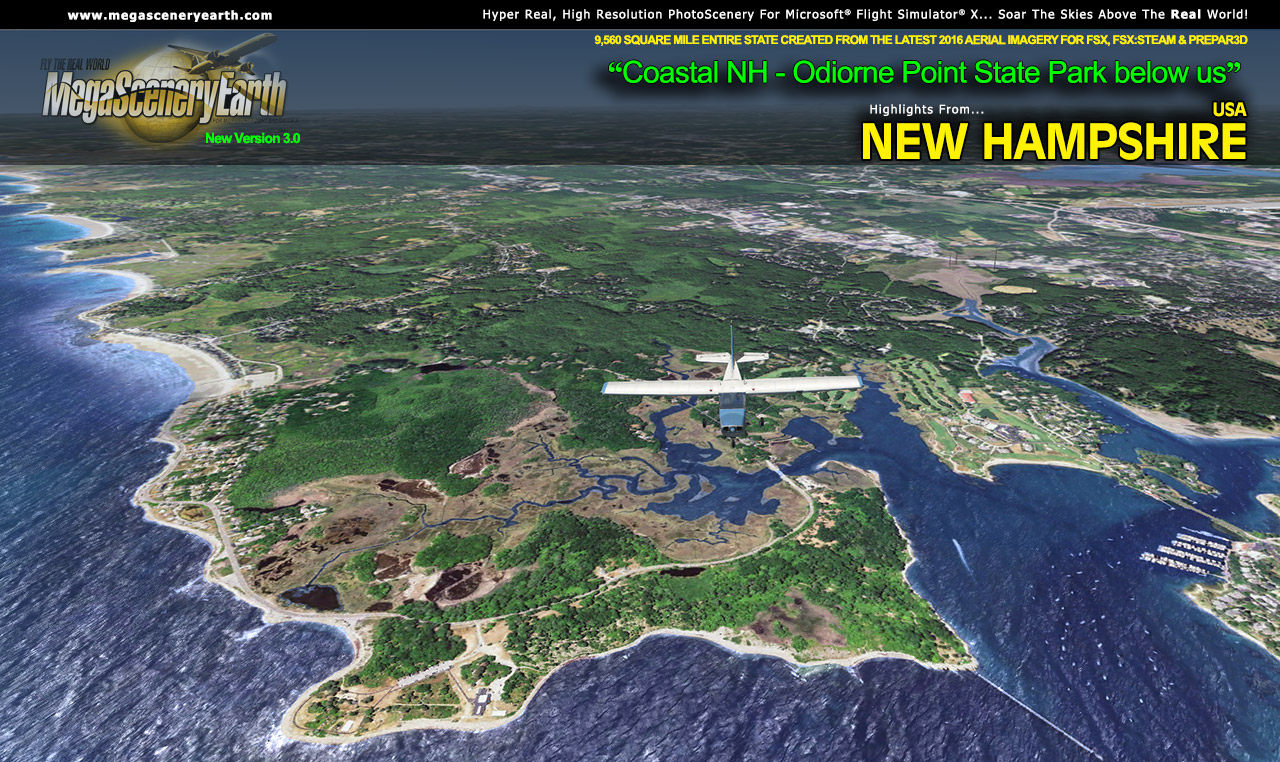
Sunapee, Massabesic Lake, Great Bay, Atlantic Ocean Coastline
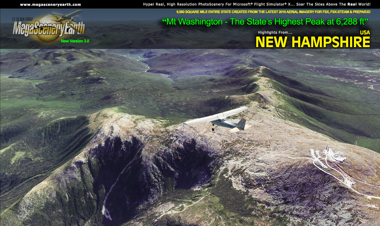
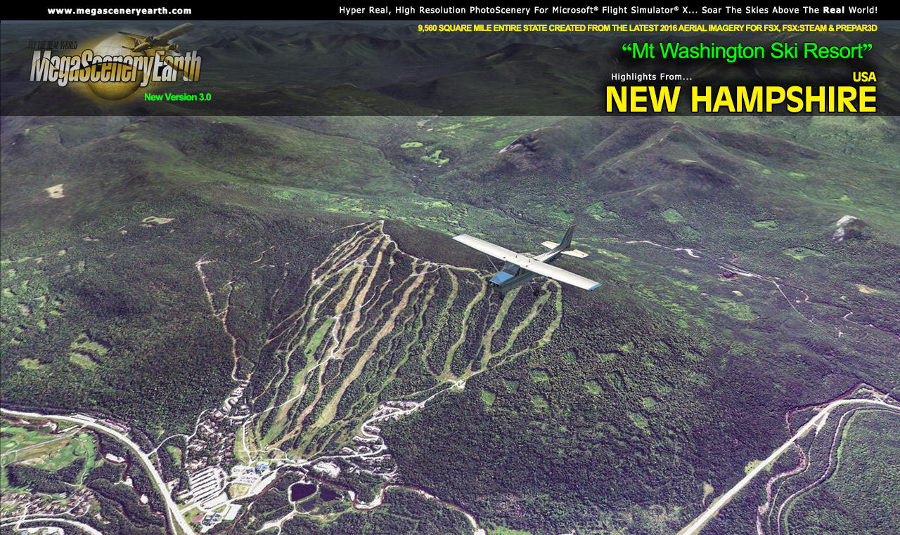
Mountains: Mt Washington (6,283 ft), White Mountains, Mount Adams,
Mount Jefferson, Nelson Crag, Ball Crag and 50 other peaks above 4,000 ft.
State Parks & National Forests: White Mountain National Forest,
Connecticut Lake State Forest, Mt Gardigan, Pillsbury, Bear Brook
Major Rivers: Merrimack River, Connecticut River, Androscoggin River
This is a download edition with the option to order a DVD disk set (2 discs).
When you order the DVD disk set you will still receive download links. If you do not wish to download, simply wait for your DVD's to arrive in the mail.
THIS TITLE COMES WITH A FULL SET OF FAA AERONAUTICAL
CHARTS FOR NEW HAMPSHIRE IN PDF FORMAT.
Here's what you get (download links for charts will be given to you with
your product download):
SECTIONAL CHARTS: Montreal & New York
LOW ALTITUDE IFR CHARTS: ELUS-31/ELUS-32, ELUS-33/ELUS-34
HIGH ALTITUDE IFR CHARTS: EHUS-11/EHUS-12
APPROACH CHARTS & AIRPORT DIAGRAMS: A 97 PAGE PDF BOOKLET
Fly the entire state - BORDER to BORDER - of Massachusetts in photoreal detail.
Massachusetts is 10,555 square miles in size and has 101 airports. You'll see everything that you see in Massachusetts in real life in the scenery.
As an added bonus, we now provide all the VFR and IFR charts in digital PDF format to enable you to get the most out of your scenery. This includes TACs and Sectionals, IFR enroute charts and 250 page book of Instrument Approach plates, Airport Diagrams, SIDs and STARs. The charts are downloadable along with your scenery files.
Some of the cities and landmarks you'll get to enjoy as you explore Massachusetts include:
Cities: Boston, Worcester, Springfield, Lowell, Cambridge, New Bedford, Brockton
Lakes: Quibbin Res, Assawompset, Wachusett, Long Pond
Mountains & Hills: Mt Greylock (3,488 ft), Saddle Ball Mountain, Mt Fitch, Mt Williams, Crum Hill and 50 other peaks above 2000 ft.
State Parks & National Forests: Wendell, Savoy Mt Forest, October Mt Forest, Warwick, Peru State Forest... and many more
Major Rivers: Charles, Connecticut, Blackstone, Merrimack, Wesfield, Housatonic
Other Highlights: Martha's Vineyard, Nantucket Island, Cape Cod
Discover the rest of it all for yourself! There's a LOT to see!
This is a download edition with the option to order a DVD disk set (2 discs).
When you order the DVD disk set you will still receive download links. If you do not wish to download, simply wait for your DVD to arrive in the mail.
THIS TITLE COMES WITH A FULL SET OF FAA AERONAUTICAL CHARTS FOR Massachusetts IN PDF FORMAT.
Here's what you get (download links for charts will be given to you with your product download):
SECTIONAL CHARTS: New York
TERMINAL AREA CHARTS: Boston
LOW ALTITUDE IFR CHARTS: ELUS-33/ELUS-34
HIGH ALTITUDE IFR CHARTS: EHUS-11/EHUS-12
APPROACH CHARTS & AIRPORT DIAGRAMS: A 250 PAGE PDF BOOKLET
An important thing to note with MegaScenery is that with MegaScenery, framerates are faster than the default artificial scenery. So not only do you get the ultimate in realism but you also get a smoother flying experience. |