|
PC Aviator Inc
::
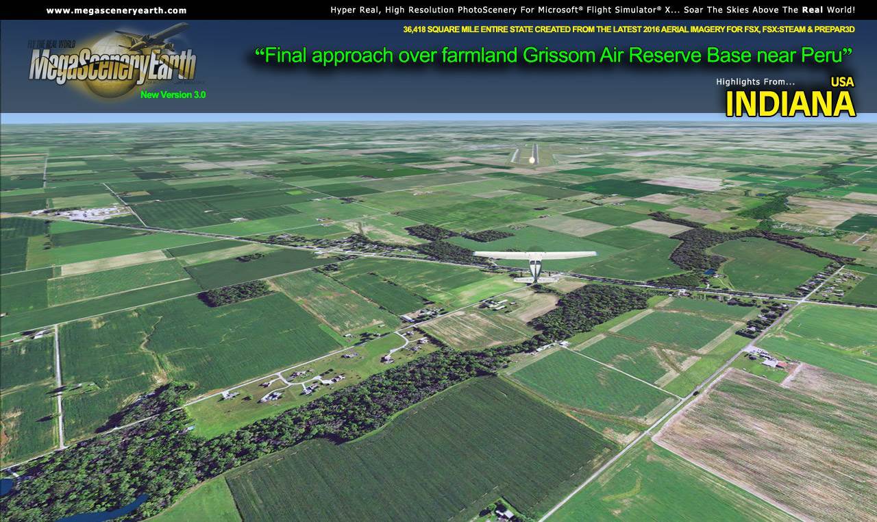
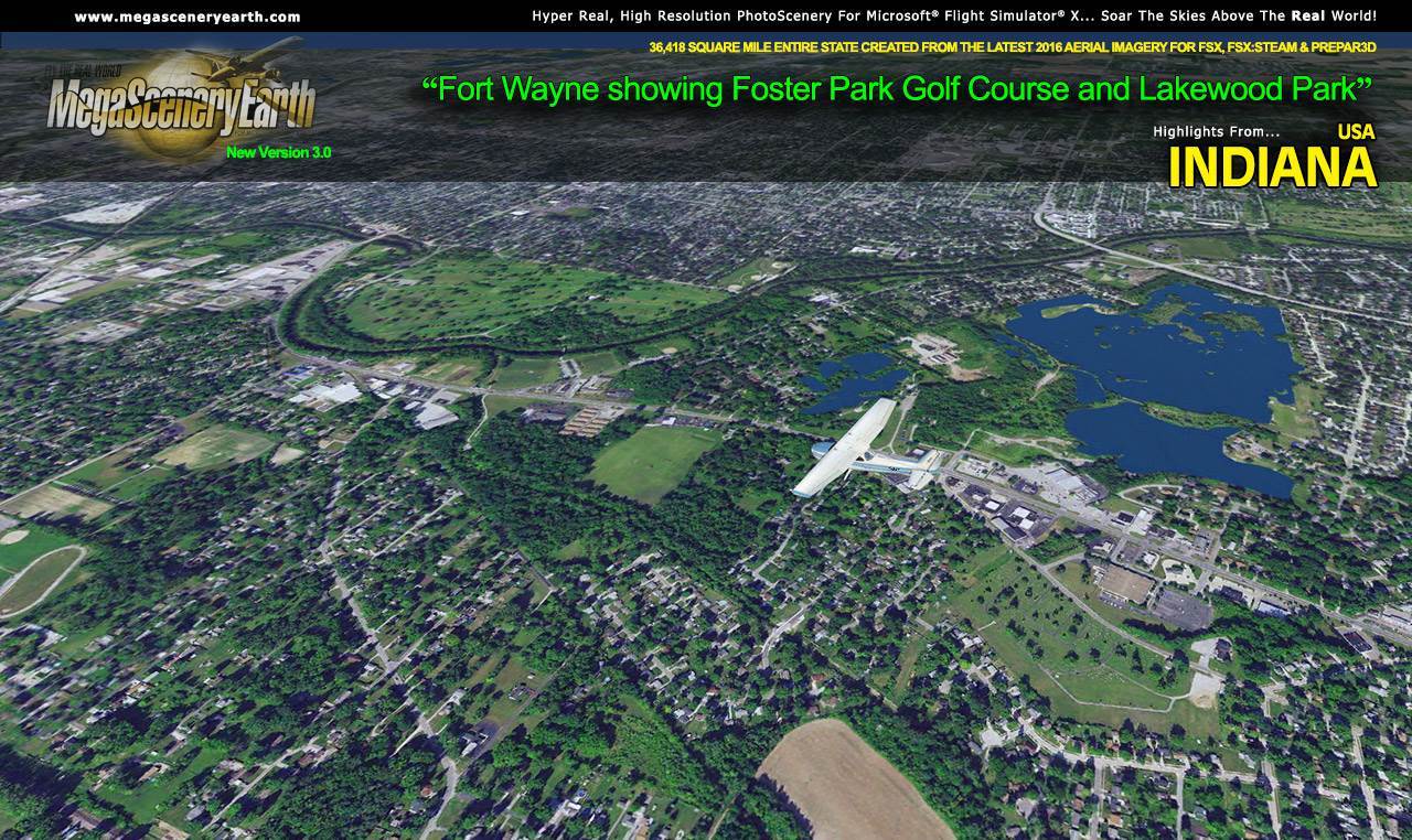
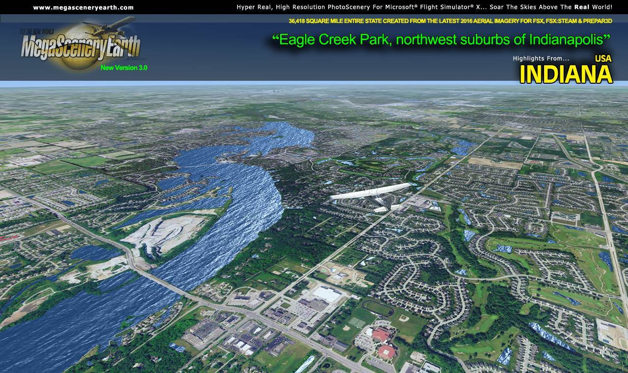
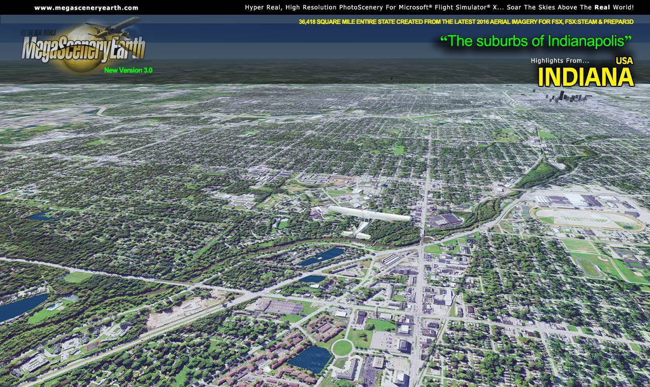
MegaSceneryEarth 3 - Indiana
|
MegaSceneryEarth 3 - Indiana


Search
Categories
- DEALS & DISCOUNTS!
- MS Flight Simulator 2020
- => NEW ADDITIONS
- => CLEARANCE ITEMS
- Flight Sim X Addons
- Prepar3D Addons
- FSX:Steam Addons
- X-Plane Addons
- Flight Sim 2004 Addons
- Other Flight Sim Addons
- MegaSceneryEarth
- Flight Simulators
- Air Traffic Control
- System Utility
- Flight Training Software
- PC Aviator Brand Titles
-
Boxed Software
- Flight Sim X Addons
- Flight Sim 2004 Addons
- Flight Simulators
- X-Plane Addons
- Prepar3D Addons
- Flight Training Software
- System Utility
- Flight Controls & Home Cockpit
- Books & Magazines
- Aviation Videos
OTHER
Your cart
Your account
Bestsellers
- MegaSceneryEarth 3 - Indiana
- Landscapes USA Indiana
- Indianapolis Executive Airport (KTYQ) MSFS
- 1st Indiana Regional Airports Pack
- Greenwood Municipal Airport (KHFY)
- USCitiesX - Indianapolis
- DreamScenery Indianapolis International Airport X
- Indianapolis Executive Airport (KTYQ)
- DreamScenery Indianapolis International Airport
- Dreamscenery Indianapolis X
-->
Users online:
534
shopping
,
2
checking out
Powered by X-Cart php shopping cart
Copyright © 1999-2024 PC Aviator Inc