The first in the brand new High Altitude MegaSceneryEarth series! To mark the launch of this new series everyone can get this title for FREE with the purchase of any other title from the PC Aviator store for the entire month of JUNE. Simply add this title to your cart and then when you add the next title to your shopping cart - This title will be FREE. (excluding DVD mastering if you choose it).
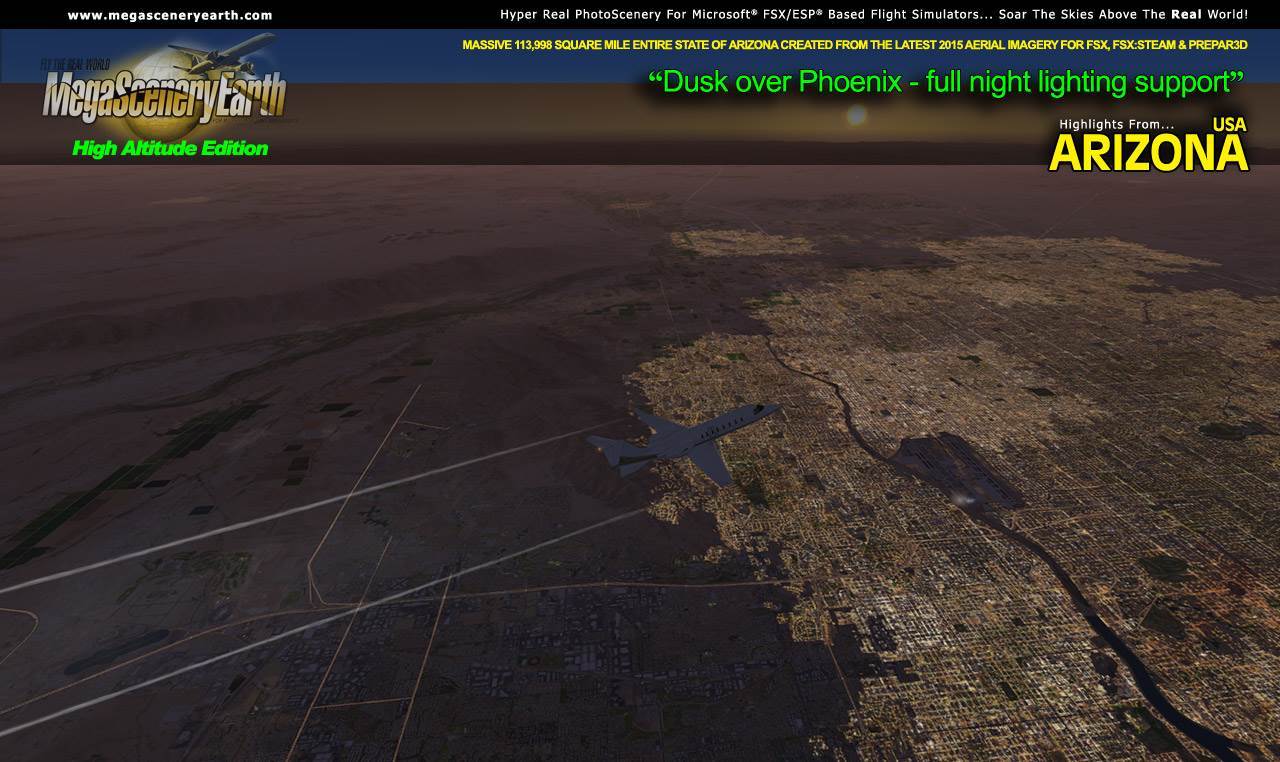
Arizona Version 3 - High Altitude Edition - gives you the entire state of Arizona created at a resolution optimized for high altitude flight (10,000 ft and above). All other aspects of this title are identical to the high resolution VFR version except that it has been resampled to 4.75 meters per pixel as opposed to 1.19 meters per pixel in the high resolution VFR title.
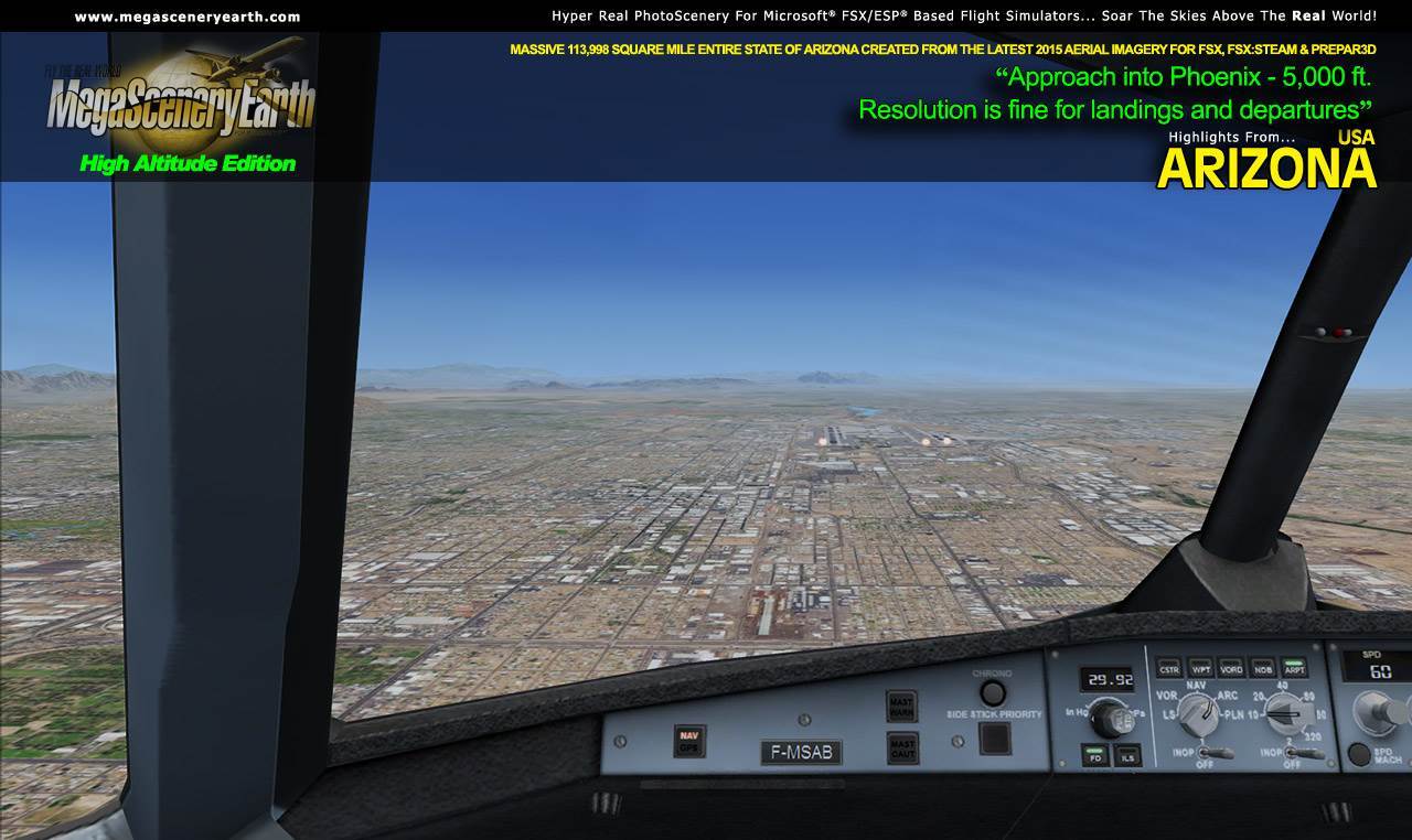
If you spend most of your time flying airliners, business jets and other aircraft above 10,000 ft and are not concerned with higher resolution at lower altitudes then this may be the product you are looking for to fly the Arizona skies. The resolution at altitudes below 10,000 is still quite satisfactory as a result of the clarity of the original high resolution imagery which maintains a lot of detail even after the lower resolution resampling. Still quite good for final approach and landing after you have stepped down from the Flight Level altitudes.
The High Altitude series occupies only 1/16 the drive space of the high resolution VFR series.
Note: If you own the high resolution VFR series you do not need this title since the resolution is mipmapped in the high res VFR version as you climb to altitude.
If you purchase this title and wish to upgrade to the high resolution VFR version at some time in the future, you can upgrade and use a coupon code we will send you with your purchase and the price of this title ($9.95) will be deducted off the high resolution VFR title.
This title is created from the same original image as the high resolution VFR title and is from the latest 2015 aerial photography data for Arizona.
As with all MegaSceneryEarth titles, you also get all the official FAA aeronautical charts (VFR and IFR) for the area in digital PDF format to enable you to get the most out of your scenery. This includes 3 Sectionals, 4 IFR enroute charts, and a 262 page book of Instrument Approach plates, Airport Diagrams, SIDs and STARs, and an Airport Facility Directory. The charts are downloadable along with your scenery files.
Some of the cities and landmarks you'll get to enjoy as you explore Arizona include:
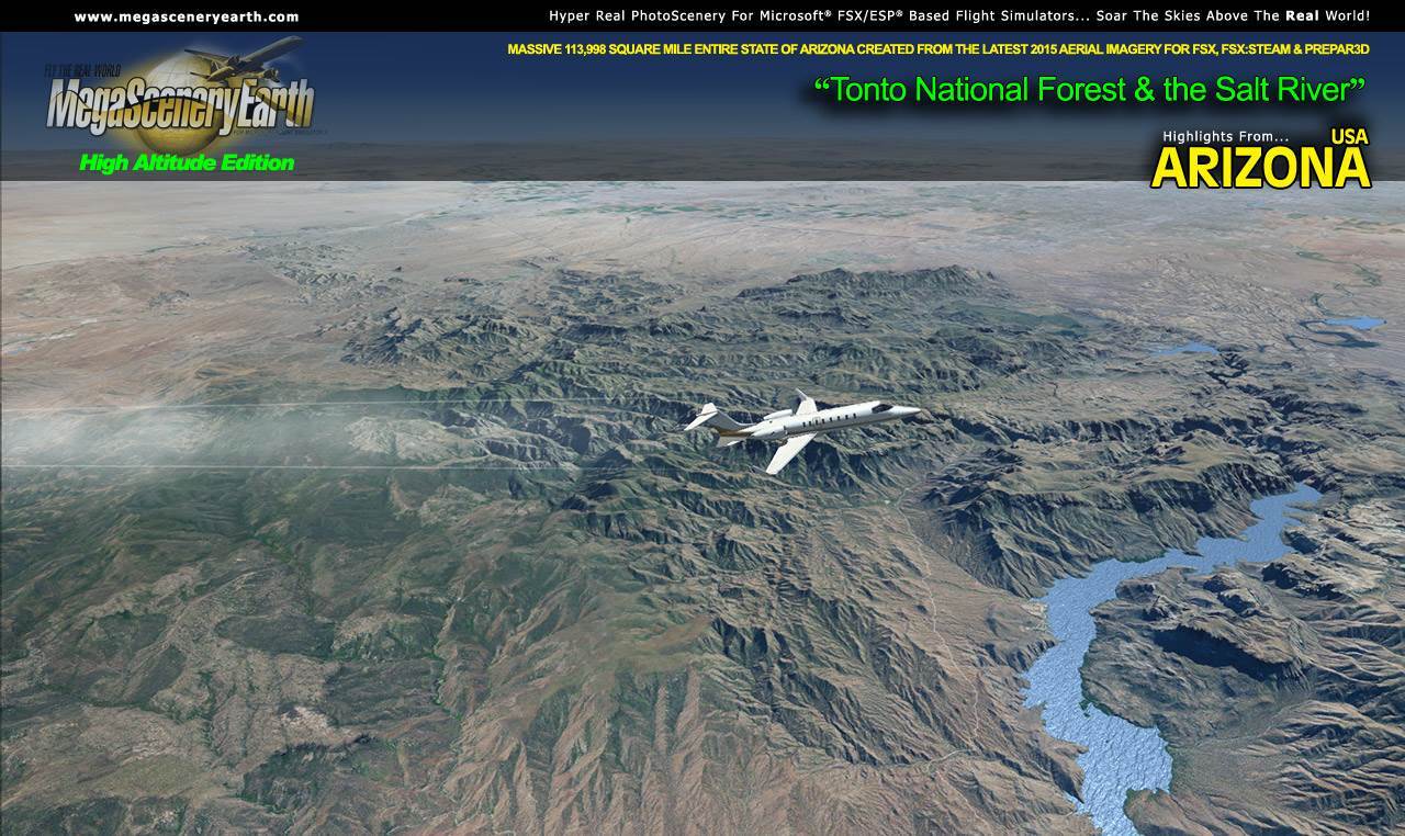
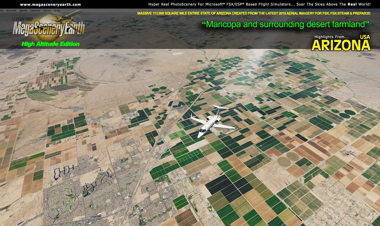
Cities: Phoenix, Tucson, Mesa, Glendale, Scottsdale, Chandler, Tempe
Lakes & Water Bodies: Lake Mead, Lake Havasu, Lake Mohave, Theodore Roosevelt Lake, San Carlos, Lake Powell
Mountains & Hills: Humphreys Peak (12,562 ft), Agassiz Peak, San Francisco Mountain. Fremont Peak, Aubineau Peak, Rees Peak and a total of 50 other peaks and mountains above 9,500 feet.
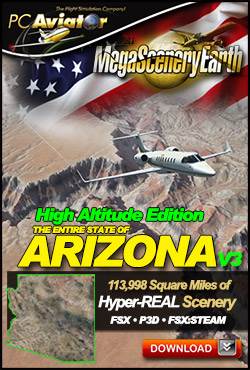
State Parks & National Forests: Apache-Sitgreaves, Coconino, Coronado, Kaibab, Prescott and Tonto National Forests.
Major Rivers: Colorado, Little Colorado, Gila, Bill Williams River
Other Major Landmarks: The Grand Canyon, Meteor Crater, Mojave Desert
Discover the rest of it all for yourself! There's a LOT to see!
This is a download edition with the option to order a DVD disk set (2 discs).
When you order the DVD disk set you will still receive download links. If you do not wish to download, simply wait for your DVDs to arrive in the mail.
THIS TITLE COMES WITH A FULL SET OF FAA AERONAUTICAL CHARTS FOR Arizona IN PDF FORMAT.
Here's what you get (download links for charts will be given to you with your product download):
SECTIONAL CHARTS: Denver, Las Vegas, Phoenix
TERMINAL AREA CHART: Phoenix
LOW ALTITUDE IFR CHARTS: ELUS-05/ELUS-06, ELUS-07/ELUS-08, ELUS-09/ELUS-10
HIGH ALTITUDE IFR CHARTS: EHUS-03/EHUS-04
AIRPORT FACILITY DIRECTORY: A FULLY INDEXED 49 PAGE PDF BOOKLET
APPROACH CHARTS & AIRPORT DIAGRAMS: A FULLY INDEXED 262 PAGE PDF BOOKLET
PREPAR3D V4 Installers coming soon. In the meantime, simply install and then in P3D V4 manually add to your scenery library.
|