Photo_Aligned_Airports_Georgia.zip (612.5 kB)
FREE DOWNLOAD: PhotoAligned Airports Courtesy Gene Lacy Datawings
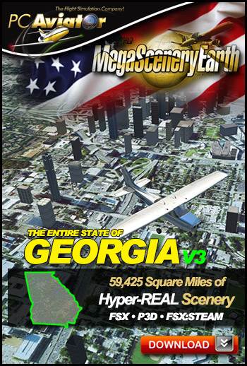
The New MegaSceneryEarth Georgia V3 featuring unsurpassed image sharpness, scenery color and clarity, improved scenery features with accurate additional water bodies and topographical data and the latest aerial imagery available taken in 2015.
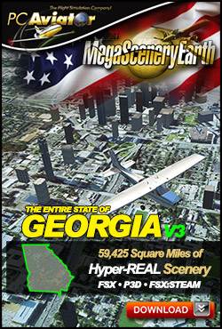
Fly the entire state - BORDER to BORDER - of Georgia in photoreal detail.
Georgia is a massive 59,425 square miles in size and has 349 airports. You'll see everything that you see in Georgia in real life in the scenery.
As an added bonus, we now provide all the VFR and IFR charts in digital PDF format to enable you to get the most out of your scenery. This includes TACs and Sectionals, IFR enroute charts and 650 page book of Instrument Approach plates, Airport Diagrams, SIDs and STARs. The charts are downloadable along with your scenery files.
Some of the cities and landmarks you'll get to enjoy as you explore Georgia include:
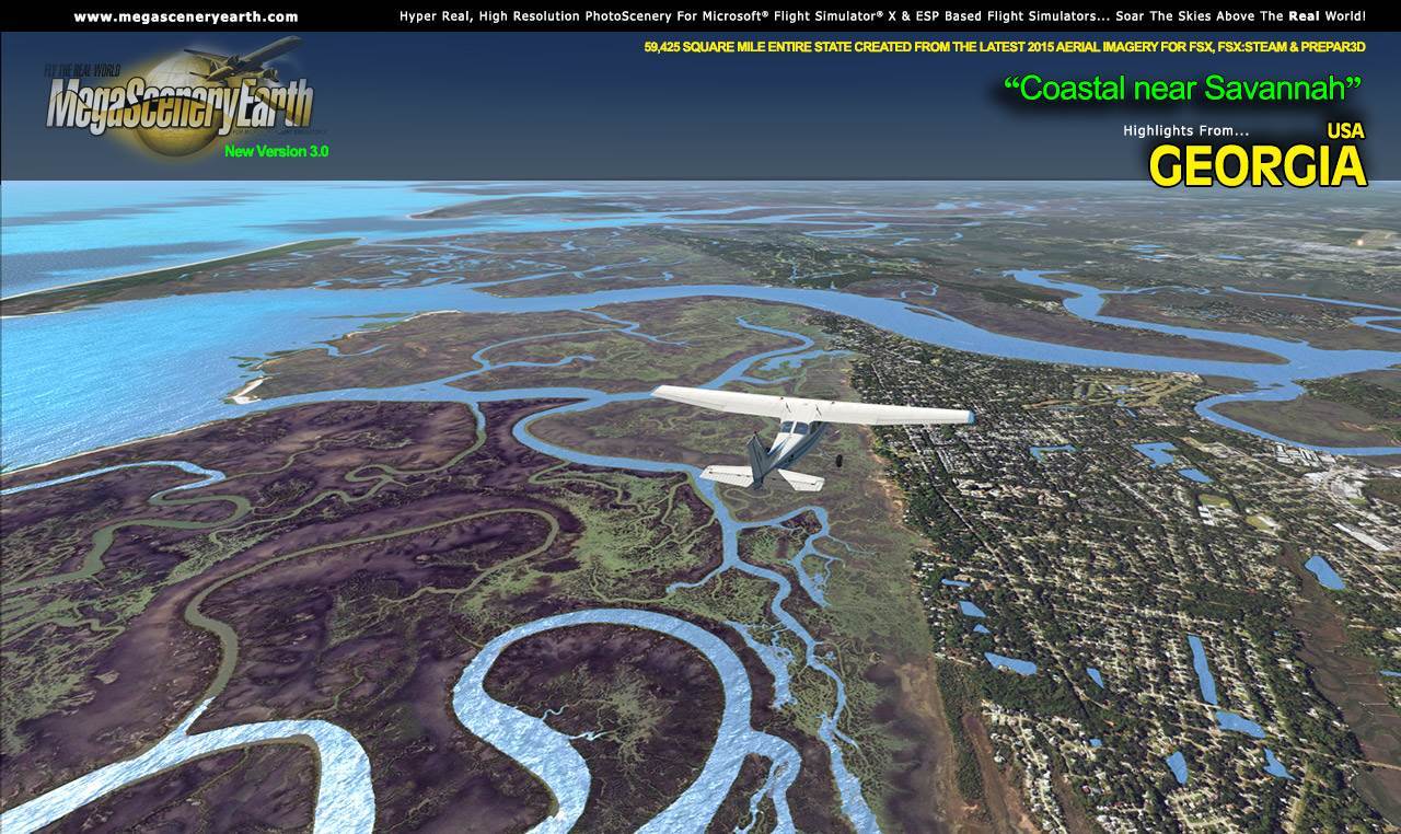
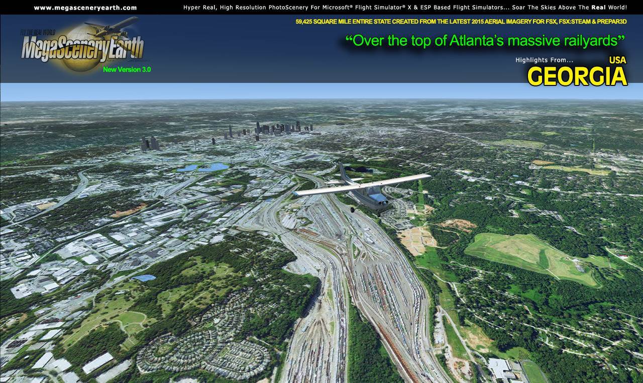
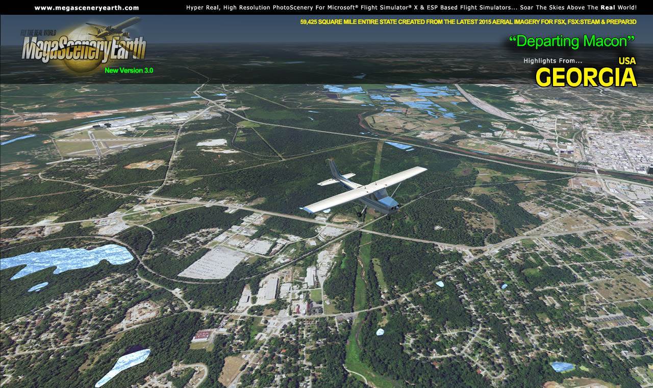
Cities: Atlanta, Augusta, Columbus, Savannah, Athens, Macon, Marietta
Lakes: Lake Lanier, West Point Lake, Lake Seminole, Lake Oconee, Lake Sinclair, Blue Ridge Lake
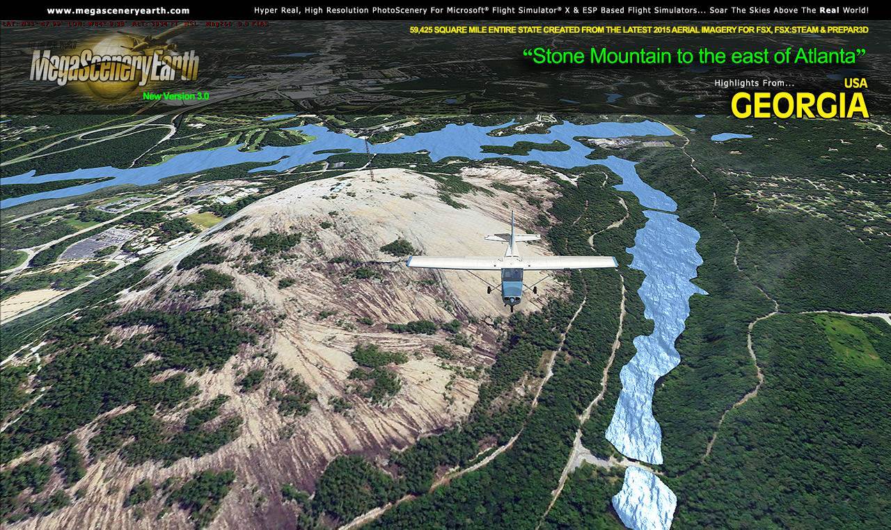
Mountains & Hills: Blue Ridge Mountains, Rabun Bald (4,695 ft), Dicks Knob, Blood Mountain, Tray Mountain, Slaughter Mountain, Chimney Top and 50 other peaks above 3800 ft.
State & National Parks & Forests: Chattahoochee-Oconee & Cohutta National Forests and numerous state parks and beautiful Blue Ridge mountain area,
Major Rivers: Savannah, Oconee, Flint, Satilla, Etowah, Ocmulgee
Some Other Major Highlights:
Georgia hosts the world's busiest airport - Atlanta International (KATL) with over 92,000,000 passengers per year and 3,000 aircraft movements per day.
Beautiful Savannah - Georgia's most famous historic and tourist town
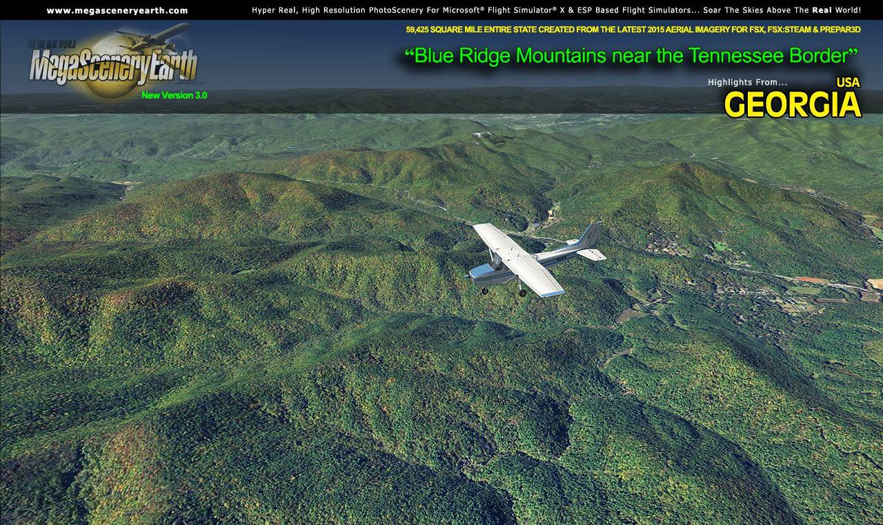
Blue Ridge Mountains and shared border with North Carolina's and Tennessee's mountains.
This is a download edition with the option to order a DVD disk set (9 discs).
When you order the DVD disk set you will still receive download links. If you do not wish to download, simply wait for your DVDs to arrive in the mail.
THIS TITLE COMES WITH A FULL SET OF FAA AERONAUTICAL CHARTS FOR Georgia IN PDF FORMAT.
Here's what you get (download links for charts will be given to you with your product download):
SECTIONAL CHARTS: Atlanta, Charlotte, Jacksonville
TERMINAL AREA CHARTS: Atlanta
LOW ALTITUDE IFR CHARTS: ELUS-17/ELUS-18, ELUS-21/ELUS-22 and ELUS-23/ELUS-24
HIGH ALTITUDE IFR CHARTS: EHUS-9/EHUS-10
APPROACH CHARTS & AIRPORT DIAGRAMS: A 650 PAGE PDF BOOKLET
NOTE: The screenshots below don't even scratch the surface of the scope and expanse of this scenery. Discover it all yourself when you purchase this scenery.
|