|
PC Aviator Inc
::
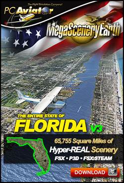
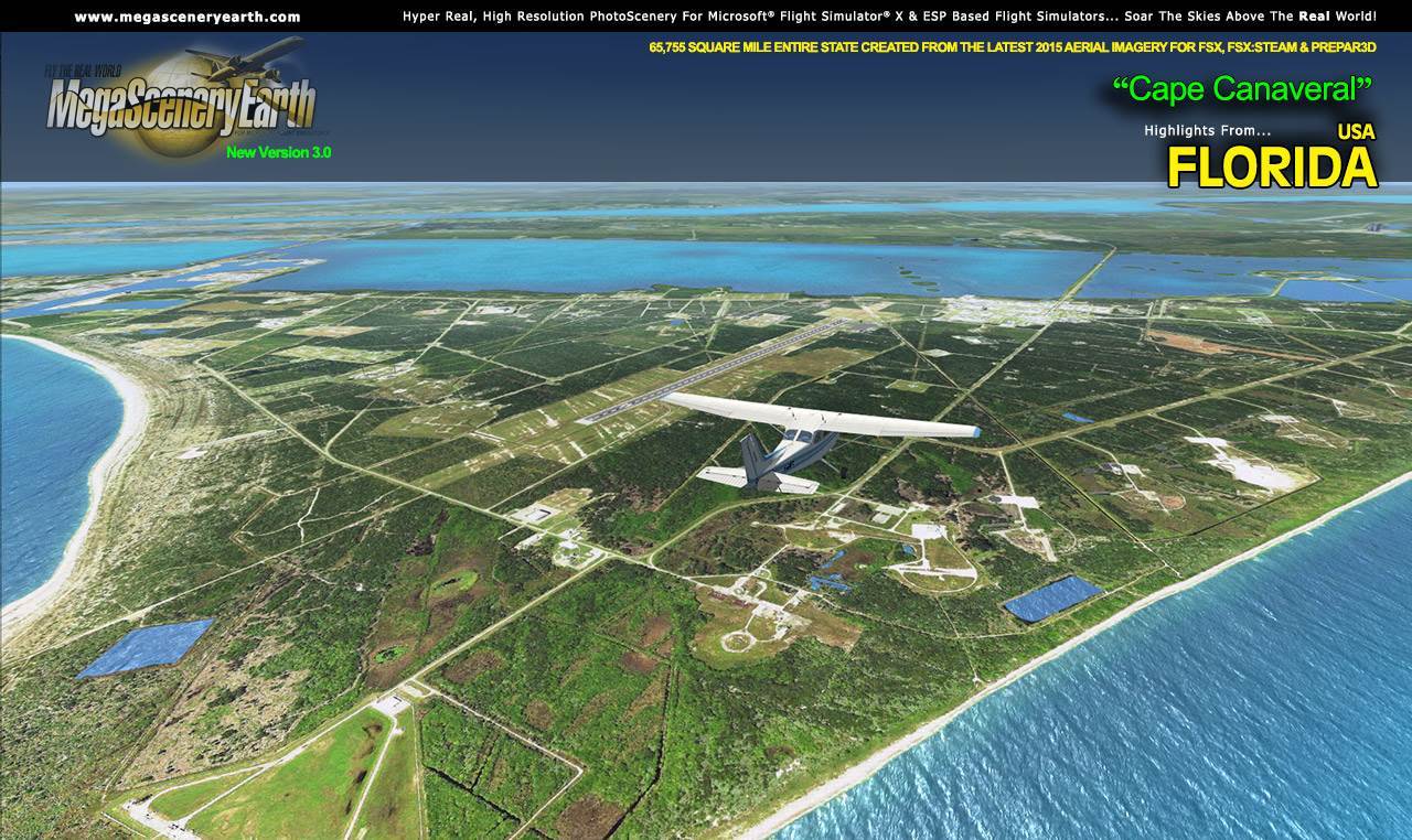
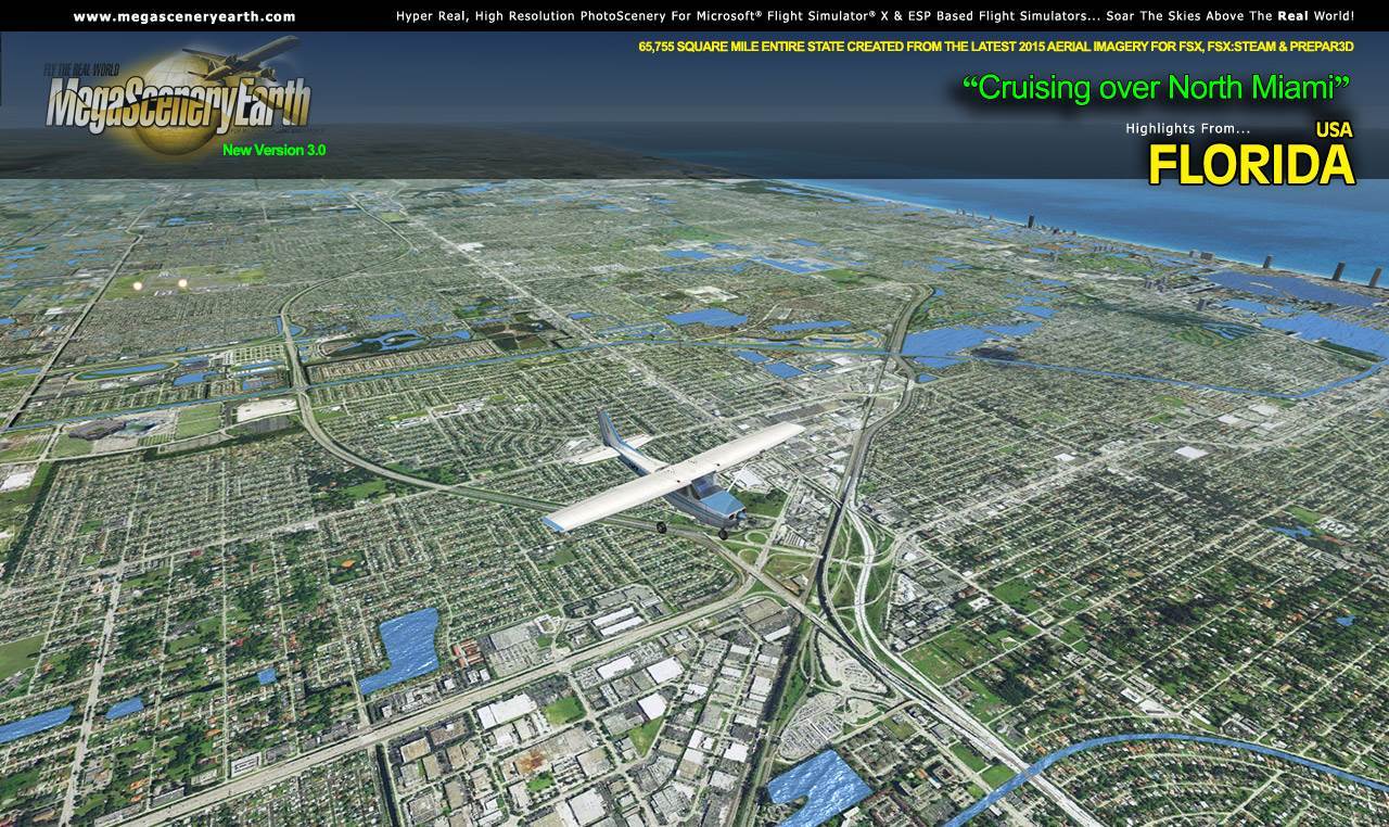
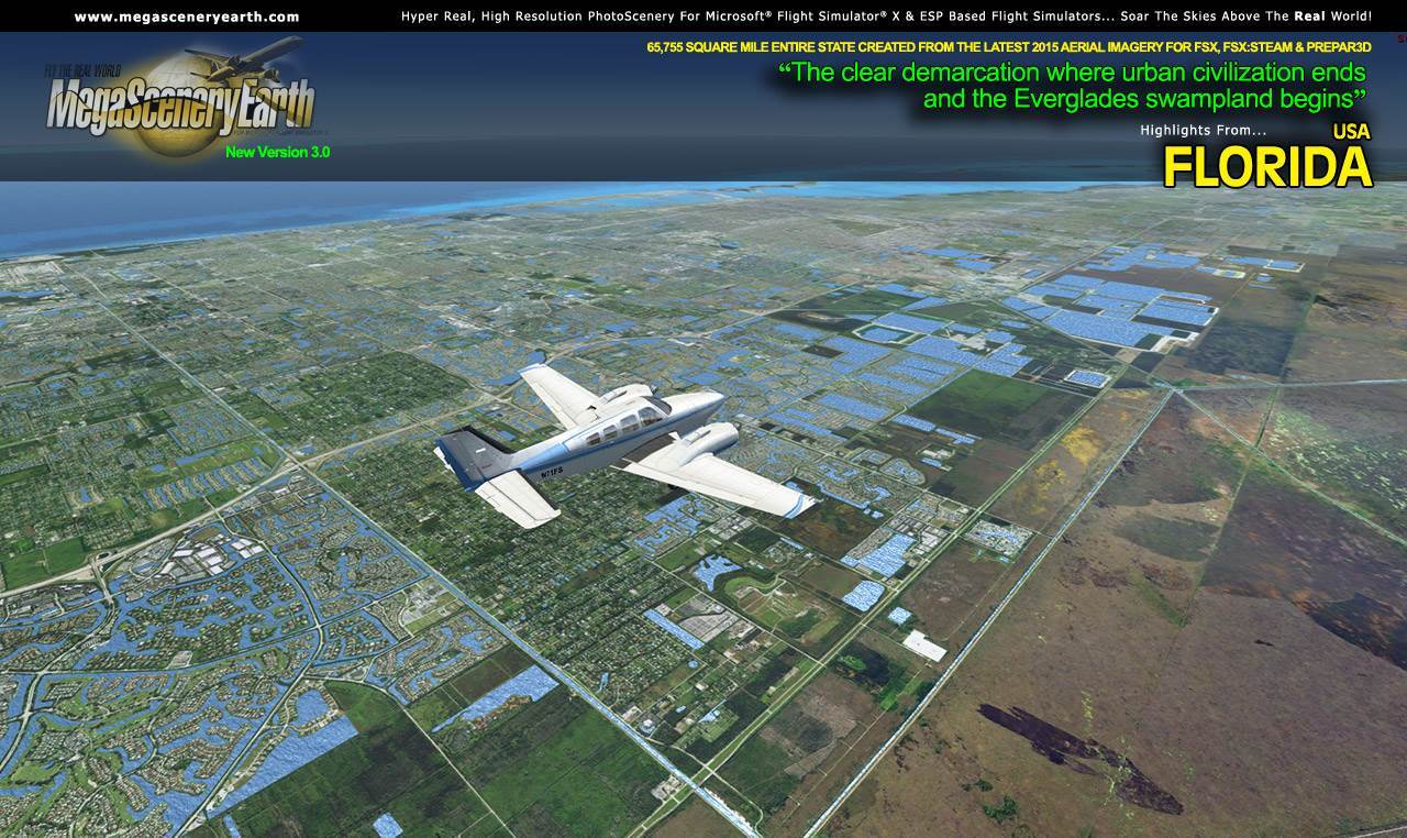
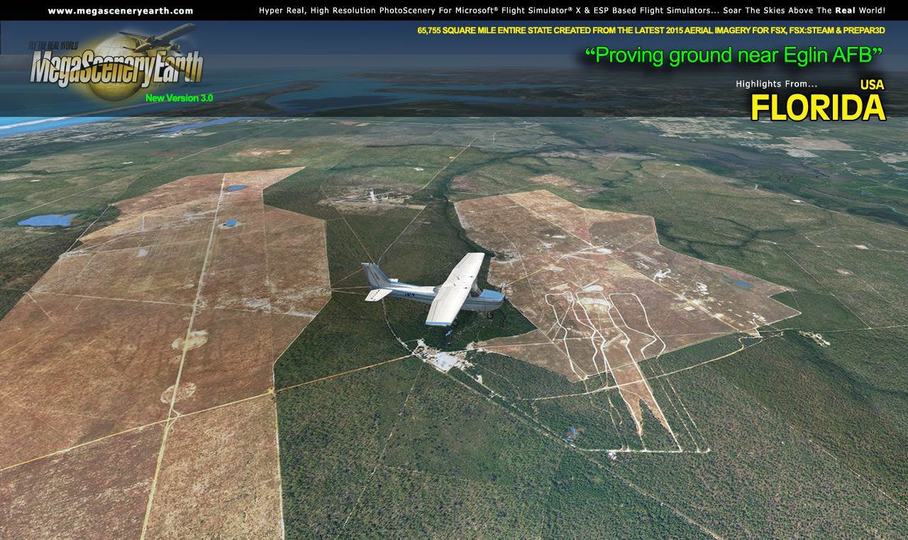
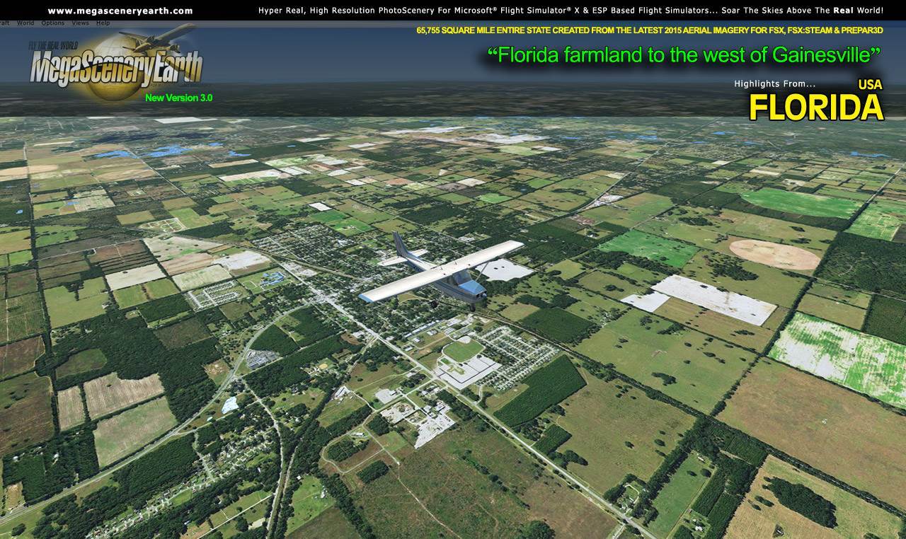
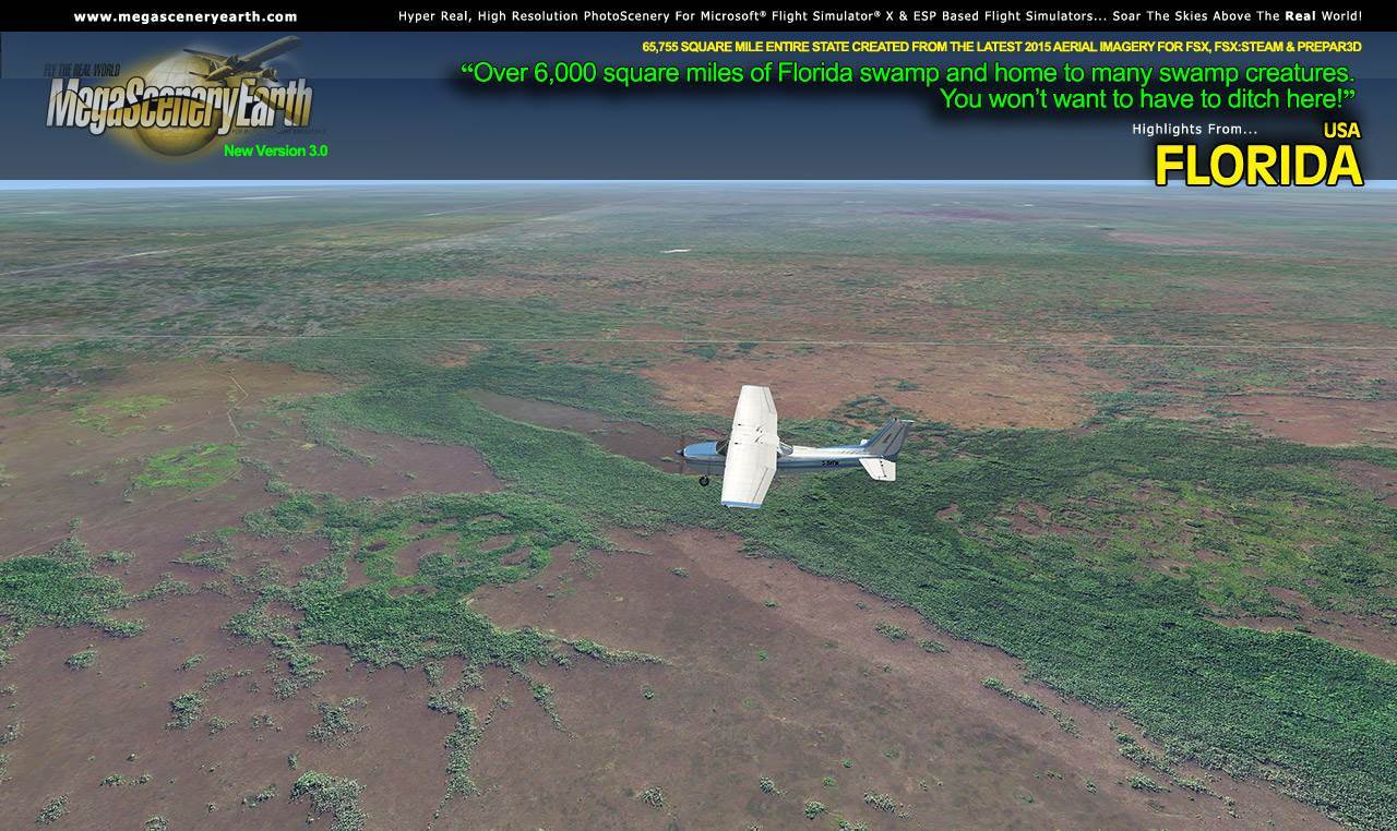
MegaSceneryEarth 3 - Florida
|
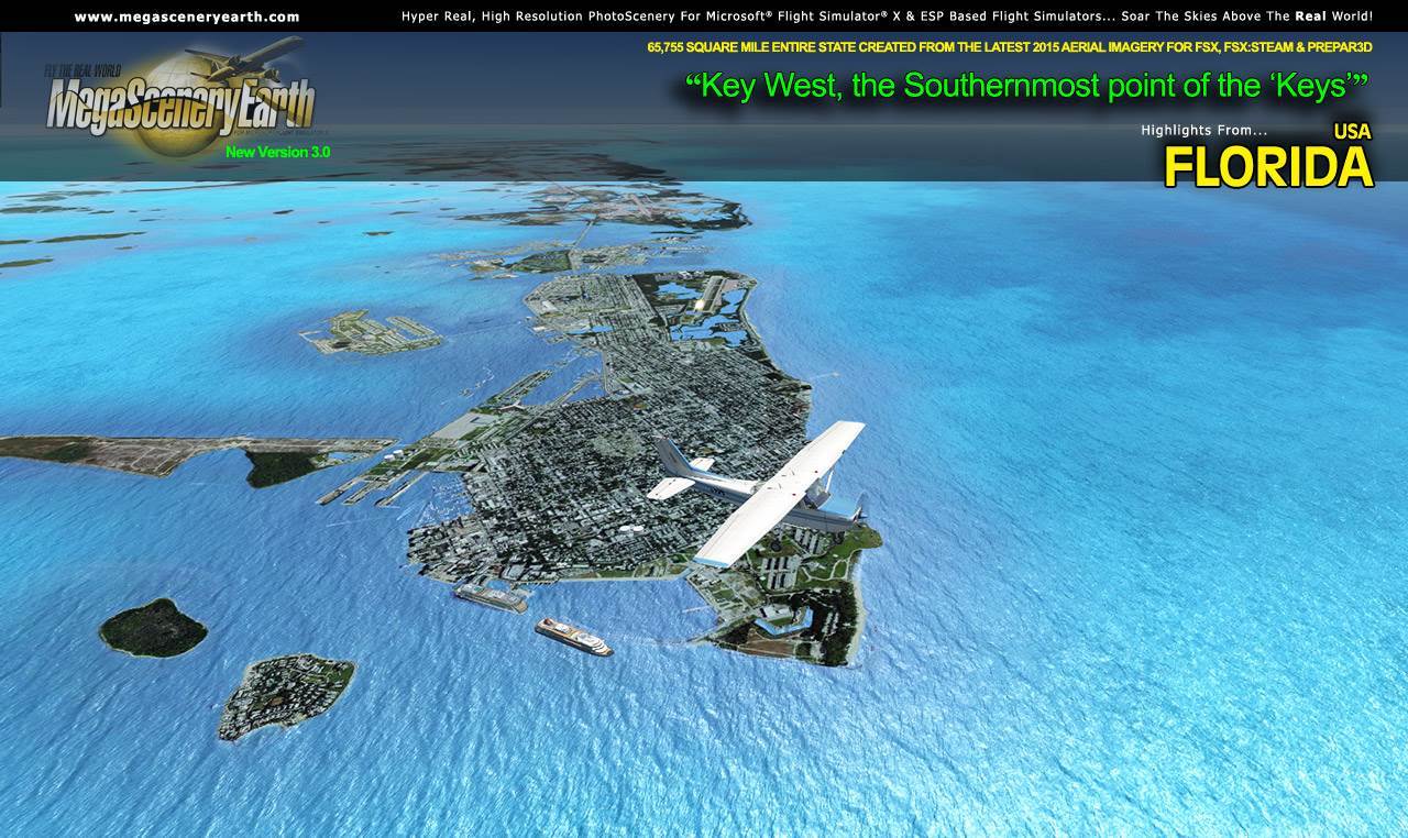
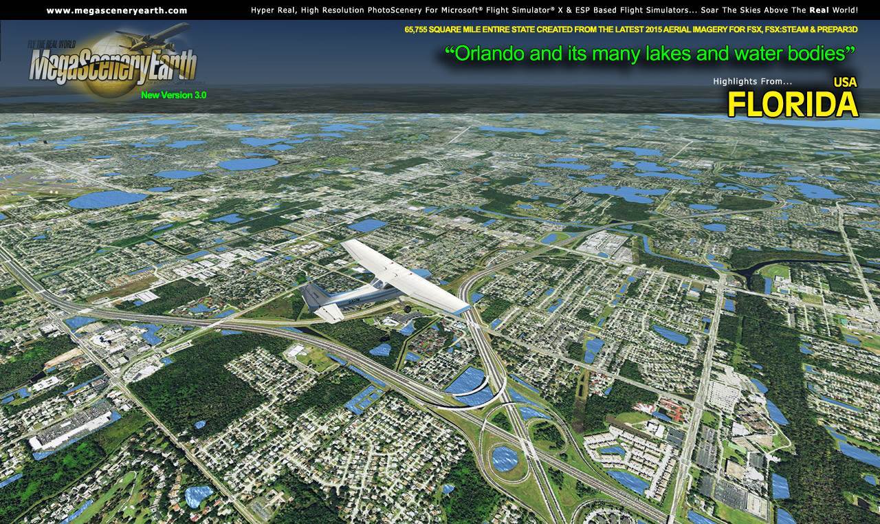
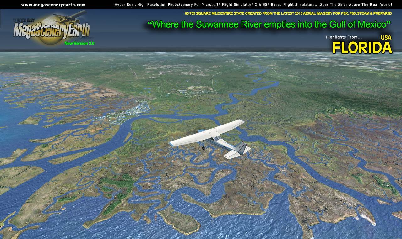
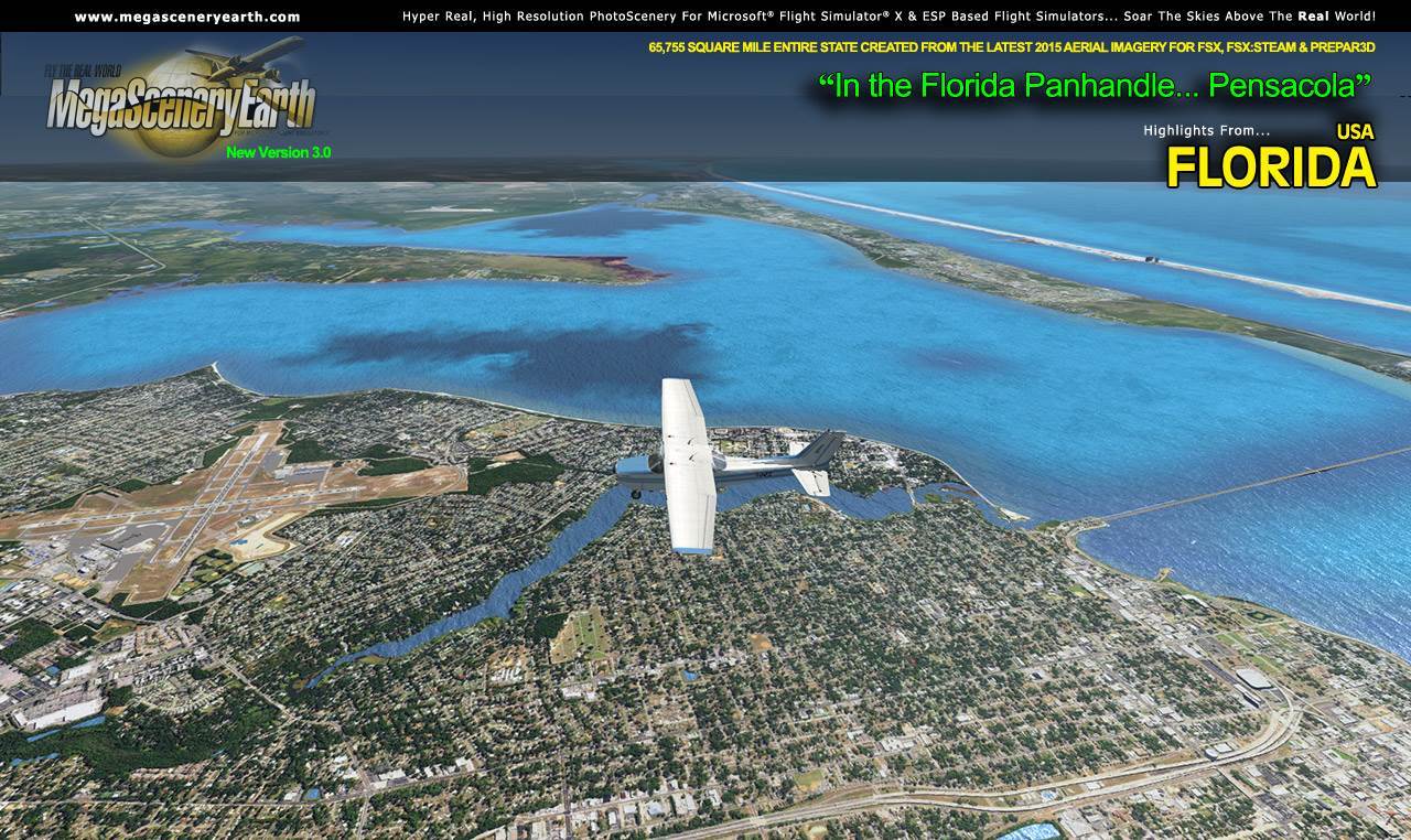
MegaSceneryEarth 3 - Florida

Related products
- Orlando Executive Airport (KORL)
- Key West International Airport V2 FSX/P3D
- Fort Lauderdale-Hollywood Airport (KFLL)
- Jacksonville International (KJAX)
- Pensacola International Airport (KPNS)
- Palm Beach International Airport (KPBI)
- St. PeteClearwater International Airport (KPIE)
- KMTH Florida Keys Marathon (KMTH)
Search
Categories
- DEALS & DISCOUNTS!
- MS Flight Simulator 2020
- => NEW ADDITIONS
- => CLEARANCE ITEMS
- Flight Sim X Addons
- Prepar3D Addons
- FSX:Steam Addons
- X-Plane Addons
- Flight Sim 2004 Addons
- Other Flight Sim Addons
- MegaSceneryEarth
- Flight Simulators
- Air Traffic Control
- System Utility
- Flight Training Software
- PC Aviator Brand Titles
-
Boxed Software
- Flight Sim X Addons
- Flight Sim 2004 Addons
- Flight Simulators
- X-Plane Addons
- Prepar3D Addons
- Flight Training Software
- System Utility
- Flight Controls & Home Cockpit
- Books & Magazines
- Aviation Videos
OTHER
Your cart
Your account
-->
Users online:
564
shopping
,
1
checking out
Powered by X-Cart php shopping cart
Copyright © 1999-2024 PC Aviator Inc