|
PC Aviator Inc
::
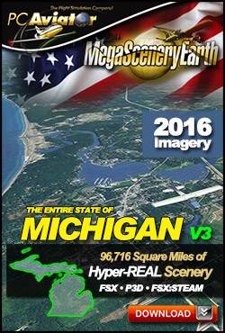
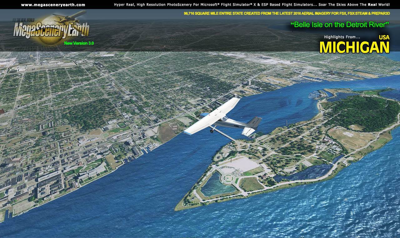
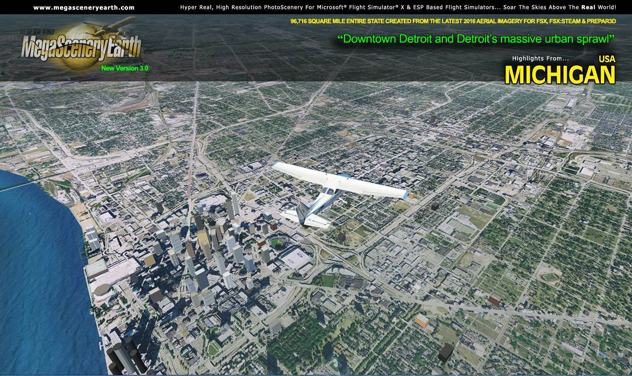
MegaSceneryEarth 3 - Michigan
|
MegaSceneryEarth 3 - Michigan


Search
Categories
- DEALS & DISCOUNTS!
- MS Flight Simulator 2020
- => NEW ADDITIONS
- => CLEARANCE ITEMS
- Flight Sim X Addons
- Prepar3D Addons
- FSX:Steam Addons
- X-Plane Addons
- Flight Sim 2004 Addons
- Other Flight Sim Addons
- MegaSceneryEarth
- Flight Simulators
- Air Traffic Control
- System Utility
- Flight Training Software
- PC Aviator Brand Titles
-
Boxed Software
- Flight Sim X Addons
- Flight Sim 2004 Addons
- Flight Simulators
- X-Plane Addons
- Prepar3D Addons
- Flight Training Software
- System Utility
- Flight Controls & Home Cockpit
- Books & Magazines
- Aviation Videos
OTHER
Your cart
Your account
Bestsellers
- MegaSceneryEarth 3 - Michigan
- Traverse City Airport (KTVC)
- Traverse City Airport (KTVC) MSFS
- US Cities X - Detroit
- Kalamazoo Battle Creek International Airport (KAZO) MSFS
- Detroit City Airport (KDET)
- Gerald R Ford International Airport (KGRR) MSFS
- Gerald R. Ford International Airport (KGRR)
- Kalamazoo International Airport (KAZO)
- Landscapes USA Michigan
-->
Users online:
821
shopping
,
1
checking out
Powered by X-Cart php shopping cart
Copyright © 1999-2024 PC Aviator Inc