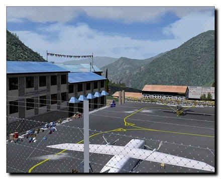
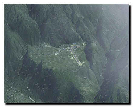
Lukla airport owes its existence to the fact it is located close to Mount Everest and that most climbers use it as the first station in the attempt to scale this massive mountain.
During the climbing season, October/November, the small aircraft (mostly Twin Otters) have to be off the airport in 15 minutes because there are only 4 parking spaces and there are probably other Twin Otters circling to land. It can really be a very, very busy airport. It is also the highest airport with scheduled airline flights in the word. Combine this with the fact that the airport is of course closed a lot due to weather and you will understand why it can be as busy as it is.
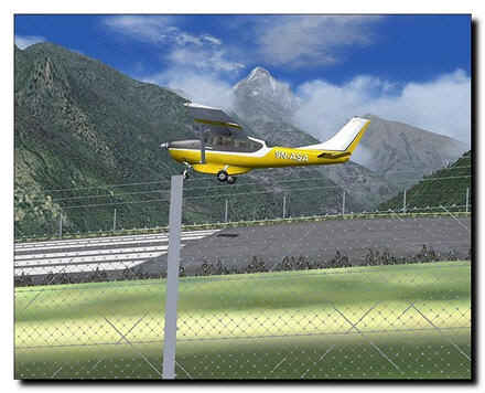
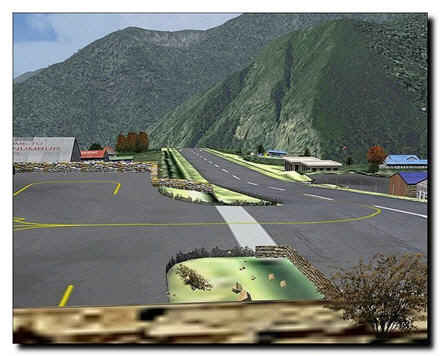
Flying into Lukla is dangerous and complex in perfect weather, most of our beta testers underestimated it and the hill side was soon covered in burning wrecks. They soon learned that anything you do at this altitude needs to be planned and considered. Landing on the runway that goes uphill means you have to flare in a completely different way. Taking off from the very short runway with an engine that probably delivers a lot less power then you would hope for, is only possible because the runway ends with a 3000 feet drop into the valley below (check out the waterfalls there!). Even the simple taxi to the very small platform is complex and not without danger as there is a steep bit of taxiway to climb onto. To be short, you will probably be frustrated and annoyed when you start using this airport. However when you know how to use it you will be a far better pilot and there will be a new region to discover.
Lukla - Airport at the top of the world features:
-
Lukla airfield with its spectacular very short, very sloping runway, at 9000 plus altitude.
-
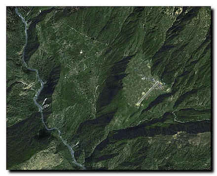
High definition mesh for the entire area.
-
Based on commercially available satellite image (expensive stuff, believe us).
-
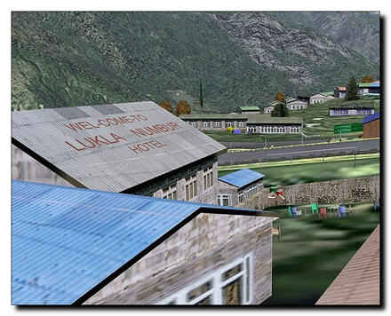
Lukla village in great detail.
-
Nearly all villages in the area at their exact location with every single house based on official Nepalese maps. Nepalese style and not standard autogen of course.
-
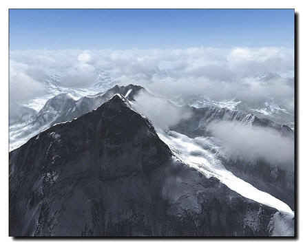
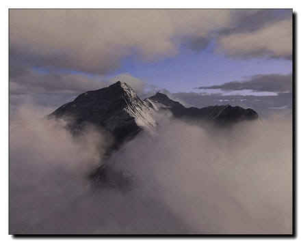
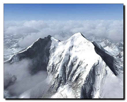
High resolution mesh terrain and texture resolution of Mt. Everest Mountain provided by no other commercial add-on
-
Mount Everest base camp (helicopter destination) and other camps higher on the mountain.
-
Two additional strips nearby; Phaplu and Syngboche (closed because of protests of the locals, but even higher than Lukla at 12286ft!)
-
Some of the villages have typical Nepalese stupas (shrines) and the famous Tengboche Monastery at the Everest trekking route is included.
-
Not a single road in the scenery!
-
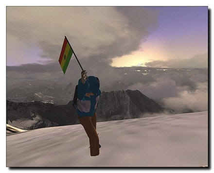
Two missions dangerous enough to get you killed.
-
Manually placed landclass, plus all rivers and lakes.
-
Extensive english manual, with chapters on high altitude operations (available in French, too).
System requirements:
-
Microsoft Flight Simulator 2004 Version 9.1 only!
-
2 GHz processor
-
512 MB RAM
-
128 MB graphic card
-
Download size: 31 MB
-
Install size: 75 MB
|