Looking for airport scenery in Southern California? SIM720's KCRQ McClellan-Palomar airport is located north of San Diego near the Legoland attraction and not far from the coast of the Pacific Ocean. It makes a great starting point for light to medium aircraft flights around the area. Buy and download SIM720's KCRQ airport scenery from PC Aviator today.
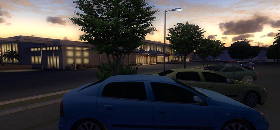
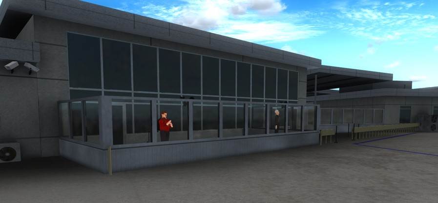
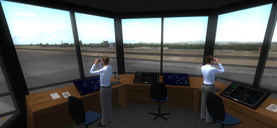
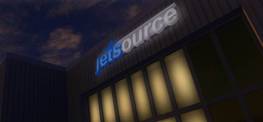
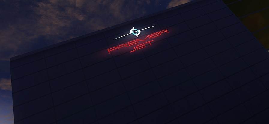
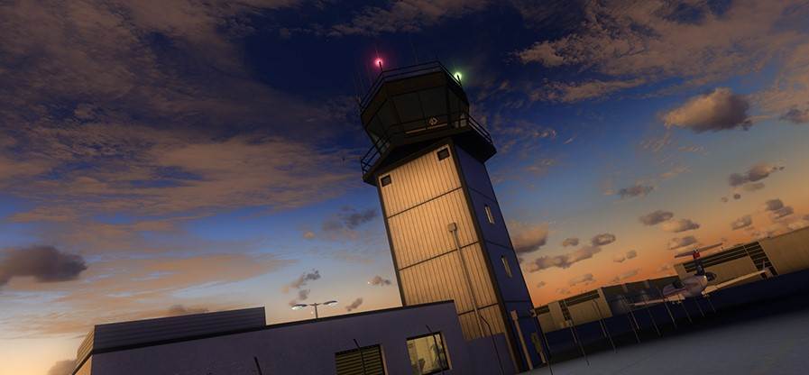
The SIM720 McClellan-Palomar download has been created as a replica of the real world site. The package includes a wealth of custom created and placed objects and a high resolution ground polygon. In addition the precision placement of runways and taxiways and the custom night-lighting provide incredibly realistic take-off and landing experiences.
The McClellan-Palomar Airport download has been designed for high compatibility and includes photo real blending with Default, Orbx Global and MegaScenery Earth California. It’s also DX10 compatible.
*Please note that the light spills on the groundpoly do not work in P3Dv2.
In March 2013 McClellan-Palomar was the fourth-busiest single runway airport in the United States.
McClellan–Palomar Airport (Palomar Airport - KCRQ) is a public airport three miles (5 km) southeast of Carlsbad in San Diego County, California. It is owned by the County of San Diego. The airport is used for general aviation and United Express operates scheduled airline flights.
Most U.S. airports use the same three-letter location identifier for the FAA and IATA, but McClellan–Palomar Airport is CRQ to the FAA and CLD to the IATA. The ICAO identifier is KCRQ. The airport is named for Gerald McClellan, an aviator and civic leader in San Diego's North County area. McClellan–Palomar Airport covers 466 acres (189 ha) and has one asphalt runway, 6/24, 4,897 ft × 150 ft (1,493 m × 46 m).
In 2008 the airport had 192,960 aircraft operations, an average of 529 per day: 89% general aviation, 7% air taxi, 3% scheduled commercial and 1% military. 325 aircraft are based at this airport: 61% single-engine, 24% jet, 11% multi-engine and 4% helicopter.
Features
-
High-res ground polygon.
-
Photo-real layout and textures (30cm resolution).
-
Hand placed hi-res buildings within airport boundaries.
-
Extensive library of airport clutter.
-
Animated People.
-
Accurate taxiway lanes.
-
Custom made static aircraft.
-
Custom night-lighting.
-
Compatible with Default, MegaSceneryEarth California and Orbx Global.
-
DX10 compatible.
-
Installs into FSX, P3D v1 - v4 and FSX:SE.
|