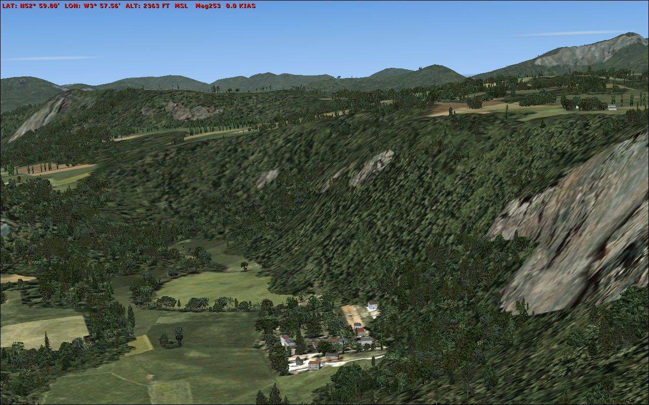
The 'ups and downs' you see in the Flight Simulator X terrain as you fly around are drawn using a grid of elevation points, calculated from the actual elevations in the real world. The data FSX uses to create the terrain is, by necessity, fairly low in detail. FSX covers the whole world and it is simply not practical to provide high resolution data for every part of it - the UK and most of Europe is modelled in FSX using a grid where all the elevation points are 76m apart.
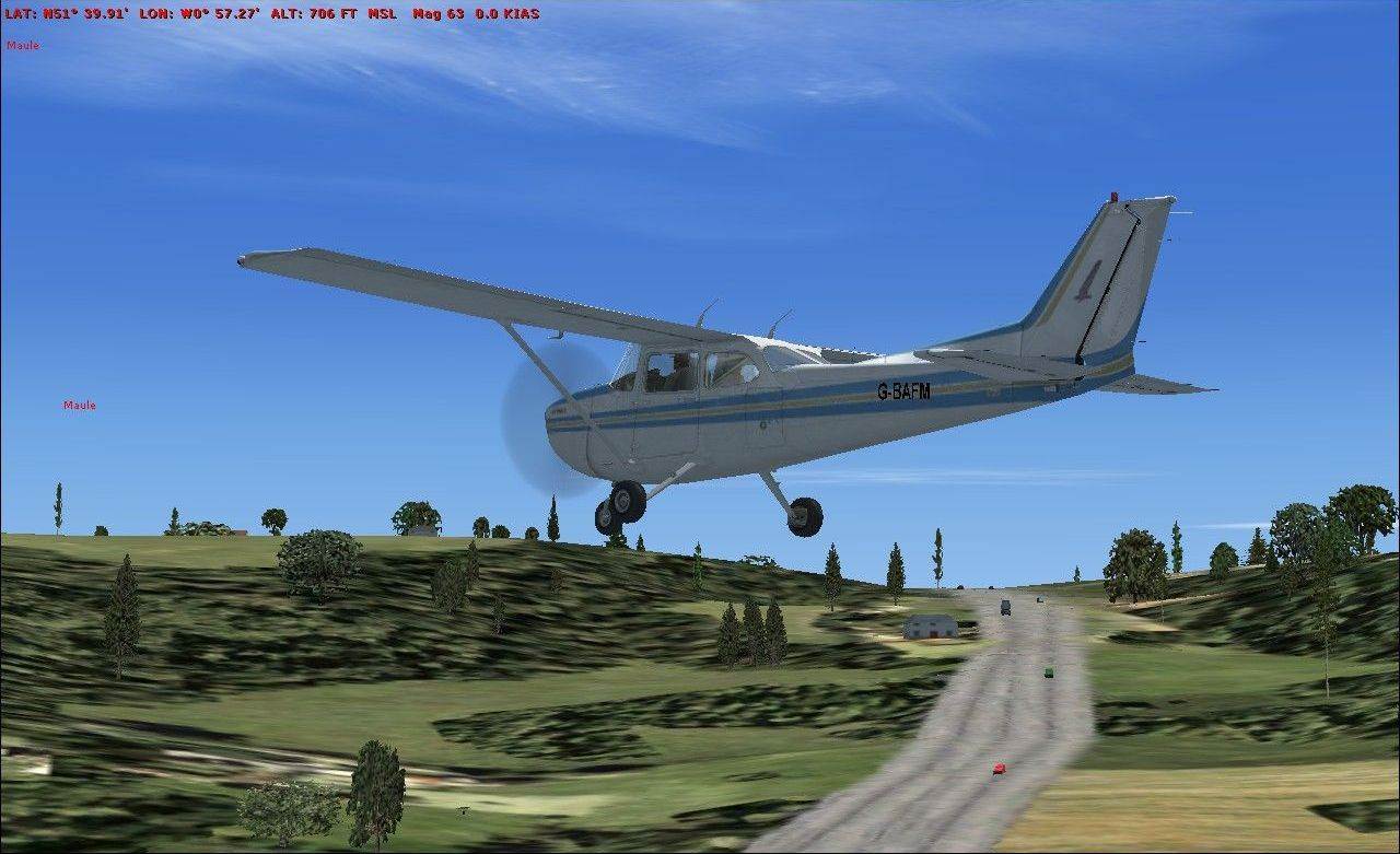
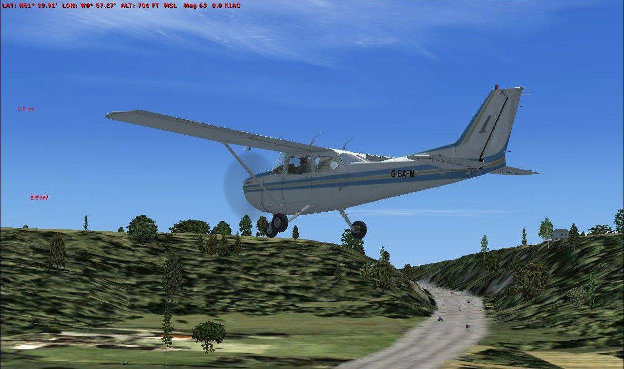
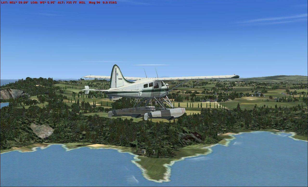
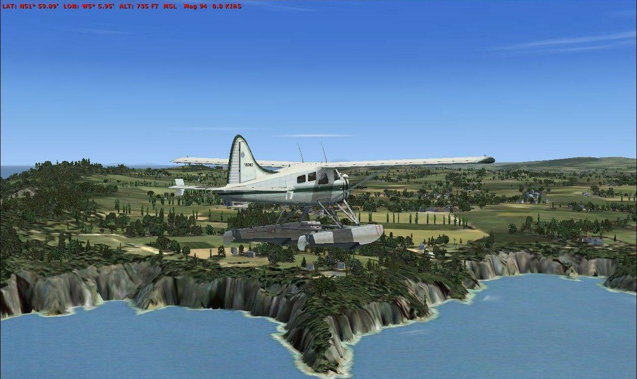
VFR Real Scenery England & Wales 10m mesh provides FSX with a much more detailed data grid for England and Wales. This results in FSX terrain data where the elevation points are 10m (actually 9.6m but FSX refers to it as 10m) apart. This means 64 times the detail for the default FSX terrain. Mountains will now show all their craggy grandeur and fine details such as railway cuttings, elevated roadways and riverbanks that were invisible before will spring into view.
Note: This terrain data is identical to that included in the VFR Real Scenery series, so if you have all four volumes this data will already be included.
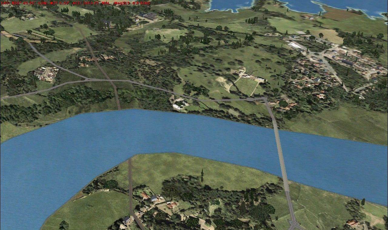
VFR Real Scenery England & Wales 10M Mesh compared to the default FSX mesh
The 'ups and downs' you see in the Flight Simulator X terrain as you fly around are drawn using a grid of elevation points, calculated from the actual elevations in the real world. This gives a good representation of the world. Where there are hills and mountains in the real world you will see similar changes in the ground elevation in FSX.
The data FSX uses to create the terrain is, by necessity, fairly low in detail. FSX covers the whole world and it is simply not practical to provide high resolution data for every part of it. Prominent landmarks like Mount Rushmore or the Grand Canyon are modelled using a much higher level of detail in the data than other parts of the world, but the majority of locations use data with a much coarser grid.
The UK and most of Europe is modelled in FSX using a grid where all the elevation points are 76m apart. This allows for reasonable representation of the terrain, but hills, valleys and mountains will appear much softer and smoother than they do in real life. Small hills may get missed entirely and peaks will often be lower than they should be simply because these fall between two elevation points.
VFR Real Scenery England & Wales 10m mesh provides FSX with a much more detailed data grid for England and Wales. This results in FSX terrain data where the elevation points are 10m (actually 9.6m but FSX refers to it as 10m) apart. This means 64 times the detail for the default FSX terrain. Mountains will now show all their craggy grandeur and fine details such as railway cuttings, elevated roadways and riverbanks that were invisible before will spring into view.
Requirements:
-
Microsoft Flight Simulator X
-
3.0GHz or any Dual Core
-
512Mb RAM
-
256Mb 3D graphics card
-
Windows 8 / 7 / XP / Vista
-
675Mb hard drive space
Note: This terrain data is identical to that included in ther VFR Real Scenery series, so if you have all four volumes this data will already be included.
|