The New MegaSceneryEarth Version 3 Arizona featuring unsurpassed image sharpness, scenery color and clarity, improved scenery features with accurate additional water bodies and topographical data and the latest aerial imagery available taken in 2015.
Fly the entire state - BORDER to BORDER - of Arizona in photoreal detail.
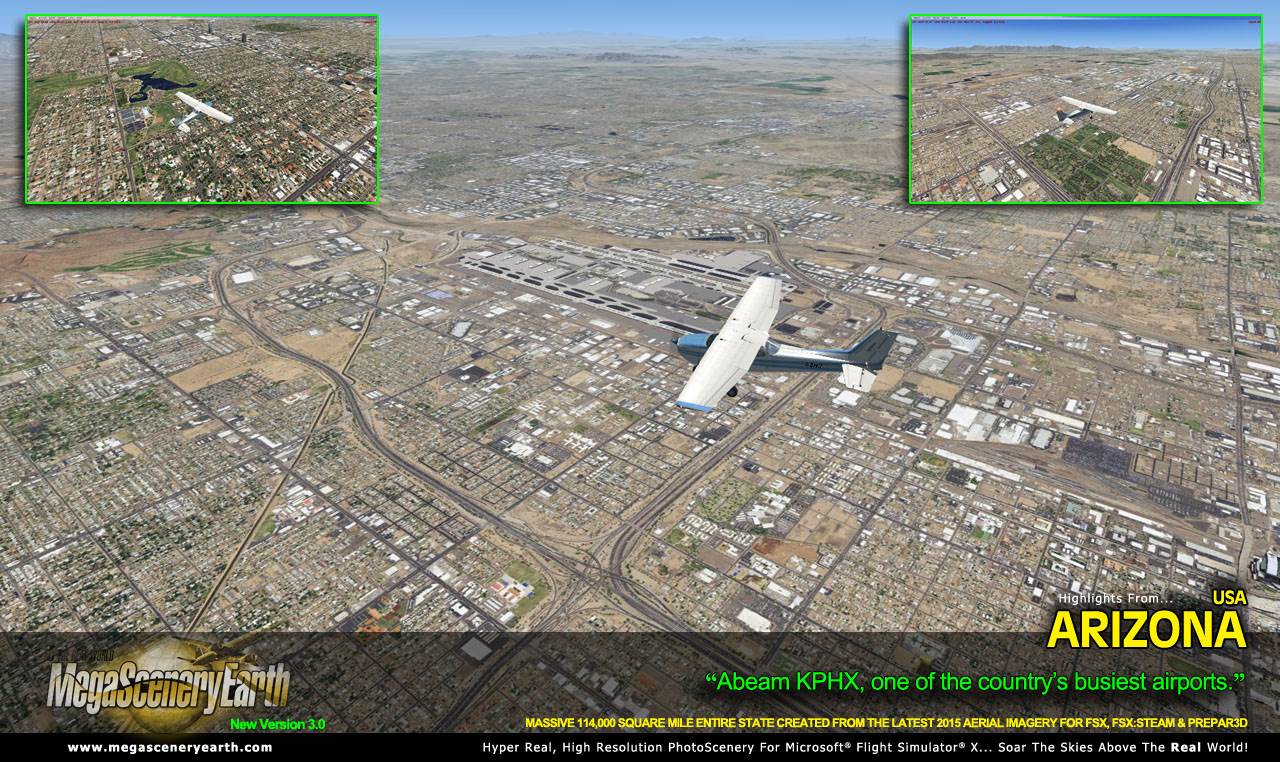
Arizona is the fifth largest state in the lower 48 at over 113,998 square miles in size and has 220 airports. You'll see everything that you see in Arizona in real life in the scenery.
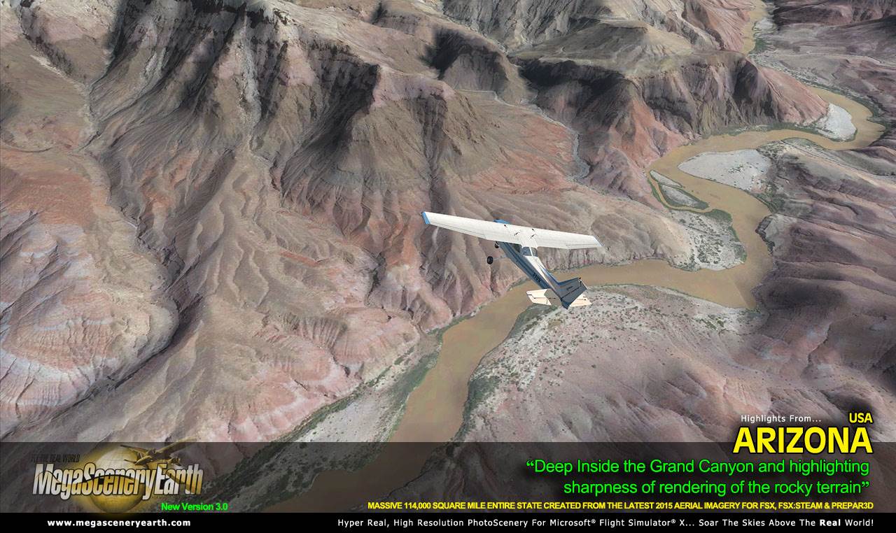
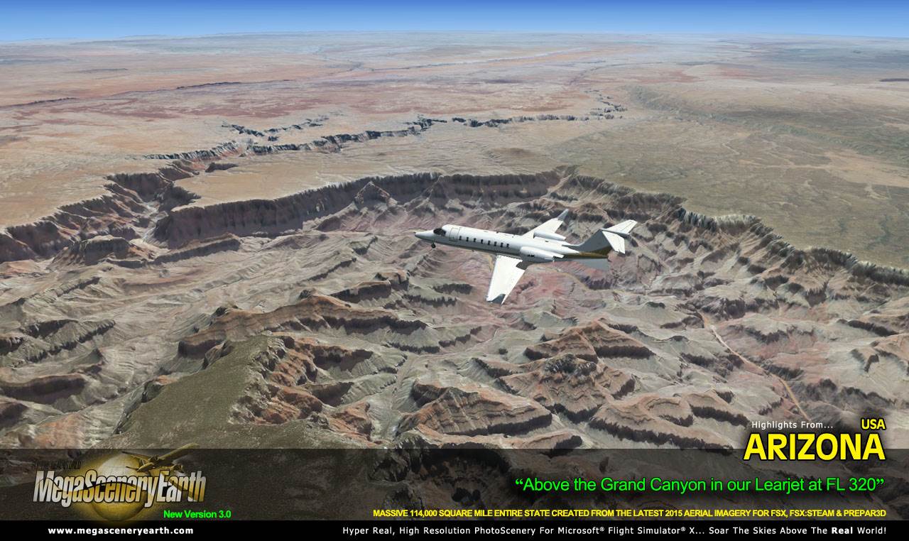
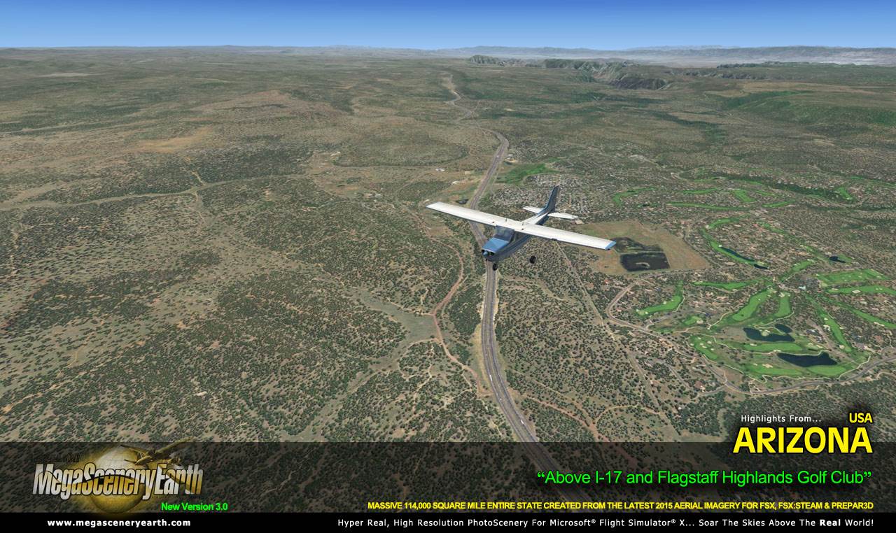
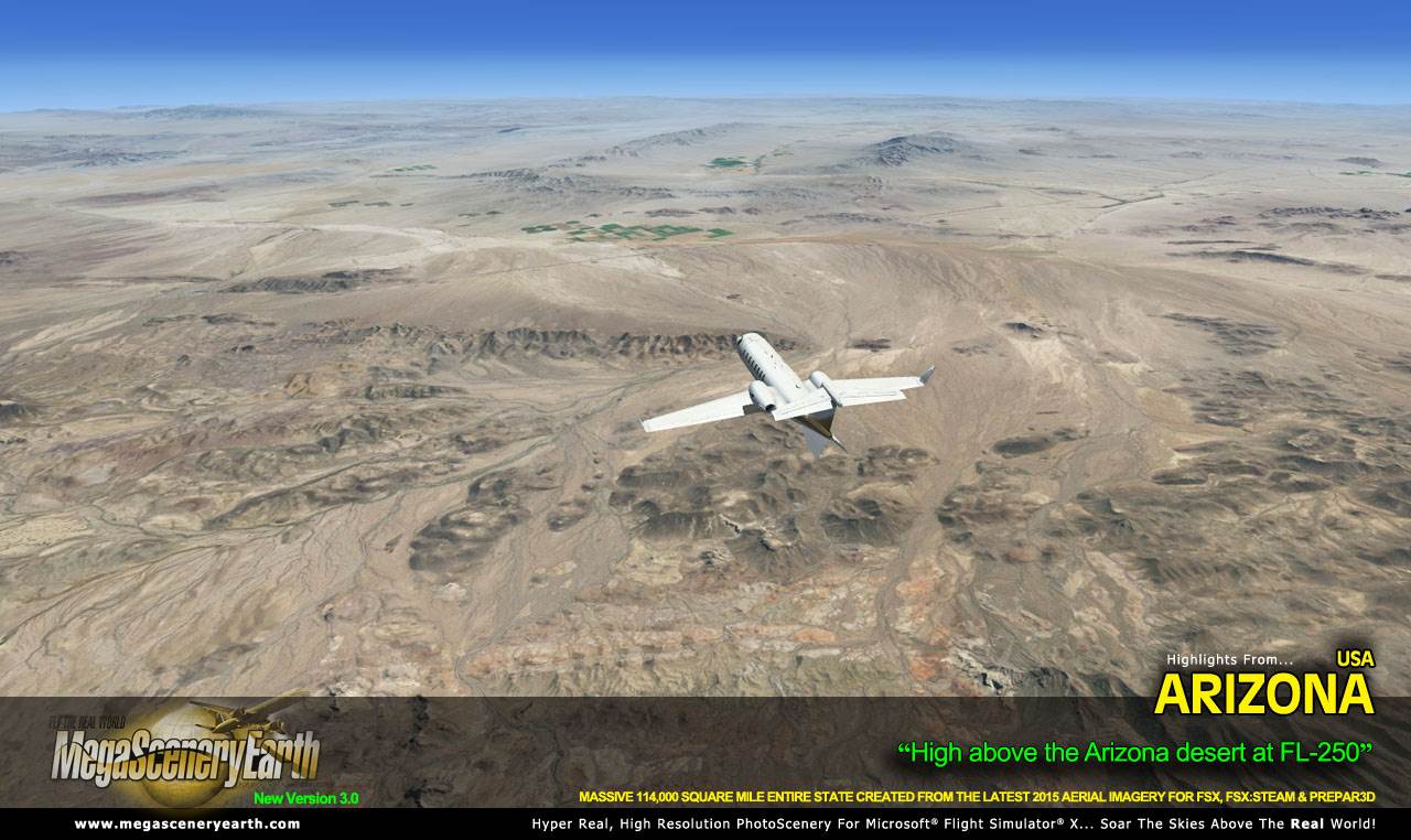
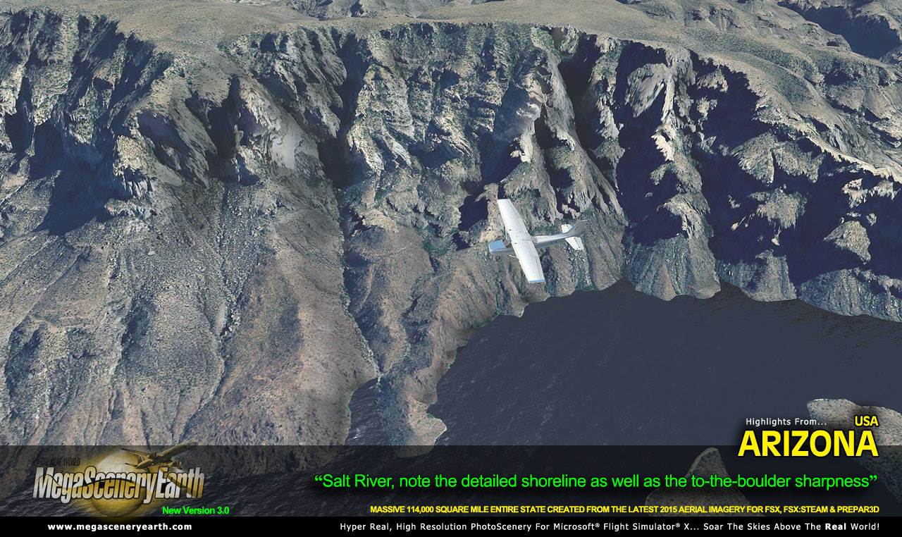
Arizona is a visually spectacular and fun place to fly with terrain that varies from towering mountain peaks above 12,500 feet, high plains, canyons, basins, mesas and deserts. This kind of terrain is where MegaSceneryEarth 3.0's high res graphics really shine. You'll be truly stunned by the scenery of Arizona.
This title gives you the most spectacular natural feature in the entire country - The Grand Canyon - you get to fly the ENTIRE Grand Canyon in photoreal detail.
As an added bonus, we now provide all the VFR and IFR charts in digital PDF format to enable you to get the most out of your scenery. This includes 3 Sectionals, 4 IFR enroute charts, and a 262 page book of Instrument Approach plates, Airport Diagrams, SIDs and STARs, and an Airport Facility Directory. The charts are downloadable along with your scenery files.
Some of the cities and landmarks you'll get to enjoy as you explore Arizona include:
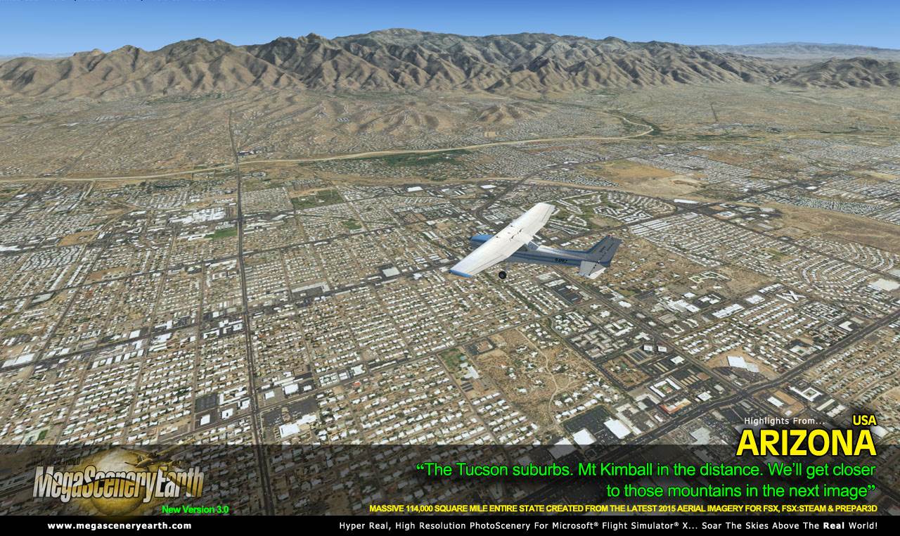
Cities: Phoenix, Tucson, Mesa, Glendale, Scottsdale, Chandler, Tempe
Lakes & Water Bodies: Lake Mead, Lake Havasu, Lake Mohave, Theodore Roosevelt Lake, San Carlos, Lake Powell
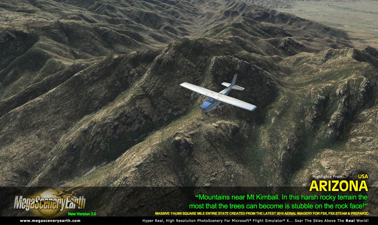
Mountains & Hills: Humphreys Peak (12,562 ft), Agassiz Peak, San Francisco Mountain. Fremont Peak, Aubineau Peak, Rees Peak and a total of 50 other peaks and mountains above 9,500 feet.
State Parks & National Forests: Apache-Sitgreaves, Coconino, Coronado, Kaibab, Prescott and Tonto National Forests.
Major Rivers: Colorado, Little Colorado, Gila, Bill Williams River
Other Major Landmarks: The Grand Canyon, Meteor Crater, Mojave Desert
Discover the rest of it all for yourself! There's a LOT to see!
This is a download edition with the option to order a DVD disk set (15 discs).
When you order the DVD disk set you will still receive download links. If you do not wish to download, simply wait for your DVDs to arrive in the mail.
THIS TITLE COMES WITH A FULL SET OF FAA AERONAUTICAL CHARTS FOR Arizona IN PDF FORMAT.
Here's what you get (download links for charts will be given to you with your product download):
SECTIONAL CHARTS: Denver, Las Vegas, Phoenix
TERMINAL AREA CHART: Phoenix
LOW ALTITUDE IFR CHARTS: ELUS-05/ELUS-06, ELUS-07/ELUS-08, ELUS-09/ELUS-10
HIGH ALTITUDE IFR CHARTS: EHUS-03/EHUS-04
AIRPORT FACILITY DIRECTORY: A FULLY INDEXED 49 PAGE PDF BOOKLET
APPROACH CHARTS & AIRPORT DIAGRAMS: A FULLY INDEXED 262 PAGE PDF BOOKLET
|