|
New Page 1
The New MegaSceneryEarth Utah 3 featuring unsurpassed image sharpness, scenery color and clarity, improved scenery features with accurate additional water bodies and topographical data and the
latest aerial imagery available taken in 2014.
The New MegaSceneryEarth UTAH 3 featuring unsurpassed image sharpness,
scenery color and clarity, improved scenery features with accurate additional
water bodies and topographical data and the latest aerial imagery available
taken in 2014.
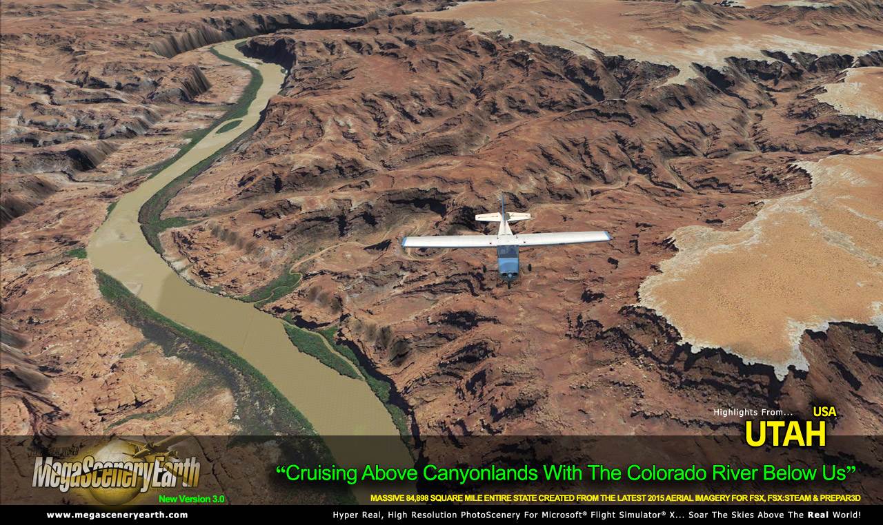
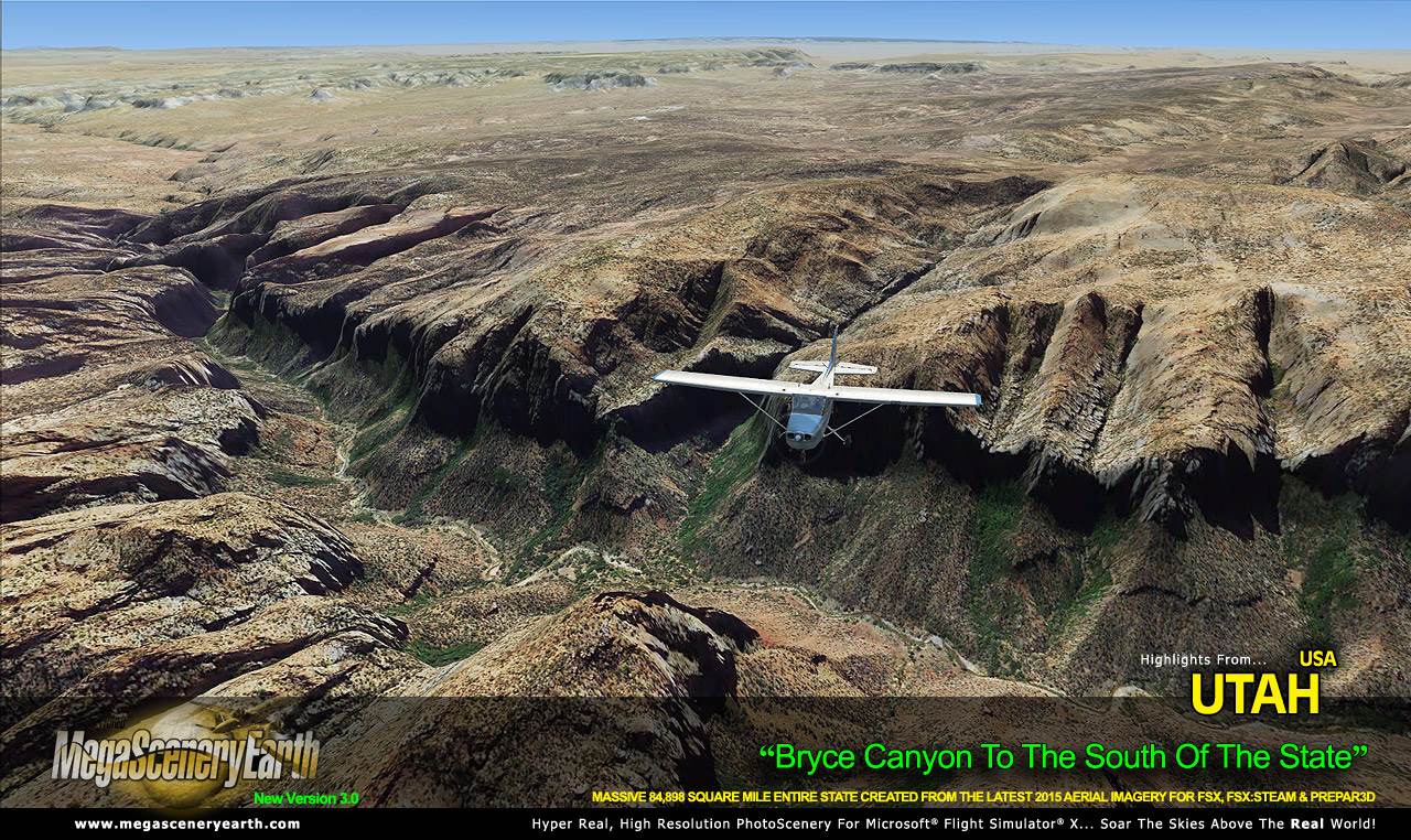
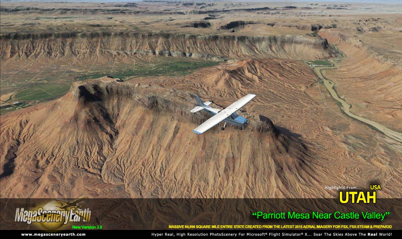
A pure visual spectacle, fly the entire state - BORDER to BORDER - of Utah in photoreal detail.
Utah is over 84,898 square miles in size and has 102 airports. You'll see
everything that you see in Utah in real life in the scenery.
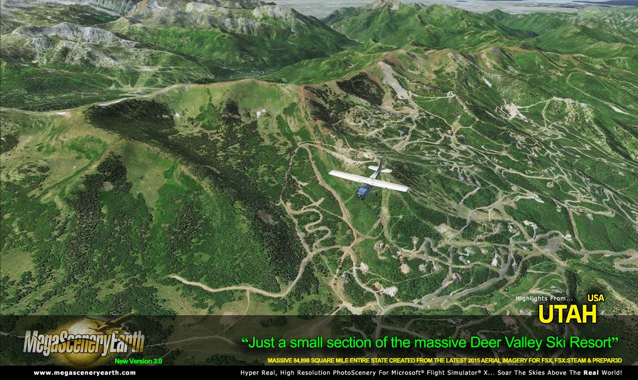
Utah is yet another of the visually spectacular mountain states that gives
you eye candy beyond imagination for your flight simulator flying - towering
mountain peaks above 13,000 feet, high plains, canyons, basins, mesas and
deserts... and of course, the Great Salt Lake.
As an added bonus, we now provide all the VFR and IFR charts in digital PDF
format to enable you to get the most out of your scenery. This includes 3
Sectionals, 1 Terminal Area Charts, 4 IFR enroute charts, and a 177 page book of
Instrument Approach plates, Airport Diagrams, SIDs and STARs, and an Airport
Facility Directory. The charts are downloadable along with your scenery files.
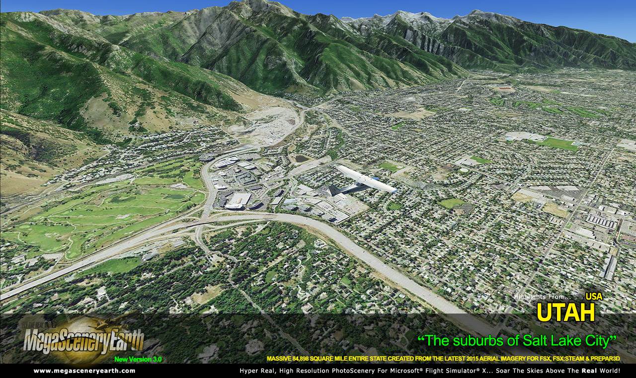
Some of the cities and landmarks you'll get to enjoy as you explore Utah
include:
Cities: Salt Lake City, West Valley City, Provo, Sandy, Orem, Ogden, West
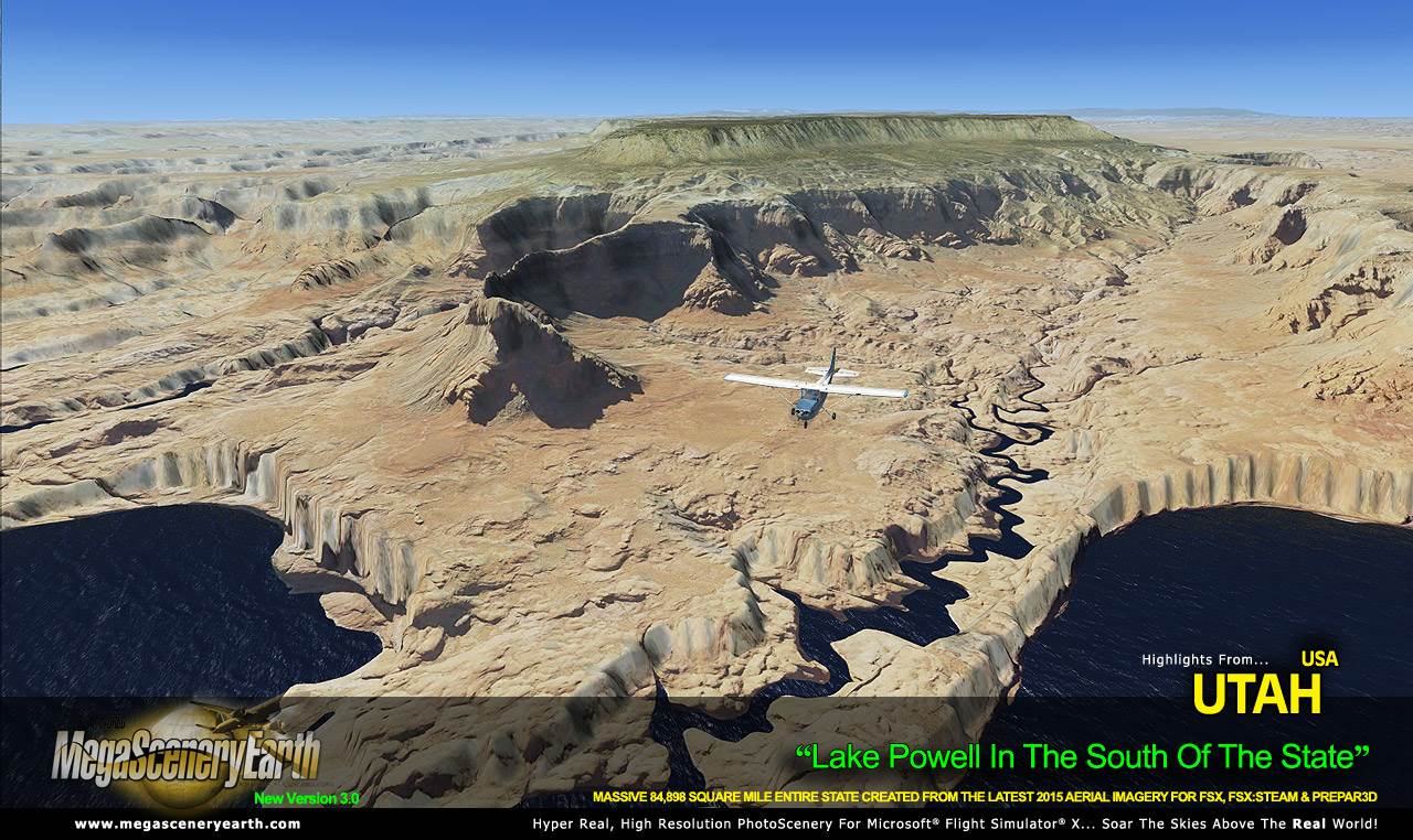
JordanLakes & Water Bodies: Great Salt Lake, Lake Powell, Utah Lake
Mountains & Hills: Kings Peak (13,520 ft), Gilbert Peak, Mount Emmons,
Mount Lovenia, Tokewanna Peak and a total of 50 other peaks and mountains
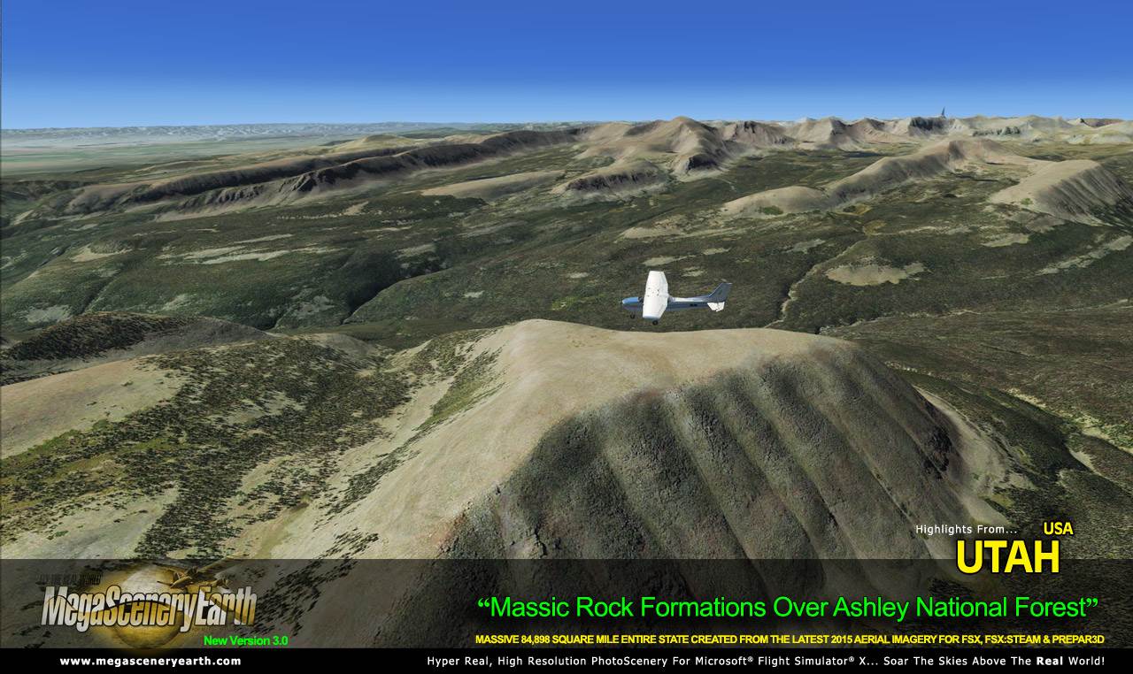
above 11,500 feet.State Parks & National Forests: Ashley National Forest, Dixie National
Forest, Fishlake National Forest, Manti-LaSal National Forest,
Uinta-Wasatch-Cache National Forest
Major Rivers: Colorado River, Green RiverOther Features: Bonneville Salt Flats
Discover the rest of it all for yourself! There's a LOT to see!This is a download edition with the option to order a DVD disk set (16 discs).
When you order the DVD disk set you will still receive download links. If you do
not wish to download, simply wait for your DVDs to arrive in the mail.
THIS TITLE COMES WITH A FULL SET OF FAA AERONAUTICAL CHARTS FOR Utah IN PDF
FORMAT.
Here's what you get (download links for charts will be given to you with your
product download):
SECTIONAL CHARTS: Klamath Falls, Las Vegas, San Francisco
TERMINAL AREA CHART: Las Vegas
LOW ALTITUDE IFR CHARTS: ELUS-07/ELUS-08, ELUS-09/ELUS-10, ELUS-11/ELUS-12
HIGH ALTITUDE IFR CHARTS: EHUS-03/EHUS-04
AIRPORT FACILITY DIRECTORY: A FULLY INDEXED 26 PAGE PDF BOOKLET
APPROACH CHARTS & AIRPORT DIAGRAMS: A FULLY INDEXED 177 PAGE PDF BOOKLET
DVD SET is 10 DVDs
|