The New MegaSceneryEarth Wyoming V3 featuring unsurpassed image sharpness, scenery color and clarity, improved scenery features with accurate additional water bodies and topographical data and the latest aerial imagery available taken in 2015.
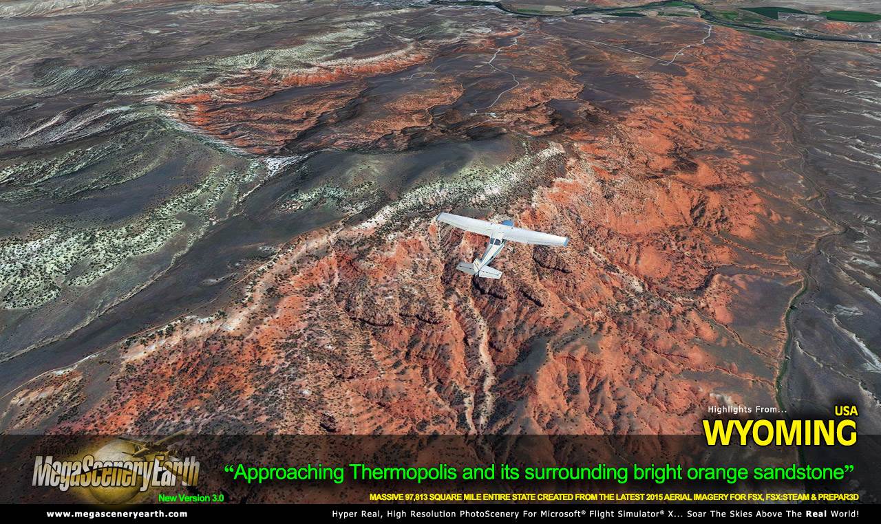
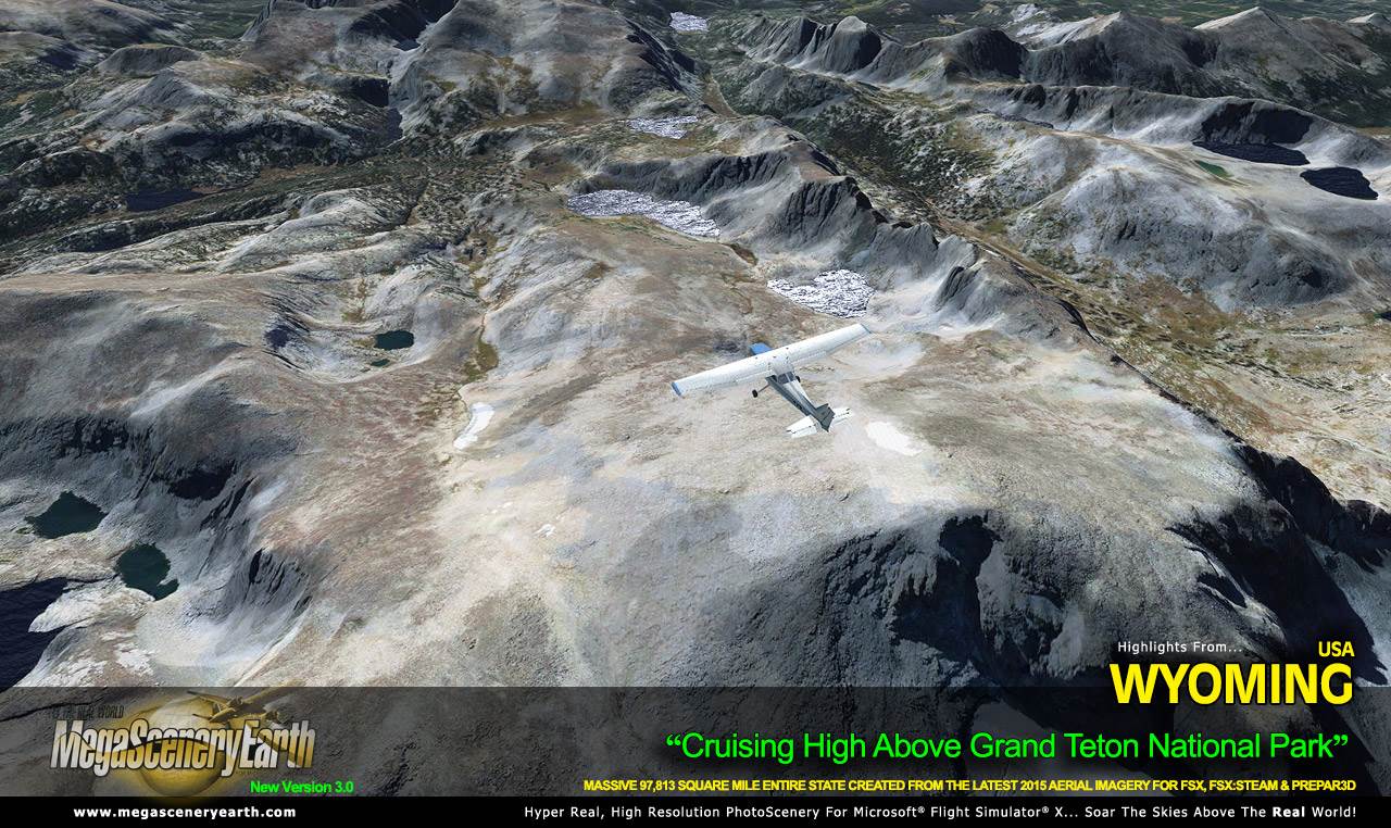
Welcome to "Big" Wyoming, the USA's 10th largest state yet at the same time the least populous. That does not make it any ordinary place to fly however. Wyoming boasts some of the most visually spectacular terrain that the USA has to offer where the Great Plains meets the Rocky Mountains! Wyoming is a great plateau broken by many mountain ranges with elevations as high as 13,800 feet (Gannett Peak). There's other amazing mountain ranges such as the Snowy Range, the Teton Range along with Grand Teton and many others that give you the ultimate bush flying experience.
It's not all mountain range bush flying however. There's the Great Plains to the east that give you tens of thousands of square miles of high rocky desert plains and borders shared with 6 other states - MT, ID, UT, CO, NE, SD.
Wyoming gives you over 97,813 square miles of scenery to soar and explore as you make your way into and out of 97 airports. You get the entire state - border to border coverage of towering mountain peaks above 13,000 feet, high plains, canyons, basins, mesas and deserts as well as famous places such as Yellowstone National Park.
Wyoming is yet another of the visually spectacular mountain states that gives you eye candy beyond imagination for your flight simulator flying. Imagery is clear and crisp 50 cm source throughout for a stunningly realistic scenery.
As an added bonus, we now provide all the VFR and IFR charts in digital PDF format to enable you to get the most out of your scenery. This includes 4 Sectionals, 6 IFR enroute charts, and a 158 page book of Instrument Approach plates, Airport Diagrams, SIDs and STARs, and an Airport Facility Directory. The charts are downloadable along with your scenery files.
Some of the cities and landmarks you'll get to enjoy as you explore Wyoming include:
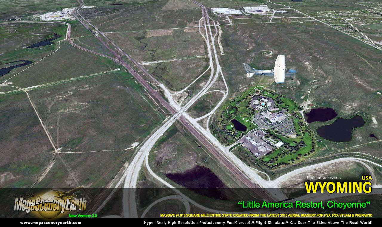
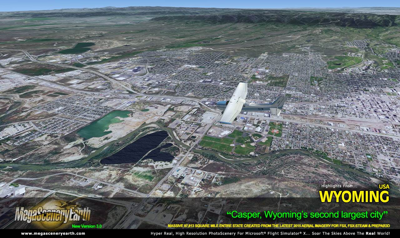
Cities: Cheyenne, Casper, Laramie, Gillette, Rock Springs, Sheridan
Lakes & Water Bodies: Yellowstone Lake, Glendo Reservoir, Bighorn Lake, Boysen Reservoir, Flaming Gorge Reservoir, Seminole Reservoir, Alcova Reservoir, Keyhole Reservoir
Mountains & Hills: Gannett Peak (13,799 ft), Grand Teton, Fremont Peak, Turret Peak, Doublet Peak, Gilbert Peak and a total of 50 other peaks and mountains above 12,500 feet.
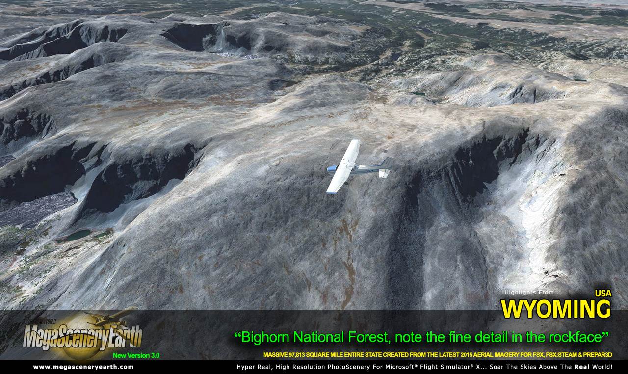
State Parks & National Forests: Yellowstone National Park, Grand Teton National Park, Bighorn National Forest, Bridger-Teton National Forest, Medicine Bow National Forest, Shoshone National Forest, Thunder Basin National Grassland
Major Rivers: Bighorn River, Green River, Belle Fourche River, Powder River, North Platte River
Highlights: Yellowstone National Park. Central Rocky Mountains.
Discover the rest of it all for yourself! There's a LOT to see!
This is a download edition with the option to order a DVD disk set (12 discs).
When you order the DVD disk set you will still receive download links. If you do not wish to download, simply wait for your DVDs to arrive in the mail.
THIS TITLE COMES WITH A FULL SET OF FAA AERONAUTICAL CHARTS FOR Wyoming IN PDF FORMAT.
Here's what you get (download links for charts will be given to you with your product download):
SECTIONAL CHARTS: Billings, Cheyenne, Great Falls, Salt Lake City
LOW ALTITUDE IFR CHARTS: ELUS-09/ELUS-10, ELUS-11/ELUS-12, ELUS-13/ELUS-14,
HIGH ALTITUDE IFR CHARTS: EHUS-01/EHUS-02, EHUS-03/EHUS-04, EHUS-05/EHUS-06
AIRPORT FACILITY DIRECTORY: A FULLY INDEXED 23 PAGE PDF BOOKLET
APPROACH CHARTS & AIRPORT DIAGRAMS: A FULLY INDEXED 158 PAGE PDF BOOKLET
|