The New MegaSceneryEarth Washington V3 featuring unsurpassed image sharpness, scenery color and clarity, improved scenery features with accurate additional water bodies and topographical data and the latest aerial imagery available taken in 2015.
Welcome to the Pacific Northwest and the entire state of Washington recreated from border-to-border in high resolution photoreal detail.
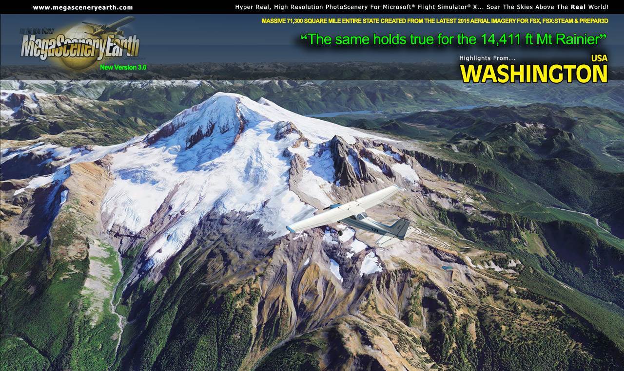
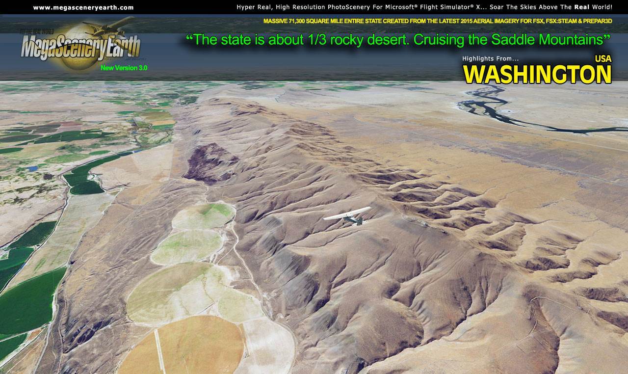
The state of Washington has always been the most in-demand state for scenery for Microsoft Flight Simulator X. Maybe it's because it's the home of Microsoft Flight Simulator or maybe because it hosts some of the most spectacular scenery that the US has to offer. Features such as Mt Rainier (the 4th highest peak in the lower 48), Mt St Helens, the Columbia River, Puget Sound and Seattle (The Emerald City), the Cascade Mountain range are just some of the features that make this state a "gotta experience this scenery" state. You won't be disappointed.
Washington is over 71,300 square miles in size and has 374 airports.
As an added bonus, we now provide all the VFR and IFR charts in digital PDF format to enable you to get the most out of your scenery. This includes 1 Sectionals, 1 Terminal Area Chart, 3 IFR enroute charts, and a 341 page book of Instrument Approach plates, Airport Diagrams, SIDs and STARs, and an Airport Facility Directory. The charts are downloadable along with your scenery files.
Some of the cities and landmarks you'll get to enjoy as you explore Washington include:
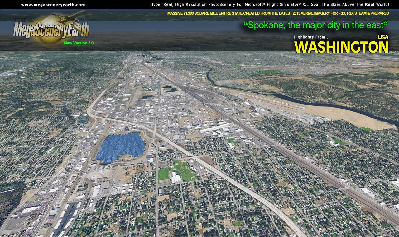
Cities: Seattle, Spokane, Tacoma, Vancouver, Bellevue, Everett, Federal Way, Kent, Yakima
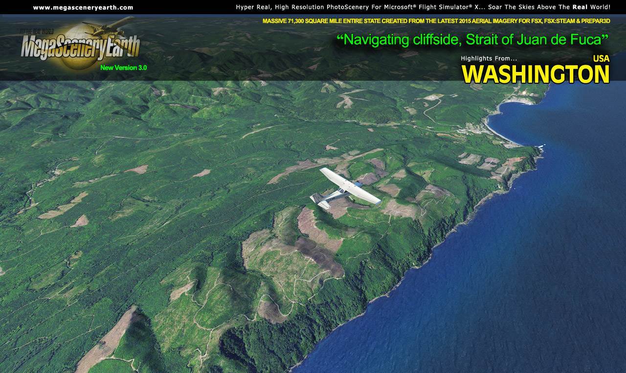
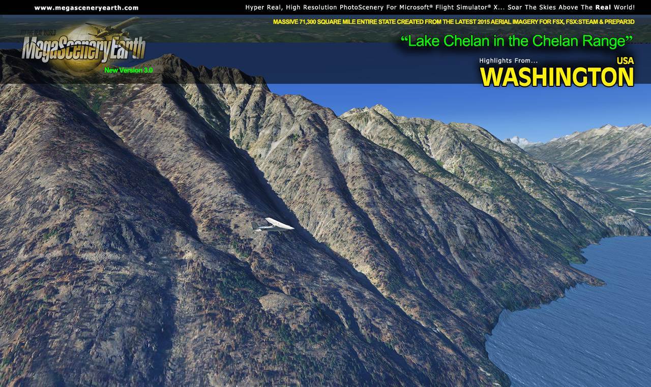
Lakes & Water Bodies: Lake Franklin D Roosevelt, Lake Washington, Lake Chelan, Banks Lake, Puget Sound, Pacific Ocean Coastline
Mountains & Hills: Mt Rainier (14,416 Ft), Register Rock, Point Success, Liberty Cap, Gibraltar Rock, Mt Adams, The Pinnacle and a total of 50 other peaks and mountains above 8,500 feet.
State Parks & National Forests: Colville National Forest, Gifford Pinchot National Forest, Mount Baker-Snoqualmie National Forests, Mount St. Helens National Volcanic Monument, Okanogan-Wenatchee National Forest, Olympic National Forest
Major Rivers: Columbia River, Snake River, Yakima River
Other Major Features: Olympic Mountains, Mt St Helens, Puget Sound, Glacier Peak, Cascade Mountain Range
Discover the rest of it all for yourself! There's a LOT to see!
This is a download edition with the option to order a DVD disk set (13 discs).
When you order the DVD disk set you will still receive download links. If you do not wish to download, simply wait for your DVDs to arrive in the mail.
THIS TITLE COMES WITH A FULL SET OF FAA AERONAUTICAL CHARTS FOR Washington IN PDF FORMAT.
Here's what you get (download links for charts will be given to you with your product download):
SECTIONAL CHARTS: Seattle
TERMINAL AREA CHART: Seattle
LOW ALTITUDE IFR CHARTS: ELUS-01/02, ELUS-13/ELUS-14,
HIGH ALTITUDE IFR CHARTS: EHUS-01/EHUS-02
AIRPORT FACILITY DIRECTORY: A FULLY INDEXED 88 PAGE PDF BOOKLET
APPROACH CHARTS & AIRPORT DIAGRAMS: A FULLY INDEXED 341 PAGE PDF BOOKLET
|