The New MegaSceneryEarth Alabama Version 3 - 2017 features unsurpassed 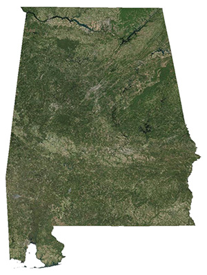 image sharpness, scenery color and clarity, improved scenery features with accurate additional water bodies and topographical data and the latest completely-up-to-date aerial imagery available taken in 2017. image sharpness, scenery color and clarity, improved scenery features with accurate additional water bodies and topographical data and the latest completely-up-to-date aerial imagery available taken in 2017.
Border To Border
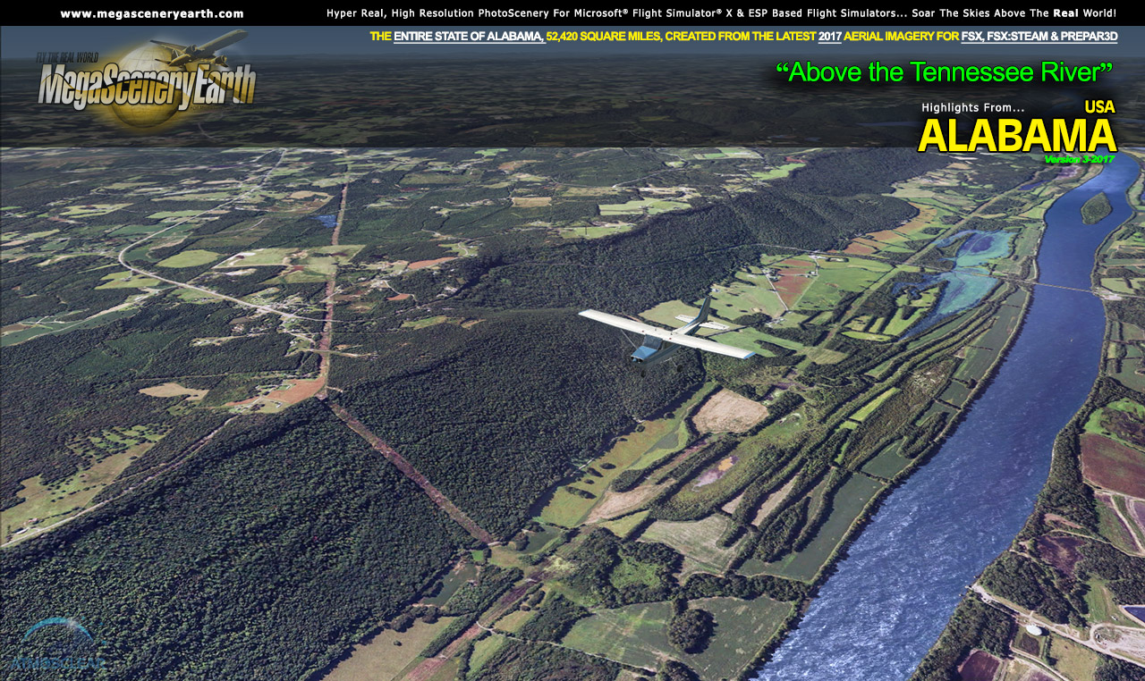
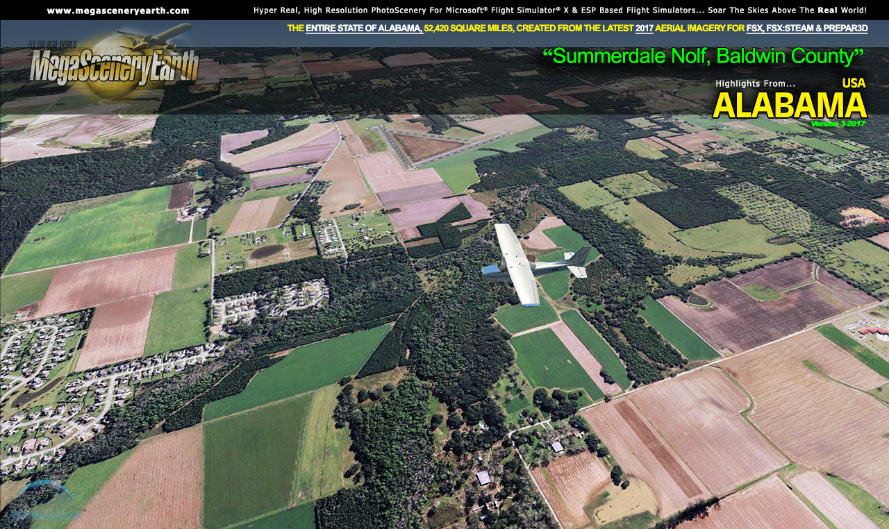
Fly the entire state - BORDER to BORDER - of Alabama in photoreal detail in 1 meter per pixel resolution throughout.
Welcome to the Heart of Dixie, the southeastern state of Alabama. Bordered by 4 states (GA, FL, MS, TN) and a small section of the Gulf of Mexico, Alabama is the thirtieth largest state and gives you 52,419 square miles of Alabamian terrain to explore as you soar the flight simulator skies in and out of 203 airports.
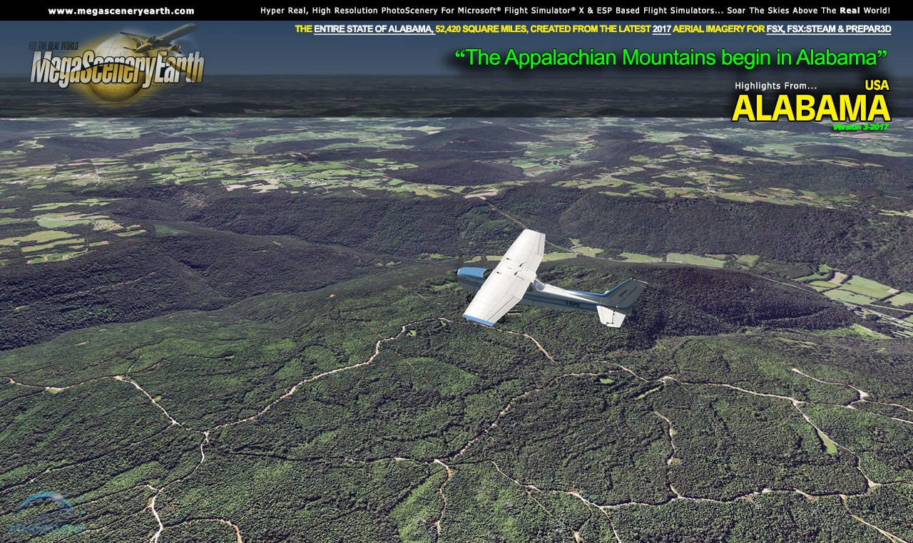
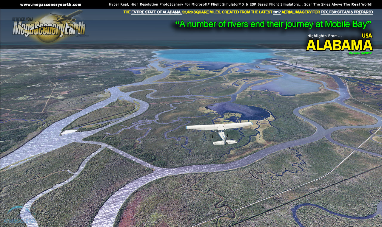
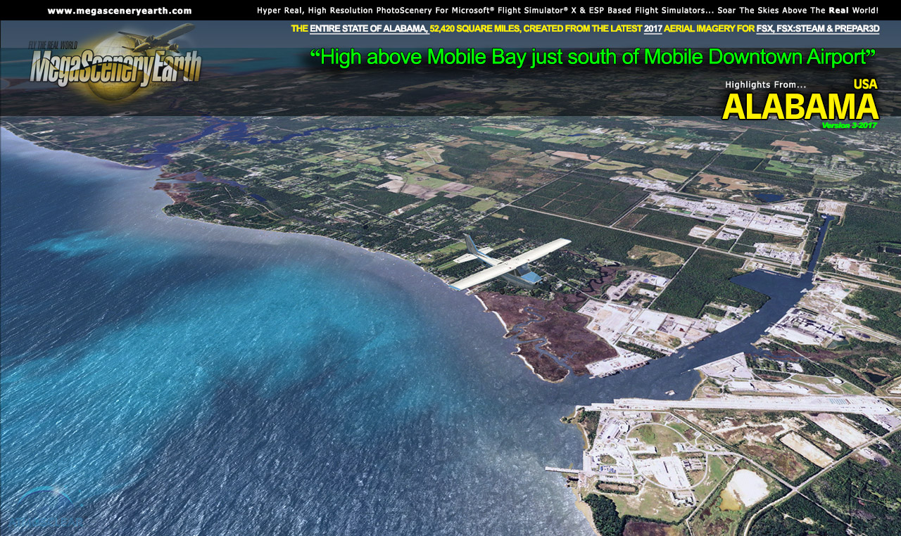
Alabama has an average elevation of just 500 feet, with the highest peak Cheaha Mountain it 2,382 feet, so you could consider it as being relatively flat but it's not without interesting features and well known population centers such as Birmingham, Montgomery, Huntsville, and Mobile and its bay in the Gulf of Mexico.
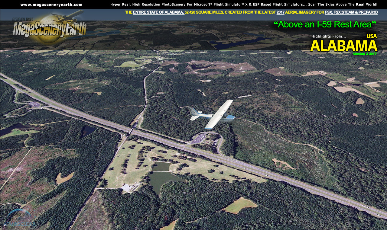
6 major interstate highways feed into Birmingham (it's fun following them visually). There's a good number of forests, large lakes, one of the largest waterways and there's Alabama's greatest natural disaster, the Wetumpka crater.
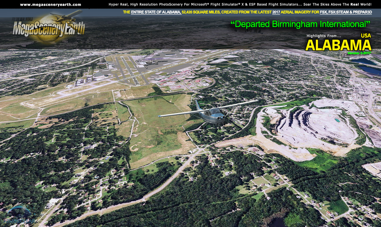
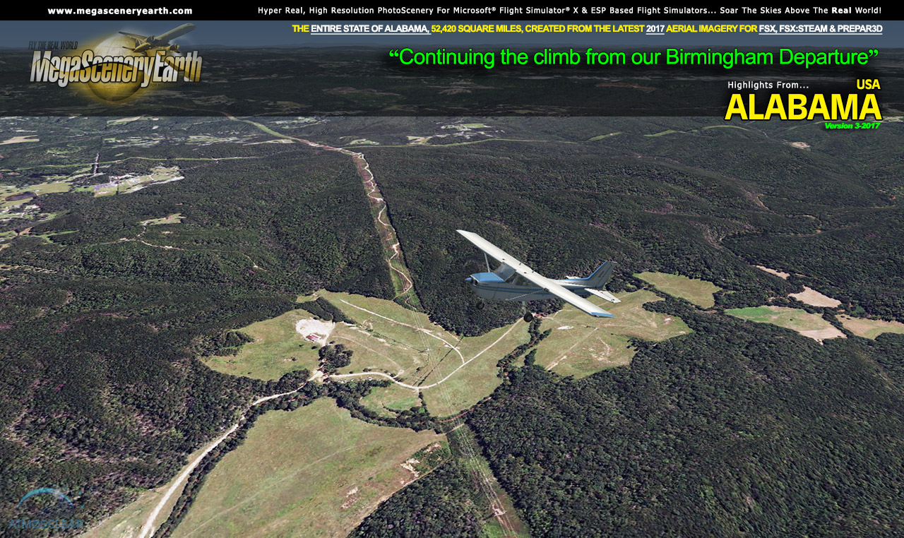
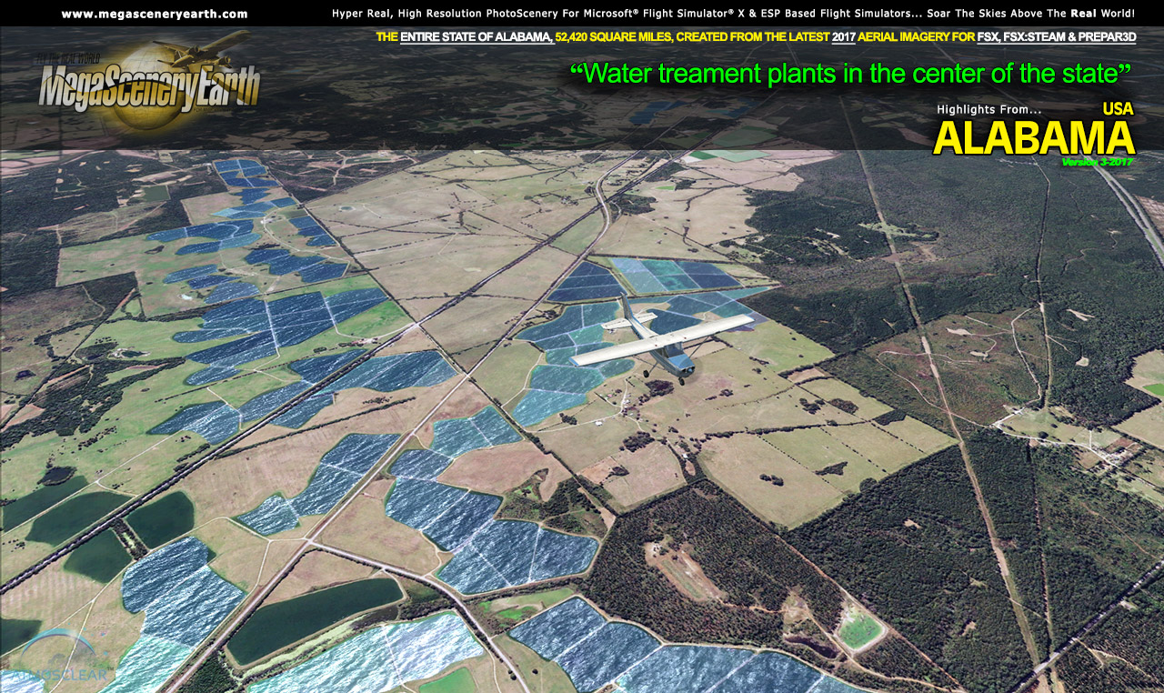
Remember, you'll see everything that you see in Alabama in real life in the scenery. The clarity of the imagery is stunning.
 Features New AtmosCLEAR™ Image Clarity Features New AtmosCLEAR™ Image Clarity
Alabama imagery is processed using our proprietary AtmosCLEAR™ image processing. AtmosCLEAR™ is a post production image processing technique that simulates the image being photographed in a vacuum to eliminate all atmospheric haze and artifact. It's clear of atmosphere. The result is a crystal clear mathematically optimally contrasted image.
Fly Alabama Both Day and Night
Alabama blends seamlessly with FSX and Prepar3D night scenery so that dawn and dusk feature a blend of aerial imagery and night lighting while the scenery transitions to full day or full night where all default FSX night scenery displays.
Complete Alabama Hydrography
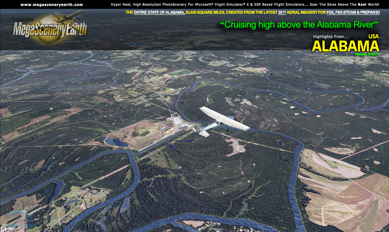
Alabama also features Flight Simulator water effects on all lakes, ponds and reservoirs greater than 3 acres from the national hydrographic database. If the water body is greater than 5 sq km, then its shorelines are hand etched pixel by pixel for highly accurate shorelines. Wide rivers also have hand etched shorelines and banks. The raw photographic water body is left untouched with the result being an authentic variety of different water colors that highlight specific properties e.g. mineral lakes whose color is maintained. Where possible water surface artifact is removed from the image. For users who like to see the water bodies as they are, then simply turn off the simulator water effects and you will see the native aerial images of the water bodies as you fly. Specific characteristics of narrower rivers require that we do not apply water effect to narrow rivers and creeks for a better scenery result.
All The Charts You Need To Navigate Alabama
As an added bonus, we now provide all the VFR and IFR charts in digital PDF format to enable you to get the most out of your scenery. This includes TACs and Sectionals, IFR enroute charts and 312 page book of Instrument Approach plates, Airport Diagrams, SIDs and STARs. The charts are downloadable along with your scenery files.
Some of the cities and landmarks you'll get to enjoy as you explore Alabama include:
Cities: Birmingham (Largest), Montgomery, Mobile, Huntsville, Tuscaloosa, Hoover
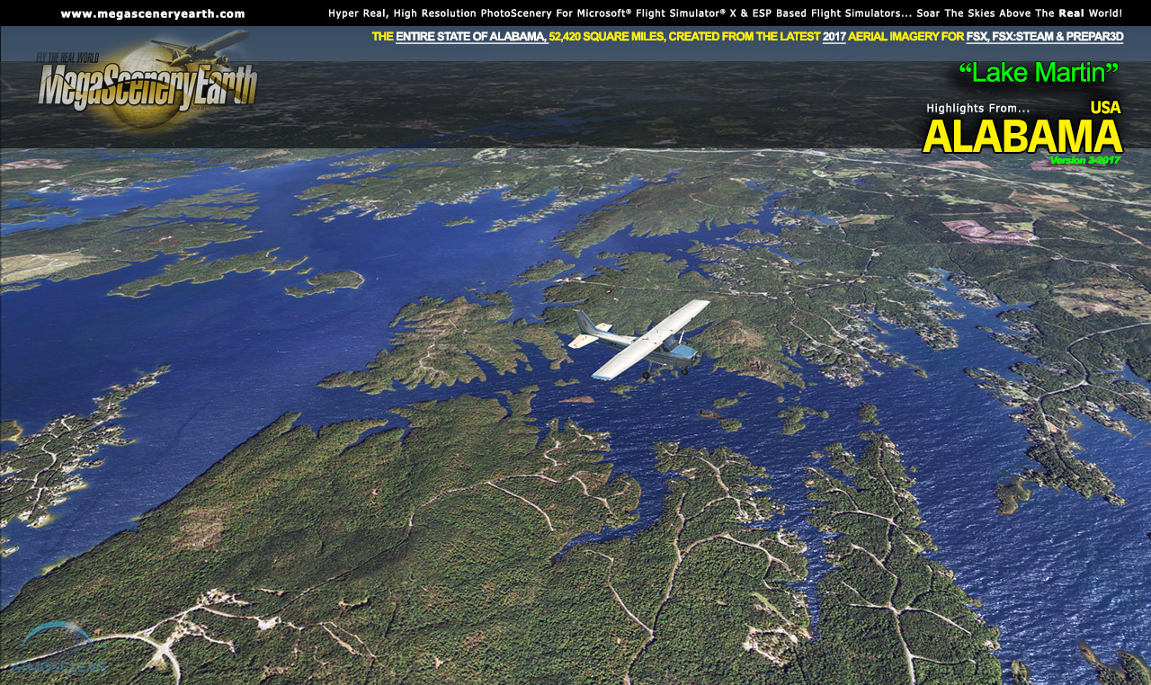
Lakes & Water Bodies: Wheeler Lake, Wilson Lake, Guntersville Lake, Lake Martin, Lay Lake, Mitchell Lake, Gulf of Mexico Shoreline
Mountains & Hills: Cheaha Mountain (2,382 ft), Talladega Mountain, Odum Point, Hernandez peak, Bald Rock, Parker High Point and a total of 50 peaks above 1,700 feet.
State Parks & National Forests: William Bankhead National Forest, Talladega National Forest, Conecuh National Forest
Major Rivers: Alabama, Tennessee, Chattahoochee, Tombigbee, Conecuh, Cahaba
Discover the rest of it all for yourself! There's a LOT to see!
This is a download edition with the option to order a DVD disk set (9 discs).
When you order the DVD disk set you will still receive download links. If you do not wish to download, simply wait for your DVDs to arrive in the mail.
THIS TITLE COMES WITH A FULL SET OF FAA AERONAUTICAL CHARTS FOR ALABAMA IN PDF FORMAT.
Here's what you get (download links for charts will be given to you with your product download):
SECTIONAL CHARTS: Atlanta, Memphis & New Orleans
LOW ALTITUDE IFR CHARTS: ELUS-17/ELUS-18 and ELUS-21/ELUS-22
HIGH ALTITUDE IFR CHARTS: EHUS-9/EHUS-10
AIRPORT FACILITY DIRECTORY: A FULLY INDEXED 46 PAGE PDF BOOKLET
APPROACH CHARTS & AIRPORT DIAGRAMS: A FULLY INDEXED 312 PAGE PDF BOOKLET
|