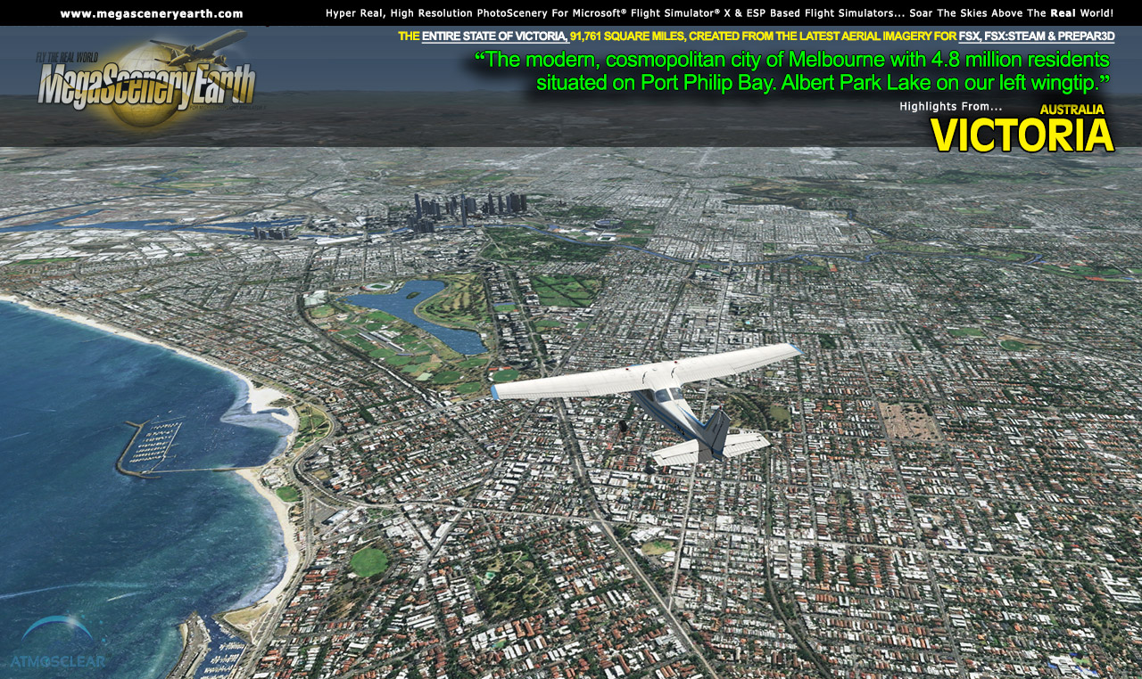
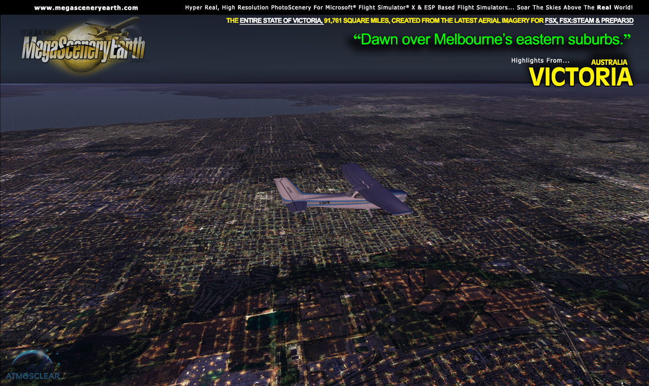
 Our first Australian state enables you to fly Australia's second most populated state with 6 million residents, Victoria, in photoreal detail. Our first Australian state enables you to fly Australia's second most populated state with 6 million residents, Victoria, in photoreal detail.
Border To Border
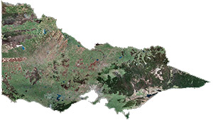
Fly the entire state - BORDER to BORDER - of Victoria in photoreal detail in 1 meter per pixel resolution throughout.
Victoria is 91,749 square miles and has 45 public airports.
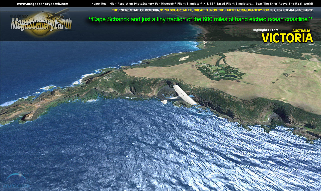
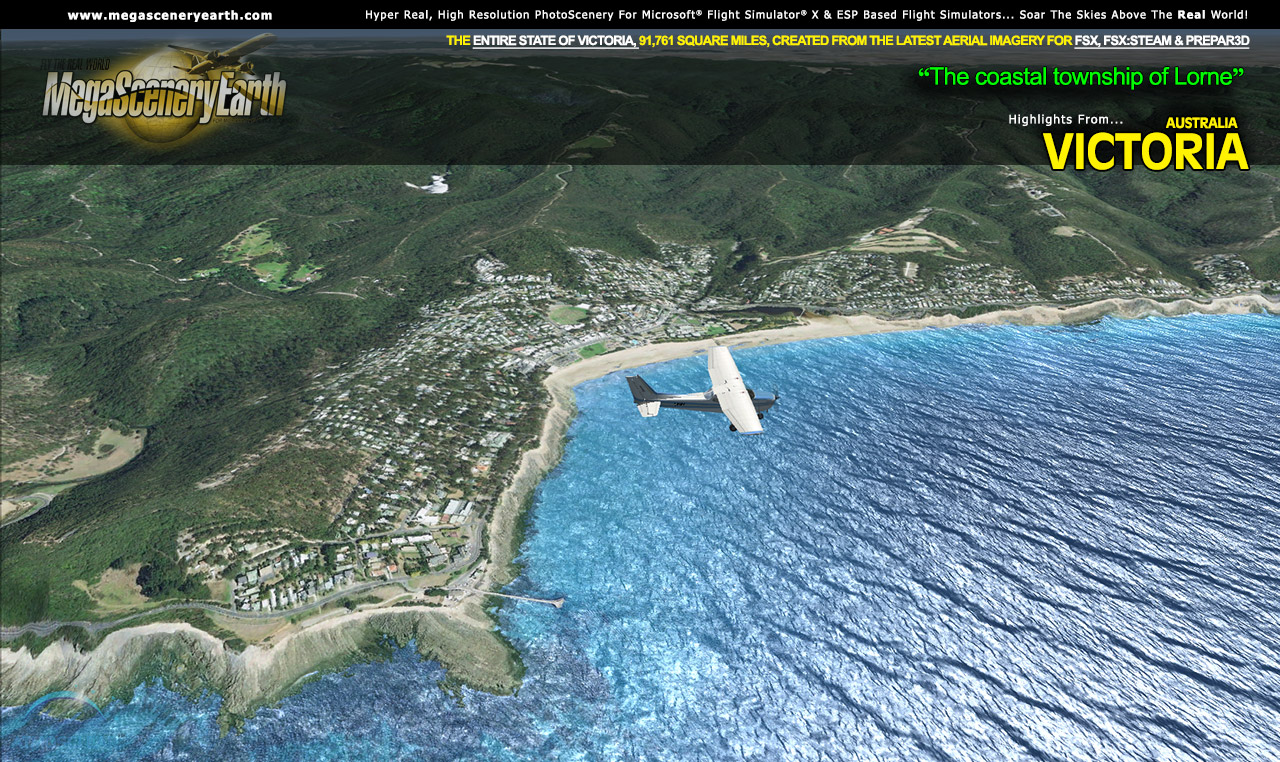
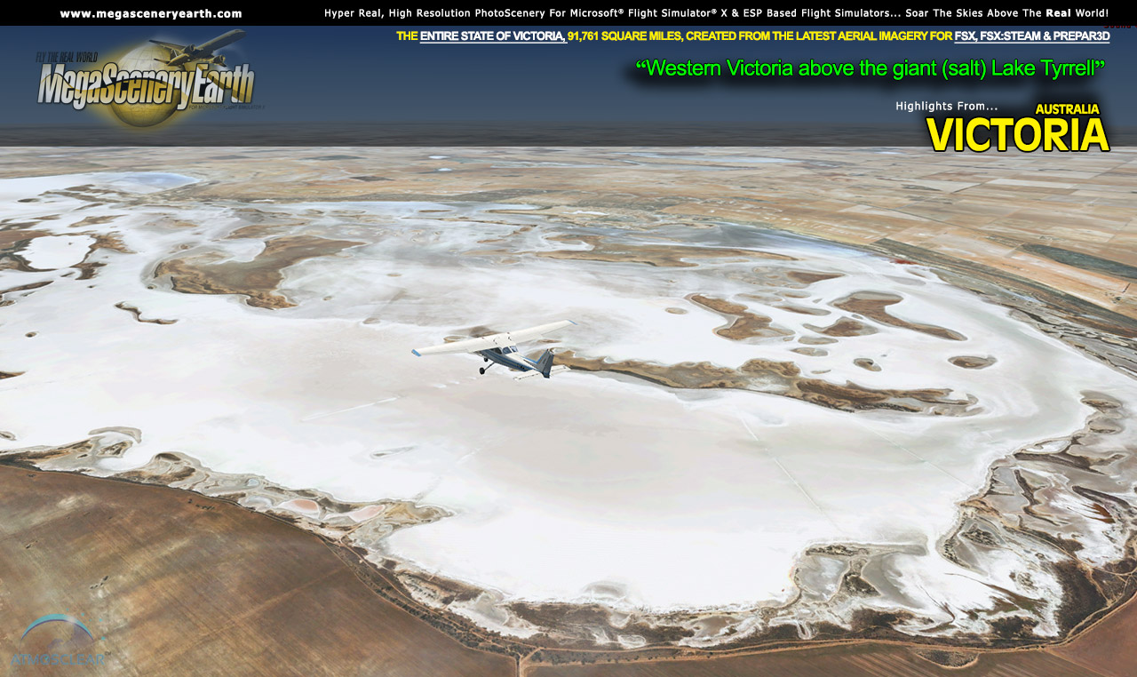
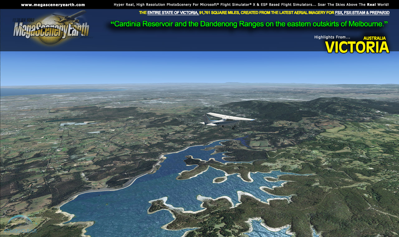
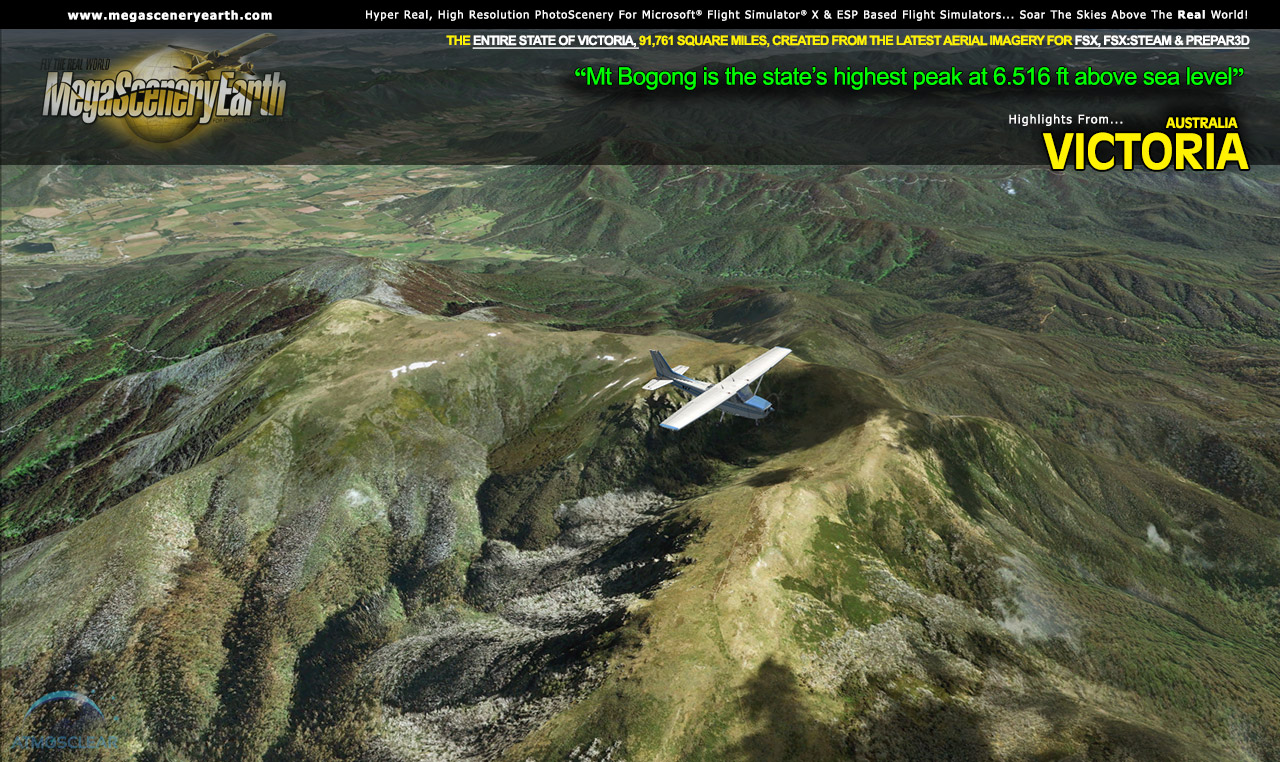
You get to fly over a variety of gorgeous scenery from the flat dry lands and salt lakes in the west, to the mountains of the Great Dividing Range in the east as well as 600 miles of carefully etched Bass Strait ocean coastline.
You'll see everything that you see in Victoria in real life in the scenery. The clarity of the imagery is stunning.
If you're training to be a pilot, are an actual licensed pilot or just a flight simmer with big dreams of flying, this scenery for the entire state if Victoria is just what you need to enjoy a part of Australia in photoreal detail, as a training aid or to simply experience flying over a real Victoria on your PC Sim - FSX, FSX:STEAM or Prepar3D.
Fly Victoria Both Day and Night
Victoria blends seamlessly with FSX and Prepar3D night scenery so that dawn and dusk feature a blend of aerial imagery and night lighting while the scenery transitions to full day or full night where all default FSX night scenery displays.
Selected Victoria Hydrography
Victoria also features Flight Simulator water effects and highly accurate hand etched shorelines all lakes, ponds and reservoirs greater than 1 sq km. Wide rivers also have hand etched shorelines and banks. The raw photographic water body is left untouched with the result being an authentic variety of different water colors that highlight specific properties e.g. mineral lakes whose color is maintained. Where possible water surface artifact is removed from the image. For users who like to see the water bodies as they are, then simply turn off the simulator water effects and you will see the native aerial images of the water bodies as you fly. Specific characteristics of narrower rivers require that we do not apply water effect to narrow rivers and creeks for a better scenery result.
Realigned and PhotoScenery Optimized Airports
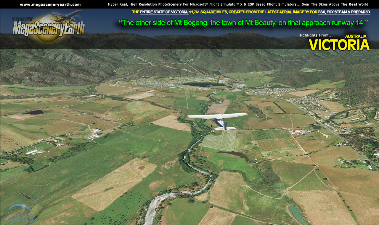
Photoscenery tends to make misaligned airports and runways stand out. We've gone through the entire list of primary airports in the state and realigned any misaligned runways and removed all other airport infrastructure so that the airports are optimized for display over the photoreal scenery. We've also reclassified any misclassified runway surfaces, e.g. paved vs gravel, dirt, grass, etc. These photoreal optimized airports do not preclude you from using any 3rd party airports which, when created accurately, will properly overlay over the photoscenery.
Some of the cities and landmarks you'll get to enjoy as you explore Victoria include:
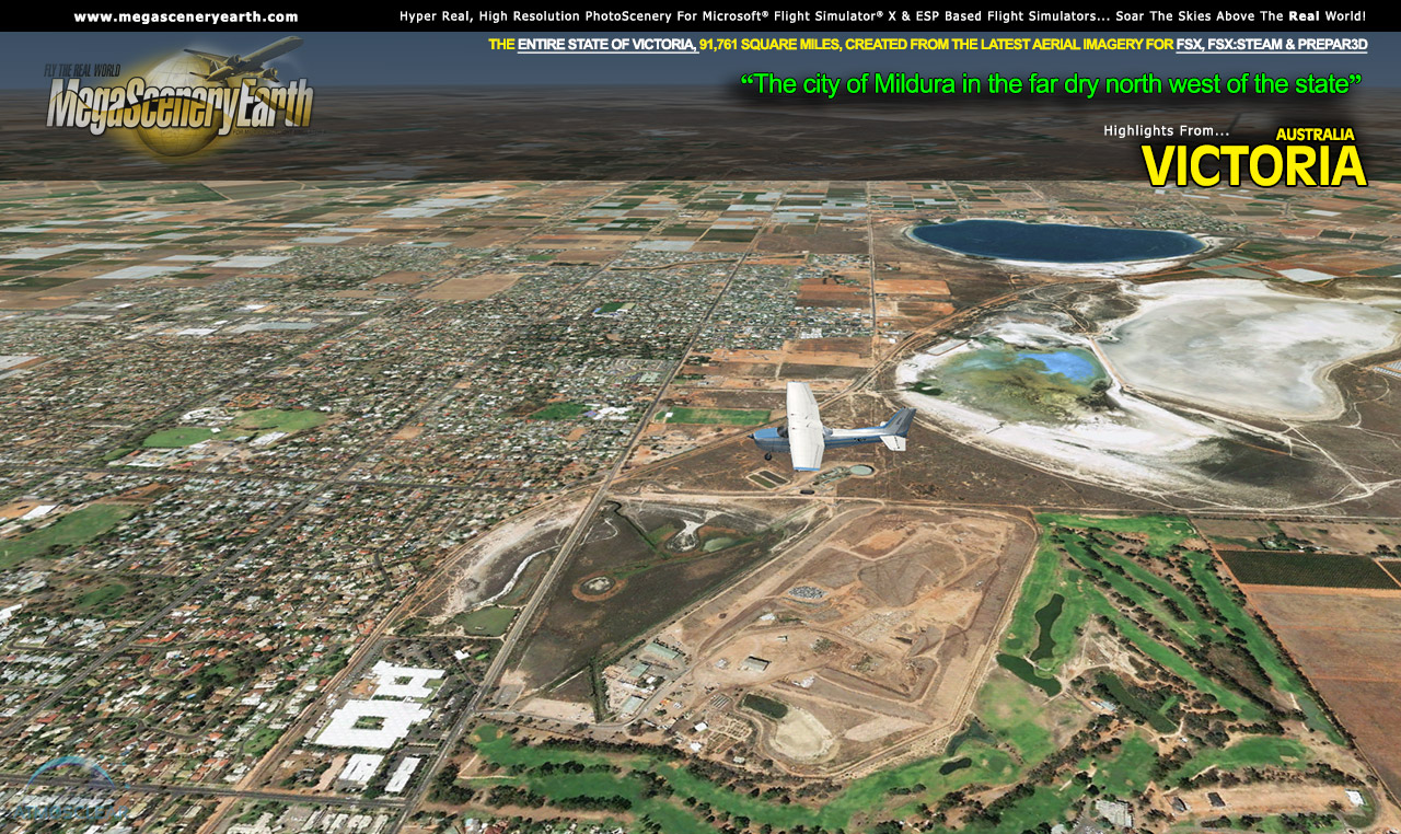
Cities and Towns: Melbourne, Geelong, Ballarat, Bendigo, Shepparton, Mildura, Wodonga, Traralgon
Lakes & Water Bodies: Tyrrell (salt lake), Hume, Corangamite, Eildon, Victoria, Wellington, Hindmarsh, Mokoan, Mulwala
Mountains & Hills: Mt Bogong (6,516 ft), Mt Feathertop, Mt Hotham, Mt Buller, Mt Baw Baw, and a total of 50 peaks above 3,000 feet.
State Parks & National Forests: Alpine National Park, Snowy River National Park, Mt Buffalo National Park, Grampians National Park, Yarra Ranges, Little Desert, Otway, Wilson's Promontory.
Major Rivers: Murray, Goulburn, Yarra, Kiewa, Snowy, Mitta Mitta, Ovens
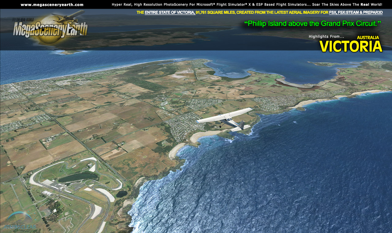
Other Areas of Interest: Philip Island, Port Philip Bay, Gippsland Lakes, Beautiful Victoria Ocean Coastline, Cape Otway, Big Desert, So much more!
Discover the rest of it all for yourself! There's a LOT to see!
This is a download edition with the option to order a DVD disk set (10 discs) or 64 Gb Flash Drive
When you order the DVD disk set or flash drive you will still receive download links. If you do not wish to download, simply wait for your media to arrive in the mail.
Aeronautical Charts
Official aeronautical charts to enhance your enjoyment of this scenery can be downloaded from:
http://www.airservicesaustralia.com/aip/aip.asp?pg=10
Here are the charts that apply to this scenery
VISUAL NAVIGATION CHARTS (VNC, SCALE: 1:500,000): Melbourne, Deniliquin
VISUAL TERMINAL CHART (VTC, SCALE 1:250,000): MELBOURNE
HIGH ALTITUDE IFR CHARTS: H1
LOW ALTITUDE IFR CHARTS: L1, L2
TERMINAL AREA CHART: 3
PLANNING CHART AUSTRALIA
SPECIFIC APPROACH CHARTS & AIRPORT DIAGRAMS
|