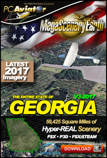
 The New MegaSceneryEarth Georgia Version 3 - 2017 features unsurpassed image sharpness, scenery color and clarity, improved scenery features with accurate additional water bodies and the latest completely-up-to-date aerial imagery available taken in 2017.
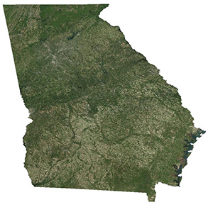
Fly the entire state - BORDER to BORDER - of Georgia in photoreal detail.
Georgia is a massive 59,425 square miles in size and has 349 airports. You'll see everything that you see in Georgia in real life in the scenery including the world's busiest airport - Atlanta.
As an added bonus, we now provide all the VFR and IFR charts in digital PDF format to enable you to get the most out of your scenery. This includes TACs and Sectionals, IFR enroute charts and 650 page book of Instrument Approach plates, Airport Diagrams, SIDs and STARs. The charts are downloadable along with your scenery files.
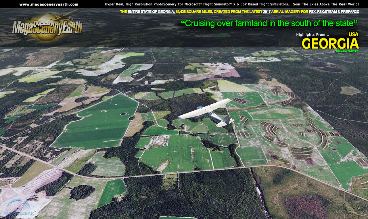
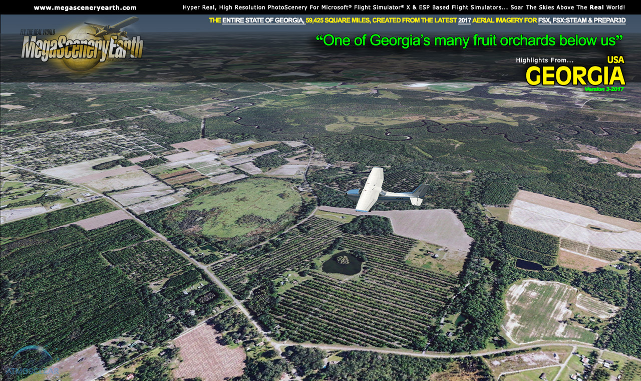
You'll see everything that you see in Georgia in real life in the scenery. The clarity of the imagery is stunning.
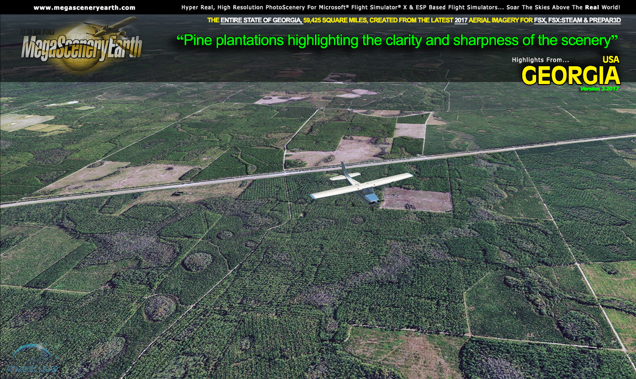
 Features New AtmosCLEAR™ Image Clarity
Georgia imagery is processed using our proprietary AtmosCLEAR™ image processing. AtmosCLEAR™ is a post production image processing technique that simulates the image being photographed in a vacuum to eliminate all atmospheric haze and artifact. It's clear of atmosphere. The result is a crystal clear mathematically optimally contrasted image.
Fly Georgia Both Day and Night
Georgia blends seamlessly with FSX and Prepar3D night scenery so that dawn and dusk feature a blend of aerial imagery and night lighting while the scenery transitions to full day or full night where all default FSX night scenery displays.
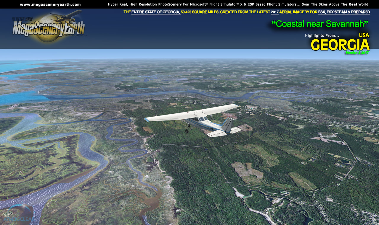
Complete Georgia Hydrography
Georgia also features Flight Simulator water effects on all lakes, ponds and reservoirs greater than 3 acres from the national hydrographic database. If the water body is greater than 5 sq km, then its shorelines are hand etched pixel by pixel for highly accurate shorelines. Wide rivers also have hand etched shorelines and banks. The raw photographic water body is left untouched with the result being an authentic variety of different water colors that highlight specific properties e.g. mineral lakes whose color is maintained. Where possible water surface artifact is removed from the image. For users who like to see the water bodies as they are, then simply turn off the simulator water effects and you will see the native aerial images of the water bodies as you fly. Specific characteristics of narrower rivers require that we do not apply water effect to narrow rivers and creeks for a better scenery result.
All The Charts You Need To Navigate Georgia
As an added bonus, we now provide all the VFR and IFR charts in digital PDF format to enable you to get the most out of your scenery. This includes TACs and Sectionals, IFR enroute charts and 650 page book of Instrument Approach plates, Airport Diagrams, SIDs and STARs. The charts are downloadable along with your scenery files.
Fly the entire state - BORDER to BORDER - of Georgia in photoreal detail.
Georgia is a massive 59,425 square miles in size and has 349 airports. You'll see everything that you see in Georgia in real life in the scenery.
As an added bonus, we now provide all the VFR and IFR charts in digital PDF format to enable you to get the most out of your scenery. This includes TACs and Sectionals, IFR enroute charts and 650 page book of Instrument Approach plates, Airport Diagrams, SIDs and STARs. The charts are downloadable along with your scenery files.
Some of the cities and landmarks you'll get to enjoy as you explore Georgia include:
Cities: Atlanta, Augusta, Columbus, Savannah, Athens, Macon, Marietta
Lakes: Lake Lanier, West Point Lake, Lake Seminole, Lake Oconee, Lake Sinclair, Blue Ridge Lake
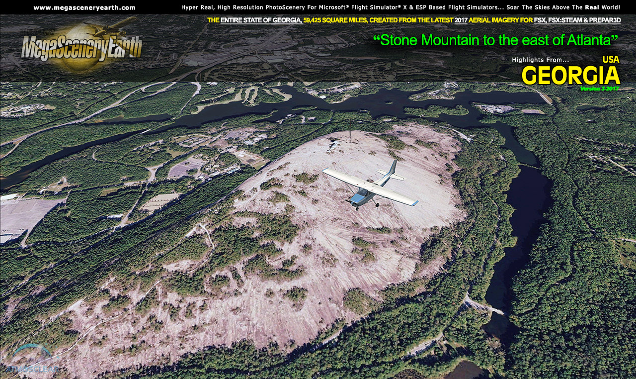
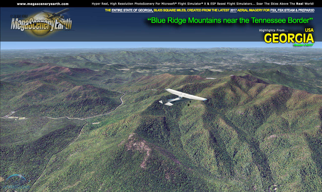
Mountains & Hills: Blue Ridge Mountains, Rabun Bald (4,695 ft), Dicks Knob, Blood Mountain, Tray Mountain, Slaughter Mountain, Chimney Top and 50 other peaks above 3800 ft.
State & National Parks & Forests: Chattahoochee-Oconee & Cohutta National Forests and numerous state parks and beautiful Blue Ridge mountain area,
Major Rivers: Savannah, Oconee, Flint, Satilla, Etowah, Ocmulgee
Some Other Major Highlights:
Georgia hosts the world's busiest airport - Atlanta International (KATL) with over 92,000,000 passengers per year and 3,000 aircraft movements per day.
Beautiful Savannah - Georgia's most famous historic and tourist town
Blue Ridge Mountains and shared border with North Carolina's and Tennessee's mountains.
This is a download edition with the option to order a DVD disk set (10 discs).
When you order the DVD disk set you will still receive download links. If you do not wish to download, simply wait for your DVDs to arrive in the mail.
THIS TITLE COMES WITH A FULL SET OF FAA AERONAUTICAL CHARTS FOR Georgia IN PDF FORMAT.
Here's what you get (download links for charts will be given to you with your product download):
SECTIONAL CHARTS: Atlanta, Charlotte, Jacksonville
TERMINAL AREA CHARTS: Atlanta
LOW ALTITUDE IFR CHARTS: ELUS-17/ELUS-18, ELUS-21/ELUS-22 and ELUS-23/ELUS-24
HIGH ALTITUDE IFR CHARTS: EHUS-9/EHUS-10
APPROACH CHARTS & AIRPORT DIAGRAMS: A 650 PAGE PDF BOOKLET
NOTE: The screenshots below don't even scratch the surface of the scope and expanse of this scenery. Discover it all yourself when you purchase this scenery.