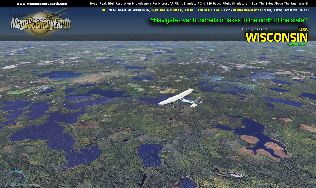
The New MegaSceneryEarth Wisconsin V3 - 2017 featuring unsurpassed image sharpness, scenery color and clarity, improved scenery features with accurate additional water bodies and topographical data and the latest completely-up-to-date aerial imagery available taken in 2017.
Fly the entire state - BORDER to BORDER - of Wisconsin in photoreal detail.
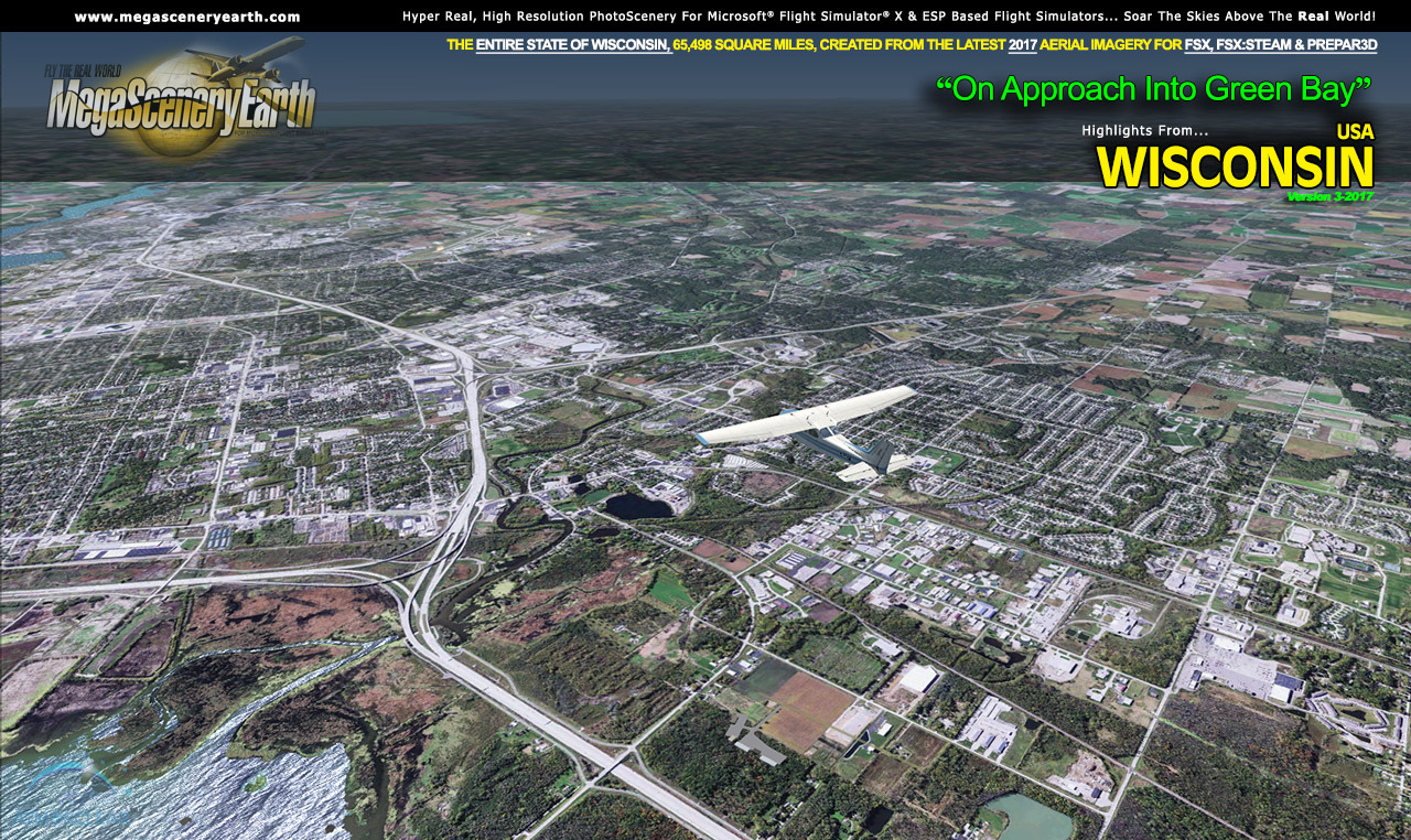
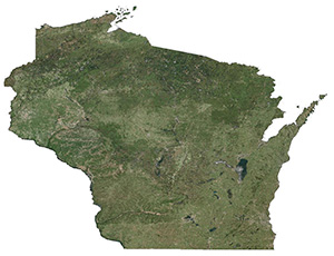
Wisconsin is 65,498 square miles in size and has 493 airports. You'll see everything that you see in Wisconsin in real life in the scenery. This is a massive sized state.
As an added bonus, we now provide all the VFR and IFR charts in digital PDF format to enable you to get the most out of your scenery. This includes TACs and Sectionals, IFR enroute charts and fully indexed 434 page book of Instrument Approach plates, Airport Diagrams, SIDs and STARs. The charts are downloadable along with your scenery files.
You'll see everything that you see in Wisconsin in real life in the scenery. The clarity of the imagery is stunning.
Some of the cities and landmarks you'll get to enjoy as you explore Wisconsin include:
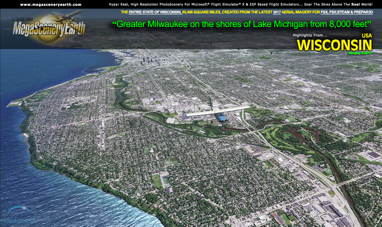
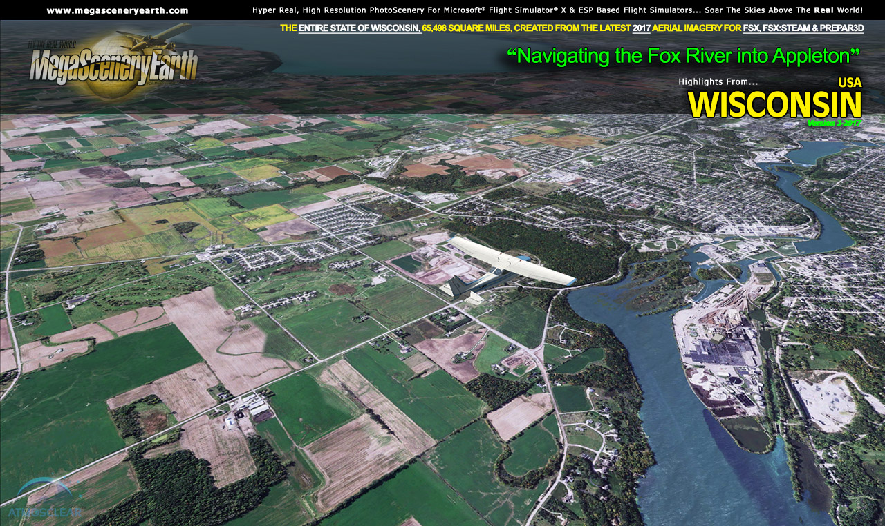
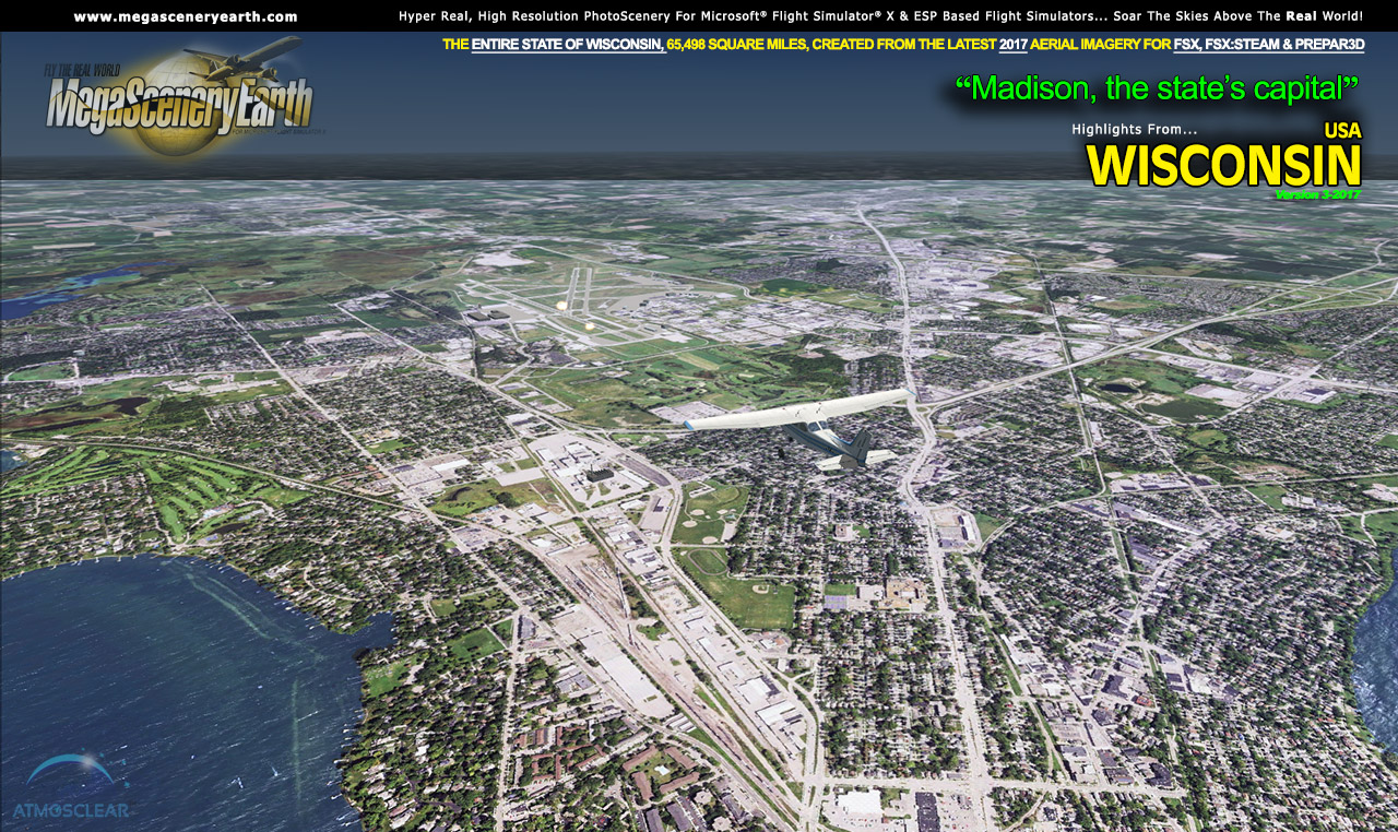
Cities: Milwaukee, Madison, Green Bay, Kenosha, Racine, Appleton, Waukesha, Oshkosh
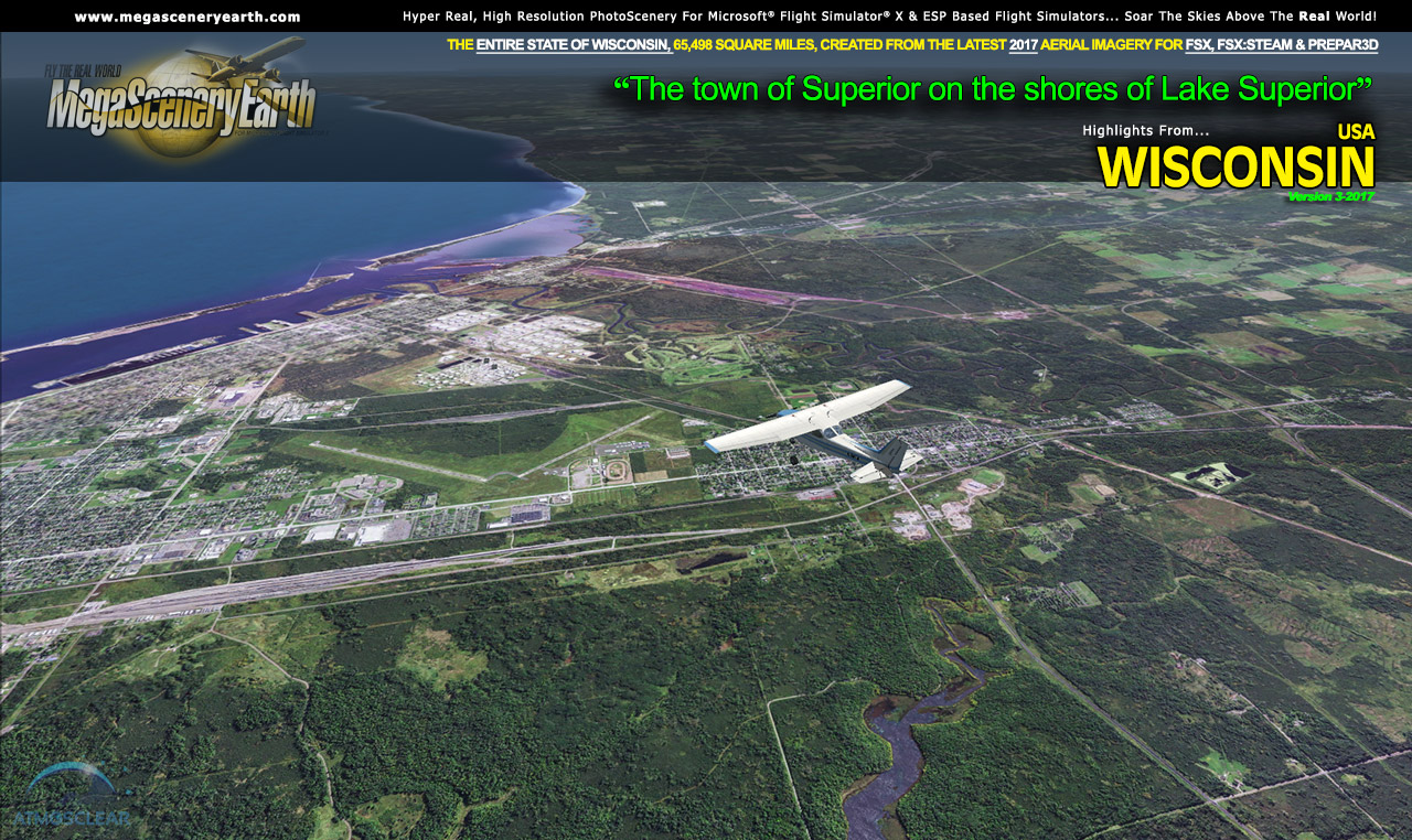
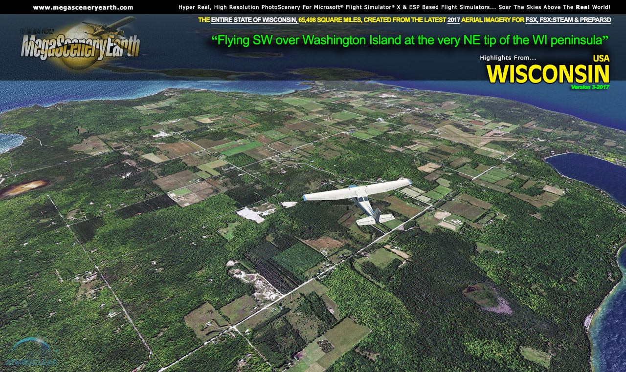
Lakes: Lake Michigan, Lake Winnebago, Petenwell Lake, Lake Koshkonong, Lake Poygan, Parts Of Lake Superior Shoreline
Mountains & Hills: Timms Hill (1,939 ft), Lookout Mountain, Harrison Hills, Rib Mountain, Sugarbush Hill and a total of 50 peaks and mountains above 1,300 feet.
State & National Parks & Forests: Chequamegon-Nicolet National Forest, Northern Highland State Forest, Flambeau River, Kettle Moraine, Black River State Forest
Major Rivers: Mississippi River , Wisconsin River, Milwaukee River, Chippewa River, Namekagon River, Wolf River
This is a download edition with the option to order a DVD disk set (12 discs).
When you order the DVD disk set you will still receive download links. If you do not wish to download, simply wait for your DVDs to arrive in the mail.
 Features New AtmosCLEAR™ Image Clarity Features New AtmosCLEAR™ Image Clarity
Wisconsin imagery is processed using our proprietary AtmosCLEAR™ image processing. AtmosCLEAR™ is a post production image processing technique that simulates the image being photographed in a vacuum to eliminate all atmospheric haze and artifact. It's clear of atmosphere. The result is a crystal clear mathematically optimally contrasted image.
Fly Wisconsin Both Day and Night
Wisconsin blends seamlessly with FSX and Prepar3D night scenery so that dawn and dusk feature a blend of aerial imagery and night lighting while the scenery transitions to full day or full night where all default FSX night scenery displays.
Wisconsin Hydrography
Wisconsin also features Flight Simulator water effects and hand etched shorelines on all lakes, ponds and reservoirs greater than 2.5 sq km. If the water body is greater than 2.5 sq km then its shorelines are hand etched pixel by pixel for highly accurate shorelines. Wide rivers also have hand etched shorelines and banks. The raw photographic water body is left untouched with the result being an authentic variety of different water colors that highlight specific properties e.g. mineral lakes whose color is maintained. Where possible water surface artifact is removed from the image. For users who like to see the water bodies as they are, then simply turn off the simulator water effects and you will see the native aerial images of the water bodies as you fly. Specific characteristics of narrower rivers require that we do not apply water effect to narrow rivers and creeks for a better scenery result.
All The Charts You Need To Navigate Wisconsin
As an added bonus, we now provide all the VFR and IFR charts in digital PDF format to enable you to get the most out of your scenery. This includes TACs and Sectionals, IFR enroute charts and 418 page book of Instrument Approach plates, Airport Diagrams, SIDs and STARs. The charts are downloadable along with your scenery files.
This is a download edition with the option to order a DVD disk set (11 discs).
When you order the DVD disk set you will still receive download links. If you do not wish to download, simply wait for your DVDs to arrive in the mail.
THIS TITLE COMES WITH A FULL SET OF FAA AERONAUTICAL CHARTS FOR Wisconsin IN PDF FORMAT.
Here's what you get (download links for charts will be given to you with your product download):
SECTIONAL CHARTS: Chicago, Green Bay
LOW ALTITUDE IFR CHARTS: ELUS-13/ELUS-14, ELUS-27/ELUS-28 and ELUS-31/ELUS-32
HIGH ALTITUDE IFR CHARTS: EHUS-1/EHUS-2, EHUS-5/EHUS-6
AIRPORT/FACILITY DIRECTORY: A FULLY INDEXED 55 PAGE PDF BOOKLET
APPROACH CHARTS & AIRPORT DIAGRAMS: A FULLY INDEXED 418 PAGE PDF BOOKLET
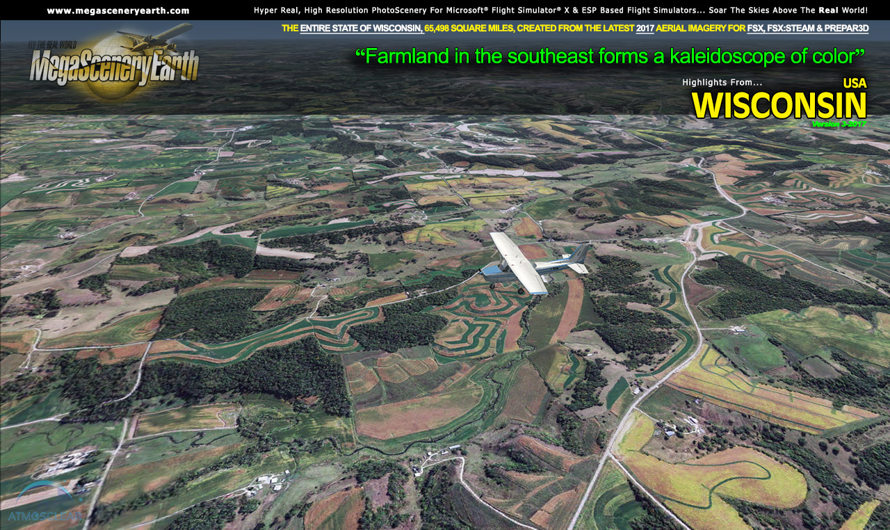
NOTE: The screenshots below don't even scratch the surface of the scope and expanse of this scenery. Discover it all yourself when you purchase this scenery.
|