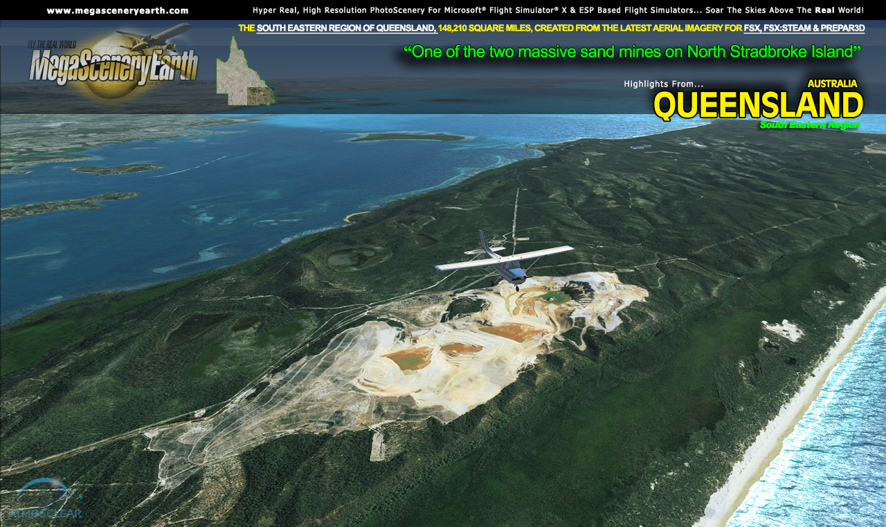
Our fourth Australian state enables you to fly Australia's Sunshine State, Queensland, in photoreal detail.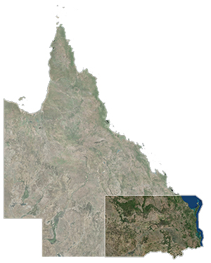
Due to it's massive size of 715,000 square miles, Queensland will be divided into 5 regions. This particular title gives you the South East region which includes Brisbane and is joined to NSW for continuous interstate flight.
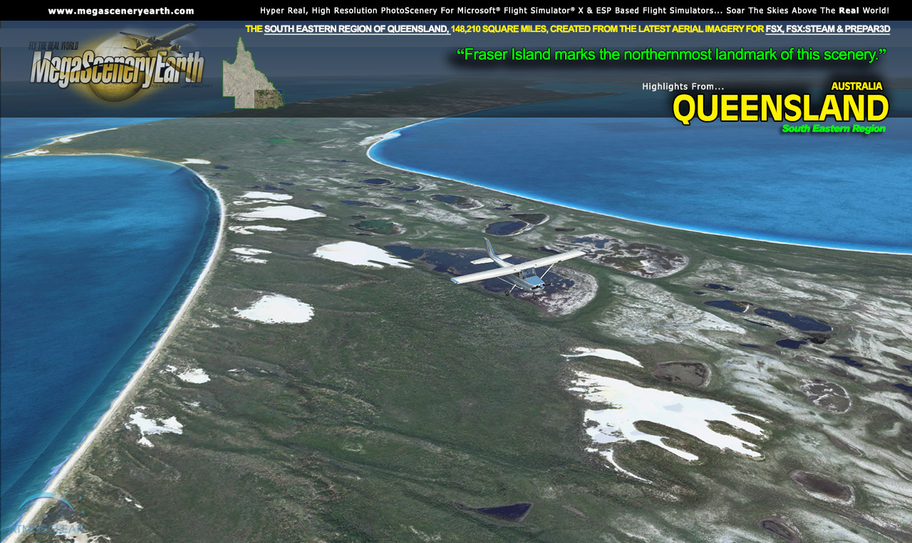
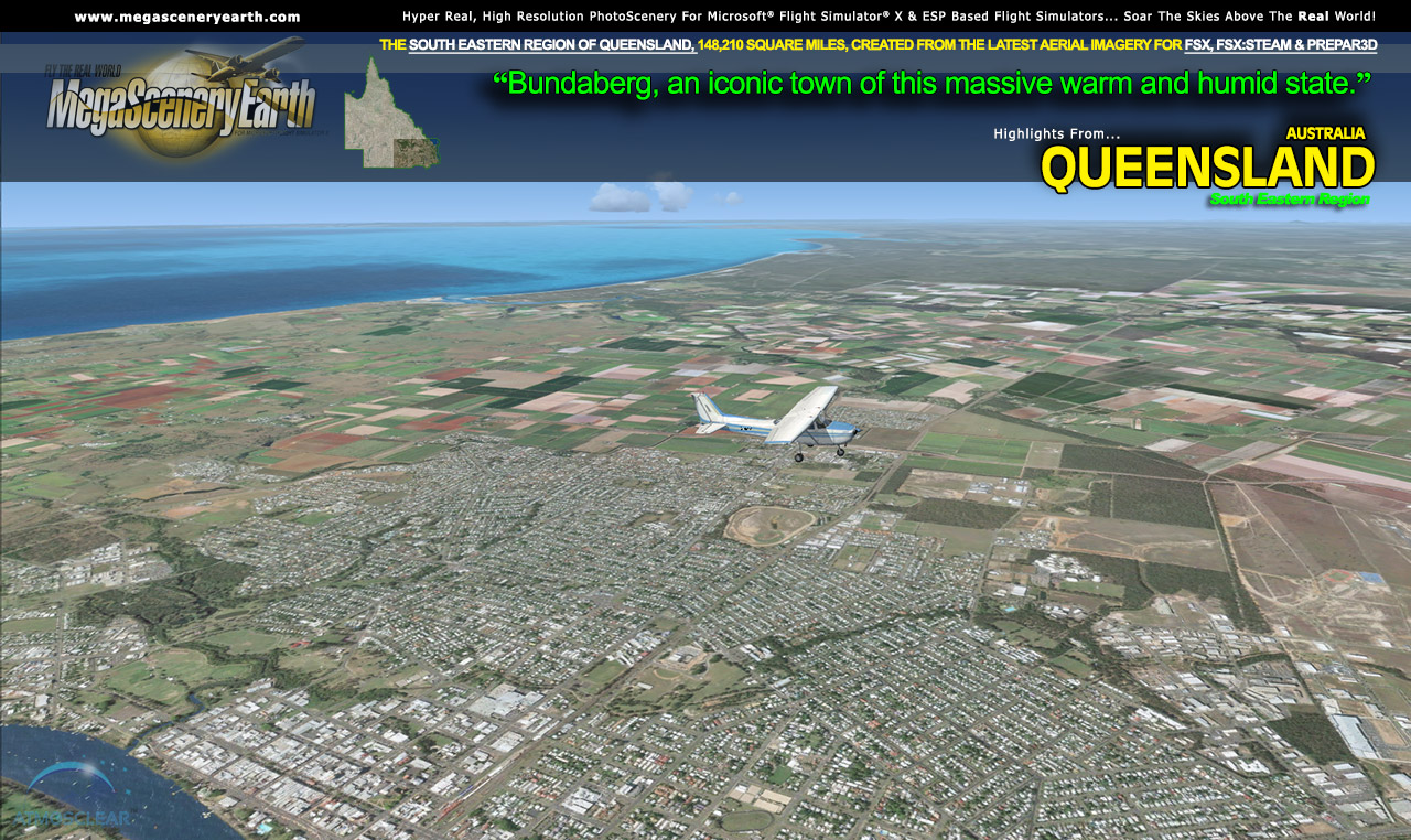
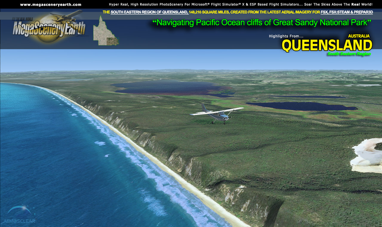
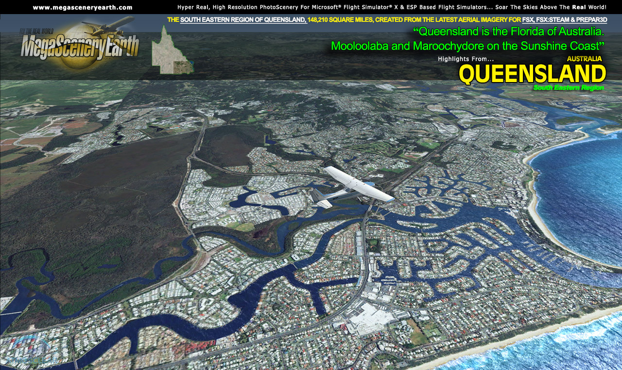
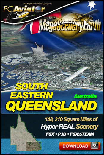
This title is a large 148,210 square miles indicated by the darkened area in the thumbnail on the right.
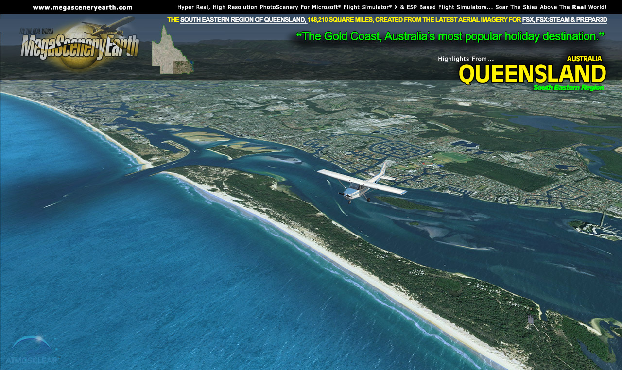
You can now fly continuous flights along the east coast from Tasmania right up to Noosa Heads, north of Brisbane.
The description to follow describes the entire Queensland (still to be completed), however this page enables you to order the South East portion (148, 210 sq mi) as per the thumbnail above.
Fly Queensland Both Day and Night
Queensland blends seamlessly with FSX and Prepar3D night scenery so that dawn and dusk feature a blend of aerial imagery and night lighting while the scenery transitions to full day or full night where all default FSX night scenery displays.
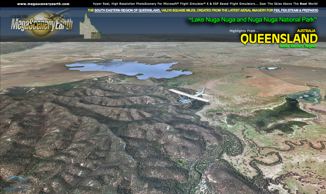
Selected Queensland Hydrography
Queensland also features Flight Simulator water effects and highly accurate hand etched shorelines all lakes, ponds and reservoirs greater than 1 sq km. Wide rivers also have hand etched shorelines and banks. The raw photographic water body is left untouched with the result being an authentic variety of different water colors that highlight specific properties e.g. mineral lakes whose color is maintained. Where possible water surface artifact is removed from the image. For users who like to see the water bodies as they are, then simply turn off the simulator water effects and you will see the native aerial images of the water bodies as you fly. Specific characteristics of narrower rivers require that we do not apply water effect to narrow rivers and creeks for a better scenery result.
This is a download edition with the option to order a DVD disk set (17 DVDs) or 128 Gb Flash Drive
When you order the DVD disk set or flash drive you will still receive download links. If you do not wish to download, simply wait for your media to arrive in the mail.
Aeronautical Charts
Official aeronautical charts to enhance your enjoyment of this scenery can be downloaded from:
http://www.airservicesaustralia.com/aip/aip.asp?pg=10
Here are the charts that apply to this scenery
VISUAL NAVIGATION CHARTS (VNC, SCALE: 1:500,000): Brisbane, Bundaberg, Newcastle, Brisbane
VISUAL TERMINAL CHART (VTC, SCALE 1:250,000): BRISBANE, GOLD COAST
HIGH ALTITUDE IFR CHARTS: H1, H5
LOW ALTITUDE IFR CHARTS: L3, L4
TERMINAL AREA CHART: 3, 4
PLANNING CHART AUSTRALIA
SPECIFIC APPROACH CHARTS & AIRPORT DIAGRAMS
|