INSTALLS VIA OUR NEW ONE CLICK INSTALLER!
There's now only one download file to work to install this scenery. After purchase, just click on the small 4 Mb file to launch the installer, respond to a few prompts and the download then happens in the background right from your desktop using our own downloading utility. The process of downloading and installing such large amounts of data such as this 62 Gb scenery couldn't be easier and more streamlined.
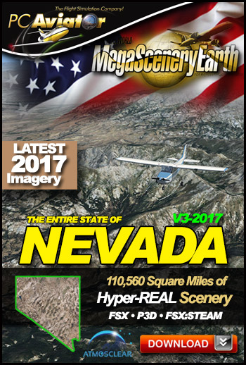
The New MegaSceneryEarth Nevada V3 featuring unsurpassed image sharpness, scenery color and clarity, 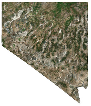 improved scenery features with accurate additional water bodies and topographical data and the latest aerial imagery available taken in 2017.
Nevada is over 110,560 square miles in size and has 114 airports. You'll see everything that you see in Nevada in real life in the scenery.
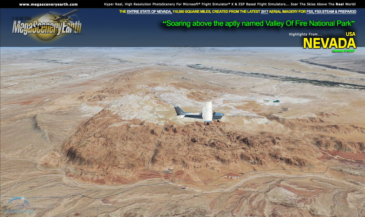
Nevada is yet another of the visually spectacular mountain states that gives you eye candy beyond imagination for your flight simulator flying - towering mountain peaks above 13,000 feet, high plains, canyons, basins, mesas and deserts.
As an added bonus, we now provide all the VFR and IFR charts in digital PDF format to enable you to get the most out of your scenery. This includes 3 Sectionals, 1 Terminal Area Charts, 4 IFR enroute charts, and a 176 page book of Instrument Approach plates, Airport Diagrams, SIDs and STARs, and an Airport Facility Directory. The charts are downloadable along with your scenery files.
Some of the cities and landmarks you'll get to enjoy as you explore Nevada include:
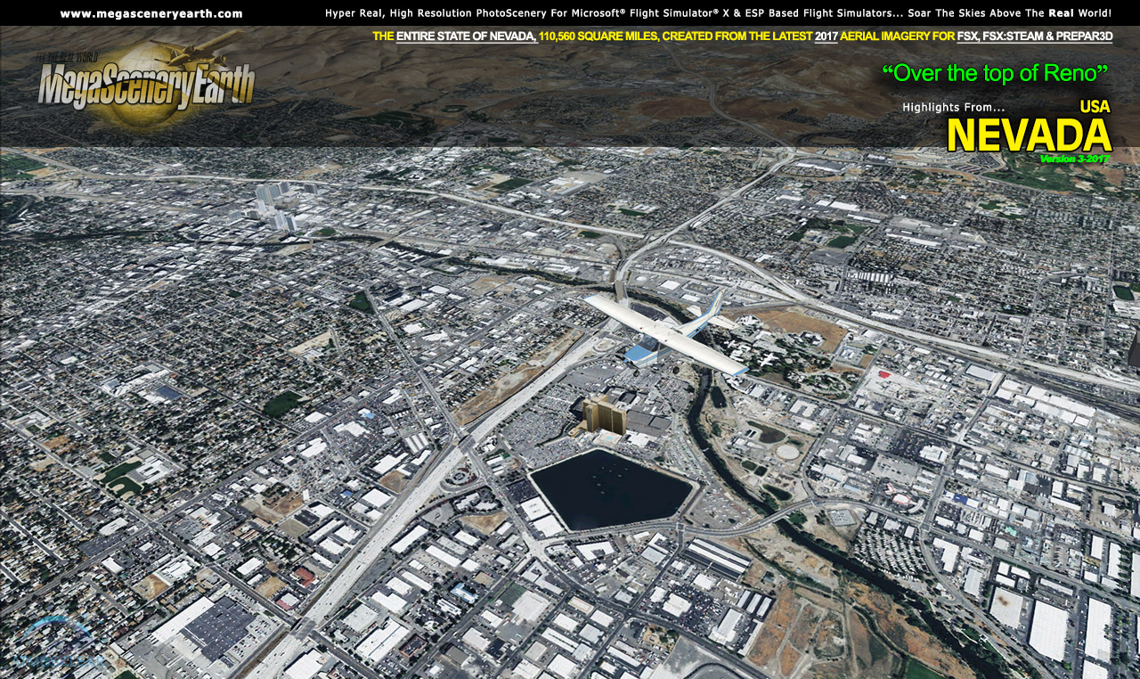
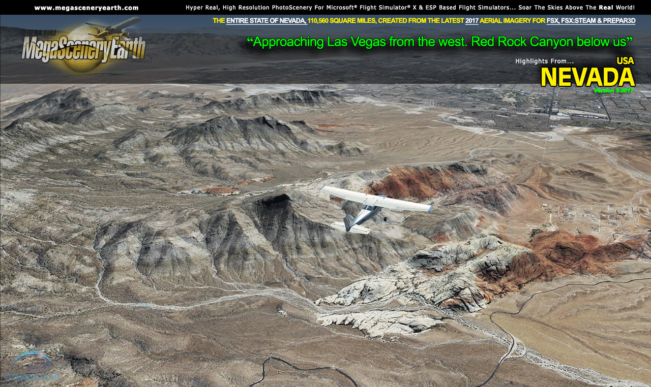
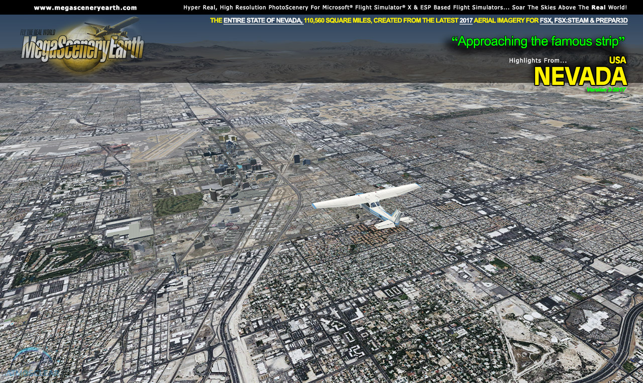
Cities: Las Vegas, Reno, Paradise, Henderson, Spring Valley, Carson City
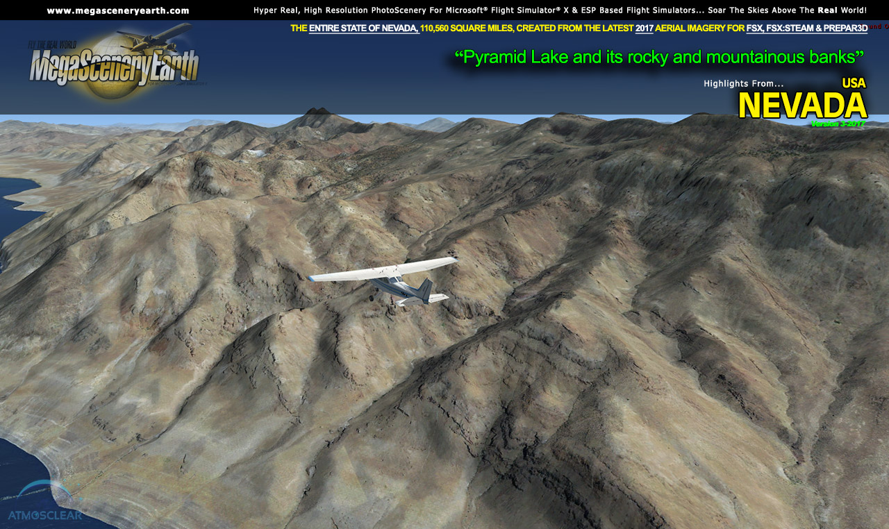
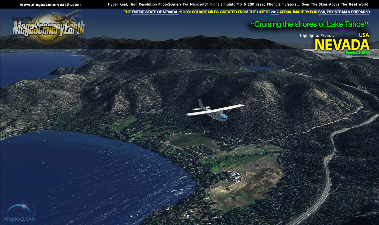
Lakes & Water Bodies: Pyramid Lake, Lake Mead, Lake Mojave, Lake Tahoe, Walker Lake, Hoover Dam
Mountains & Hills: Boundary Peak (13,130 ft), Wheeler Peak, Jeff Davis Peak, South Summit, Baker Peak, Pyramid Peak and a total of 50 other peaks and mountains above 10,500 feet.
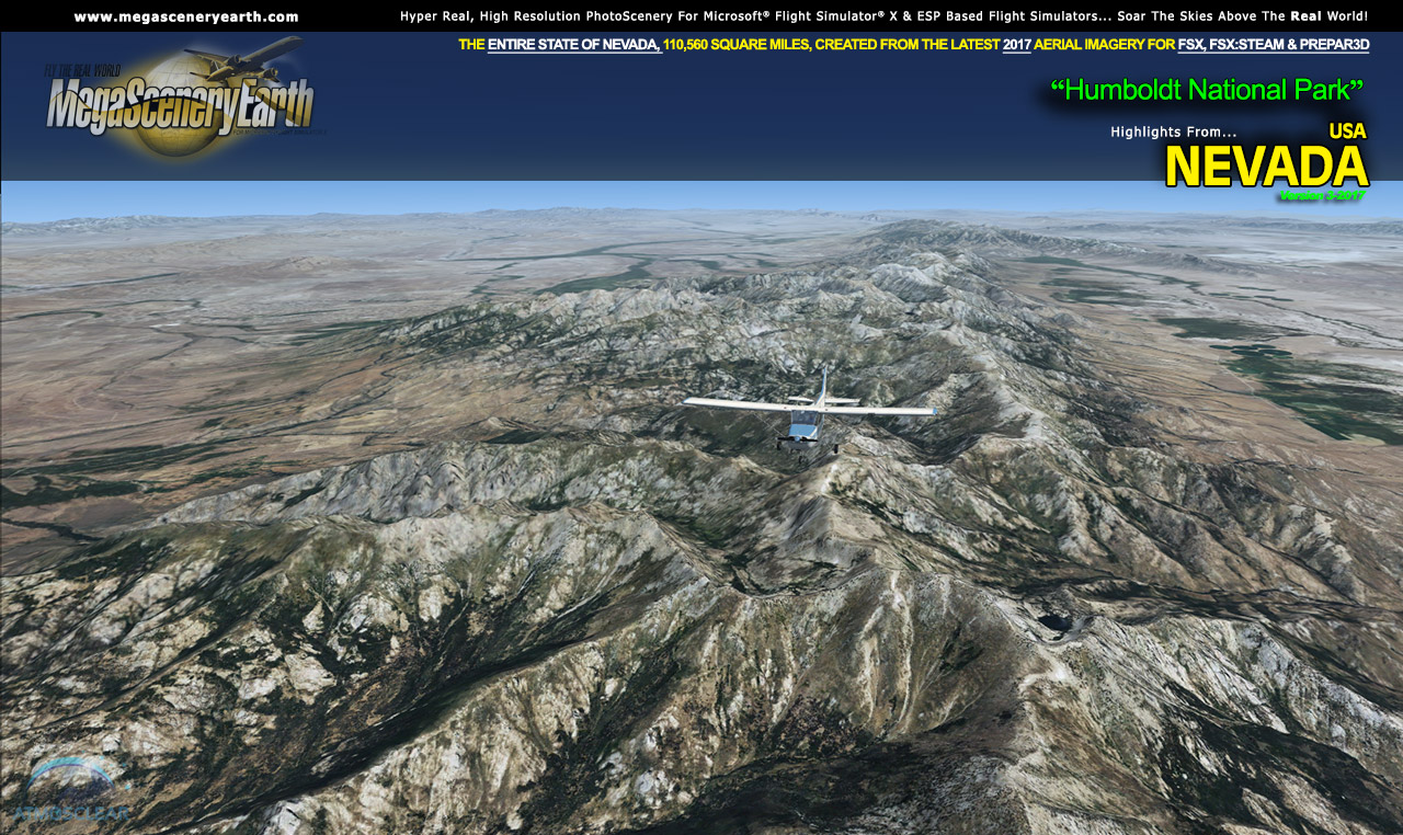
State Parks & National Forests: Humboldt-Toiyabe National Forest, Great Basin, Cave Lake State Park, Wild Horse Reservoir State Park
Major Rivers: Colorado River, Columbia River, Humboldt River, Truckee River
Discover the rest of it all for yourself! There's a LOT to see!
This is a download edition with the option to order a DVD disk set (16 discs).
When you order the DVD disk set you will still receive download links. If you do not wish to download, simply wait for your DVDs to arrive in the mail.
THIS TITLE COMES WITH A FULL SET OF FAA AERONAUTICAL CHARTS FOR Nevada IN PDF FORMAT.
Here's what you get (download links for charts will be given to you with your product download):
SECTIONAL CHARTS: Klamath Falls, Las Vegas, Salt Lake City, San Francisco
TERMINAL AREA CHART: Las Vegas
LOW ALTITUDE IFR CHARTS: ELUS-07/ELUS-08, ELUS-09/ELUS-10, ELUS-11/ELUS-12
HIGH ALTITUDE IFR CHARTS: EHUS-03/EHUS-04
AIRPORT FACILITY DIRECTORY: A FULLY INDEXED 25 PAGE PDF BOOKLET
APPROACH CHARTS & AIRPORT DIAGRAMS: A FULLY INDEXED 176 PAGE PDF BOOKLET
 Features New AtmosCLEAR™ Image Clarity with PerfectCOLOR
Nevada imagery is processed using our proprietary AtmosCLEAR™ and PerfectCOLOR image processing techniques. AtmosCLEAR™ is a post production image processing technique that simulates the image being photographed in a vacuum to eliminate all atmospheric haze and artifact. It's clear of atmosphere. PerfectCOLOR results in a near perfect replication of the real world color. The result from both processes is a crystal clear mathematically optimally contrasted image with near perfect color.
Fly Nevada Both Day and Night
Nevada blends seamlessly with FSX and Prepar3D night scenery so that dawn and dusk feature a blend of aerial imagery and night lighting while the scenery transitions to full day or full night where all default FSX night scenery displays.
Selected Nevada Hydrography
If the water body is greater than 5 sq km, then its shorelines are hand etched pixel by pixel for highly accurate shorelines. Wide rivers also have hand etched shorelines and banks. The raw photographic water body is left untouched with the result being an authentic variety of different water colors that highlight specific properties e.g. mineral lakes whose color is maintained. Where possible water surface artifact is removed from the image. For users who like to see the water bodies as they are, then simply turn off the simulator water effects and you will see the native aerial images of the water bodies as you fly. Specific characteristics of narrower rivers require that we do not apply water effect to narrow rivers and creeks for a better scenery result.
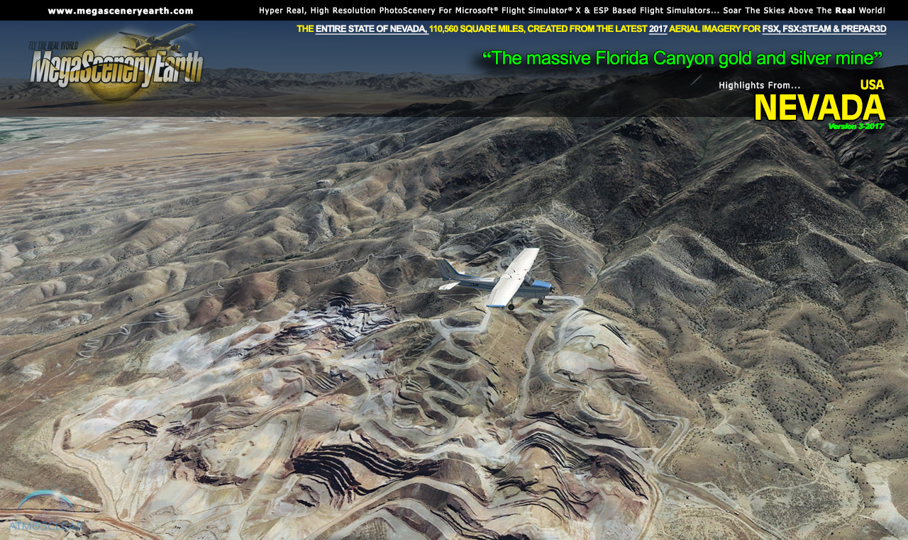
NOTE: The screenshots below don't even scratch the surface of the scope and expanse of this scenery. Discover it all yourself when you purchase this scenery.
INSTALLS VIA OUR NEW ONE CLICK INSTALLER!
There's now only one download file to work to install this scenery. After purchase, just click on the small 4 Mb file to launch the installer, respond to a few prompts and the download then happens in the background right from your desktop using our own downloading utility. The process of downloading and installing such large amounts of data such as this 62 Gb scenery couldn't be easier and more streamlined.