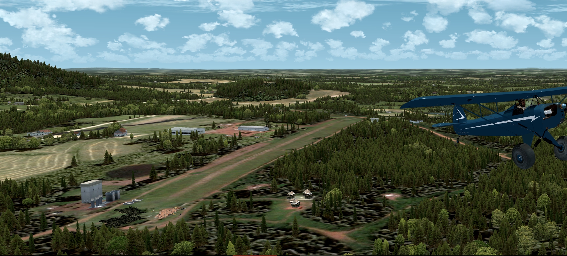
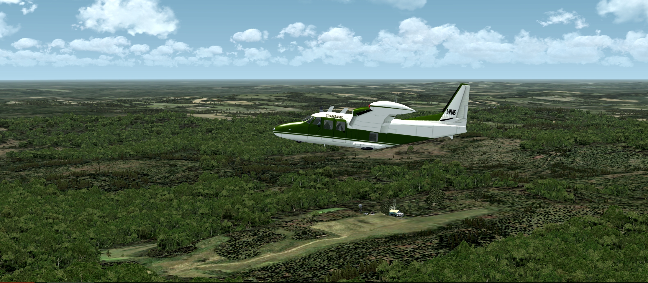
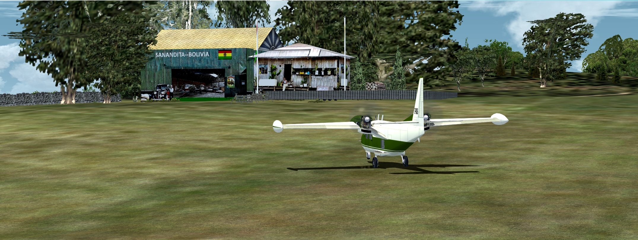
Bolivia - 10 Grass Airfields
Search
Categories
- DEALS & DISCOUNTS!
- MS Flight Simulator 2020
- => NEW ADDITIONS
- => CLEARANCE ITEMS
- Flight Sim X Addons
- Prepar3D Addons
- FSX:Steam Addons
- X-Plane Addons
- Flight Sim 2004 Addons
- Other Flight Sim Addons
- MegaSceneryEarth
- Flight Simulators
- Air Traffic Control
- System Utility
- Flight Training Software
- PC Aviator Brand Titles
-
Boxed Software
- Flight Sim X Addons
- Flight Sim 2004 Addons
- Flight Simulators
- X-Plane Addons
- Prepar3D Addons
- Flight Training Software
- System Utility
- Flight Controls & Home Cockpit
- Books & Magazines
- Aviation Videos
OTHER
Your cart
Your account
Bestsellers
- Seattle Airports X with KSEA
- Chicago O'Hare International Airport (KORD)
- Washington DC X
- NY Airports v2 X Volume 1: KEWR, KLDJ, KCDW
- New York JFK International Airport V1 (KJFK)
- Myrtle Beach 2012
- San Diego Lindbergh International Airport (KSAN)
- NY Airports v2 X Volume 2: KJFK, KLGA, KTEB
- Los Angeles International Airport (KLAX)
- Honolulu International Airport (PHNL)
-->
Users online:
1562
shopping
,
1
checking out
Powered by X-Cart php shopping cart
Copyright © 1999-2024 PC Aviator Inc