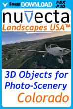
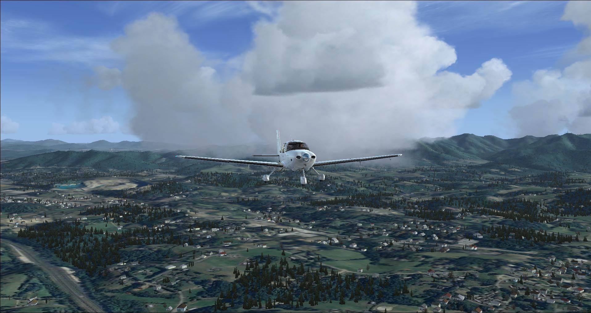
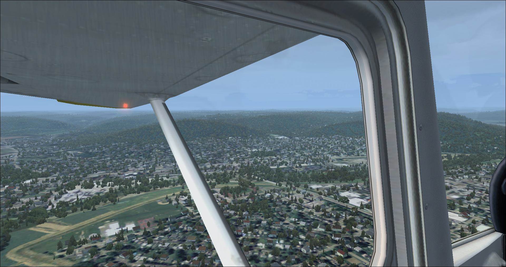
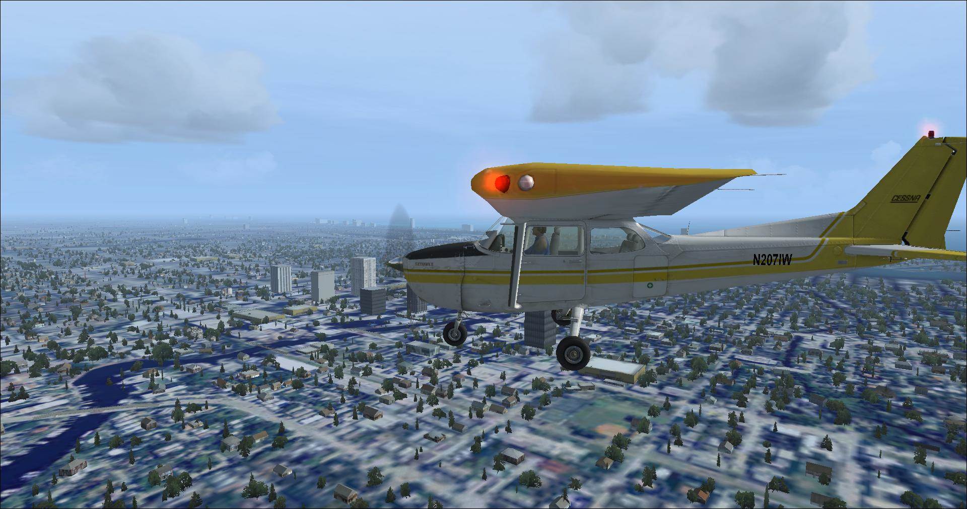
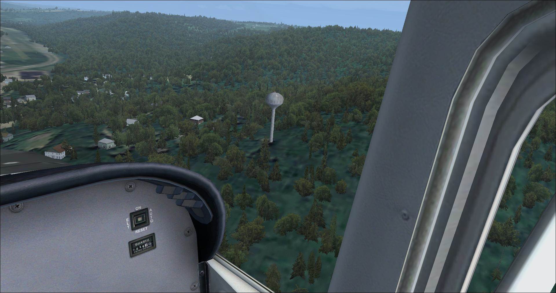
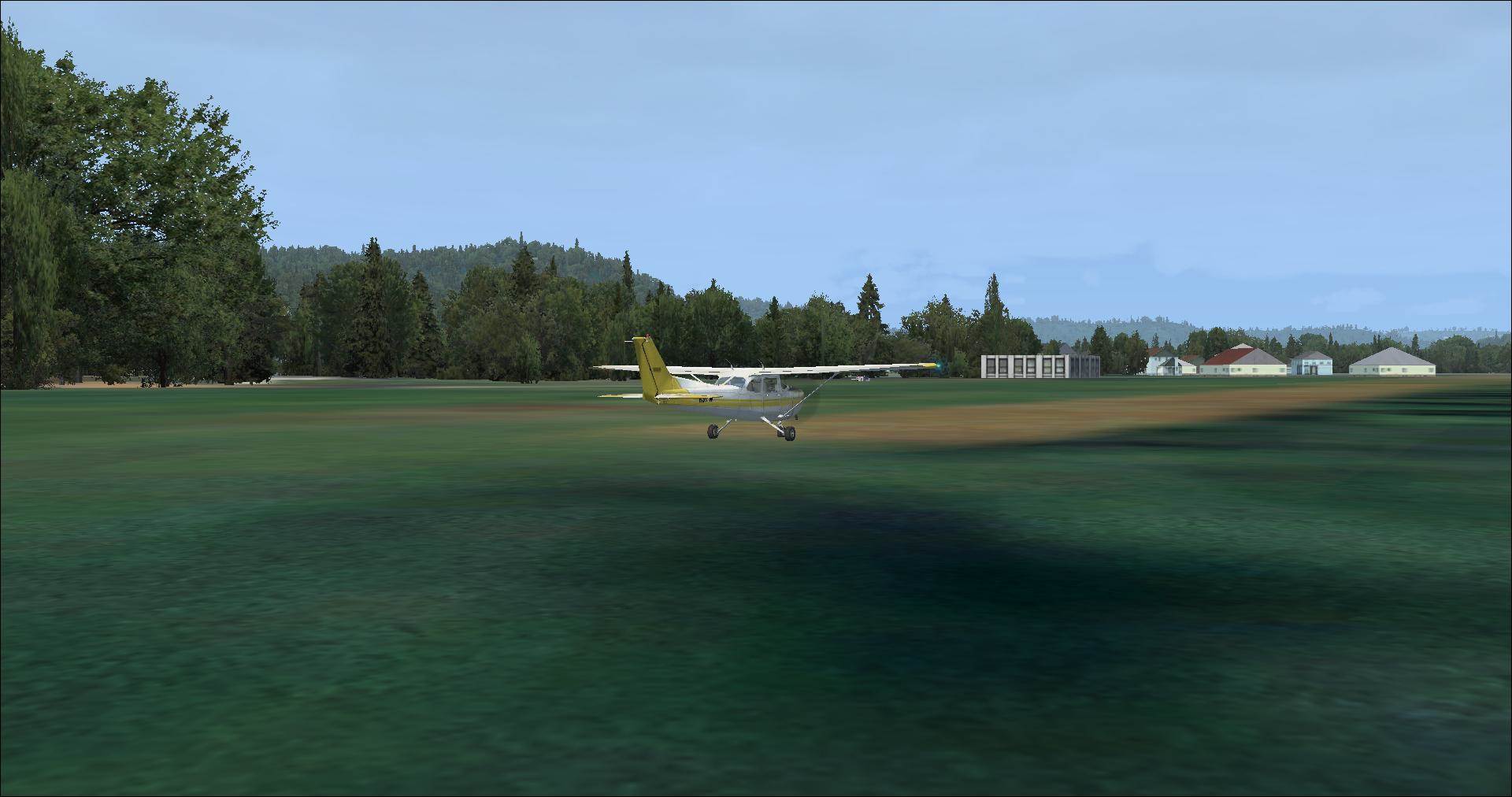
All 104,094 sq. miles (269,602 km2) of your Colorado flat-top photo-scenery becomes 3-Dimensional again as originally intended.. If you want to fly VFR, Landscapes(tm) makes it real again by restoring literally millions of autogen buildings, houses, trees, hundreds of regularly updated FAA Obstacles (towers, windmills, tanks, tall buildings, grain and other elevators)
Landscapes(tm) takes nuvecta's original Treeline(tm) product to the next level by adding buildings and other objects to the trees and enhances your photo-real experience. The product brings back superior 3-D to photo-scenery and photo-real.
NOTE: LANDSCAPES REPLACES TREELINE. YOU DO NOT NEED TO PURCHASE TREELINE IN ADDITION.
Landscapes™ is part of a continuing line of flight simulation products designed to enhance the simulated flying of professional and amateur alike. It covers North America and many other countries to a degree previously impossible and never experienced. Currently the series blankets photo-scenery for 49 US states, Puerto Rico and the US Virgin Islands.
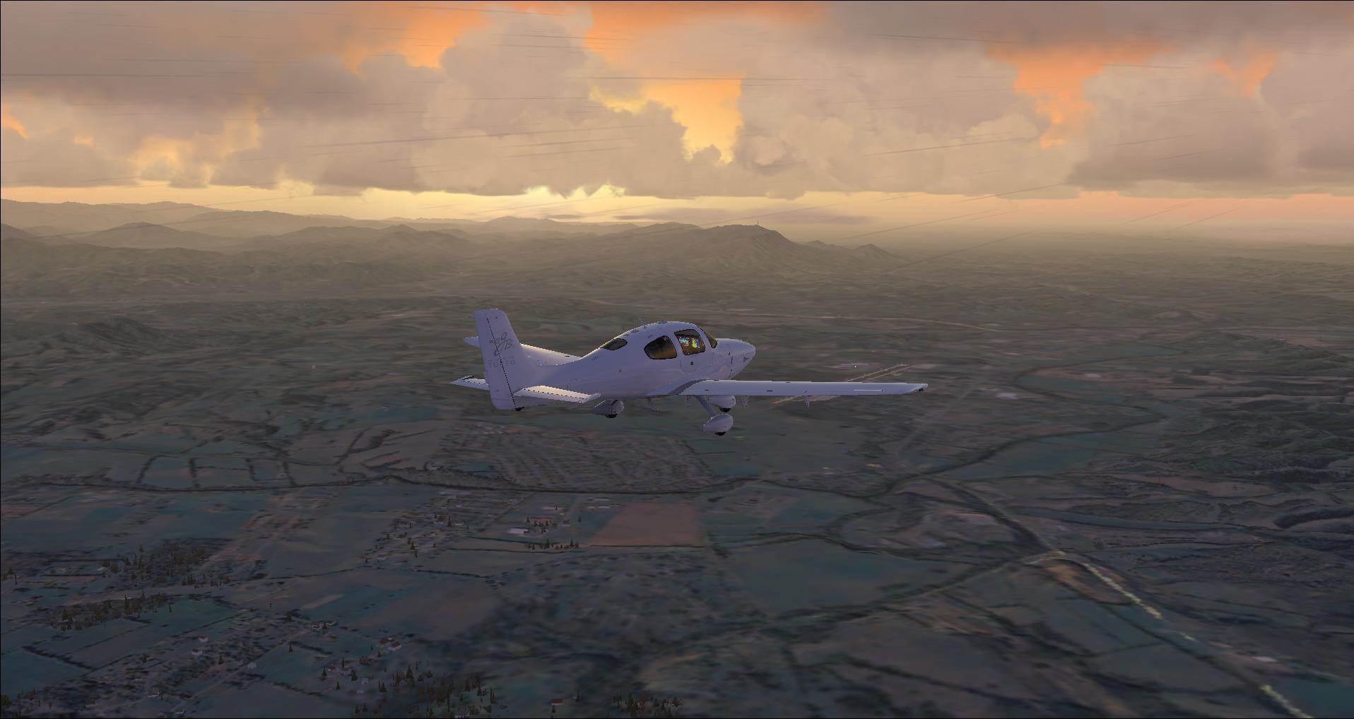
With the series, you can complete your photo-scenery and take it to the next level with full 3D autogen. You no longer should put up with the bleak low-level flat landscape of photo-scenery. Don't put up with the approximation to reality of some products. Overcome the complete lack of real-world spatial features in the original simulation products. Fly in a VFR environment rich with the real-world format of your existing scenery and enhanced by the realistic 3D scenery of VFR-series derived from 1:24000 detail scale commercial mapping data – equivalent to USGS Topo Map detail and numerous other sources for the USA and 1:25,000 for the UK. The buildings and houses are located accurately from available GIS data and propietary nuvecta AI algorithms.
This scenery eliminates or reduces the problems produced by imagery – lack of seasonal differences, uneven colors or contrast across various tiles – by covering the ground with FS native autogen capable of reflecting time but not laid out relatively randomly and in repetitive tiles like FSX autogen and other traditional FS scenery add-ons. This 3D landscape shows what is there when you fly over a location as it should be shown.
Works with all the most popular photo-real imagery. Some photo-scenery products split the scenery into two or more areas. In this case, you simply run the Landscapes USA(tm) installer for each region as directed in the instruction manual.
The product makes no changes to your available autogen object libraries (original or any installed add-on textures) and frame rates are the same as they would be for rendering similar amounts of 3D scenery using the same setup.
For FSX and FSX-SE (for non-commercial use) and VFR-Series Pro™ for Prepar3D (intended for commercial use only)
System Requirements and Recommendations:
-
YOU MUST HAVE PHOTO-SCENERY INSTALLED FOR THE AREA YOU HAVE LOADED Landscapes™!!!!!
-
Generally follow the same parameters as good FSX installs
-
Microsoft Flight Simulator X (SP2 or Acceleration), Dovetail FSX-SE, or Prepar3D for VFR-Series Pro™
-
Windows XP(SP2), Windows Vista, Windows 7, Windows 8, Windows 8.1, Windows 10
-
Minimum 3.2 GHz, preferably 3.7 GHz and up for best results, processor (Quad Core recommended)
-
Something like 100Mb hard-drive space free per state
-
512 MB graphic card (2 GB or above recommended)
NO REFUNDS!!!!
|