PC Aviator Inc :: MegaSceneryEarth :: Australia :: MegaSceneryEarth 3 - Western Australia (South West)

MegaSceneryEarth 3 - Western Australia (South West)

MegaSceneryEarth 3 - Western Australia (South West)

MegaSceneryEarth 3 - Western Australia (South West)

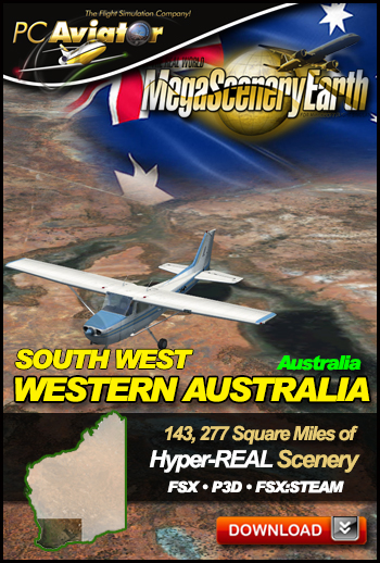
Fly the south western region of Australia's largest state, Western Australia, - including Perth - made real with 1 meter per pixel aerial photoscenery

Details
SKU DL-MSEV3-WASW
COMPATIBILITY FSX/FSX:SE/P3D V1 THRU V5
MEDIA INSTANT DOWNLOAD
SIZE (Mb) 56,600
PUBLISHER PC Aviator Inc (MORE)
 
Regular Price: $39.95
Price: $14.97
Options
Delivery Options
Quantity 1 (this product is an instant download)

Our fifth Australian state enables you to fly the South West region of Australia's largest and most western state, Western Australia.

Due to it's massive size of 1 million square miles, Western Australia will be divided into multiple regions commencing with the most populates areas first.

This particular title gives you the capital and largest city Perth, north to Cervantes and inland as far as Kalgoorlie and Esperance and also includes Albany. 

The coastline features over 1,000 nautical miles of Indian Ocean and Southern Ocean coastline. 

This title is a large 143,277 square miles (386,000 sq km) indicated by the darkened area in the thumbnail on the right.

The description to follow describes the entire Western Australia (still to be completed), however this page enables you to order the South West portion (143, 277 sq mi) as per the thumbnail above.

Fly Western Australia Both Day and Night
Western Australia blends seamlessly with FSX and Prepar3D night scenery so that dawn and  dusk feature a blend of aerial imagery and night lighting while the  scenery transitions to full day or full night where all default FSX night scenery displays.

This is a download edition with the option to order a DVD disk set (14 DVDs) or 64 Gb Flash Drive

When you order the DVD disk set or flash drive you will still receive download links. If you do not wish to download, simply wait for your media to arrive in the mail.

Aeronautical Charts

Official aeronautical charts to enhance your enjoyment of this scenery can be downloaded from:

http://www.airservicesaustralia.com/aip/aip.asp?pg=10

Here are the charts that apply to this scenery

WORLD AERONAUTICAL CHART (SCALE: 1:1,000,000): Perth, Albany, Esperence, Kalgoorlie

VISUAL NAVIGATION CHARTS (VNC, SCALE: 1:500,000): Perth

VISUAL TERMINAL CHART (VTC, SCALE 1:250,000): PERTH

HIGH ALTITUDE IFR CHARTS: H3, H4

LOW ALTITUDE IFR CHARTS: L8

TERMINAL AREA CHART: 7, 8

PLANNING CHART AUSTRALIA

SPECIFIC APPROACH CHARTS & AIRPORT DIAGRAMS

63%
 
-->