Photo_Aligned_Airports_Alabama.zip (356.4 kB)
FREE DOWNLOAD: PhotoAligned Airports For Alabama Courtesy Gene Lacy - Datawings
The New MegaSceneryEarth Alabama 3 featuring unsurpassed image sharpness, scenery color and clarity, improved scenery features with accurate additional water bodies and topographical data and the latest aerial imagery available taken in 2015.
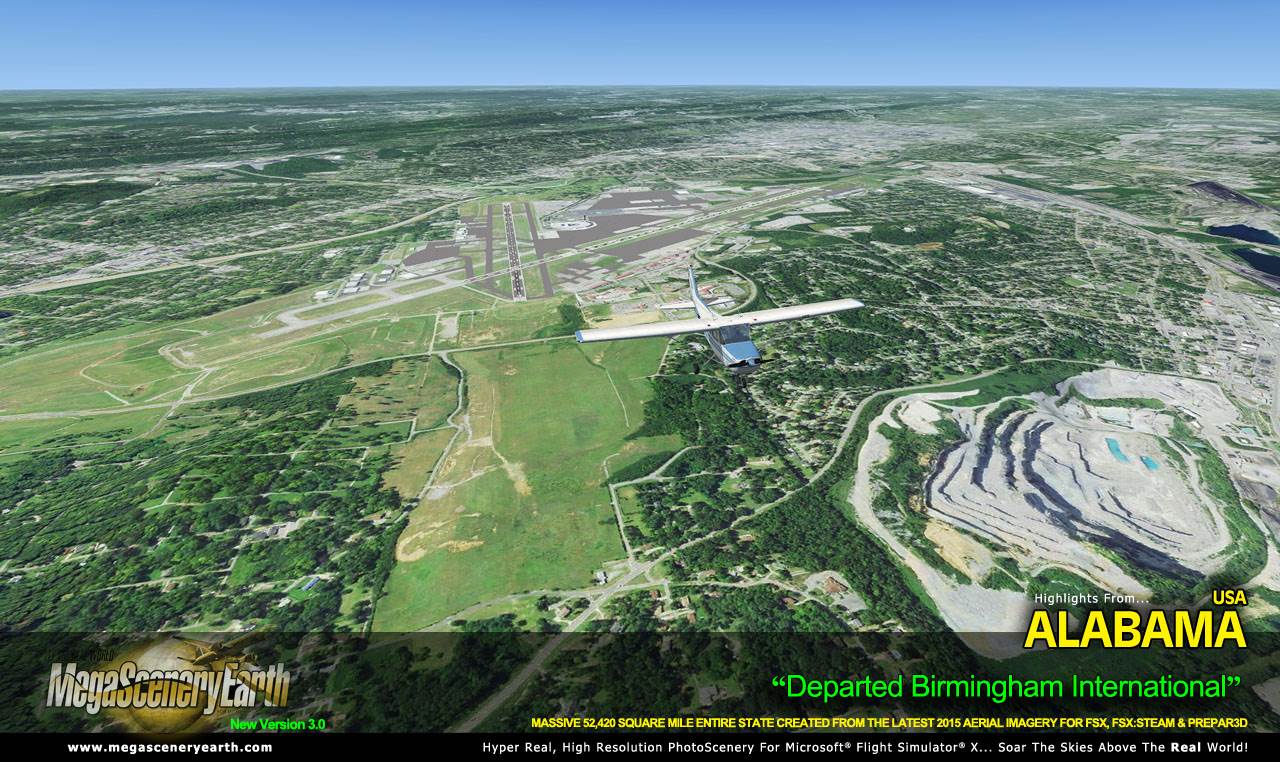
Welcome to the Heart of Dixie, the southeastern state of Alabama. Bordered by 4 states (GA, FL, MS, TN) and a small section of the Gulf of Mexico, Alabama is the thirtieth largest state and gives you 52,419 square miles of Alabamian terrain to explore as you soar the flight simulator skies in and out of 203 airports.
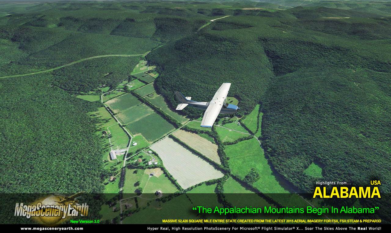
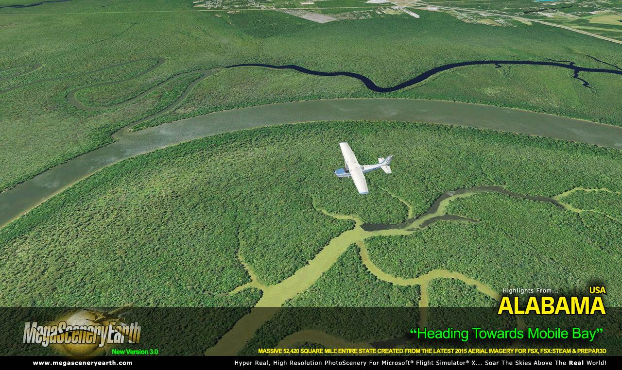
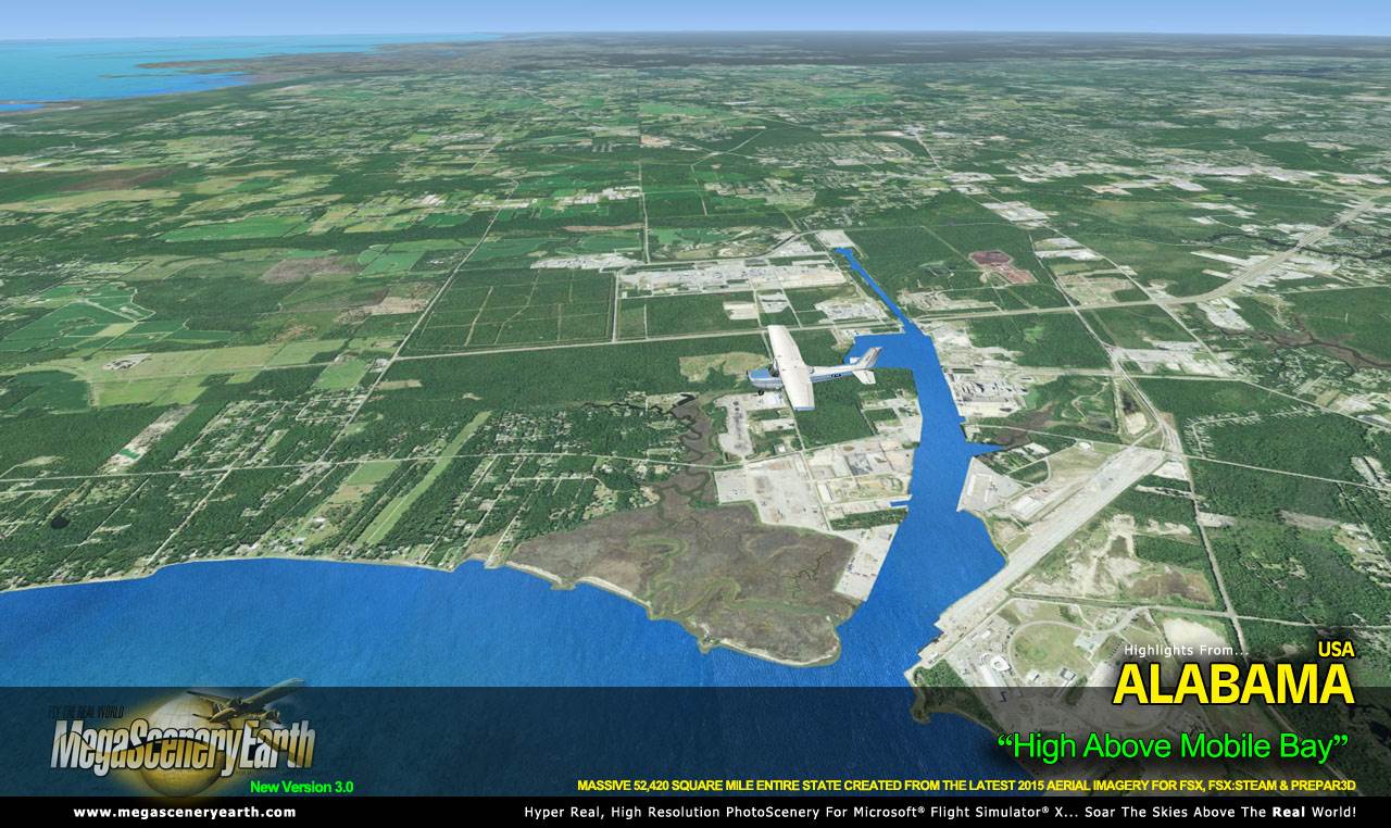
Alabama has an average elevation of just 500 feet, with the highest peak Cheaha Mountain it 2,382 feet, so you could consider it as being relatively flat but it's not without interesting features and well known population centers such as Birmingham, Montgomery, Huntsville, and Mobile and its bay in the Gulf of Mexico.
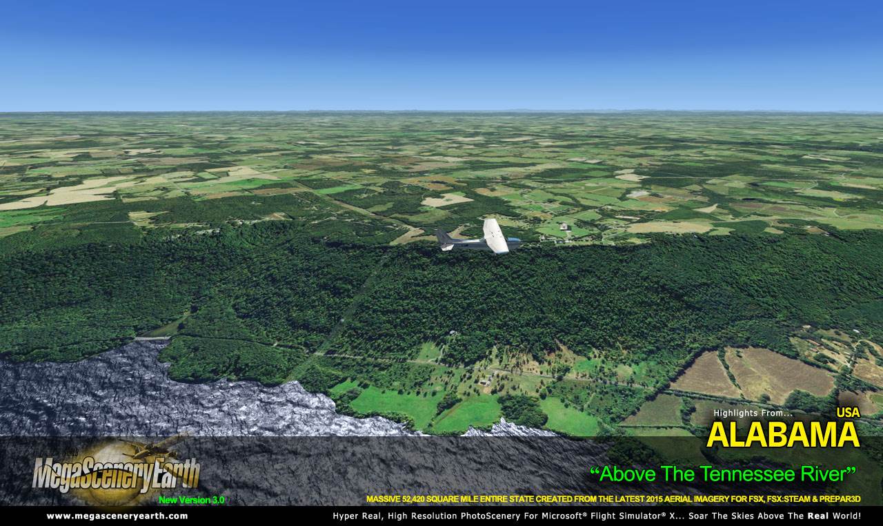
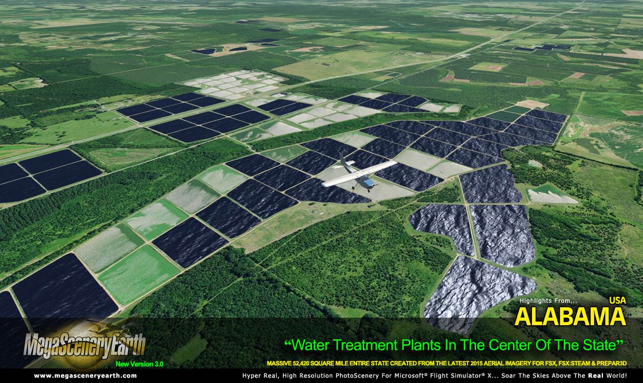
6 major interstate highways feed into Birmingham (it's fun following them visually). There's a good number of forests, large lakes, one of the largest waterways and there's Alabama's greatest natural disaster, the Wetumpka crater.
Remember, you'll see everything that you see in Alabama in real life in the scenery. The clarity of the imagery is stunning.
As an added bonus, we now provide all the VFR and IFR charts in digital PDF format to enable you to get the most out of your scenery. This includes Sectionals, IFR enroute charts and 312 page book of Instrument Approach plates, Airport Diagrams, SIDs and STARs, and an Airport Facility Directory. The charts are downloadable along with your scenery files.
Some of the cities and landmarks you'll get to enjoy as you explore Alabama include:
Cities: Birmingham (Largest), Montgomery, Mobile, Huntsville, Tuscaloosa, Hoover
Lakes & Water Bodies: Wheeler Lake, Wilson Lake, Guntersville Lake, Lake Martin, Lay Lake, Mitchell Lake, Gulf of Mexico Shoreline
Mountains & Hills: Cheaha Mountain (2,382 ft), Talladega Mountain, Odum Point, Hernandez peak, Bald Rock, Parker High Point and a total of 50 peaks above 1,700 feet.
State Parks & National Forests: William Bankhead National Forest, Talladega National Forest, Conecuh National Forest
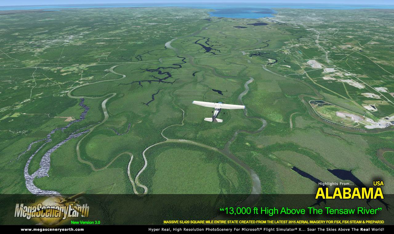
Major Rivers: Alabama, Tennessee, Chattahoochee, Tombigbee, Conecuh, Cahaba
Discover the rest of it all for yourself! There's a LOT to see!
This is a download edition with the option to order a DVD disk set (7 discs).
When you order the DVD disk set you will still receive download links. If you do not wish to download, simply wait for your DVDs to arrive in the mail.
THIS TITLE COMES WITH A FULL SET OF FAA AERONAUTICAL CHARTS FOR ALABAMA IN PDF FORMAT.
Here's what you get (download links for charts will be given to you with your product download):
SECTIONAL CHARTS: Atlanta, Memphis & New Orleans
LOW ALTITUDE IFR CHARTS: ELUS-17/ELUS-18 and ELUS-21/ELUS-22
HIGH ALTITUDE IFR CHARTS: EHUS-9/EHUS-10
AIRPORT FACILITY DIRECTORY: A FULLY INDEXED 46 PAGE PDF BOOKLET
APPROACH CHARTS & AIRPORT DIAGRAMS: A FULLY INDEXED 312 PAGE PDF BOOKLET
|